2020s Maps of Young County, Texas
Explore 25 historic maps of Young County from the 2020s. These maps offer a rare glimpse into what life looked like during the 2020s — showing old roads, neighborhoods, homes, and landmarks that have changed or disappeared over time.
Whether you're researching your family's past, planning a metal detecting trip, or studying how Young County's landscape evolved across the 2020s, these high-resolution maps are a powerful tool for exploring the history of this region.
- Focus on a specific era: All maps on this page are from the 2020s, giving you a focused view of this time period.
- See what’s changed: Compare century-old streets, trails, and buildings to today's modern landscape using overlays and satellite layers.
- Research with precision: Use these maps for genealogy, historical research, land use analysis, or educational projects.
- View, download, or print: Maps are fully viewable online in high resolution, and can be downloaded or printed for your own records.
Start exploring Young County's history through authentic maps from the 2020s. This is your window into the past.
Young County, TX maps
(25)- 2022 Map of South Bend, 2022 Print
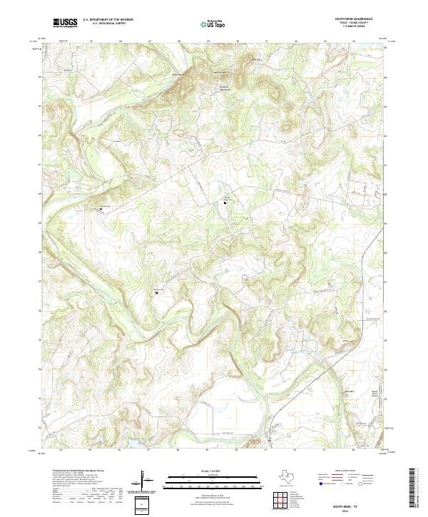 2022 South Bend2022 Print · USGSThe Brazos River and its Clear Fork converge here in Young County, shaping a rural landscape of ranch lands and river bends. Genealogists can trace family heritage through Median Cem, Brooks Cem, and the Tonk Valley Cem.
 - 2022 Map of Ross Mountain, 2022 Print
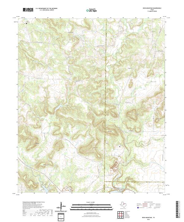 2022 Ross Mountain2022 Print · USGSThe convergence of Young, Jack, and Palo Pinto counties is captured here in the early twenty-first century. Researchers can trace ancestral connections at the Finis Cem or locate family-named landmarks like Ross Mtn and Kisinger Mtn.
 - 2022 Map of True, 2022 Print
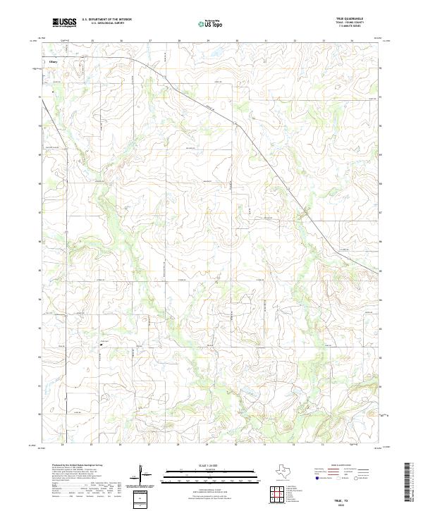 2022 True2022 Print · USGSThe rural plains of Young County unfold in this recent survey, centered on the ranching lands south of the city. Genealogists and local historians can trace the paths of family-named routes like Pringle Rothell Rd and Taack Rd leading to the quiet True Cem.
 - 2022 Map of Tackett Mountain, 2022 Print
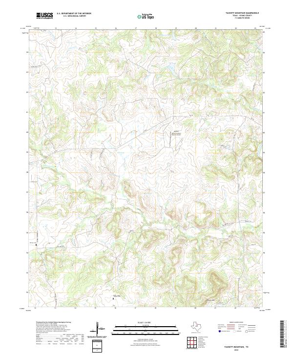 2022 Tackett Mountain2022 Print · USGSYoung County's ranching landscape is captured in this modern survey, showing the area's transition into the twenty-first century. Researchers can locate family burial sites at the Murray Cem or trace the drainage of Cribb Station Cr and the Brazos River.
 - 2022 Map of Bobcat Bluff, 2022 Print
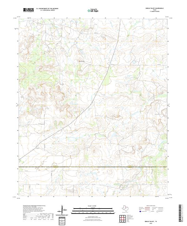 2022 Bobcat Bluff2022 Print · USGSThe borderlands of Archer and Young counties are shown in this modern survey of the Trinity River headwaters. Researchers can trace land boundaries near Bobcat Bluff and locate water sources like Persimmon Springs, Conner Lake, and the S Fork Trinity River.
 - 2022 Map of Megargel, 2022 Print
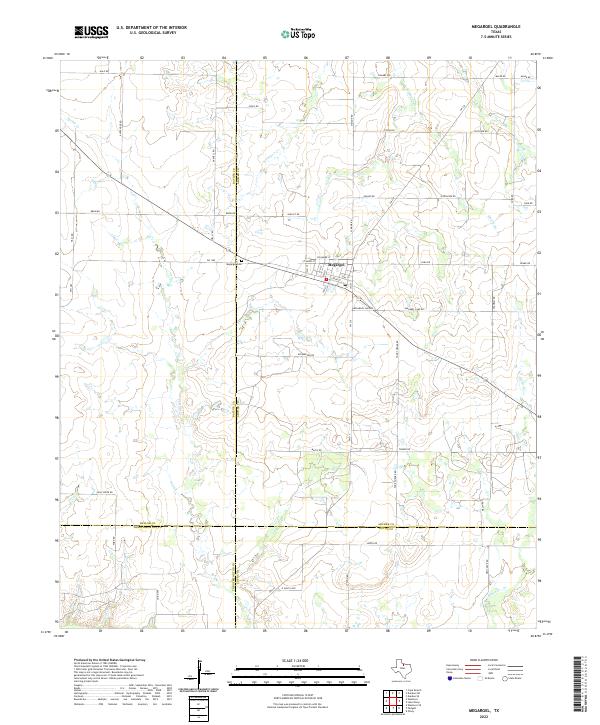 2022 Megargel2022 Print · USGSThe rural crossroads of Megargel in the early 2020s sit at the unique junction of four Texas counties. Genealogists and local historians can trace family land via roads like Posey Rd and Slaughter Rd, or locate the Megargel Cem and the central PO.
 - 2022 Map of Graham, 2022 Print
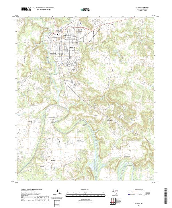 2022 Graham2022 Print · USGSGraham and the surrounding river bends of Young County are captured here in the early twenty-first century. Researchers can trace family roots at Oak Grave Cem, locate the Young County Courthouse, or follow the Brazos River south toward Bunger.
 - 2022 Map of Olney, 2022 Print
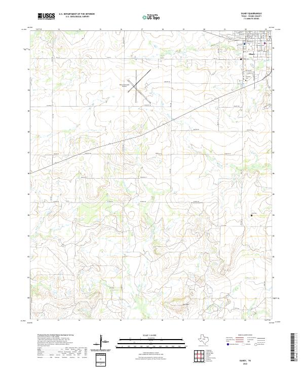 2022 Olney2022 Print · USGSThe community of Olney and the surrounding Young County landscape are captured here in the early 2020s. Genealogists and local historians can trace family sites at Pioneer Cem, Restland Cem, and Orth Cem or follow the winding paths of California Cr and Big Skid Cr.
 - 2022 Map of Prickly Pear Branch, 2022 Print
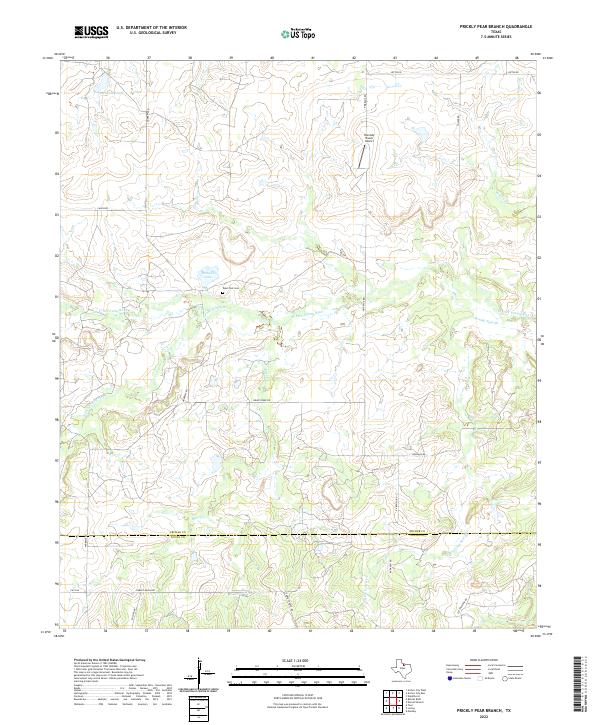 2022 Prickly Pear Branch2022 Print · USGSArcher and Young counties meet in this North Texas ranchland during the early 2020s, where the river forks converge. Genealogists and land researchers can locate the West Fork Cem and trace old family ranch boundaries along Garvey Ranch Rd and the W Fork Trinity River.
 - 2022 Map of Loving, 2022 Print
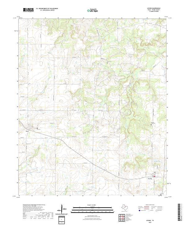 2022 Loving2022 Print · USGSYoung County's ranching landscape is captured in this modern survey of the area around Loving and Jean. Researchers can trace family history through sites like Farmer Cem, Hawkins Chapel Cem, and family-named routes such as Sam Hawkins Rd.
 - 2022 Map of Markley, 2022 Print
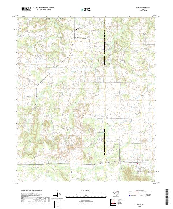 2022 Markley2022 Print · USGSThe borderlands of Young and Jack counties are captured here in the early twenty-first century, featuring the rural communities of Markley and Jermyn. Researchers can trace local genealogy and land use via Markley Cem, Graceland Cem, and landmarks like Spie Knob.
 - 2022 Map of Proffitt Crossing, 2022 Print
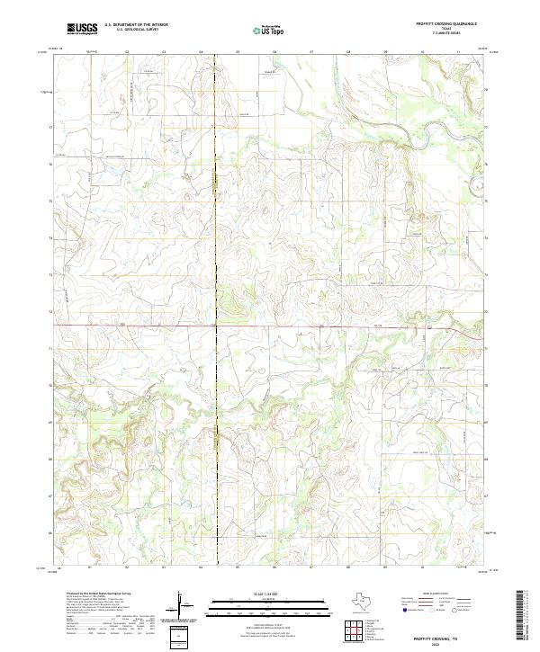 2022 Proffitt Crossing2022 Print · USGSYoung and Throckmorton Counties appear here in the early twenty-first century, showing a landscape defined by the Brazos River and its many tributaries. Researchers can trace historic family names and local landmarks through Elbert Cemetery Rd, Mexican Spring Rd, and Cribb Station Cr.
 - 2022 Map of Murray, 2022 Print
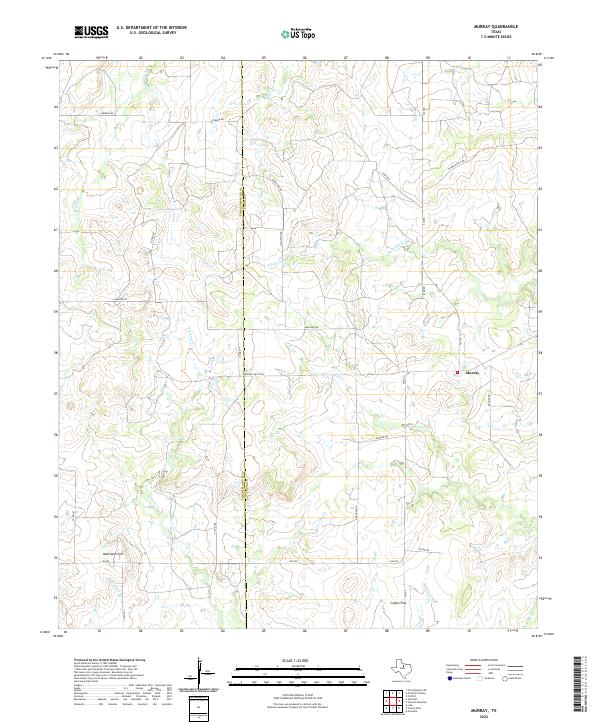 2022 Murray2022 Print · USGSThe ranch lands of the Young and Throckmorton county line are documented here in the early twenty-first century. Researchers can trace the rural landscape around Murray and Coffee Flat or locate family landmarks like Matthews Hill and Huffstuttle Cr.
 - 2022 Map of Proffitt, 2022 Print
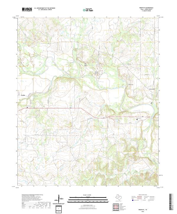 2022 Proffitt2022 Print · USGSNorthern Young County in the 2020s remains a landscape of ranch roads and river bends. Family historians can trace local burial sites like Woolfolk Cem and Proffitt Cem or follow the path of Whiskey Cr to the Brazos River.
 - 2022 Map of Bryson, 2022 Print
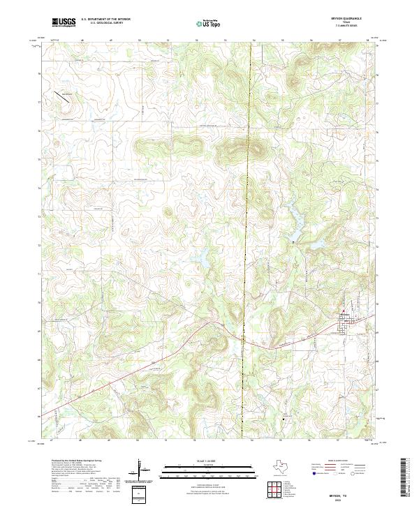 2022 Bryson2022 Print · USGSThe North Texas town of Bryson and the surrounding ranch land come into focus in this contemporary survey of the Young and Jack county line. Researchers can trace rural landmarks from the Rock Creek Cem to the headwaters of West Rock Creek and Dry Cr.
 - 2022 Map of Darnell Branch, 2022 Print
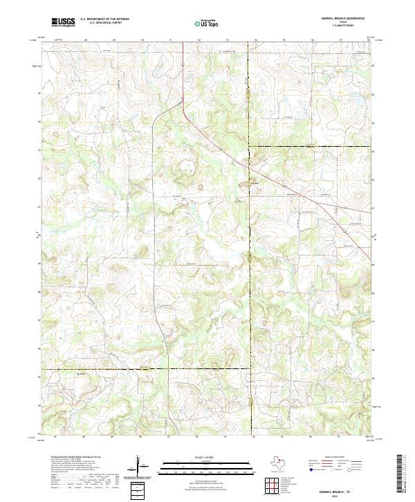 2022 Darnell Branch2022 Print · USGSThe North Texas ranchlands at the intersection of four counties are captured here in the early twenty-first century. Genealogists and local historians can trace family-named routes and geographic landmarks like Gap Mtn, Mx Ranch Rd, and Antelope Field Lake.
 - 2022 Map of Padgett, 2022 Print
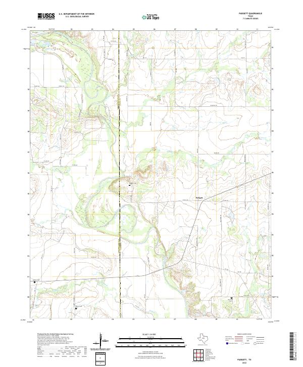 2022 Padgett2022 Print · USGSTexas ranching country along the Young and Throckmorton county line is captured here in recent years, centered on the Brazos River. Researchers can locate several quiet burial grounds including Elbert Cem and Reynolds Cem near the settlement of Padgett.
 - 2022 Map of Lake Olney, 2022 Print
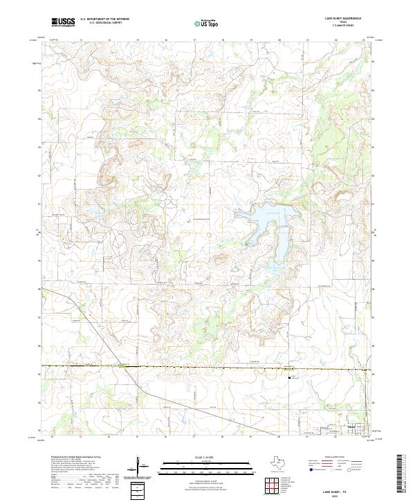 2022 Lake Olney2022 Print · USGSThe borderlands of Archer and Young counties come into focus in the 2020s, showing the modern layout of ranch roads and water resources. Local historians can trace family-named landmarks like Furr Lake or locate the Saint Luke Cem near the town of Olney.
 - 2022 Map of Newcastle, 2022 Print
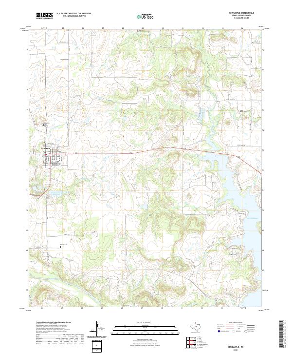 2022 Newcastle2022 Print · USGSNewcastle and the surrounding Young County ranch lands are documented here in the early twenty-first century as the landscape transitions toward the Brazos River. Researchers can locate several historical burial grounds, including Indian Mound Cem and Belknap Cem, or trace the banks of Whiskey Creek Reservoir.
 - 2022 Map of Lake Eddleman, 2022 Print
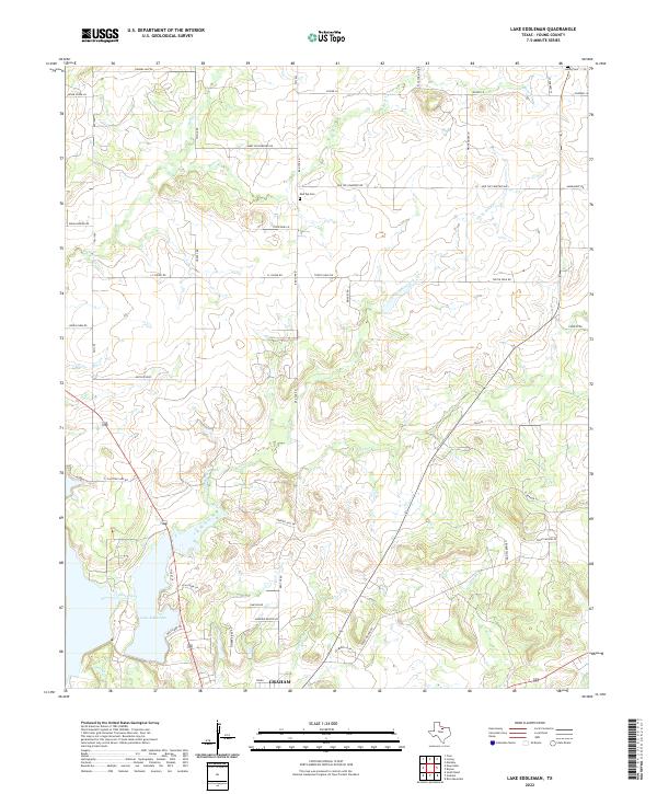 2022 Lake Eddleman2022 Print · USGSYoung County in the early 2020s shows the growth of northern Graham near the shores of Lake Eddleman. Researchers can trace local burial sites like Red Top Cem, explore the network of family-named roads, and follow Flint Creek through the rural landscape.
 - 2022 Map of Ivan North, 2022 Print
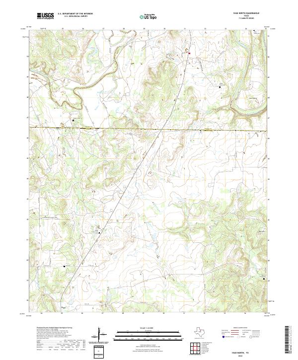 2022 Ivan North2022 Print · USGSIn the ranchlands of North Texas, the confluence of the Brazos River and its Clear Fork defines the local geography. Researchers can trace family history through numerous rural burial sites including Tonk Valley Cem, South Prairie Cem, and Hill Cem.
 - 2022 Map of Crystal Falls, 2022 Print
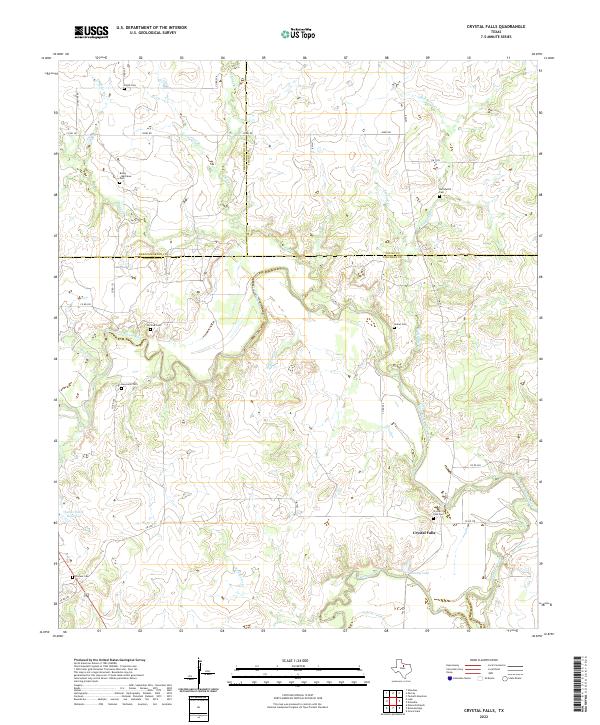 2022 Crystal Falls2022 Print · USGSStephens County ranching country and the Clear Fork Brazos River come to life in this recent survey. Researchers can trace family history at sites like Crystal Falls, Pioneer Cem, and Huffstuttle Cem along the winding creek beds.
 - 2022 Map of Eliasville, 2022 Print
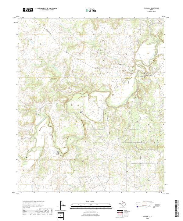 2022 Eliasville2022 Print · USGSThe Clear Fork Brazos River country on the Young and Stephens County line is documented here in the early twenty-first century. Genealogists and local historians can trace legacy burial sites like Eliasville Cem and Hill Cem near the riverbanks.
 - 2022 Map of Cove Creek, 2022 Print
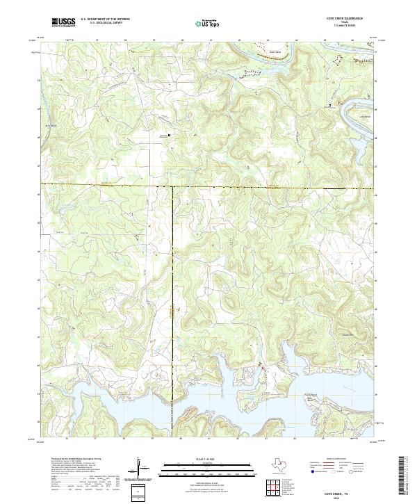 2022 Cove Creek2022 Print · USGSThe Brazos River meanders through the intersection of Young, Stephens, and Palo Pinto counties in the early 2020s. Local researchers can locate Mountain Home Cem, trace the trails of Possum Kingdom State Park, and explore the shoreline near Sandy Beach.
 - 2022 Map of Costello Island, 2022 Print
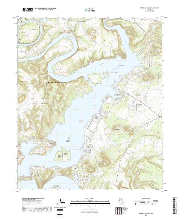 2022 Costello Island2022 Print · USGSThe Brazos River meanders through Palo Pinto and Young counties in this 2020s study of a landscape reshaped by the Possum Kingdom reservoir. Researchers can trace landforms like McAdams Peak alongside modern infrastructure such as Cosmo Field and McAdams Cem.
End of results
Showing maps 1-25 of 25
Top cities of Young County
Frequently asked questions
- What are the different types of historical maps available for Young County?
- What is the oldest map of Young County?
- Where can I purchase historical maps of Young County for my home or office?
- Where can I download high-res historical maps of Young County?
- Are there historical topographic maps available for Young County?
- Is there historical aerial imagery available for Young County?
- Where are historical maps of Young County sourced from?