1970s Maps of Box Elder County, Utah
Explore 30 historic maps of Box Elder County from the 1970s. These maps offer a rare glimpse into what life looked like during the 1970s — showing old roads, neighborhoods, homes, and landmarks that have changed or disappeared over time.
Whether you're researching your family's past, planning a metal detecting trip, or studying how Box Elder County's landscape evolved across the 1970s, these high-resolution maps are a powerful tool for exploring the history of this region.
- Focus on a specific era: All maps on this page are from the 1970s, giving you a focused view of this time period.
- See what’s changed: Compare century-old streets, trails, and buildings to today's modern landscape using overlays and satellite layers.
- Research with precision: Use these maps for genealogy, historical research, land use analysis, or educational projects.
- View, download, or print: Maps are fully viewable online in high resolution, and can be downloaded or printed for your own records.
Start exploring Box Elder County's history through authentic maps from the 1970s. This is your window into the past.
Box Elder County, UT maps
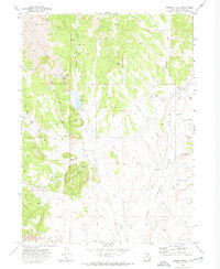
(30)- 1970 Map of Crater Island, 1972 Print
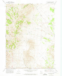
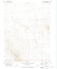
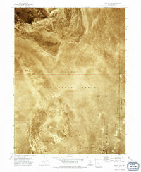
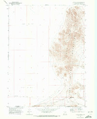 1970 Crater Island1972 Print · USGSThe Great Salt Lake Desert in the early 1970s reveals a harsh landscape of salt flats and isolated peaks. Historians can trace the legendary Donner-Reed Trail as it crosses through Donner-Reed Pass near the Crater Island Mountains.
 - 1971 Map of Prohibition Spring, 1974 Print
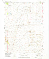 1971 Prohibition Spring1974 Print · USGSNorthwestern Utah's high desert was home to a vital transcontinental rail stop in the late nineteenth century. You can trace the Old Grade of the Central Pacific railroad through the desert to find Terrace (Site) and the Terrace Cem.
 - 1971 Map of Emigrant Pass, 1974 Print
 1971 Emigrant Pass1974 Print · USGSBox Elder County's high desert terrain is captured here in the early seventies, showing the vital network of springs and trails between the mountains. Researchers can trace the path through Emigrant Pass or locate remote sites like Devils Playground and the Corral at Puckett Spring.
 - 1971 Map of Toms Cabin Spring, 1974 Print
 1971 Toms Cabin Spring1974 Print · USGSBox Elder County at the start of the 1970s reveals a working landscape of desert rangeland and mountain springs. Trace the livestock and mining history of the valley through features like Toms Cabin Spring, the isolated Corral, and a lonely Prospect.2 unique versions available
 - 1971 Map of Potters Creek, 1974 Print
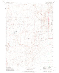
 1971 Potters Creek1974 Print · USGSThe high Grouse Creek Mountains of northwestern Utah appear here in the early 1970s, detailed with the vital water sources and trails of the era. Researchers can trace the primitive routes through Ingham Pass or locate remote landmarks like the Corral and Sickle Spring.
 - 1971 Map of Red Dome, 1974 Print
 1971 Red Dome1974 Print · USGSThe high desert of Box Elder County is captured here in the early 1970s, featuring the remnant path of the first transcontinental rail line. Trace the Old Central Pacific Grade as it passes landmarks like Red Dome and the Pugsley Reservoir.
 - 1971 Map of Matlin, 1974 Print
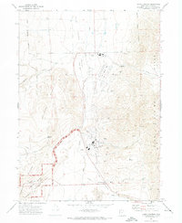
 1971 Matlin1974 Print · USGSBox Elder County in the early 1970s reveals a landscape shaped by the transcontinental rail legacy and high-desert ranching. Genealogists and rail historians can trace the Central Pacific line through the Matlin settlement and identify landmarks like Horse Mtn Reservoir.
 - 1971 Map of Runswick Wash, 1974 Print
 1971 Runswick Wash1974 Print · USGSBox Elder County, Utah, is shown in the early seventies as a remote desert landscape dominated by high-altitude drainage systems and isolation. Researchers can trace the path of Runswick Wash toward Cliff Reservoir or locate landmarks like Airplane Hill and the Matlin Mts.2 unique versions available
 - 1971 Map of Grouse Creek, 1974 Print
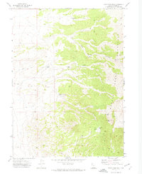
 1971 Grouse Creek1974 Print · USGSBox Elder County in the early seventies reveals a high-desert ranching landscape shaped by water and isolation. Genealogists and historians can trace family-named sites like Paskett Canyon and Bill Shaw Canyon or locate the local cemetery and Grouse Creek settlement.2 unique versions available
 - 1971 Map of Miners Canyon, 1974 Print
 1971 Miners Canyon1974 Print · USGSThe Nevada and Utah borderlands at the start of the 1970s reveal a landscape of high desert springs and mountain trails. Researchers can trace the path of the Aqueduct through the foothills or locate remote landmarks like Window Rock, Miners Spring, and Halls Meadow.2 unique versions available
 - 1971 Map of Rocky Pass Peak, 1974 Print
 1971 Rocky Pass Peak1974 Print · USGSThe high desert of Box Elder County is documented here in the early 1970s, showing a landscape defined by isolated water sources and high-altitude passes. Researchers can trace historic access routes through Rocky Pass or locate remote sites like Coal Mine Spring and the Government Well (Dry).
 - 1971 Map of Warm Spring Hills, 1974 Print
 1971 Warm Spring Hills1974 Print · USGSBox Elder County ranching country is mapped here in the early seventies, showing a landscape defined by desert springs and seasonal creeks. Researchers can trace the local water network from Warm Spring to Seep Spring and locate landmarks like the Muddy Ranch.2 unique versions available
 - 1971 Map of Russian Knoll, 1974 Print
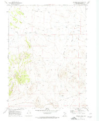
 1971 Russian Knoll1974 Print · USGSThe high desert of Box Elder County is shown here in the early seventies, capturing a landscape of remote ranching and rugged terrain. Researchers can locate specific historical markers like Graves and Ruins, or trace the vital water sources at Board Ranch and Trail Pass Reservoir.2 unique versions available
 - 1971 Map of Ingham Canyon, 1975 Print
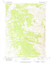 1971 Ingham Canyon1975 Print · USGSThe Grouse Mountains of Box Elder County are documented here in the early 1970s, showing a landscape defined by high peaks and vital springs. Researchers can trace land use through remote Mines and numerous water sources like Paskett Spring and North Bedke Spring.
 - 1972 Map of Thatcher Mountain, 1973 Print
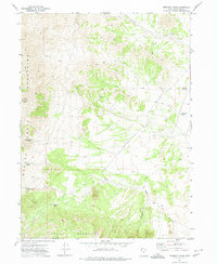
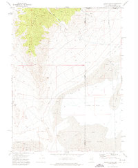
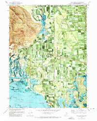
 1972 Thatcher Mountain1973 Print · USGSBox Elder County at the start of the 1970s shows a landscape of mountain peaks and canal-fed farmland. Researchers can trace family history at Valleyview Cem and Penrose Cem or locate the Old Railroad Grade near Bothwell.
 - 1972 Map of Lampo Junction, 1973 Print
 1972 Lampo Junction1973 Print · USGSNorthern Utah in the early seventies shows a landscape shaped by transcontinental rail history and modern industry. Trace the Golden Spike National Historic Site and the Old Railroad Grade near Lampo Junction.
 - 1972 Map of Bear River City, 1973 Print
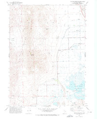
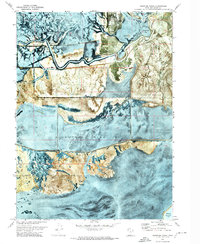
 1972 Bear River City1973 Print · USGSBox Elder County at the edge of the Great Salt Lake is shown in the early seventies, detailing the marshy delta and farm systems. Genealogists and historians can locate the Cemetery near Corinne, trace the Union Pacific line, and find landmarks like Stinking Springs.2 unique versions available
 - 1972 Map of Willard Spur, 1973 Print
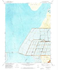 1972 Willard Spur1973 Print · USGSThe northern reaches of the Great Salt Lake are defined by industrial salt production and military testing in the early seventies. Trace the expansive Salt Evaporators and the Little Mountain Air Force Training Annex.
 - 1972 Map of Plain City SW, 1974 Print
 1972 Plain City SW1974 Print · USGSThe marshy fringes of the Great Salt Lake come into focus in the early seventies, where irrigation canals and salt flats meet growing industrial and military sites. Trace local family roots at West Warren or find records at the Warren Cem near the winding Weber River.
 - 1972 Map of Mouth of Bear River, 1974 Print
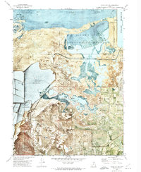
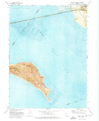
 1972 Mouth of Bear River1974 Print · USGSThe Bear River delta meets the Great Salt Lake in the early seventies, revealing a complex network of wetlands and conservation infrastructure. Trace the early layout of the Bear River Migratory Bird Refuge, find the Duckville Gun Club, and locate the Landing Strip among the marshes.
 - 1972 Map of Fremont Island, 1974 Print
 1972 Fremont Island1974 Print · USGSThe eastern reaches of the Great Salt Lake are captured here in the early seventies as industrial salt works and military training grounds bordered the water. Researchers can locate the Lucin Cutoff rail line and isolated island features like Graves and Ruins.
 - 1972 Map of Whistler Canal, 1974 Print
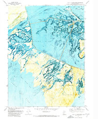
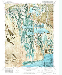
 1972 Whistler Canal1974 Print · USGSThe Bear River delta was a hub of complex water engineering and conservation efforts in the early 1970s. Trace the intricate irrigation networks of the Whistler Canal and the grounds of the Bear River Duck Club and Chesapeake Duck Club.
 - 1972 Map of Public Shooting Grounds, 1974 Print
 1972 Public Shooting Grounds1974 Print · USGSThe Bear River marshes of northern Utah are captured here in the early seventies, showing a landscape defined by waterfowl management and irrigation. Trace the Old Railroad Grade and explore the complex water systems of Hull Canal and Widgeon Lake.
 - 1973 Map of Grassy Mountains, 1977 Print
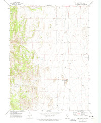
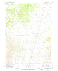
 1973 Grassy Mountains1977 Print · USGSTooele and Box Elder counties meet in the high desert during the early 1970s, documented through precise aerial photography. Trace the remote landscape of the Grassy Mountains to find localized landmarks like Byram Well and Finger Ridge.
 - 1973 Map of Knolls 2 NE, 1977 Print
 1973 Knolls 2 NE1977 Print · USGSThe Great Salt Lake Desert in the early seventies reveals a landscape of military range lands and vast salt crusts. Trace the southern edge of the Newfoundland Mountains and the sprawling Hill Air Force Range across the Mud Flat.2 unique versions available
Showing maps 1-25 of 30
Top cities of Box Elder County
- Brigham City historical maps
- Tremonton historical maps
- Perry historical maps
- Garland historical maps
- Willard historical maps
- Honeyville historical maps
See more
Frequently asked questions
- What are the different types of historical maps available for Box Elder County?
- What is the oldest map of Box Elder County?
- Where can I purchase historical maps of Box Elder County for my home or office?
- Where can I download high-res historical maps of Box Elder County?
- Are there historical topographic maps available for Box Elder County?
- Is there historical aerial imagery available for Box Elder County?
- Where are historical maps of Box Elder County sourced from?