1990s Maps of Box Elder County, Utah
Explore 104 historic maps of Box Elder County from the 1990s. These maps offer a rare glimpse into what life looked like during the 1990s — showing old roads, neighborhoods, homes, and landmarks that have changed or disappeared over time.
Whether you're researching your family's past, planning a metal detecting trip, or studying how Box Elder County's landscape evolved across the 1990s, these high-resolution maps are a powerful tool for exploring the history of this region.
- Focus on a specific era: All maps on this page are from the 1990s, giving you a focused view of this time period.
- See what’s changed: Compare century-old streets, trails, and buildings to today's modern landscape using overlays and satellite layers.
- Research with precision: Use these maps for genealogy, historical research, land use analysis, or educational projects.
- View, download, or print: Maps are fully viewable online in high resolution, and can be downloaded or printed for your own records.
Start exploring Box Elder County's history through authentic maps from the 1990s. This is your window into the past.
Box Elder County, UT maps
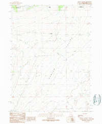
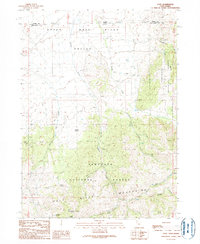
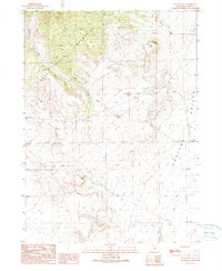
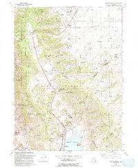
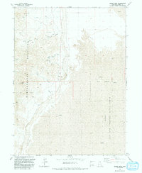
(104)- 1990 Map of Dennis Hill
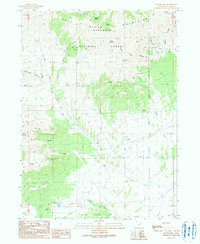 1990 Dennis Hill1990 Print · USGSBox Elder County at the opening of the 1990s was a landscape defined by high mountain ranges and isolated mineral workings. Researchers can trace the development of the Century Mine and find remote landmarks like Dennis Hill and the Warm Spring Reservoir.
 - 1990 Map of Buck Hollow
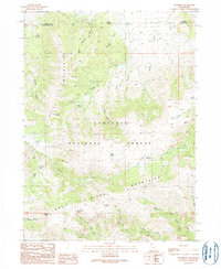
 1990 Buck Hollow1990 Print · USGSThe high borderlands of Utah and Idaho are captured here in the late twentieth century, showing a remote landscape of mountain ranges and desert springs. Genealogists and historians can trace the paths through Buck Hollow and find named landmarks like Sparks Spring or the Quarry.
 - 1990 Map of Dry Canyon Mountain
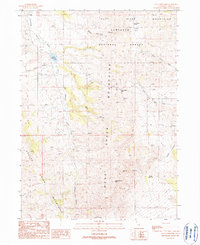
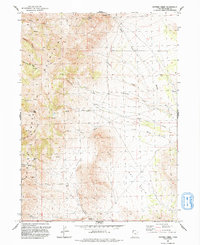
 1990 Dry Canyon Mountain1990 Print · USGSThe high peaks of Box Elder County are documented here in the early nineties, showing a landscape defined by mountain ridges and seasonal water. Researchers can trace landforms like Beatty Mountain, find the waters of Beatty Springs, and locate Devils Gate.
 - 1990 Map of Rosette
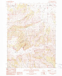
 1990 Rosette1990 Print · USGSNorthwestern Utah’s high desert and mountain slopes are captured here in the late twentieth century. Genealogists and local historians can trace the remote settlement of Rosette and ranching landmarks like Docken Corral and the Dipping Vat.
 - 1990 Map of Curlew Junction
 1990 Curlew Junction1990 Print · USGSThe Utah-Idaho borderlands come into focus in the early 1990s, where the high-desert basin meets the forest edge. Local historians can trace the path of the Emigrant Trail through Curlew Valley and locate water landmarks like Pilot Spring.
 - 1990 Map of Cotton Thomas Basin
 1990 Cotton Thomas Basin1990 Print · USGSThe high borderlands of Idaho and Utah are captured in the late twentieth century, showing a landscape defined by old mining works and historic transit corridors. Researchers can locate the Emigrant Trail and trace the proximity of the Dolly Clark Mine and Skoro Mine.
 - 1990 Map of Pole Creek
 1990 Pole Creek1990 Print · USGSThe high desert border of Utah and Idaho is documented here in the early nineties, centered on the Goose Creek Mountains. Trace the historical path of the Emigrant Trail or locate the site of the Peg Leg Mine near Birch Creek.
 - 1990 Map of Kimbell Creek
 1990 Kimbell Creek1990 Print · USGSBox Elder County's high-desert terrain is captured here in the late twentieth century, showing the intersection of ranching trails and mountain drainages. Researchers can trace the path of Kimbell Creek or locate old Quarries tucked into the slopes of the Grouse Creek Mountains.
 - 1990 Map of Yost
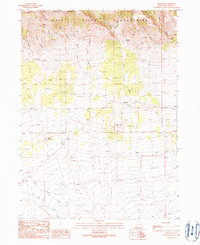
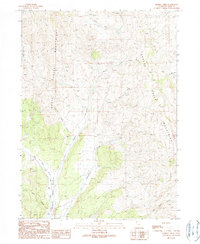
 1990 Yost1990 Print · USGSHigh-country ranching and mining near the Idaho border come into focus in the 1990s. Trace old roads and family-named landmarks like Yost, Callahan Spring, and several adits nestled in the Raft River Mountains.
 - 1990 Map of Park Valley
 1990 Park Valley1990 Print · USGSThe high slopes of the Raft River Mountains meet the desert floor in this 1990s Utah survey. Researchers can trace the layout of Park Valley and locate isolated landmarks like the local Cem, the Quarry, and the winding Left Hand Fork Dunn Canyon.
 - 1990 Map of Kelton Pass
 1990 Kelton Pass1990 Print · USGSThe high desert borderlands of Box Elder County are captured here in the early nineties, tracing the historic Emigrant Trail through Kelton Pass. Genealogists and researchers can locate the Hardup (Site) and Duffy among essential water sources like Emigrant Spring.
 - 1990 Map of Kelton Pass SE
 1990 Kelton Pass SE1990 Print · USGSCurlew Valley and the rugged northern Utah desert appear as they were in the early 1980s. Researchers can trace the elevation changes and landforms of the Wildcat Hills or locate specific water sources like the isolated Well in the valley basin.
 - 1990 Map of Black Butte
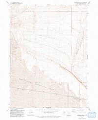
 1990 Black Butte1990 Print · USGSThe eastern slopes of the Raft River Mountains meet the Curlew Valley in this 1990s-era study. Researchers can trace the water and utility network through local wells, an aqueduct, and the rugged 4WD tracks surrounding Black Butte.
 - 1990 Map of Standrod
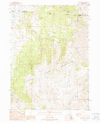
 1990 Standrod1990 Print · USGSCrossing the Utah-Idaho border in the 1980s, this area reveals a high-country landscape of ranching and forestry. Researchers can trace resource history through an Open Pit Mine, the Standrod settlement, and numerous water sources like Fisher Lake.
 - 1990 Map of Lynn Reservoir
 1990 Lynn Reservoir1990 Print · USGSBox Elder County was a landscape of high-altitude ranching and forest management in the early 1990s. Genealogists and historians can trace the small settlement of Lynn, locate the local Cem, and follow early access routes like Junction Road near Lynn Reservoir.
 - 1990 Map of Rosevere Point
 1990 Rosevere Point1990 Print · USGSThe Sawtooth Mountains and the historic Emigrant Trail define this high-country landscape on the Idaho-Utah border in the 1990s. Trace the path of early travelers past Clear Creek Cemetery and the remote Clear Creek Recreation Site.
 - 1991 Map of Mount Pisgah
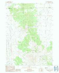
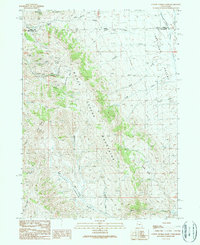
 1991 Mount Pisgah1991 Print · USGSThe eastern Cache Valley and the soaring Wellsville Mountains are captured here in the early 1990s as the region balanced its agricultural roots with mountain wilderness. Genealogists and hikers can trace old landmarks like the Mount Sterling Cem, the remote Gold Mine, and the waters of the Mantua Reservoir.
 - 1991 Map of Lucin 4 SE
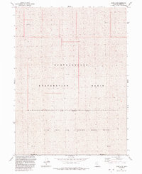 1991 Lucin 4 SE1991 Print · USGSThe Great Salt Lake Desert's expanse is documented in the early nineties, where salt flats meet restricted military zones. Trace the limits of the Utah Test and Training Range North as it crosses the Newfoundland Evaporation Basin.2 unique versions available
 - 1991 Map of Potters Creek
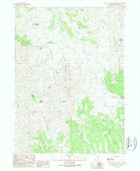
 1991 Potters Creek1991 Print · USGSBox Elder County at the start of the 1990s reveals a landscape of high-altitude pastures and remote mineral prospects. Trace the 4WD routes past Stoke Spring Corral, through Ingham Pass, and along the drainages of Potters Creek.
 - 1991 Map of Dolphin Island East
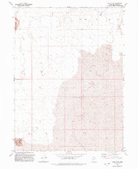
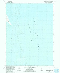 1991 Dolphin Island East1991 Print · USGSGunnison Bay and the northwestern reaches of the Great Salt Lake are captured here in the early nineties, revealing a landscape shaped by water and salt. Researchers can trace the shoreline of Dolphin Island and the vast expanse of Gunnison Bay in this remote corner of Box Elder County.
 - 1991 Map of Gunnison Island NE
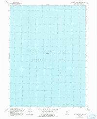 1991 Gunnison Island NE1991 Print · USGSGunnison Bay and the Great Salt Lake are captured here as they appeared in the early nineties, following several years of aerial revision. Researchers can trace the water boundaries of Gunnison Bay and the open expanse of the Great Salt Lake at Elevation 4200.
 - 1991 Map of Rozel Point SW
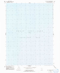 1991 Rozel Point SW1991 Print · USGSThe northern reaches of the Great Salt Lake are captured here in the early nineties, focused on the open water of Gunnison Bay. Researchers can trace the vast aquatic expanse and hydrologic data recorded at Elevation 4200.
 - 1991 Map of Lucin 4 NW
 1991 Lucin 4 NW1991 Print · USGSBox Elder County at the start of the nineties reveals a remote Great Salt Lake Desert landscape shaped by geology and water. Local history researchers can locate industrial Drill Hole sites and natural landmarks like Silver Island Mts, Crater Island, and Miry Wash.2 unique versions available
 - 1991 Map of Meadow Spring
 1991 Meadow Spring1991 Print · USGSBox Elder County at the start of the nineties reveals an isolated landscape defined by Great Basin hydrology and rail history. Trace the path of the Lucin Cutoff across the Newfoundland Evaporation Basin or locate Meadow Spring at the foot of the Hogup Mountains.
 - 1991 Map of Desert Peak
 1991 Desert Peak1991 Print · USGSThe Newfoundland Mountains stand in stark relief against the salt flats in the early 1990s. Trace old routes through Sleigh Canyon or locate remote water sources and mining activity near Desert Peak.
Showing maps 1-25 of 104
Top cities of Box Elder County
- Brigham City historical maps
- Tremonton historical maps
- Perry historical maps
- Garland historical maps
- Willard historical maps
- Honeyville historical maps
See more
Frequently asked questions
- What are the different types of historical maps available for Box Elder County?
- What is the oldest map of Box Elder County?
- Where can I purchase historical maps of Box Elder County for my home or office?
- Where can I download high-res historical maps of Box Elder County?
- Are there historical topographic maps available for Box Elder County?
- Is there historical aerial imagery available for Box Elder County?
- Where are historical maps of Box Elder County sourced from?