2010s Maps of Box Elder County, Utah
Explore 438 historic maps of Box Elder County from the 2010s. These maps offer a rare glimpse into what life looked like during the 2010s — showing old roads, neighborhoods, homes, and landmarks that have changed or disappeared over time.
Whether you're researching your family's past, planning a metal detecting trip, or studying how Box Elder County's landscape evolved across the 2010s, these high-resolution maps are a powerful tool for exploring the history of this region.
- Focus on a specific era: All maps on this page are from the 2010s, giving you a focused view of this time period.
- See what’s changed: Compare century-old streets, trails, and buildings to today's modern landscape using overlays and satellite layers.
- Research with precision: Use these maps for genealogy, historical research, land use analysis, or educational projects.
- View, download, or print: Maps are fully viewable online in high resolution, and can be downloaded or printed for your own records.
Start exploring Box Elder County's history through authentic maps from the 2010s. This is your window into the past.
Box Elder County, UT maps
(438)- 2010 Map of Grassy Mountains, 2010 Print
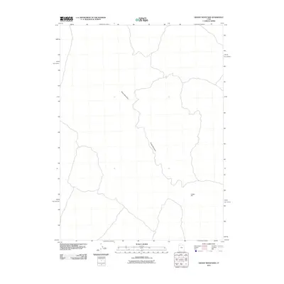 2010 Grassy Mountains2010 Print · USGSTooele County’s high desert reaches are captured here in the early twenty-first century, documenting a landscape of sparse trails and isolation. Researchers can trace the ridgelines of the Grassy Mountains and identify the singular landmark of Cobble Hill.
 - 2010 Map of Finger Ridge, 2010 Print
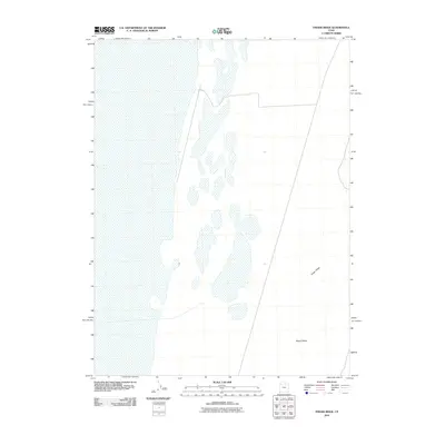 2010 Finger Ridge2010 Print · USGSTooele County's remote desert floor is captured here during the first decade of the millennium, showing a landscape shaped by ancient geological forces. Researchers can trace the precise contours of Finger Ridge and the alluvial patterns within Ripple Valley.
 - 2011 Map of South of Keller Well, 2011 Print
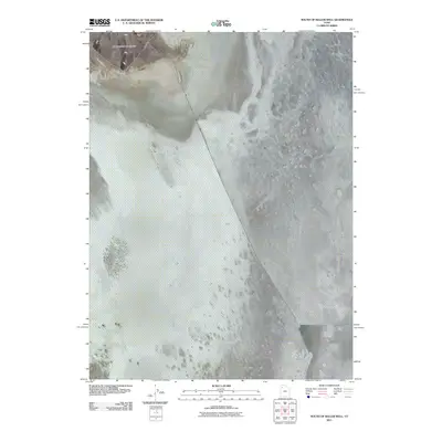 2011 South of Keller Well2011 Print · USGSThe northern salt flats of Tooele County are captured here in the early twenty-first century, featuring the stark geometry of the desert floor. Researchers can trace the massive Newfoundland Dike as it cuts toward the Newfoundland Mountains.
 - 2011 Map of Round Mountain SW, 2011 Print
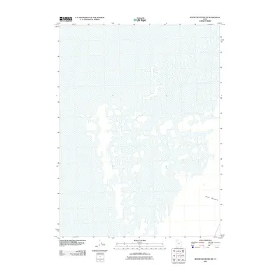 2011 Round Mountain SW2011 Print · USGSThe Great Salt Lake desert's vast mudflats and basins are captured here in the early twenty-first century. Researchers can trace the transition from the salt flats to the elevated terrain of the Grassy Mountains in this remote corner of Box Elder County.
 - 2011 Map of Cotton Thomas Basin, 2011 Print
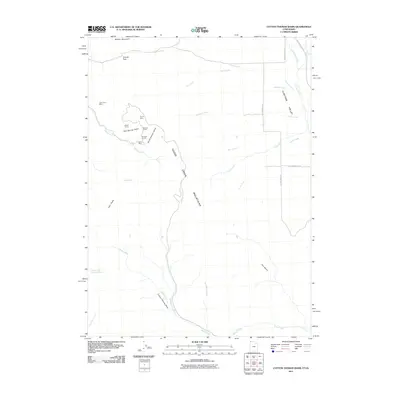 2011 Cotton Thomas Basin2011 Print · USGSThe high borderlands of Box Elder County are documented in the early 21st century, showing the intersection of Idaho and Utah geography. Mineral explorers can trace the locations of the Vipont Mine, Dolly Clark Mine, and Sullivan Tunnel within the Goose Creek Mountains.
 - 2011 Map of Big Pass, 2011 Print
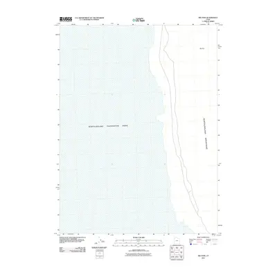 2011 Big Pass2011 Print · USGSIn the arid expanses of Tooele County during the early 2000s, this area shows the massive scale of industrial water management. Researchers can trace the shoreline of the Newfoundland Evaporation Basin and its proximity to Big Pass in the Newfoundland Mountains.
 - 2011 Map of Runswick Wash, 2011 Print
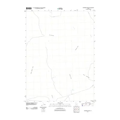 2011 Runswick Wash2011 Print · USGSBox Elder County at the start of the 2010s shows a high-desert landscape shaped by seasonal hydrology and isolated ranch roads. Researchers can trace the path of Runswick Wash toward the Cliff Reservoir or locate terrain markers like Airplane Hill and Coyote Hill.
 - 2011 Map of Crocodile Mountain NE, 2011 Print
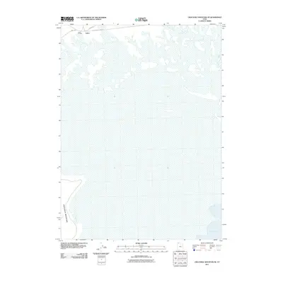 2011 Crocodile Mountain NE2011 Print · USGSThe northern edge of the Great Salt Lake comes into focus in this recent survey of the Utah desert. Genealogists and rail historians can trace the legacy of the old transcontinental route through Kelton, Kelton Cemetery, and the Old Railroad Grade Rd.
 - 2011 Map of Prohibition Spring, 2011 Print
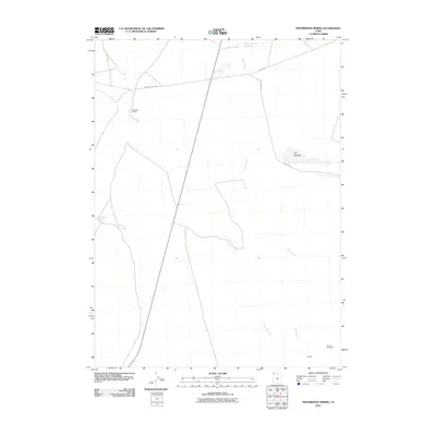 2011 Prohibition Spring2011 Print · USGSBox Elder County at the turn of the millennium remains a vast landscape of historic trails and remote ranching outposts. Local historians can trace the Immigrant Trail Rd and locate landmarks such as Rosebud Ranch and the Terrace Cemetery.
 - 2011 Map of Sheep Mountain, 2011 Print
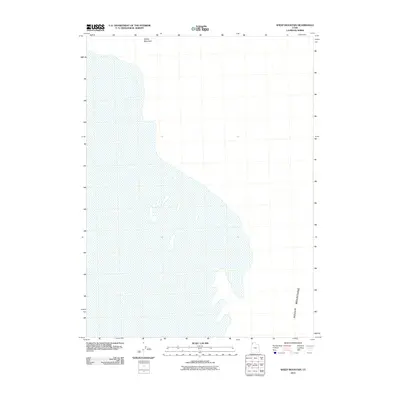 2011 Sheep Mountain2011 Print · USGSThis part of Box Elder County is defined by its isolation and high-desert terrain in the early twenty-first century. Researchers can trace the elevation changes and landforms across Sheep Mountain and the southern Hogup Mountains.
 - 2011 Map of Pigeon Mountain, 2011 Print
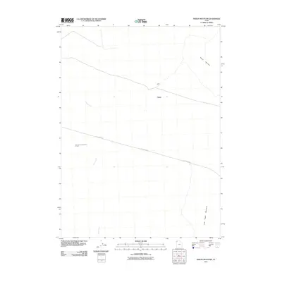 2011 Pigeon Mountain2011 Print · USGSBox Elder County at the turn of the decade remains a landscape of scientific isolation and high-desert terrain. Researchers can locate the specialized Astronomical Observation Tunnels and trace local tracks near Pigeon and the Lucin Pit.
 - 2011 Map of Matlin, 2011 Print
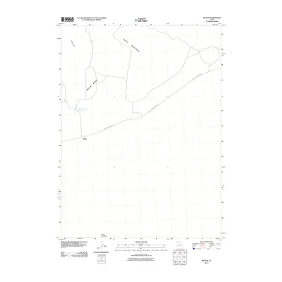 2011 Matlin2011 Print · USGSThe high desert of Box Elder County is shown in the early twenty-first century, centered on the historic transit point of Matlin. Researchers can trace the path of the Old Railroad Grade Rd or locate Horse Mountain Reservoir and Sheep Mountain.
 - 2011 Map of Hogup Ridge South, 2011 Print
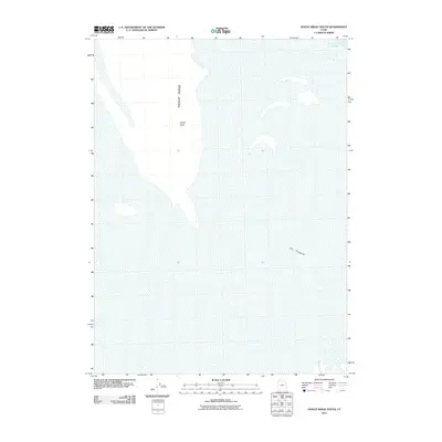 2011 Hogup Ridge South2011 Print · USGSBox Elder County at the turn of the millennium reveals a desolate landscape where the Great Salt Lake meets the desert floor. Trace the elevation of Hogup Ridge as it drops into the Fremont Strait and the flat expanse of The Threshold.
 - 2011 Map of Terrace Mountain West, 2011 Print
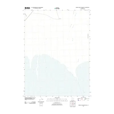 2011 Terrace Mountain West2011 Print · USGSThe Great Salt Lake Desert fringe in the early twenty-first century reveals a landscape shaped by seasonal hydrology and desert peaks. Researchers can trace the drainage patterns of Muddy Creek and Rosebud Creek as they descend toward the flats near Terrace Mountain.
 - 2011 Map of Russian Knoll, 2011 Print
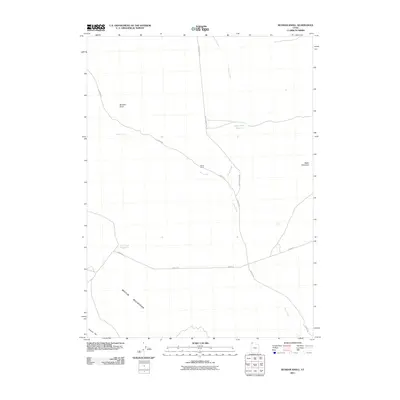 2011 Russian Knoll2011 Print · USGSBox Elder County at the start of the 2010s reveals a high-desert landscape managed for ranching and water. Researchers can trace rural infrastructure and desert landmarks like Board Ranch, Baker Hills Reservoir, and the distinctive heights of Russian Knoll.
 - 2011 Map of Crater Island SW, 2011 Print
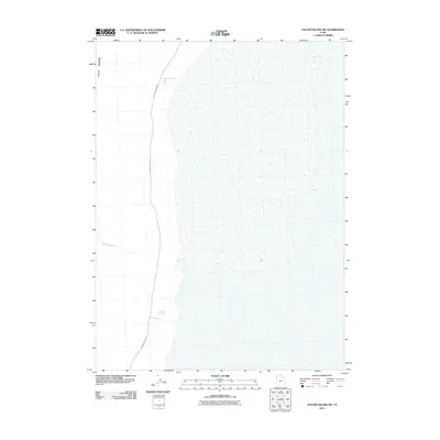 2011 Crater Island SW2011 Print · USGSThe eastern edges of the Pilot Range meet the desert floor in this 2011 survey of Tooele County. Historians and travelers can trace the vital water sources along the Pilot Mountain Rd, including Donner Spring and South Patterson Spring.
 - 2011 Map of Meadow Spring, 2011 Print
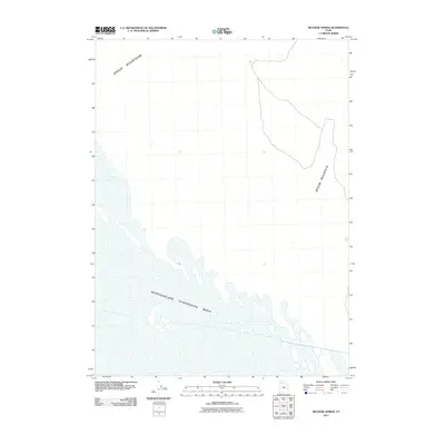 2011 Meadow Spring2011 Print · USGSThe salt flats and high desert of Box Elder County are captured here in the early 2000s, showing a landscape defined by extreme aridity. Researchers can trace the elevation changes from Hogup Mountains down to the Newfoundland Evaporation Basin.
 - 2011 Map of Round Mountain, 2011 Print
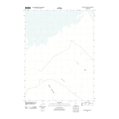 2011 Round Mountain2011 Print · USGSBox Elder County's desert floor and mountain fringes are captured here in the early twenty-first century. Geologists and local explorers can trace the elevations of Round Mountain and Tank Ridge or the spans of German Valley and the Grassy Mountains.
 - 2011 Map of Peplin Flats, 2011 Print
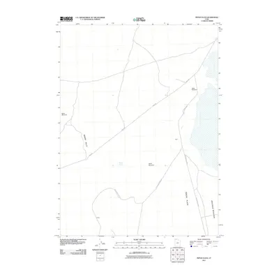 2011 Peplin Flats2011 Print · USGSBox Elder County at the start of the twenty-first century reveals a quiet desert landscape shaped by early transportation corridors. Genealogists and historians can trace the remnants of the Old Railroad Grade Rd and the former outposts of Peplin and Ombey.
 - 2011 Map of Groome, 2011 Print
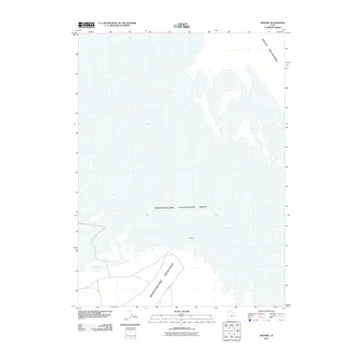 2011 Groome2011 Print · USGSIn the Great Salt Lake Desert during the early twenty-first century, this area shows a landscape defined by massive water management and isolated peaks. Researchers can locate the settlement of Groome and trace the vast perimeter of the Newfoundland Evaporation Basin.
 - 2011 Map of Warm Spring Hills, 2011 Print
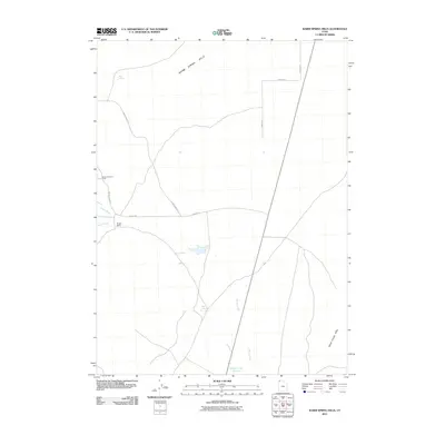 2011 Warm Spring Hills2011 Print · USGSBox Elder County at the start of the 2010s shows a landscape defined by traditional ranching and desert water management. Researchers can trace land use through the James Brothers Ranch, the namesake Muddy Ranch Rd, and the isolated Rhus Spring.
 - 2011 Map of Kimbell Creek, 2011 Print
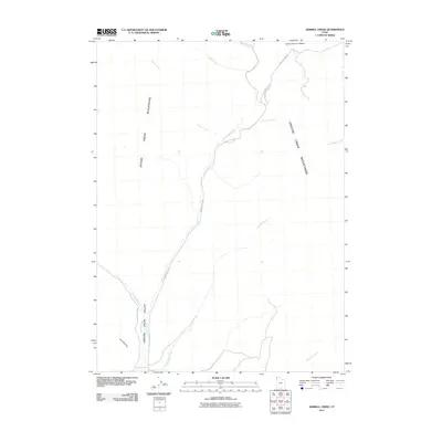 2011 Kimbell Creek2011 Print · USGSThe high basins and mountain slopes of Box Elder County are documented here in the early twenty-first century. Researchers can trace the drainages and primitive routes that define this territory, from Cotton Thomas Basin to family-named landmarks like Ed Richie Creek and Joe Dahar Creek.
 - 2011 Map of Lemay Island, 2011 Print
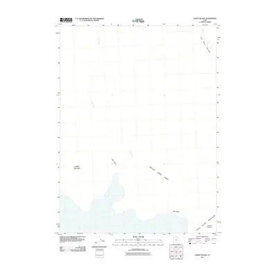 2011 Lemay Island2011 Print · USGSNorthwestern Utah's high desert reveals its complex drainage and isolated peaks in this early twenty-first-century survey. Trace the seasonal path of Grouse Creek into the Grouse Creek Sinks or locate the foot of the Little Pigeon Mountains.
 - 2011 Map of Crater Island, 2011 Print
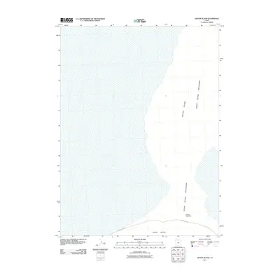 2011 Crater Island2011 Print · USGSThe Great Salt Lake Desert and the Silver Island Mountains appear here in the early twenty-first century. Modern explorers and historians can trace the remote route of Silver Island Rd and locate the topographic gap at Donner- Reed Pass.
 - 2011 Map of Hogup Ridge North, 2011 Print
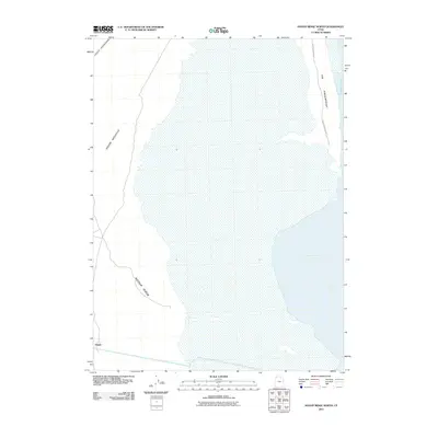 2011 Hogup Ridge North2011 Print · USGSThe northern Great Salt Lake basin reveals its stark geography in this early 21st-century survey of Box Elder County. Collectors and researchers can trace the remote route of Hogup Mountain Rd past landmarks like Hogup and Broom Mountain.
Showing maps 1-25 of 438
Top cities of Box Elder County
- Brigham City historical maps
- Tremonton historical maps
- Perry historical maps
- Garland historical maps
- Willard historical maps
- Honeyville historical maps
See more
Frequently asked questions
- What are the different types of historical maps available for Box Elder County?
- What is the oldest map of Box Elder County?
- Where can I purchase historical maps of Box Elder County for my home or office?
- Where can I download high-res historical maps of Box Elder County?
- Are there historical topographic maps available for Box Elder County?
- Is there historical aerial imagery available for Box Elder County?
- Where are historical maps of Box Elder County sourced from?