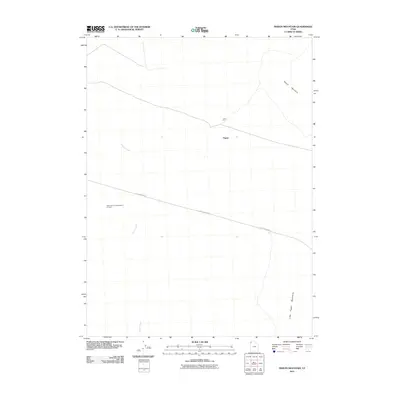
2011 Map of Pigeon Mountain
USGS Topo · Published 2011About this map
Astronomical Observation Tunnels stand out as a unique land-art and scientific feature in this arid stretch of Box Elder County. This high-desert landscape is anchored by the prominent Pigeon Mountain and the Little Pigeon Mountains to the south, overlooking the drainage of Grouse Creek. The settlement of Pigeon appears in a sparsely populated region defined by the intersection of remote tracks like Little Pigeon Rd. Industrial activity is localized at the Lucin Pit, suggesting mining or quarrying interests that have historically shaped this isolated corner of Utah. The proximity of specialized observation facilities among the salt flats and mountain ranges reflects the area's utility for astronomical research, facilitated by its significant distance from urban light pollution.
Find a feature on this map
7 named features on this map. Tap any name to fly to it.
Don’t see what you’re looking for? This feature index may not catch every label — zoom into the map to look around manually.
Map Details
Editions of this 2011 Pigeon Mountain Map
This is the sole edition of this map. No revisions or reprints were ever made.
Other maps of this area

1954 · Brigham City
USGS Topo · 1:250,000

1958 · Brigham City
USGS Topo · 1:250,000

1962 · Brigham City
USGS Topo · 1:250,000

1967 · Pigeon Mountain
USGS Topo · 1:24,000

1967 · Lucin
USGS Topo · 1:24,000
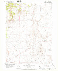
1967 · Lucin NW
USGS Topo · 1:24,000

1967 · Lucin NE
USGS Topo · 1:24,000

1967 · Lemay Island
USGS Topo · 1:24,000
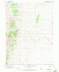
1967 · Crater Island NW
USGS Topo · 1:24,000

1983 · Jackson
USGS Topo · 1:24,000