2000s (21st Century) Maps of Box Elder County, Utah
Explore 731 historic maps of Box Elder County from the 2000s (21st Century). These maps offer a rare glimpse into what life looked like during the 2000s — showing old roads, neighborhoods, homes, and landmarks that have changed or disappeared over time.
Whether you're researching your family's past, planning a metal detecting trip, or studying how Box Elder County's landscape evolved across the 2000s, these high-resolution maps are a powerful tool for exploring the history of this region.
- Focus on a specific era: All maps on this page are from the 2000s, giving you a focused view of this time period.
- See what’s changed: Compare century-old streets, trails, and buildings to today's modern landscape using overlays and satellite layers.
- Research with precision: Use these maps for genealogy, historical research, land use analysis, or educational projects.
- View, download, or print: Maps are fully viewable online in high resolution, and can be downloaded or printed for your own records.
Start exploring Box Elder County's history through authentic maps from the 2000s. This is your window into the past.
Box Elder County, UT maps
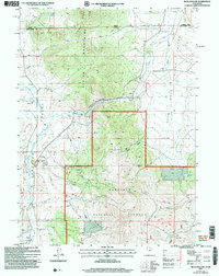
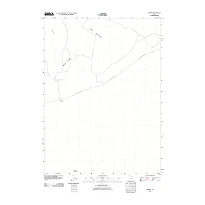
(731)- 2001 Map of Lynn Reservoir, 2006 Print
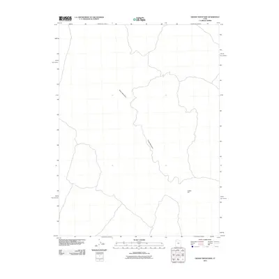
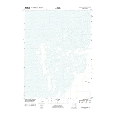
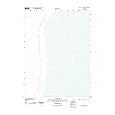
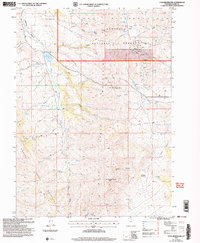 2001 Lynn Reservoir2006 Print · USGSBox Elder County at the turn of the millennium is characterized here by the intersection of mountain ranges and high-desert resource extraction. Researchers can trace land use through the presence of a Cem, Quarries, and remote landmarks like Lynn Reservoir.
 - 2001 Map of Dennis Hill, 2006 Print
 2001 Dennis Hill2006 Print · USGSThe high desert and mountain slopes of Box Elder County are documented here at the start of the millennium. Researchers can trace historic mining operations at Century Mine, locate remote prospects, and follow the path of the pipeline near Warm Spring Reservoir.
 - 2001 Map of Standrod, 2006 Print
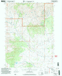
 2001 Standrod2006 Print · USGSThe borderlands of Box Elder County at the turn of the 21st century reveal a rugged landscape of high-mountain mining and ranching infrastructure. Researchers can locate remote resource sites like Open Pit Mines near Standrod and family-named landmarks such as Barnette Hollow and George Peak.
 - 2001 Map of Rosette, 2006 Print
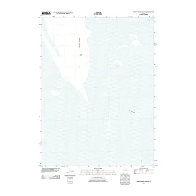
 2001 Rosette2006 Print · USGSThe community of Rosette sits between the high Raft River Mountains and the desert floor at the turn of the millennium. Genealogists and researchers can trace local landmarks like the Post Office, numerous mountain prospects, and the Dipping Vat.
 - 2001 Map of Buck Hollow, 2006 Print
 2001 Buck Hollow2006 Print · USGSCrossing the Utah-Idaho border at the turn of the millennium, this area reveals a landscape of high-altitude ranching and timber. Trace the rugged terrain of the Albion Mountains and locate features like the Rock Processing Yard and the remote Cem.
 - 2001 Map of Curlew Junction, 2006 Print
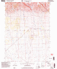
 2001 Curlew Junction2006 Print · USGSThe high desert of Box Elder County comes into focus at the turn of the 21st century, revealing a landscape defined by westward migration and modern water management. Trace the historic Salt Lake Cut-Off past landmarks like Pilot Spring and the Curlew Junction crossroads.
 - 2001 Map of Rosevere Point, 2006 Print
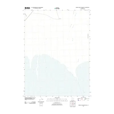
 2001 Rosevere Point2006 Print · USGSHigh mountain terrain on the Utah-Idaho border is captured here at the turn of the millennium. Genealogists and historians can trace the California National Historic Trail and locate the remote Clear Creek Cemetery or the high-altitude Lake Rosevere.
 - 2001 Map of Yost, 2006 Print
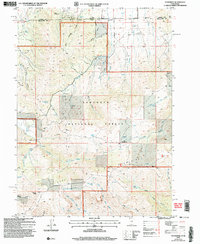
 2001 Yost2006 Print · USGSThe Idaho and Utah borderlands at the turn of the millennium reveal a quiet landscape of high-valley ranching and mountain prospecting. Researchers can locate the Yost settlement and Yost Cem, or trace mineral history through various Prospects and Adits near Johnson Creek.
 - 2001 Map of Kelton Pass, 2006 Print
 2001 Kelton Pass2006 Print · USGSThe borderlands of Utah and Idaho are captured here at the turn of the millennium, showing where the historic Salt Lake Cut-Off meets the Sawtooth National Forest. You can trace the California National Historic Trail past the Hardup site and through Kelton Pass.
 - 2010 Map of Grassy Mountains, 2010 Print
 2010 Grassy Mountains2010 Print · USGSCovers Box Elder County, including Tooele County, United States, and other nearby areas
 - 2010 Map of Finger Ridge, 2010 Print
 2010 Finger Ridge2010 Print · USGSCovers Box Elder County, including Tooele County, United States, and other nearby areas
 - 2011 Map of South of Keller Well, 2011 Print
 2011 South of Keller Well2011 Print · USGSCovers Box Elder County, including Tooele County, United States, and other nearby areas
 - 2011 Map of Round Mountain SW, 2011 Print
 2011 Round Mountain SW2011 Print · USGSCovers Box Elder County, including United States, Utah, and other nearby areas
 - 2011 Map of Cotton Thomas Basin, 2011 Print
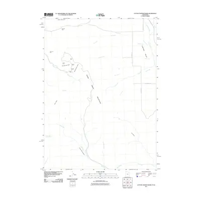 2011 Cotton Thomas Basin2011 Print · USGSCovers Box Elder County, including Cassia County, United States, and other nearby areas
 - 2011 Map of Big Pass, 2011 Print
 2011 Big Pass2011 Print · USGSCovers Box Elder County, including Tooele County, United States, and other nearby areas
 - 2011 Map of Runswick Wash, 2011 Print
 2011 Runswick Wash2011 Print · USGSCovers Box Elder County, including United States, Utah, and other nearby areas
 - 2011 Map of Crocodile Mountain NE, 2011 Print
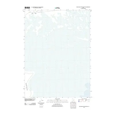 2011 Crocodile Mountain NE2011 Print · USGSCovers Box Elder County, including United States, Utah, and other nearby areas
 - 2011 Map of Prohibition Spring, 2011 Print
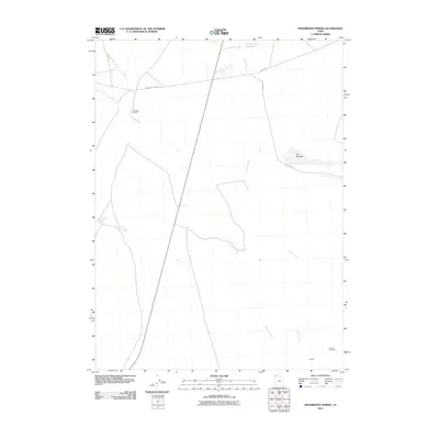 2011 Prohibition Spring2011 Print · USGSCovers Box Elder County, including United States, Utah, and other nearby areas
 - 2011 Map of Sheep Mountain, 2011 Print
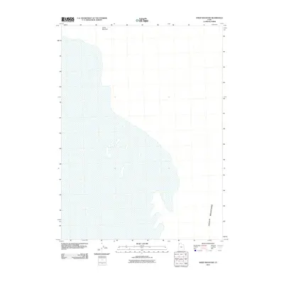 2011 Sheep Mountain2011 Print · USGSCovers Box Elder County, including United States, Utah, and other nearby areas
 - 2011 Map of Pigeon Mountain, 2011 Print
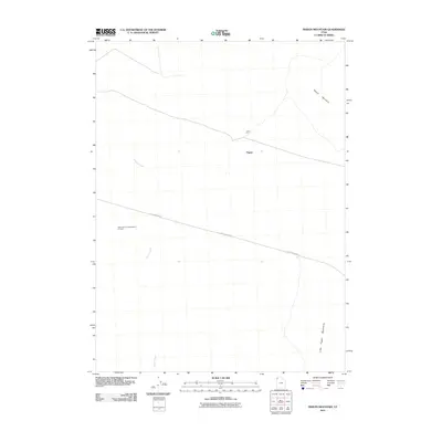 2011 Pigeon Mountain2011 Print · USGSCovers Box Elder County, including United States, Utah, and other nearby areas
 - 2011 Map of Matlin, 2011 Print
 2011 Matlin2011 Print · USGSCovers Box Elder County, including United States, Utah, and other nearby areas
 - 2011 Map of Hogup Ridge South, 2011 Print
 2011 Hogup Ridge South2011 Print · USGSCovers Box Elder County, including United States, Utah, and other nearby areas
 - 2011 Map of Terrace Mountain West, 2011 Print
 2011 Terrace Mountain West2011 Print · USGSCovers Box Elder County, including United States, Utah, and other nearby areas
 - 2011 Map of Russian Knoll, 2011 Print
 2011 Russian Knoll2011 Print · USGSCovers Box Elder County, including United States, Utah, and other nearby areas
 - 2011 Map of Crater Island SW, 2011 Print
 2011 Crater Island SW2011 Print · USGSCovers Box Elder County, including Tooele County, United States, and other nearby areas
Showing maps 1-25 of 731
Top cities of Box Elder County
- Brigham City historical maps
- Tremonton historical maps
- Perry historical maps
- Garland historical maps
- Willard historical maps
- Honeyville historical maps
See more
Frequently asked questions
- What are the different types of historical maps available for Box Elder County?
- What is the oldest map of Box Elder County?
- Where can I purchase historical maps of Box Elder County for my home or office?
- Where can I download high-res historical maps of Box Elder County?
- Are there historical topographic maps available for Box Elder County?
- Is there historical aerial imagery available for Box Elder County?
- Where are historical maps of Box Elder County sourced from?