2010s Maps of West Point, Utah
Explore 12 historic maps of West Point from the 2010s. These maps offer a rare glimpse into what life looked like during the 2010s — showing old roads, neighborhoods, homes, and landmarks that have changed or disappeared over time.
Whether you're researching your family's past, planning a metal detecting trip, or studying how West Point's landscape evolved across the 2010s, these high-resolution maps are a powerful tool for exploring the history of this region.
- Focus on a specific era: All maps on this page are from the 2010s, giving you a focused view of this time period.
- See what’s changed: Compare century-old streets, trails, and buildings to today's modern landscape using overlays and satellite layers.
- Research with precision: Use these maps for genealogy, historical research, land use analysis, or educational projects.
- View, download, or print: Maps are fully viewable online in high resolution, and can be downloaded or printed for your own records.
Start exploring West Point's history through authentic maps from the 2010s. This is your window into the past.
West Point, UT maps
(12)- 2011 Map of Antelope Island North, 2011 Print
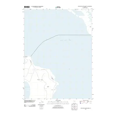 2011 Antelope Island North2011 Print · USGSThe northern reaches of Antelope Island are captured here during the early 2000s, showing the intersection of Great Salt Lake geography and public recreation. Researchers can trace landforms like Beacon Knob and historic sites such as Tin Lambing Basin.
 - 2011 Map of Ogden Bay, 2011 Print
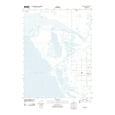 2011 Ogden Bay2011 Print · USGSThe eastern shores of the Great Salt Lake and the Weber River delta are revealed in detail during the early twenty-first century. Genealogists and local researchers can trace family landmarks and community sites like Hooper, Naisbitt Acres, and the Hooper Cemetery.
 - 2011 Map of Clearfield, 2011 Print
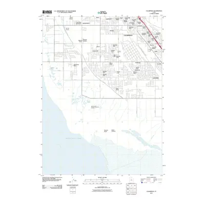 2011 Clearfield2011 Print · USGSDavis County's eastern shoreline meets the suburban expansion of the early twenty-first century as agricultural tracts give way to dense residential grids. Genealogists and local researchers can trace family-named areas like Henry Oleson alongside landmarks such as Syracuse Memorial Park and the Davis County Mosquito Abatement Airstrip.
 - 2011 Map of Roy, 2011 Print
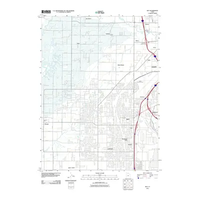 2011 Roy2011 Print · USGSThe growing communities south of the Weber River come into focus in this early twenty-first-century survey of the Ogden area. Researchers can trace the development of local neighborhoods and find specific landmarks like the Roy City Cemetery, Garland School, and the Smith Siding railroad spur.
 - 2014 Map of Roy, 2014 Print
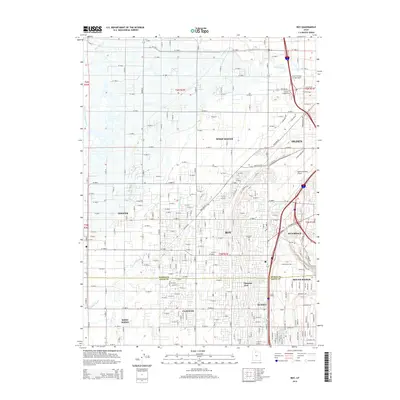 2014 Roy2014 Print · USGSThe northern Wasatch Front communities near Roy and Ogden appear here in their modern suburban configuration. Researchers can trace local landmarks and infrastructure from Ogden-Hinckley Airport to the Roy City Cem and Smith Siding.
 - 2014 Map of Antelope Island North, 2014 Print
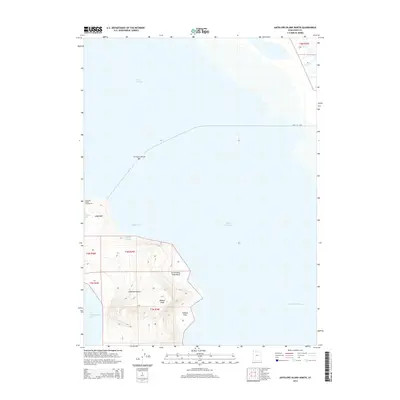 2014 Antelope Island North2014 Print · USGSAntelope Island's northern point is documented in the mid-2010s, showing the intersection of Great Salt Lake geography and island recreation. Researchers can trace the layout of the Antelope Island Campground and locate landmarks like Beacon Knob and Ladyfinger Springs.
 - 2014 Map of Clearfield, 2014 Print
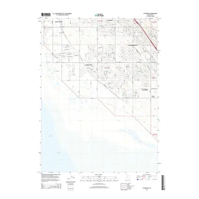 2014 Clearfield2014 Print · USGSDavis County's shoreline and residential core come into focus in the early 21st century as suburban growth reaches the edge of the lake. Local historians can trace property boundaries and civic sites like the Clearfield City Cem and Syracuse Memorial Park.
 - 2014 Map of Ogden Bay, 2014 Print
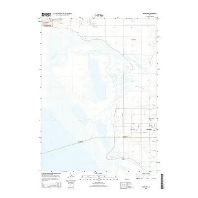 2014 Ogden Bay2014 Print · USGSThe Weber River delta and the eastern reaches of the Great Salt Lake are captured here in the early twenty-first century. Genealogists and local historians can trace the community of Hooper and the Hooper Cem alongside landmarks like Hooper Hot Springs.
 - 2017 Map of Antelope Island North, 2017 Print
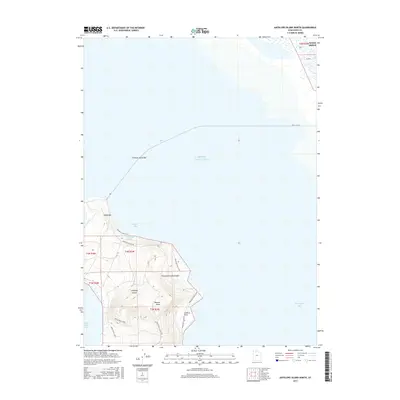 2017 Antelope Island North2017 Print · USGSThe northern tip of Antelope Island and the neighboring mainland near West Point appear here during the late twenty-teens. Trace the coastline from Ladyfinger Springs to Camera Flats, or follow the Davis Co Cswy across the water.
 - 2017 Map of Clearfield, 2017 Print
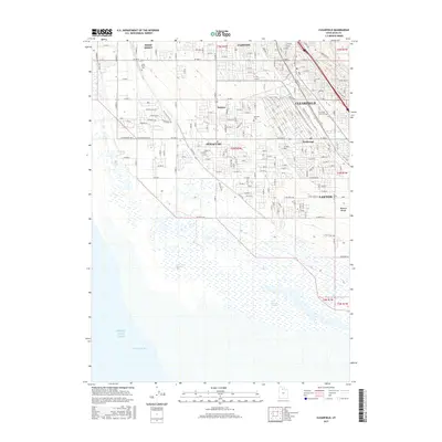 2017 Clearfield2017 Print · USGSDavis County's modern suburban growth meets the marshes of the Great Salt Lake in this mid-2010s survey. Genealogists can locate family sites near the West Point Cem or Syracuse Cem, while tracing the development of Anchorage and Barnes.
 - 2017 Map of Ogden Bay, 2017 Print
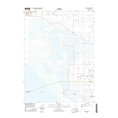 2017 Ogden Bay2017 Print · USGSThe eastern shores of the Great Salt Lake are captured here during a period of modern growth and wetland management. Researchers can trace family roots at the Hooper Cem or explore the marshy landscape near Hooper Hot Springs and Ogden Bay.
 - 2017 Map of Roy, 2017 Print
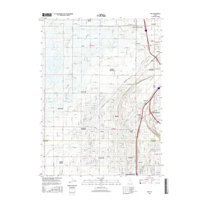 2017 Roy2017 Print · USGSThe northern Wasatch Front is shown in full suburban expansion during the late 2010s, covering the busy corridor between Ogden and Clearfield. Genealogists and local historians can pinpoint Roy City Cem, trace the outskirts of the Ogden-Hinckley Airport, or find historic neighborhoods like Cozydale and Kanesville.
End of results
Showing maps 1-12 of 12
Top cities near West Point
- Ogden historical maps
- Layton historical maps
- Bountiful historical maps
- Roy historical maps
- Kaysville historical maps
- Syracuse historical maps
See more
Frequently asked questions
- What are the different types of historical maps available for West Point?
- What is the oldest map of West Point?
- Where can I purchase historical maps of West Point for my home or office?
- Where can I download high-res historical maps of West Point?
- Are there historical topographic maps available for West Point?
- Is there historical aerial imagery available for West Point?
- Where are historical maps of West Point sourced from?