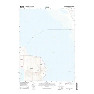
2014 Map of Antelope Island North
USGS Topo · Published 2014About this map
Antelope Island rises from the southeastern waters of the Great Salt Lake, dominating this 2014 topographic study of its northern reaches. The island's northern tip is characterized by distinct landforms like Ladyfinger and the nearby Antelope Island Campground, providing a look at the recreational infrastructure within this unique island landscape. The western shore is indented by Bridger Bay and White Rock Bay, while the eastern side fronts the shallow expanse of Farmington Bay.
Find a feature on this map
19 named features on this map. Tap any name to fly to it.
Don’t see what you’re looking for? This feature index may not catch every label — zoom into the map to look around manually.
Map Details
Editions of this 2014 Antelope Island North Map
This is the sole edition of this map. No revisions or reprints were ever made.
Other maps of this area

1885 · Tooele Valley
USGS Topo · 1:250,000

1952 · Saltair NE
USGS Topo · 1:24,000

1953 · Tooele
USGS Topo · 1:250,000

1954 · Antelope Island
USGS Topo · 1:24,000

1954 · Antelope Island North
USGS Topo · 1:24,000

1954 · Brigham City
USGS Topo · 1:250,000

1955 · Clearfield
USGS Topo · 1:24,000

1955 · Roy
USGS Topo · 1:24,000

1955 · Ogden Bay
USGS Topo · 1:24,000

1955 · Fremont Island
USGS Topo · 1:24,000