Old Maps of Westwater, Utah for Academic Research
Study the evolution of Westwater with 15 high-resolution historic maps. Whether you're teaching, researching, or modeling changes in land use, these maps provide essential visual documentation of urban, environmental, and geographic change.
- Analyze long-term change: Track patterns in development, transportation, and natural features.
- Ideal for environmental or urban studies: Support academic projects with primary historical map data.
- Use in the classroom or lab: Educators and researchers rely on these maps to bring historical context to life.
These maps are a powerful tool for teaching, research, and visualizing how Westwater has changed over the decades.
Westwater, UT maps
(15)- 1885 Map of East Tavaputs
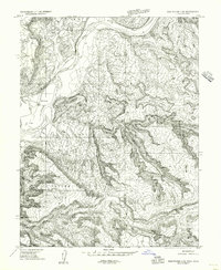
 1885 East Tavaputs1885 Print · USGSEastern Utah in the mid-1880s was a landscape of massive plateaus and vital rail corridors. Researchers can trace the path of the Denver and Rio Grande Western through the Grand River Valley or locate water sources like Asphalt Creek and Bitter Water Creek.6 unique versions available
 - 1956 Map of Westwater 4 SE
 1956 Westwater 4 SE1956 Print · USGSThe Utah-Colorado borderlands come into focus in the mid-1950s as the railroad follows the serpentine Colorado River. Trace the early infrastructure at Westwater and Utaline or locate the canyons of Westwater Wash.
 - 1956 Map of Grand Junction, 1973 Print
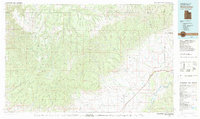
 1956 Grand Junction1973 Print · USGSThe Grand Valley and its surrounding high plateaus are captured here in the mid-twentieth century as the region's ranching and rail heritage remained central. Researchers can trace the path of the Denver & Rio Grande Western RR through Grand Junction or locate remote outposts like Dragon and Atchee.2 unique versions available
 - 1959 Map of Grand Junction
 1959 Grand Junction1959 Print · USGSThe Grand Valley and the high plateaus of the Colorado-Utah border come into focus in the late fifties as irrigation and rail lines define the landscape. Local historians can trace several industrial outposts labeled as abandoned, including Watson and Dragon, alongside the Denver and Rio Grande Western RR.
 - 1960 Map of Grand Junction
 1960 Grand Junction1960 Print · USGSThe Grand Junction area at the dawn of the 1960s shows a landscape of river-valley agriculture and high-plateau extraction. Researchers can trace the path of the dismantled railroad and find vanished sites like Watson and Sego.2 unique versions available
 - 1962 Map of Grand Junction
 1962 Grand Junction1962 Print · USGSThe Western Slope of the early sixties comes into focus here, showing the irrigation-driven growth of the valley and the surrounding high desert. Trace the path of the Denver and Rio Grande Western RR or locate old outposts like Atchee and Dragon.
 - 1964 Map of Grand Junction
 1964 Grand Junction1964 Print · USGSThe Colorado-Utah borderlands are shown here in the mid-1960s, a period when the river-valley settlements and high-desert rail outposts defined the region. Researchers can trace the legacy of remote camps like Atchee and Dragon or follow the agricultural expansion around Grand Junction and Fruita.
 - 1965 Map of Grand Junction
 1965 Grand Junction1965 Print · USGSWestern Colorado and eastern Utah appear at a mid-century crossroads, where the irrigated orchards of the Grand Valley meet the high desert plateaus. Trace the Denver & Rio Grande Western RR as it connects Grand Junction to early settlements like Westwater and Cisco.2 unique versions available
 - 1980 Map of Westwater, 1987 Print
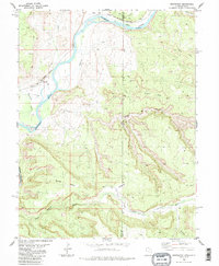
 1980 Westwater1987 Print · USGSGrand County, Utah, and western Colorado are captured here in the early 1980s as a landscape of deep canyons and energy extraction. Trace the path of the Denver and Rio Grande Western Railroad or locate landmarks like Westwater Creek and the Cisco Dome Oil Field.2 unique versions available
 - 1985 Map of Westwater, 1986 Print
 1985 Westwater1986 Print · USGSThe Utah-Colorado borderlands come into focus in the mid-1980s as the river and rail corridor winds through high desert plateaus. Researchers can trace the path of the Denver and Rio Grande Western through Ruby Canyon and locate remote outposts like Westwater and Utaline.2 unique versions available
 - 2011 Map of Westwater, 2011 Print
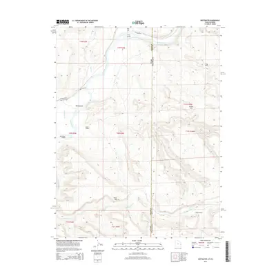
 2011 Westwater2011 Print · USGSCovers Westwater, including Mesa County, Grand County, and other nearby areas
 - 2014 Map of Westwater, 2014 Print
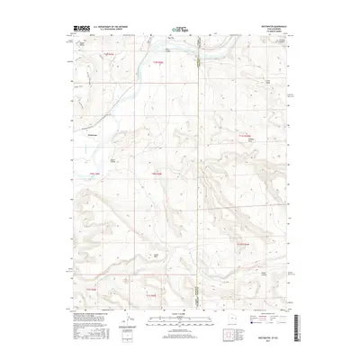
 2014 Westwater2014 Print · USGSCovers Westwater, including Mesa County, Grand County, and other nearby areas
 - 2017 Map of Westwater, 2017 Print
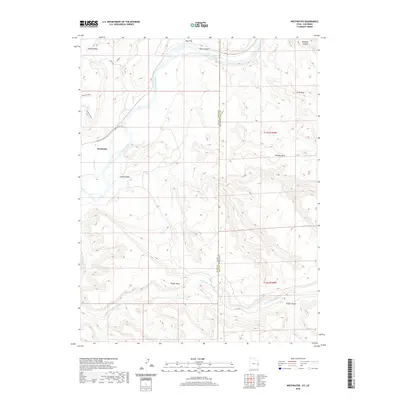
 2017 Westwater2017 Print · USGSCovers Westwater, including Mesa County, Grand County, and other nearby areas
 - 2020 Map of Westwater, 2020 Print
 2020 Westwater2020 Print · USGSCovers Westwater, including Mesa County, Grand County, and other nearby areas
 - 2023 Map of Westwater, 2023 Print
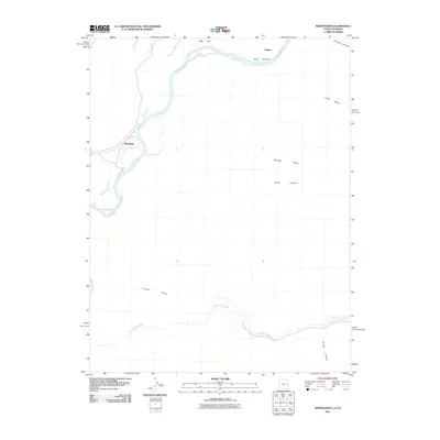
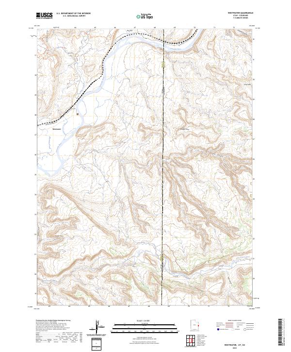 2023 Westwater2023 Print · USGSThe Colorado Plateau wilderness meets the state line in this contemporary study of the river canyons. Trace the path of the Colorado River through Ruby Canyon and locate remote landmarks like Snyder Mesa and Westwater.
End of results
Showing maps 1-15 of 15
Frequently asked questions
- What are the different types of historical maps available for Westwater?
- What is the oldest map of Westwater?
- Where can I purchase historical maps of Westwater for my home or office?
- Where can I download high-res historical maps of Westwater?
- Are there historical topographic maps available for Westwater?
- Is there historical aerial imagery available for Westwater?
- Where are historical maps of Westwater sourced from?