Old Maps of Goshute, Utah for Genealogy
Trace your family roots with 21 historic maps of Goshute. These high-res maps reveal old neighborhoods, homesites, landmarks, and streets — helping you uncover where your ancestors lived and how the area evolved over time.
- Explore historic neighborhoods: Identify where your relatives may have lived in the 1800s or 1900s.
- Compare maps over time: Trace the changes in streets, buildings, and landmarks for multi-generational research.
- Perfect for genealogy & ancestry research: Used by family historians and researchers to map out lineage and migration.
These maps are an incredible resource for exploring your personal connection to Goshute's past.
Goshute, UT maps
(21)- 1908 Map of Fish Springs
 1908 Fish Springs1908 Print · USGSWestern Utah at the turn of the century is a land of remote mining camps and desert outposts. Trace family history and early industry at Utah Mine, Joy P.O., and the isolated Butson's Ranch near the Confusion Range.
 - 1910 Map of Fish Springs
 1910 Fish Springs1910 Print · USGSWestern Utah's high desert and isolated mining districts are mapped here in the early twentieth century, showing a landscape of remote ranching and rugged mineral claims. Local historians can trace family-named outposts like Meecham's Ranch and Thomas' Ranch or locate the Queen of Sheba Mine and Fish Springs.6 unique versions available
 - 1953 Map of Delta, 1969 Print
 1953 Delta1969 Print · USGSWest-central Utah in the early fifties shows a landscape of vast desert playas and rising mountain ranges. Genealogists and historians can trace rail sidings like Champlin Siding, local industry at the Tungsten Mill, and historic outposts such as Fort Deseret.3 unique versions available
 - 1956 Map of Ely, 1968 Print
 1956 Ely1968 Print · USGSEastern Nevada in the mid-fifties is a land of massive mountain ranges and silver-boom history. Trace the legacy of mining ruins at Hamilton and Treasure City or follow the path of the Nevada Northern RR through Ely.5 unique versions available
 - 1958 Map of Delta
 1958 Delta1958 Print · USGSThe West Desert of Utah comes into sharp focus during the late 1950s, showing the intersection of military ranges, irrigation projects, and historical transit. You can trace the proximity of the Topaz Camp to Delta, or locate the Pony Express Monument and the ruins of Fort Deseret.
 - 1959 Map of Ely
 1959 Ely1959 Print · USGSEastern Nevada's high desert reveals its mining heart and pioneer ranching outposts during the late fifties. Genealogists and historians can trace family-named outposts like Goicoechea Ranch or explore the ruins of former silver-mining hubs like Hamilton and Treasure City.2 unique versions available
 - 1962 Map of Delta
 1962 Delta1962 Print · USGSWest Central Utah in the early sixties reveals a landscape of desert agriculture and military testing grounds. Researchers can trace the Union Pacific line through Delta or locate historic sites like the Pony Express Monument and Silver City.
 - 1963 Map of Ely
 1963 Ely1963 Print · USGSEastern Nevada's high basins and mountain ranges are captured here in the early sixties, showing a landscape defined by mining and ranching. Trace family roots at the Thompson Ranch or follow the Nevada Northern Railroad through Steptoe Valley.
 - 1972 Map of Goshute, 1975 Print
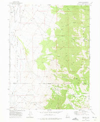 1972 Goshute1975 Print · USGSThe High Desert borderlands of Tooele and Juab counties are captured here in the early 1970s, focused on the Goshute Indian Reservation. Genealogists and researchers can trace remote landmarks like the Cem and Skinner Springs among the vast network of Jeep Trails.3 unique versions available
 - 1979 Map of Fish Springs
 1979 Fish Springs1979 Print · USGSWestern Utah in the late seventies reveals a landscape of high peaks and desert basins, from the Deep Creek Range to the Great Salt Lake Desert. Researchers can locate remote settlements like Partoun and Callao, or trace old mining operations at the Emma Mine and Bell Hill Mine.4 unique versions available
 - 1981 Map of Georgetta Ranch
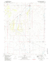 1981 Georgetta Ranch1981 Print · USGSThe Nevada-Utah borderlands are captured in the early eighties as a landscape of remote ranching and desert transit. Genealogists and historians can trace the foundations of Georgetta Ranch, the route of Whiskey Road, and the extent of the Goshute Indian Reservation.
 - 1988 Map of Kern Mountains
 1988 Kern Mountains1988 Print · USGSThe high-desert basins of the Nevada-Utah border are captured here in the late eighties, documenting a remote landscape of mining and ranching. Researchers can trace historic travel routes through Schellbourne Pass or locate the site of Cherry Creek Station and Stonehouse.2 unique versions available
 - 2011 Map of Goshute, 2011 Print
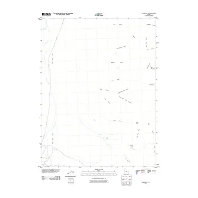 2011 Goshute2011 Print · USGSJuab County’s high-desert borderlands come into focus in this study of the Deep Creek drainage system. Researchers can trace historical routes like Old Store Rd and identify essential water sources such as Skinner Springs and Cold Spring.
 - 2012 Map of Georgetta Ranch, 2012 Print
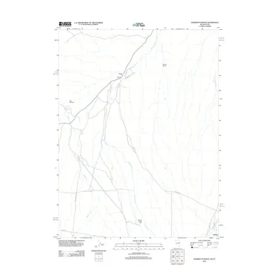 2012 Georgetta Ranch2012 Print · USGSThe high-desert ranching country of the Nevada-Utah border is documented here in the early twenty-first century. Genealogists and local historians can trace the roads and water rights connecting Georgetta Ranch, Eightmile, and Goshute.
 - 2014 Map of Goshute, 2014 Print
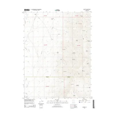 2014 Goshute2014 Print · USGSThe western slopes of the Deep Creek Range meet the valley floor in the mid-2010s, showing a landscape of high-altitude canyons and remote outposts. Researchers can trace the layout of Goshute, locate the Goshute Airport, and identify landmarks like Chimney Rock.
 - 2014 Map of Georgetta Ranch, 2014 Print
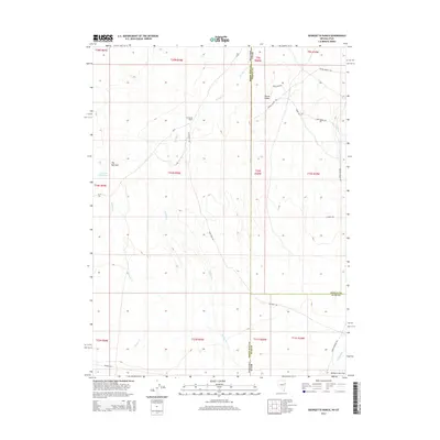 2014 Georgetta Ranch2014 Print · USGSThe Nevada-Utah borderlands are captured here in the early twenty-first century, showing the remote ranching landscape where White Pine, Tooele, and Juab counties meet. Researchers can trace the layout of Georgetta Ranch and follow historic routes like Whiskey Rd or Round Valley Rd.
 - 2017 Map of Goshute, 2017 Print
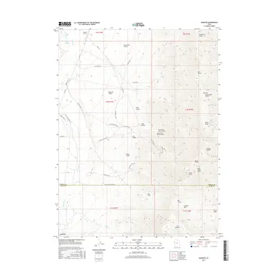 2017 Goshute2017 Print · USGSThe Goshute reservation and the high-altitude Deep Creek Range are shown here in the late 2010s. Genealogists and researchers can trace remote access roads and land features such as Goshute Airport, Skinner Springs, and the Arts Ctn Mine Rd.
 - 2018 Map of Georgetta Ranch, 2018 Print
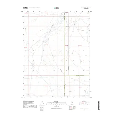 2018 Georgetta Ranch2018 Print · USGSThe high-desert borderlands of Utah and Nevada are captured here in the late twenty-teens, showing a landscape defined by historic transit and ranching. Trace the path of the Pony Express Rd past Georgetta Ranch and the waters of Goshute Reservoir.
 - 2020 Map of Goshute, 2020 Print
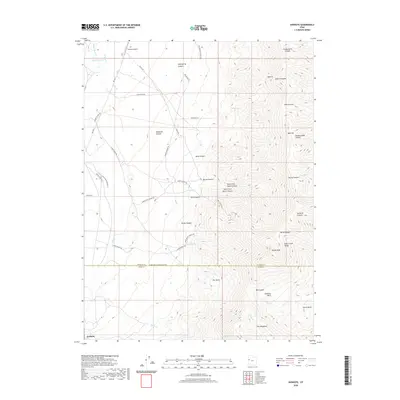 2020 Goshute2020 Print · USGSThe high desert of western Utah meets the towering Deep Creek Range in this modern survey of the borderlands. Local researchers can trace the roads around Goshute or locate remote landmarks like Goshute Airport, The Delle, and Chimney Rock.
 - 2021 Map of Georgetta Ranch, 2021 Print
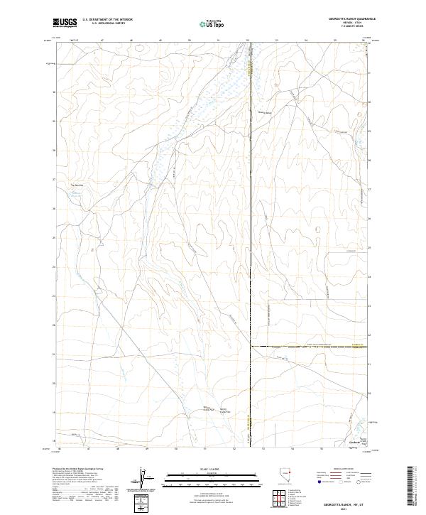 2021 Georgetta Ranch2021 Print · USGSDeep in the Great Basin during the early twenty-first century, this map captures the stark intersection of Nevada and Utah. Historians can trace the legendary Pony Express Rd and find local landmarks like Goshute Reservoir and Round Valley.
 - 2023 Map of Goshute, 2023 Print
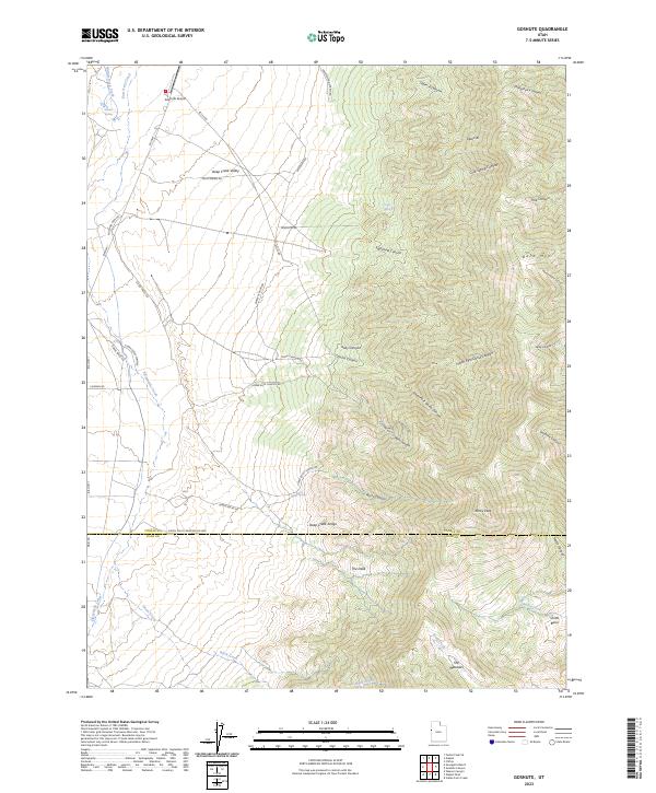 2023 Goshute2023 Print · USGSThe Utah desert on the Tooele and Juab county line is captured in this recent survey of the Great Basin. Map collectors and researchers can trace the rugged canyons of the Deep Creek Range and locate landmarks like the Goshute Airport and The Delle.
End of results
Showing maps 1-21 of 21
Top cities near Goshute
Frequently asked questions
- What are the different types of historical maps available for Goshute?
- What is the oldest map of Goshute?
- Where can I purchase historical maps of Goshute for my home or office?
- Where can I download high-res historical maps of Goshute?
- Are there historical topographic maps available for Goshute?
- Is there historical aerial imagery available for Goshute?
- Where are historical maps of Goshute sourced from?