Old Maps of Bullfrog, Utah for Hiking & Exploration
Hike through history with 12 historic maps of Bullfrog. Explore old trails, ghost towns, and forgotten backroads — perfect for outdoor adventurers and local explorers.
- Rediscover forgotten places: Map out old mining camps, roads, and footpaths that no longer exist on modern maps.
- Layer with modern tools: Combine with LiDAR or satellite views to plan hikes through historical terrain.
- Made for exploration: Popular among hikers, overlanders, and local history lovers.
Use these maps to find adventure and explore the hidden past of Bullfrog.
Bullfrog, UT maps
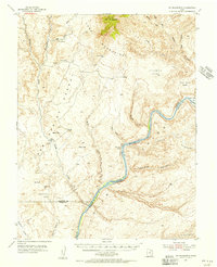
(12)- 1886 Map of Henry Mountains
 1886 Henry Mountains1886 Print · USGSSouthern Utah remains a wilderness of deep canyons and volcanic peaks in this 1880s survey. Researchers can trace the original courses of the Colorado River through Cataract Canyon and find landmarks like Navajo Mt and Monument Valley.
 - 1892 Map of Henry Mountains
 1892 Henry Mountains1892 Print · USGSSouthern Utah in the late 1800s remains a wilderness of deep canyons and isolated peaks under the direction of J.W. Powell. Geologists and historians can trace the geological spine of the Water Pocket Fold and the early boundaries of the Navajo Indian Res. near Monument Valley.6 unique versions available
 - 1953 Map of Mt. Ellsworth, 1956 Print
 1953 Mt. Ellsworth1956 Print · USGSThe Colorado River corridor near the Henry Mountains appears here in the mid-1950s, shortly before the flooding of the canyon floor. Researchers can trace the original river course past Good Hope Bar, Olympia Bar, and the rugged Hoskinnini Mesa.4 unique versions available
 - 1956 Map of Escalante
 1956 Escalante1956 Print · USGSSouthern Utah and Northern Arizona are charted here in the mid-fifties, just before the canyon floor was transformed. Researchers can trace remote desert commerce at Oljeto Trading Post, find the Adairville (ruins), and locate Uranium mines.5 unique versions available
 - 1960 Map of Escalante
 1960 Escalante1960 Print · USGSSouthern Utah and northern Arizona appear at a historic turning point in the late fifties as Lake Powell begins to reshape the canyons. Researchers can trace remote sites like Goulding Trading Post, a lonely Uranium Mine, and Coyote Ranches before the reservoir's rise.
 - 1980 Map of Hite Crossing, 1987 Print
 1980 Hite Crossing1987 Print · USGSSouthern Utah's canyon country comes alive in the early eighties as the waters of Lake Powell reshape the landscape. Trace old mining operations like the Happy Jack Mine or the remote peaks of the Henry Mountains.
 - 1987 Map of Bullfrog
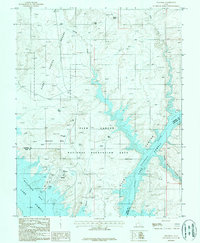 1987 Bullfrog1987 Print · USGSGarfield County's desert canyons meet the rising waters of Lake Powell in the late eighties as the recreation hub at Bullfrog takes shape. Researchers can trace the development of the marina and Bullfrog Basin Airport alongside landmarks like Hoskinnini Mesa.
 - 2011 Map of Bullfrog, 2011 Print
 2011 Bullfrog2011 Print · USGSCovers Bullfrog, including San Juan County, Kane County, and other nearby areas
 - 2014 Map of Bullfrog, 2014 Print
 2014 Bullfrog2014 Print · USGSCovers Bullfrog, including San Juan County, Kane County, and other nearby areas
 - 2017 Map of Bullfrog, 2017 Print
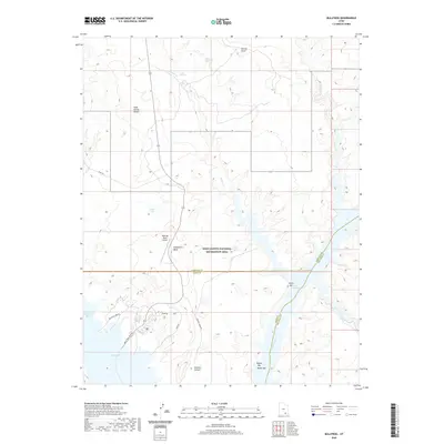
 2017 Bullfrog2017 Print · USGSCovers Bullfrog, including San Juan County, Kane County, and other nearby areas
 - 2020 Map of Bullfrog, 2020 Print
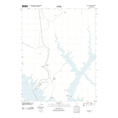
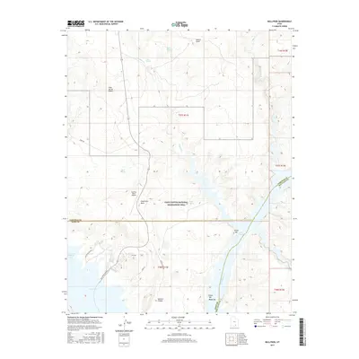
 2020 Bullfrog2020 Print · USGSCovers Bullfrog, including San Juan County, Kane County, and other nearby areas
 - 2023 Map of Bullfrog, 2023 Print
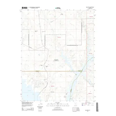
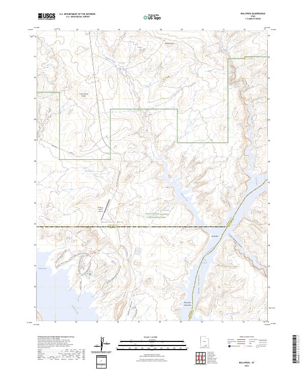 2023 Bullfrog2023 Print · USGSGarfield County's high desert meets the waters of the Colorado in the early twenty-first century. Researchers can trace the developed shoreline around Bullfrog Bay and the winding course of the Burr Trail as it crosses the Cane Spring Desert.
End of results
Showing maps 1-12 of 12
Frequently asked questions
- What are the different types of historical maps available for Bullfrog?
- What is the oldest map of Bullfrog?
- Where can I purchase historical maps of Bullfrog for my home or office?
- Where can I download high-res historical maps of Bullfrog?
- Are there historical topographic maps available for Bullfrog?
- Is there historical aerial imagery available for Bullfrog?
- Where are historical maps of Bullfrog sourced from?