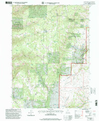
1990s Maps of Rich County, Utah
Explore 28 historic maps of Rich County from the 1990s. These maps offer a rare glimpse into what life looked like during the 1990s — showing old roads, neighborhoods, homes, and landmarks that have changed or disappeared over time.
Whether you're researching your family's past, planning a metal detecting trip, or studying how Rich County's landscape evolved across the 1990s, these high-resolution maps are a powerful tool for exploring the history of this region.
- Focus on a specific era: All maps on this page are from the 1990s, giving you a focused view of this time period.
- See what’s changed: Compare century-old streets, trails, and buildings to today's modern landscape using overlays and satellite layers.
- Research with precision: Use these maps for genealogy, historical research, land use analysis, or educational projects.
- View, download, or print: Maps are fully viewable online in high resolution, and can be downloaded or printed for your own records.
Start exploring Rich County's history through authentic maps from the 1990s. This is your window into the past.
Rich County, UT maps
(28)- 1991 Map of Horse Ridge
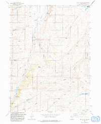
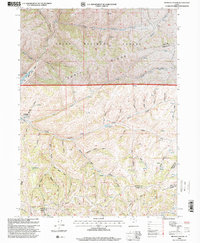
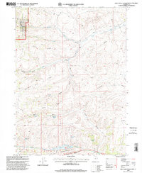
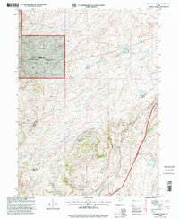
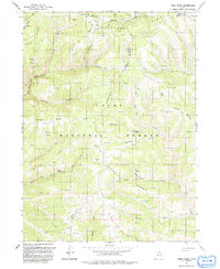 1991 Horse Ridge1991 Print · USGSHigh in the northern Wasatch Range during the early nineties, this survey documents the rugged intersection of Weber, Rich, and Morgan counties. Researchers can trace remote geographic landmarks like Squaw Butte, the drainage of Sawmill Canyon, and the numerous springs feeding the South Fork Ogden River.
 - 1991 Map of Meachum Ridge
 1991 Meachum Ridge1991 Print · USGSRich County's high-country ridges and reservoirs are captured here in the early nineties, showing a landscape of forest management and water utility. Researchers can trace the paths of 4WD trails and a pipeline across Meachum Ridge and Strawberry Ridge.
 - 1991 Map of Neponset Reservoir NW
 1991 Neponset Reservoir NW1991 Print · USGSRich County ranching country is captured here in the early nineties, showing a landscape defined by vital water sources. Trace the remote Home Ranch and follow the drainage of Saleratus Creek toward the shores of the Neponset Reservoir.
 - 1991 Map of Monte Cristo Peak
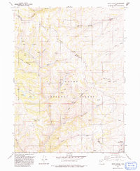
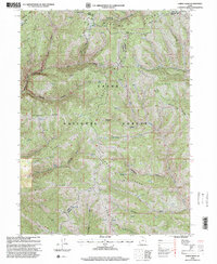
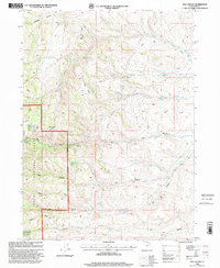
 1991 Monte Cristo Peak1991 Print · USGSThe high country of the Wasatch Range is captured here in the early 1990s, where three county lines meet in a landscape of peaks and alpine valleys. Trace the headwaters of the Bear River and locate remote landmarks like Monte Cristo Peak, Dry Bread Pond, and the secluded Limestone Spring.2 unique versions available
 - 1991 Map of Peck Canyon
 1991 Peck Canyon1991 Print · USGSHigh-country ridges and canyons define the Rich and Morgan county line in the early nineties. Geologists and outdoorsmen can trace primitive routes past Saleratus Reservoir No 3, Condie Ridge, and the headwaters of Beaver Creek.
 - 1991 Map of Wahsatch
 1991 Wahsatch1991 Print · USGSThe high mountain passes of the Utah-Wyoming border were still defined by historic transit routes and energy infrastructure in the early nineties. Genealogists and historians can trace the EMIGRANT TRAIL past The Needles and the old settlement at Wahsatch.
 - 1991 Map of Murphy Ridge
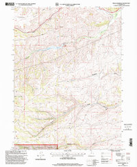
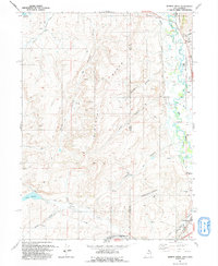 1991 Murphy Ridge1991 Print · USGSRich County, Utah, and the Wyoming borderlands are captured here in the early nineties, showing a landscape of high-altitude ranching and energy extraction. Genealogists and researchers can trace the settlement at Almy, locate the Almy Cem, and follow the winding Bear River through this complex border terrain.
 - 1991 Map of Francis Canyon
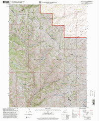
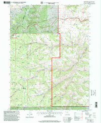
 1991 Francis Canyon1991 Print · USGSThe high mountain country of Morgan County is documented here in the early nineties at the intersection of the Rich and Summit county lines. Researchers can trace historic grazing routes and water sources through Doc Dorlands Hollow, Gilberts Pond, and the Lost Creek Reservoir.
 - 1991 Map of Mc Kay Hollow
 1991 Mc Kay Hollow1991 Print · USGSRich County's high-country water systems are captured here in the early nineties, showing a landscape defined by cattle-country reservoirs and rugged drainages. Trace the development of local water rights through Neponset Reservoir, the Saleratus Reservoirs, and Crane Reservoir.
 - 1991 Map of Shearing Corral
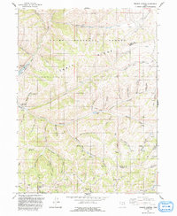
 1991 Shearing Corral1991 Print · USGSThe high ridges of Rich County are captured here in the early 1990s, showing a landscape of livestock ranching and water management. Genealogists and local historians can trace family-named landmarks like Suttons Reservoir, Heiners Springs, and the historic Cache Cave.
 - 1991 Map of Dairy Ridge
 1991 Dairy Ridge1991 Print · USGSRich County's high-country ridgelines are mapped here in the early nineties, showing a landscape defined by forest service outposts and a network of named springs. You can trace early land use and backcountry access via 4WD tracks to Eccles Peak, the Monte Cristo FS Sta, and the Dairy Ridge Reservoir.
 - 1991 Map of Neponset Reservoir NE
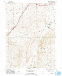
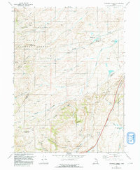
 1991 Neponset Reservoir NE1991 Print · USGSThe high borderlands of Utah and Wyoming come into focus in the early 1990s, where the Bear River feeds large-scale irrigation projects. Genealogists and local historians can trace landmarks like Wyoming Downs, Murphy Ridge, and the Chapman Canal.
 - 1998 Map of Francis Canyon, 2000 Print
 1998 Francis Canyon2000 Print · USGSUpper Morgan County in the late nineties is a landscape of mountain drainage and state-managed waters. Trace the rugged terrain of the Cache National Forest and explore landmarks like Lost Creek Reservoir and Gilberts Pond.
 - 1998 Map of Horse Ridge, 2000 Print
 1998 Horse Ridge2000 Print · USGSThe high mountain country where Weber, Morgan, and Rich counties meet is documented here as it appeared in the late 1990s. Researchers can locate remote high-altitude features like Squaw Butte, the springs at Woodruff Flat, and numerous unnamed Corral locations.
 - 1998 Map of Peck Canyon, 2000 Print
 1998 Peck Canyon2000 Print · USGSThe high ridges of the Rich and Morgan county line are captured here in the late 1990s, showing a landscape of alpine watersheds and ranching history. Trace the remote drainages of Sawmill Creek and Peck Canyon, or locate landmarks like the Shearing Corral and Saleratus Reservoir No 3.
 - 1998 Map of Garden City, 2001 Print
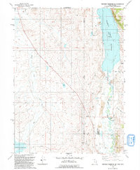
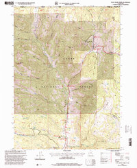
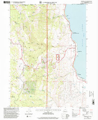 1998 Garden City2001 Print · USGSThe western shores of Bear Lake in the late 1990s are defined by recreation and rugged mountain terrain. Researchers can trace local landmarks from the Garden City Cemetery to high-elevation points like Bear Lake Summit and Swan Peak.
 - 1998 Map of Birch Creek Reservoirs, 2001 Print
 1998 Birch Creek Reservoirs2001 Print · USGSRich County in the late nineties shows a high-country landscape of managed watersheds and forest lands. Genealogists and historians can trace family-named landmarks like Thousand Dollar Ridge and remote water sources such as Woodruff Spring and Birch Creek Reservoirs.
 - 1998 Map of Dairy Ridge, 2001 Print
 1998 Dairy Ridge2001 Print · USGSHigh-country forests and grazing lands dominate this late-nineties survey at the intersection of three counties. Genealogists and researchers can trace family-named landmarks like Woodruff Girl Hollow, Hansen Canyon, and the Monte Cristo Guard Sta.
 - 1998 Map of Meachum Ridge, 2001 Print
 1998 Meachum Ridge2001 Print · USGSRich County's high ridges and canyons are captured in the late 1990s as the regional water and energy infrastructure expanded. Trace the development of the Woodruff Reservoir and Woodruff Creek Dam alongside landmarks like Meachum Ridge.
 - 1998 Map of Temple Peak, 2001 Print
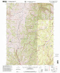
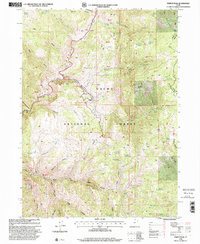 1998 Temple Peak2001 Print · USGSThe Cache National Forest in the late 1990s was a landscape of deep canyons and high mountain springs. Researchers can trace land-use history through sites like the Temple Fork Sawmill, Hunsaker Corral, and the poignant Ephraims Grave.
 - 1998 Map of Shearing Corral, 2001 Print
 1998 Shearing Corral2001 Print · USGSRich and Morgan Counties are captured here in the late nineties, showing a landscape of high-country water management and ranching. Trace the agricultural footprint of the region through Shearing Corral, Heiners Spring, and Suttons Reservoir.
 - 1998 Map of Tony Grove Creek, 2001 Print
 1998 Tony Grove Creek2001 Print · USGSThe high Bear River Range comes alive in the late nineties as a hub for both industry and recreation along the Idaho-Utah border. Researchers can find old mining sites like the Amazon Mine alongside the Beaver Mountain Ski Area and the Tony Grove Guard Sta.
 - 1998 Map of Old Canyon, 2001 Print
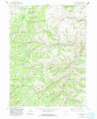
 1998 Old Canyon2001 Print · USGSRich County’s high country in the late 1990s shows a landscape of deep canyons and peaks managed for forestry and water. Trace old mountain routes and water sources from Monument Peak to Lodgepole Reservoir and Keg Spring.
 - 1998 Map of Monte Cristo Peak, 2001 Print
 1998 Monte Cristo Peak2001 Print · USGSThe high country of the Monte Cristo Range in the late nineties is documented here at the meeting of three northern Utah counties. Researchers can trace the drainages of the Bear River and find landmarks like Monte Cristo Peak and Ant Flat.
 - 1998 Map of Curtis Ridge, 2001 Print
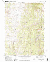
 1998 Curtis Ridge2001 Print · USGSHigh summer ranges on the Cache and Rich county line come to life in this late-twentieth-century forest survey. Researchers can trace historic water sources and stock trails through Spencer Basin, including Red Wells, Elmo Pond, and the Hardware Ranch Trail.
Showing maps 1-25 of 28
Top cities of Rich County
Frequently asked questions
- What are the different types of historical maps available for Rich County?
- What is the oldest map of Rich County?
- Where can I purchase historical maps of Rich County for my home or office?
- Where can I download high-res historical maps of Rich County?
- Are there historical topographic maps available for Rich County?
- Is there historical aerial imagery available for Rich County?
- Where are historical maps of Rich County sourced from?