2020s Maps of Rich County, Utah
Explore 66 historic maps of Rich County from the 2020s. These maps offer a rare glimpse into what life looked like during the 2020s — showing old roads, neighborhoods, homes, and landmarks that have changed or disappeared over time.
Whether you're researching your family's past, planning a metal detecting trip, or studying how Rich County's landscape evolved across the 2020s, these high-resolution maps are a powerful tool for exploring the history of this region.
- Focus on a specific era: All maps on this page are from the 2020s, giving you a focused view of this time period.
- See what’s changed: Compare century-old streets, trails, and buildings to today's modern landscape using overlays and satellite layers.
- Research with precision: Use these maps for genealogy, historical research, land use analysis, or educational projects.
- View, download, or print: Maps are fully viewable online in high resolution, and can be downloaded or printed for your own records.
Start exploring Rich County's history through authentic maps from the 2020s. This is your window into the past.
Rich County, UT maps
(66)- 2020 Map of Laketown, 2020 Print
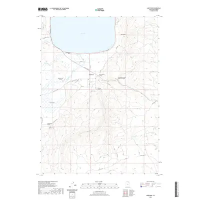 2020 Laketown2020 Print · USGSRich County in the early twenty-first century remains anchored by the waters of Bear Lake and the agricultural life of the valleys. Genealogists and historians can trace the local lineage at Laketown Cem or explore the drainage systems of Old Laketown Canyon.
 - 2020 Map of Francis Canyon, 2020 Print
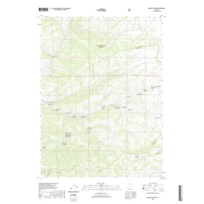 2020 Francis Canyon2020 Print · USGSSummit County and the neighboring high country are seen here in recent years, where three county lines meet in the Cache National Forest. Researchers can trace old mountain routes and water sources like Yellowstone Spring, Mine Hollow, and Francis Canyon.
 - 2020 Map of Meadowville, 2020 Print
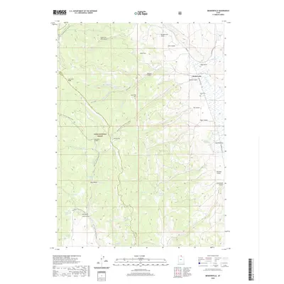 2020 Meadowville2020 Print · USGSMeadowville and the surrounding high valleys of Rich County are captured here in the early twenty-first century as a landscape of mountain recreation and ranching history. Researchers can locate the Meadowville Cem, trace the Sinks Trail Winter Sport, and explore landmarks like Baker Knoll and Temple Canyon.
 - 2020 Map of Shearing Corral, 2020 Print
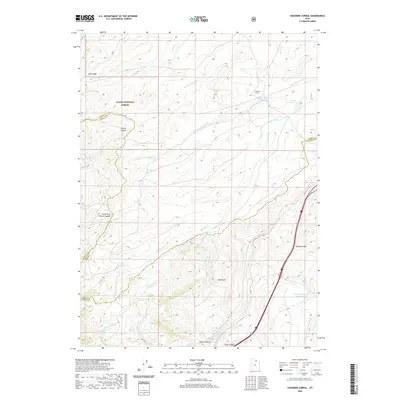 2020 Shearing Corral2020 Print · USGSSummit County high country meets the borders of Rich and Morgan counties in this contemporary survey of the Cache National Forest. Researchers can trace the rugged livestock infrastructure of the region, from the Shearing Corral to family-named landmarks like Heiners Springs and Suttons Reservoir.
 - 2020 Map of McKay Hollow, 2020 Print
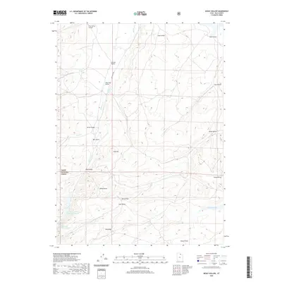 2020 McKay Hollow2020 Print · USGSRich County ranching and forest lands are detailed here in the early twenty-first century. Researchers can trace the water-rights history of the high country through features like Saleratus Reservoir Number 2, Crane Reservoir, and family-named landmarks like McKay Ridge.
 - 2020 Map of Sage Creek, 2020 Print
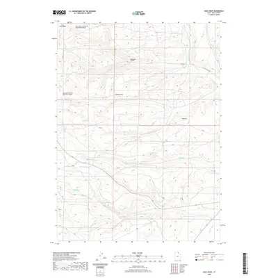 2020 Sage Creek2020 Print · USGSRich County in the early twenty-first century is characterized by a high-desert landscape managed for water and ranching. Trace the complex hydrologic network of Sage Creek Canal, the heights of Hogback Ridge, and the winding Six Mile Creek Rd.
 - 2020 Map of Randolph, 2020 Print
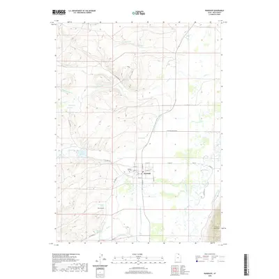 2020 Randolph2020 Print · USGSRandolph sits at the center of a complex irrigation network in Rich County during the early twenty-first century. Genealogists and local historians can trace the town’s layout from the Randolph City Cem to the winding banks of the Bear River and the Sage Cr Canal.
 - 2020 Map of Temple Peak, 2020 Print
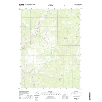 2020 Temple Peak2020 Print · USGSCache County and the high peaks of the Wasatch Range are shown in detail during the early twenty-first century. Researchers can locate family-named landmarks like Maughan Hollow or visit the site of Ephraims Grave near Steel Hollow.
 - 2020 Map of South Lake, 2020 Print
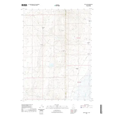 2020 South Lake2020 Print · USGSThe high desert borderlands between Utah and Wyoming are captured here in the recent past, showing the remote drainages of the Bear River basin. Researchers can trace the rugged topography of Lake Ridge and locate vital water sources like Stirrup Spring and South Lake.
 - 2020 Map of Woodruff, 2020 Print
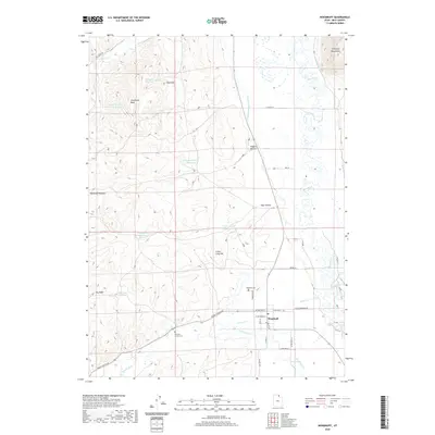 2020 Woodruff2020 Print · USGSRich County ranching and water management are the focus of this contemporary look at the Bear River valley. Genealogists and local historians can locate the Woodruff Cem and Eastman Family Cem, or trace irrigation via the Randolph-Woodruff Canal.
 - 2020 Map of Wahsatch, 2020 Print
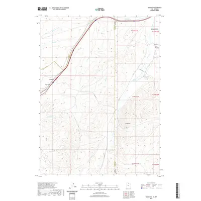 2020 Wahsatch2020 Print · USGSThe high mountain pass at the Utah-Wyoming border comes into focus in this recent survey. Local historians can trace the route of the Lincoln Highway 30 and locate family ranching landmarks near Sulphur Hollow and The Needles.
 - 2020 Map of Horse Ridge, 2020 Print
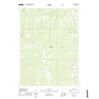 2020 Horse Ridge2020 Print · USGSThe high country of the northern Wasatch Range is mapped here in recent years, showing the intersection of three counties within the Cache National Forest. Researchers can trace the rugged drainages of Sawmill Canyon, locate the remote Wonder Spring, and explore the naming of landmarks like Knighton Ridge.
 - 2020 Map of Dairy Ridge, 2020 Print
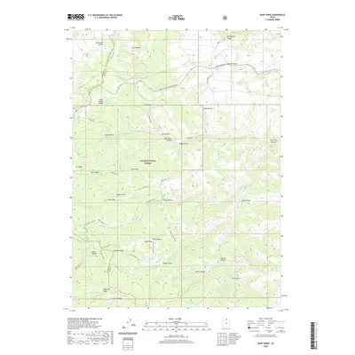 2020 Dairy Ridge2020 Print · USGSHigh-altitude ridges and alpine springs define this northern Utah landscape within the Cache National Forest during the early twenty-first century. Researchers can trace the drainage of Woodruff Cr and locate high-country landmarks like Eccles Peak and the Dairy Ridge Reservoir.
 - 2020 Map of Bear Lake South, 2020 Print
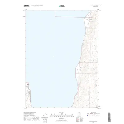 2020 Bear Lake South2020 Print · USGSThe southwestern and eastern shores of Bear Lake are documented here in the early twenty-first century. Researchers can trace the development of Garden City and follow the rural routes through North Eden Canyon to Cisco Beach.
 - 2020 Map of Sheeppen Creek, 2020 Print
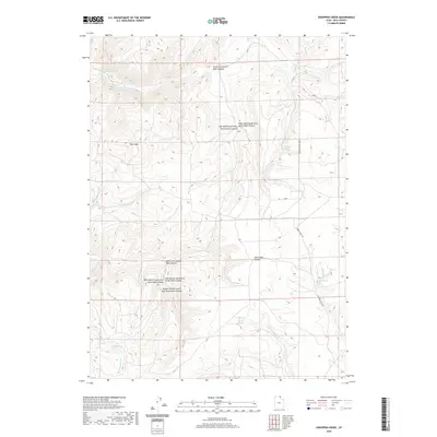 2020 Sheeppen Creek2020 Print · USGSHigh-altitude ranching and watershed management define this portion of Rich County as it appeared in the early twenty-first century. Researchers can trace land use through landmarks like Peterson Dry Farms and vital water sources such as Lower North Eden Reservoir and Cottonwood Spring.
 - 2020 Map of Rex Peak, 2020 Print
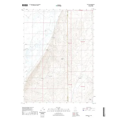 2020 Rex Peak2020 Print · USGSThe high desert borderlands where Utah and Wyoming meet were a focal point for early water engineering. Trace the legacy of historic ranching through irrigation works like the Rex Canal and landmarks such as the Crawford Mountains and Rex Peak.
 - 2020 Map of Red Spur Mountain, 2020 Print
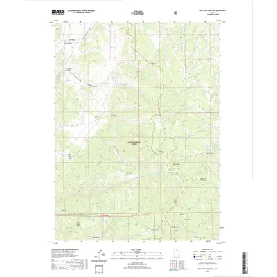 2020 Red Spur Mountain2020 Print · USGSThe high country of the Utah-Idaho borderlands is mapped here in the modern era, showing a landscape of forest management and winter recreation. Trace the history of mountain industry and water use via Baxter Sawmill, Green Fork Reservoir, and Bug Lake.
 - 2020 Map of Neponset Reservoir NE, 2020 Print
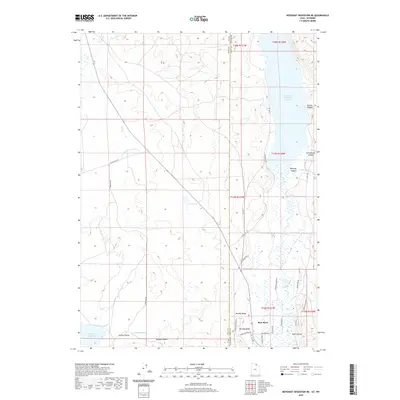 2020 Neponset Reservoir NE2020 Print · USGSThe high valley along the Utah-Wyoming border is captured here during the early twenty-first century, showing a landscape shaped by water and ranching. Researchers can trace land use through features like Murphy Ridge, the Chapman Canal, and Woodruff Narrows Reservoir.
 - 2020 Map of Neponset Reservoir NW, 2020 Print
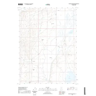 2020 Neponset Reservoir NW2020 Print · USGSRich County ranch lands and vital water resources are documented here in the early twenty-first century. Researchers can trace the legacy of regional land use through features like the Co-Op Ditch, Home Ranch Rd, and the Neponset Reservoir.
 - 2020 Map of Murphy Ridge, 2020 Print
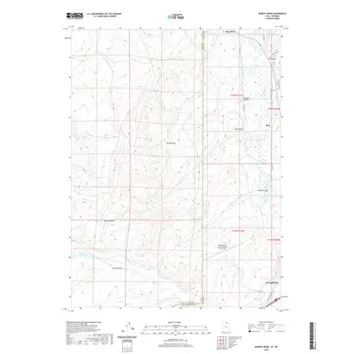 2020 Murphy Ridge2020 Print · USGSThe high desert landscape north of Evanston comes into focus in this recent survey, showcasing the area's complex water and transport systems. Genealogists and researchers can trace the historic Lincoln Highway and locate the Almy Cem near the riverbanks of the Bear River.
 - 2020 Map of Monte Cristo Peak, 2020 Print
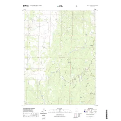 2020 Monte Cristo Peak2020 Print · USGSThe high backcountry of the Monte Cristo Range is captured here in the early twenty-first century as a hub for watershed management and seasonal recreation. Researchers can trace historic access routes and water sources like Dry Bread Pond, Ant Valley, and Bluebell Spring.
 - 2020 Map of Curtis Ridge, 2020 Print
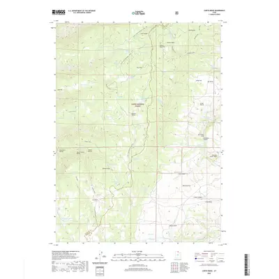 2020 Curtis Ridge2020 Print · USGSThe high country of the Wasatch Range comes alive in this contemporary look at the Cache and Rich County line. Trace the geography of the Monte Cristo Range through local landmarks like Hardware Ranch, Woodruff Park, and the unique Thousand Dollar Ridge.
 - 2020 Map of Peck Canyon, 2020 Print
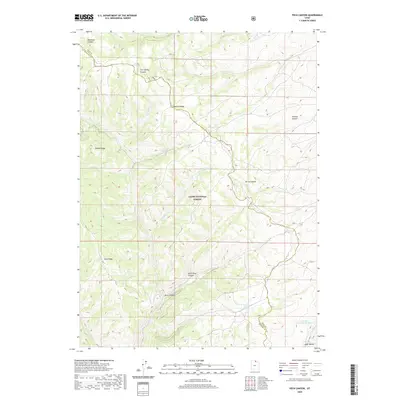 2020 Peck Canyon2020 Print · USGSMorgan County’s high ridgelines and deep canyons are preserved here during the early twenty-first century. Researchers can trace historic water routes and topographic landmarks from Wasatch Ridge to the waters of Saleratus Reservoir Number 3.
 - 2020 Map of Old Canyon, 2020 Print
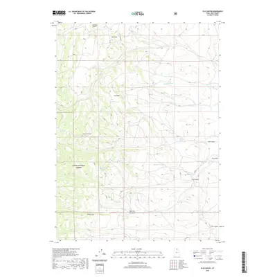 2020 Old Canyon2020 Print · USGSRich County's high-mountain backcountry is documented here during the early twenty-first century, showing the intersection of forest management and natural topography. Researchers can trace historic access routes along Long Ridge or locate named water sources like Nick Reservoir and Clawson Spring.
 - 2020 Map of Meachum Ridge, 2020 Print
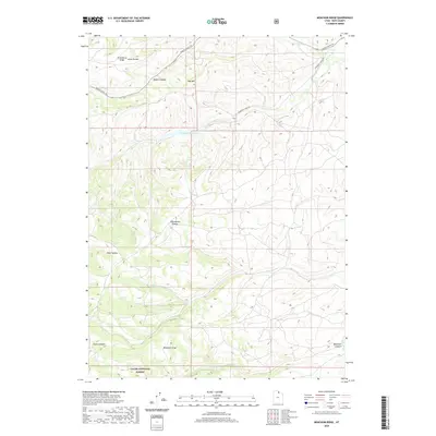 2020 Meachum Ridge2020 Print · USGSRich County's high-elevation drainages and forest lands are documented here in the early twenty-first century. Researchers can trace the rugged network of forest routes like Monte Cristo Rd or locate landmarks such as Woodruff Reservoir and Meachum Ridge.
Showing maps 1-25 of 66
Top cities of Rich County
Frequently asked questions
- What are the different types of historical maps available for Rich County?
- What is the oldest map of Rich County?
- Where can I purchase historical maps of Rich County for my home or office?
- Where can I download high-res historical maps of Rich County?
- Are there historical topographic maps available for Rich County?
- Is there historical aerial imagery available for Rich County?
- Where are historical maps of Rich County sourced from?