2010s Maps of Rich County, Utah
Explore 104 historic maps of Rich County from the 2010s. These maps offer a rare glimpse into what life looked like during the 2010s — showing old roads, neighborhoods, homes, and landmarks that have changed or disappeared over time.
Whether you're researching your family's past, planning a metal detecting trip, or studying how Rich County's landscape evolved across the 2010s, these high-resolution maps are a powerful tool for exploring the history of this region.
- Focus on a specific era: All maps on this page are from the 2010s, giving you a focused view of this time period.
- See what’s changed: Compare century-old streets, trails, and buildings to today's modern landscape using overlays and satellite layers.
- Research with precision: Use these maps for genealogy, historical research, land use analysis, or educational projects.
- View, download, or print: Maps are fully viewable online in high resolution, and can be downloaded or printed for your own records.
Start exploring Rich County's history through authentic maps from the 2010s. This is your window into the past.
Rich County, UT maps
(104)- 2010 Map of Murphy Ridge, 2010 Print
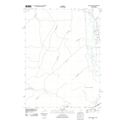 2010 Murphy Ridge2010 Print · USGSUinta County mining history and the Bear River valley are preserved here in the first decade of the millennium. Researchers can trace the industrial footprint of the Almy Number Seven Mine or locate family records at the Almy Cemetery.
 - 2010 Map of Neponset Reservoir NW, 2010 Print
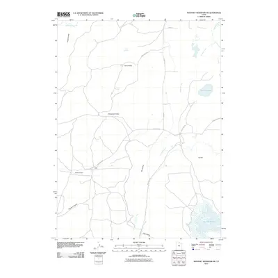 2010 Neponset Reservoir NW2010 Print · USGSRich County ranching country is documented here in the early twenty-first century, showcasing a landscape of high-altitude basins and vital water resources. Researchers can trace the layout of the Home Ranch and its connection to Neponset Reservoir and Big Meadow.
 - 2010 Map of Sheeppen Creek, 2010 Print
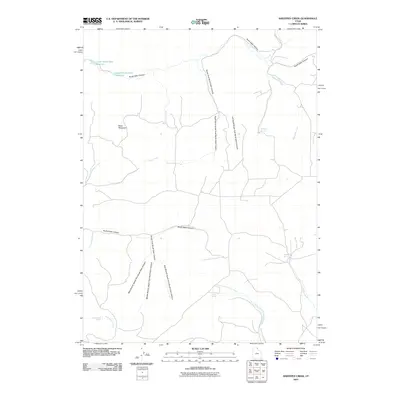 2010 Sheeppen Creek2010 Print · USGSRich County, Utah, is mapped here in the early twenty-first century, showing a landscape defined by deep canyons and critical desert water sources. Researchers can trace the rugged tracks of Poverty Flat Rd to reach Lower North Eden Reservoir and Shirley Spring.
 - 2010 Map of Leefe, 2010 Print
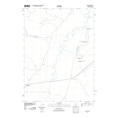 2010 Leefe2010 Print · USGSThe Wyoming-Utah borderlands are defined by industrial phosphate extraction and river meanders in the early twenty-first century. Researchers can trace the extensive operations of the San Francisco Chemical Company near Leefe and Sage Creek Junction.
 - 2010 Map of Sage Creek, 2010 Print
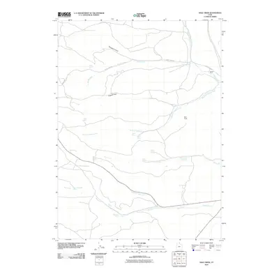 2010 Sage Creek2010 Print · USGSRich County ranching lands and high-altitude drainage systems are detailed here in the first decade of the millennium. Genealogists and historians can locate remote outposts like Sixmile Ranch and trace the vital network of water sources including Sage Creek Spring and Rabbit Spring.
 - 2010 Map of Bear Lake South, 2010 Print
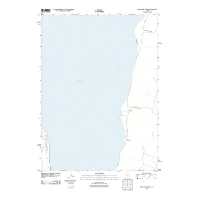 2010 Bear Lake South2010 Print · USGSThe eastern shores of Bear Lake are captured here at the start of the decade, showing the intersection of public recreation and private ranch lands. Trace the road network along Cisco Beach or locate local landmarks like Nebeker Ranch and South Eden Canyon.
 - 2010 Map of Wahsatch, 2010 Print
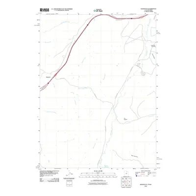 2010 Wahsatch2010 Print · USGSThe high country of the Utah-Wyoming border comes into focus in this modern survey, centered on the strategic pass at Wahsatch. Researchers can trace the rugged geography of Echo Canyon and locate distinctive landmarks like The Needles and Barker Reservoir.
 - 2010 Map of Laketown, 2010 Print
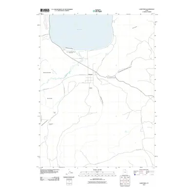 2010 Laketown2010 Print · USGSRich County’s southern lakeshore and ranching valleys are documented here during the early twenty-first century. Researchers can locate family sites and rural landmarks from Laketown to Round Valley Cemetery, as well as recreation points like Rendezvous Beach.
 - 2010 Map of Neponset Reservoir NE, 2010 Print
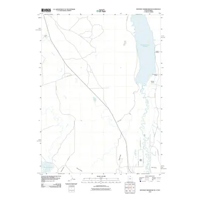 2010 Neponset Reservoir NE2010 Print · USGSHigh desert ranching and water management define this Wyoming-Utah borderlands region during the early twenty-first century. Researchers can trace the winding Bear River or locate local landmarks like Highway Ranch, Woodruff Narrows Reservoir, and Murphy Ridge.
 - 2010 Map of South Lake, 2010 Print
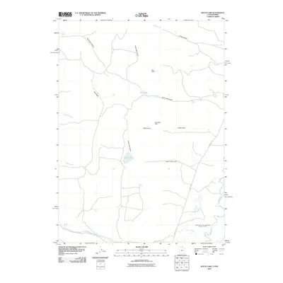 2010 South Lake2010 Print · USGSThe high-desert terrain of Lincoln County is documented here at the start of the 2010s, showing a landscape shaped by water and industry. Researchers can trace the industrial footprint of the San Francisco Chemical Company Number Four Mine or locate secluded water sources like Stirrup Spring and South Lake.
 - 2011 Map of Rex Peak, 2011 Print
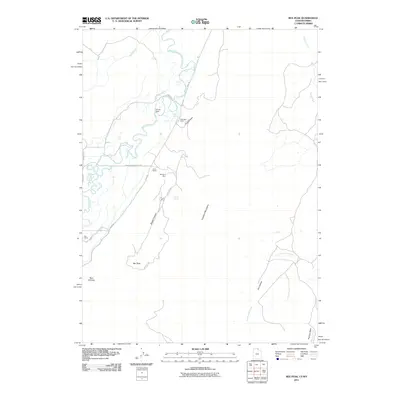 2011 Rex Peak2011 Print · USGSThe high desert along the Wyoming and Utah border comes into focus in this early 21st-century survey. Genealogists and historians can trace family-named sites such as Kearl Ranch alongside industrial landmarks like Cherokee Mine and Frank Mine.
 - 2011 Map of Woodruff, 2011 Print
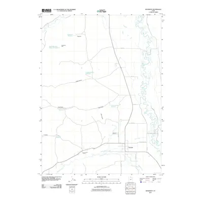 2011 Woodruff2011 Print · USGSWoodruff and the Bear River valley are shown here in the early twenty-first century, revealing a rural landscape shaped by ranching and mountain water. Genealogists can locate family sites like the Eastman Family Cemetery or trace landmarks such as Limestone Peak and Little Crawford Mountain.
 - 2011 Map of Randolph, 2011 Print
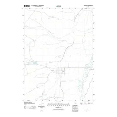 2011 Randolph2011 Print · USGSRandolph and its surrounding ranchlands are captured in detail during the early 21st century, showing a landscape defined by the Bear River and local irrigation. Researchers can locate the Randolph City Cemetery, trace family-named markers like Rex Ranch, or explore the geography of Little Creek Reservoir.
 - 2011 Map of Woodruff Narrows, 2011 Print
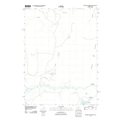 2011 Woodruff Narrows2011 Print · USGSUinta County water management and high-country passes are documented here in the early twenty-first century. Researchers can trace the drainage of Cottonwood Creek and locate family-named landmarks like Hanks Hill and Gil Smith Spring.
 - 2011 Map of Saint Charles, 2011 Print
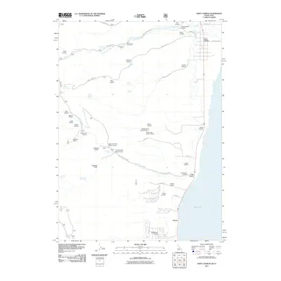 2011 Saint Charles2011 Print · USGSThe western shores of Bear Lake and the rugged canyons of the Idaho-Utah border are captured here in the early twenty-first century. Genealogists and local historians can trace family-named landmarks like Sams Hollow and Williamson Hollow or locate the historic Blackstone Mine.
 - 2011 Map of Birch Creek Reservoirs, 2011 Print
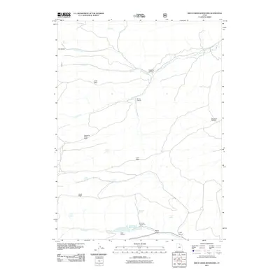 2011 Birch Creek Reservoirs2011 Print · USGSRich County's high-country hydrology is on full display here in the early twenty-first century. Researchers can trace the water sources and grazing lands that shaped this area, from Birch Creek Reservoirs to named springs like Trough Spring and the expansive Woodruff Pastures.
 - 2011 Map of Temple Peak, 2011 Print
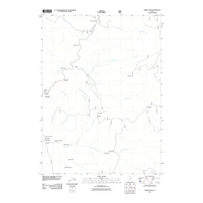 2011 Temple Peak2011 Print · USGSThe high canyons and watercourses of Cache County are detailed in this early twenty-first-century survey. Researchers can trace land use through features like Twin Creek Corral, Brachipad Summer Home Area, and the Lomia Girlscamp.
 - 2011 Map of Meachum Ridge, 2011 Print
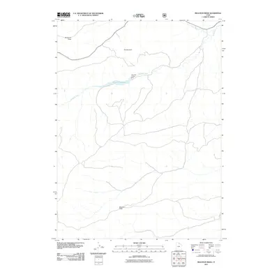 2011 Meachum Ridge2011 Print · USGSNorthern Utah in the early 21st century is defined by high ridges and vital water management. Trace the landscape from Meachum Ridge to the Woodruff Reservoir and its namesake Woodruff Creek Dam.
 - 2011 Map of Francis Canyon, 2011 Print
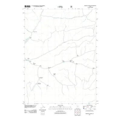 2011 Francis Canyon2011 Print · USGSUpper Summit County at the start of the 2010s is a landscape defined by high-country hydrology and forest recreation. Map collectors and researchers can trace the intricate drainages of Squaw Creek and Trail Creek or locate landmarks like Doc Dorlands Hollow and the Lost Creek Campground.
 - 2011 Map of McKay Hollow, 2011 Print
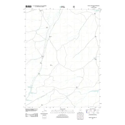 2011 McKay Hollow2011 Print · USGSRich County ranching country is captured here during the early twenty-first century, showing a landscape shaped by water rights and rugged geography. Genealogists and historians can trace the network of vital water sources and family-named landmarks like McKay Ridge, Negro Dan Spring, and Neponset Reservoir.
 - 2011 Map of Peck Canyon, 2011 Print
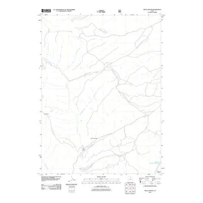 2011 Peck Canyon2011 Print · USGSMorgan County, Utah, was recorded in the early twenty-first century as a land of vital creek networks and managed water resources. Researchers can trace the drainage of Peck Canyon and locate landmarks like Saleratus Reservoir Number 3 and Sawmill Creek.
 - 2011 Map of Meadowville, 2011 Print
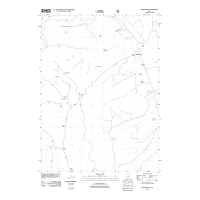 2011 Meadowville2011 Print · USGSMeadowville and the high flats of Rich County are documented here in the early twenty-first century. Researchers can locate Meadowville Cemetery, trace the roads leading to Cook Ranch, and explore the topography of Log Cabin Ridge and Temple Flat.
 - 2011 Map of Old Canyon, 2011 Print
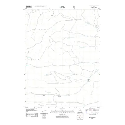 2011 Old Canyon2011 Print · USGSRich County's high country is captured here in the early 21st century, showing a landscape defined by ranching water sources and mountain peaks. Researchers can locate remote landmarks like Monument Peak, Nick Reservoir, and Old Canyon.
 - 2011 Map of Garden City, 2011 Print
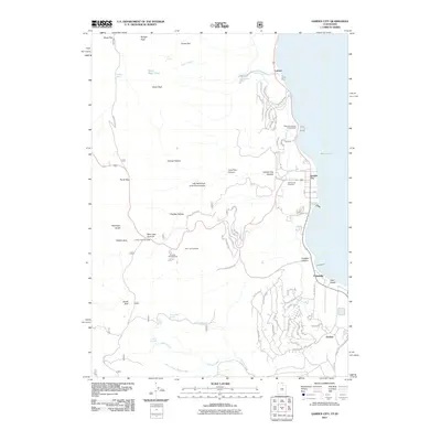 2011 Garden City2011 Print · USGSBear Lake's western shoreline in the early 2010s shows a unique mix of high-desert recreation and mountain wilderness. Researchers can trace local landmarks like the Garden City Cemetery, Camp Hunt, and family-named terrain such as Richardson Fork and Cheney Creek.
 - 2011 Map of Horse Ridge, 2011 Print
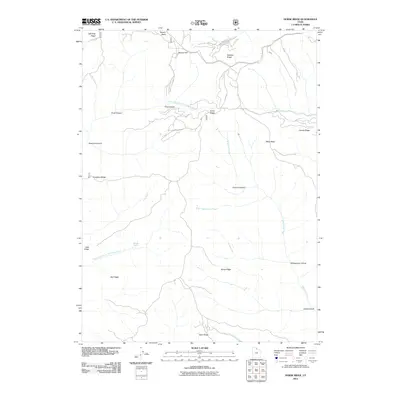 2011 Horse Ridge2011 Print · USGSThe high ridges of eastern Weber County are revealed in the early twenty-first century, showing the rugged headwaters of the Ogden River. Researchers can trace historic mountain routes and local landmarks like Wonder Spring, Squaw Flat, and the namesake Horse Ridge.
Showing maps 1-25 of 104
Top cities of Rich County
Frequently asked questions
- What are the different types of historical maps available for Rich County?
- What is the oldest map of Rich County?
- Where can I purchase historical maps of Rich County for my home or office?
- Where can I download high-res historical maps of Rich County?
- Are there historical topographic maps available for Rich County?
- Is there historical aerial imagery available for Rich County?
- Where are historical maps of Rich County sourced from?