2000s (21st Century) Maps of Rich County, Utah
Explore 51 historic maps of Rich County from the 2000s (21st Century). These maps offer a rare glimpse into what life looked like during the 2000s — showing old roads, neighborhoods, homes, and landmarks that have changed or disappeared over time.
Whether you're researching your family's past, planning a metal detecting trip, or studying how Rich County's landscape evolved across the 2000s, these high-resolution maps are a powerful tool for exploring the history of this region.
- Focus on a specific era: All maps on this page are from the 2000s, giving you a focused view of this time period.
- See what’s changed: Compare century-old streets, trails, and buildings to today's modern landscape using overlays and satellite layers.
- Research with precision: Use these maps for genealogy, historical research, land use analysis, or educational projects.
- View, download, or print: Maps are fully viewable online in high resolution, and can be downloaded or printed for your own records.
Start exploring Rich County's history through authentic maps from the 2000s. This is your window into the past.
Rich County, UT maps
(51)- 2005 Map of Saint Charles, 2007 Print
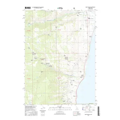
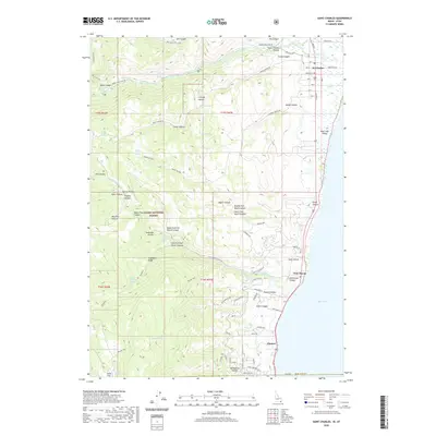
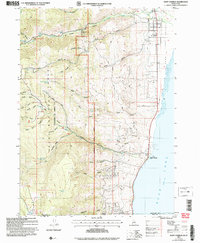 2005 Saint Charles2007 Print · USGSAlong the Idaho-Utah border in the early 2000s, the western shore of Bear Lake remained a mix of forest management and lakeside settlement. Genealogists and researchers can trace local landmarks like Blackstone Mine, the historic St Charles townsite, and rural sites such as Swan Flat.
 - 2011 Map of Saint Charles, 2011 Print
 2011 Saint Charles2011 Print · USGSCovers Rich County, including Glencoe, Fish Haven, and other nearby areas
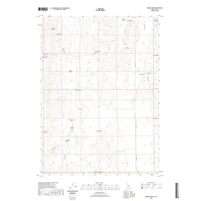
 - 2011 Map of Pegram Creek, 2011 Print
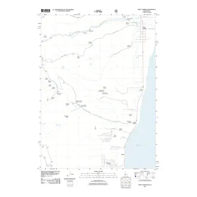
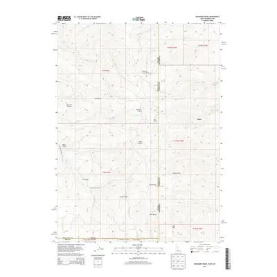
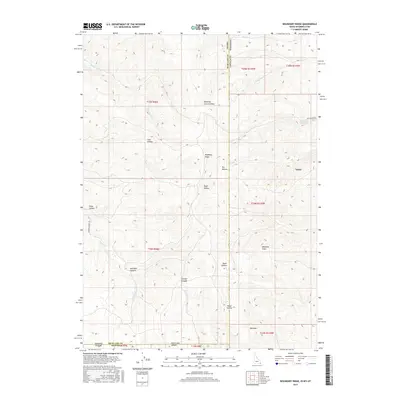
 2011 Pegram Creek2011 Print · USGSCovers Rich County, including Bear Lake County, United States, and other nearby areas
 - 2011 Map of Bear Lake North, 2011 Print
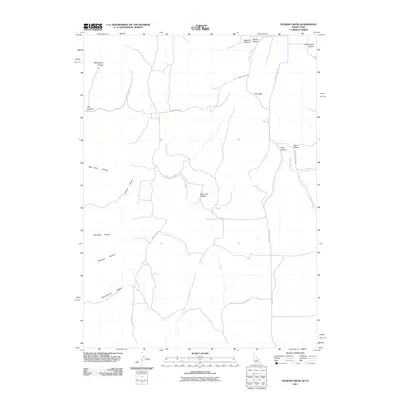
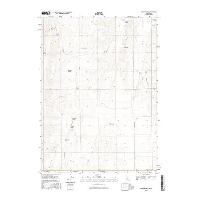
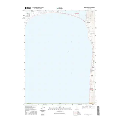
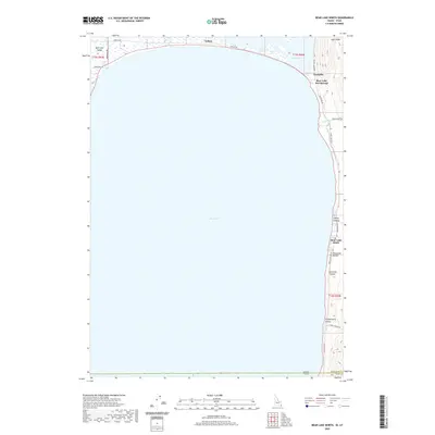
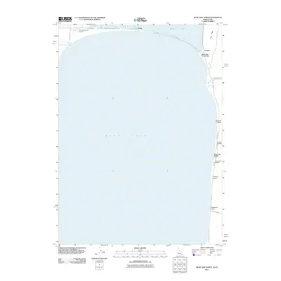 2011 Bear Lake North2011 Print · USGSCovers Rich County, including Bear Lake Sands, Bear Lake County, and other nearby areas
 - 2011 Map of Boundary Ridge, 2011 Print
 2011 Boundary Ridge2011 Print · USGSCovers Rich County, including Lincoln County, Bear Lake County, and other nearby areas
 - 2013 Map of Bear Lake North, 2013 Print
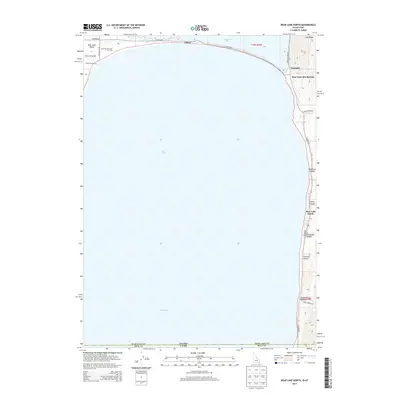 2013 Bear Lake North2013 Print · USGSCovers Rich County, including Bear Lake Sands, Bear Lake County, and other nearby areas
 - 2013 Map of Pegram Creek, 2013 Print
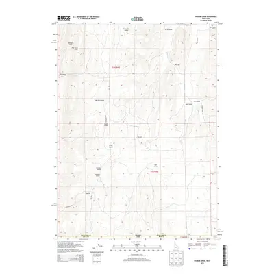 2013 Pegram Creek2013 Print · USGSCovers Rich County, including Bear Lake County, United States, and other nearby areas
 - 2013 Map of Saint Charles, 2013 Print
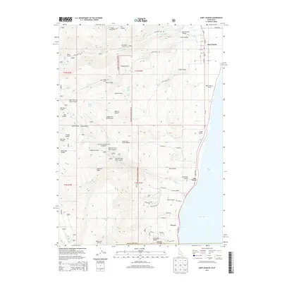 2013 Saint Charles2013 Print · USGSCovers Rich County, including Glencoe, Fish Haven, and other nearby areas
 - 2013 Map of Boundary Ridge, 2013 Print
 2013 Boundary Ridge2013 Print · USGSCovers Rich County, including Lincoln County, Bear Lake County, and other nearby areas
 - 2017 Map of Saint Charles, 2017 Print
 2017 Saint Charles2017 Print · USGSCovers Rich County, including Glencoe, Fish Haven, and other nearby areas
 - 2017 Map of Boundary Ridge, 2017 Print
 2017 Boundary Ridge2017 Print · USGSCovers Rich County, including Lincoln County, Bear Lake County, and other nearby areas
 - 2017 Map of Pegram Creek, 2017 Print
 2017 Pegram Creek2017 Print · USGSCovers Rich County, including Bear Lake County, United States, and other nearby areas
 - 2017 Map of Bear Lake North, 2017 Print
 2017 Bear Lake North2017 Print · USGSCovers Rich County, including Bear Lake Sands, Bear Lake County, and other nearby areas
 - 2020 Map of Bear Lake North, 2020 Print
 2020 Bear Lake North2020 Print · USGSCovers Rich County, including Bear Lake Sands, Bear Lake County, and other nearby areas
 - 2020 Map of Boundary Ridge, 2020 Print
 2020 Boundary Ridge2020 Print · USGSCovers Rich County, including Lincoln County, Bear Lake County, and other nearby areas
 - 2020 Map of Saint Charles, 2020 Print
 2020 Saint Charles2020 Print · USGSCovers Rich County, including Glencoe, Fish Haven, and other nearby areas
 - 2020 Map of Pegram Creek, 2020 Print
 2020 Pegram Creek2020 Print · USGSCovers Rich County, including Bear Lake County, United States, and other nearby areas
 - 2021 Map of Leefe, 2021 Print
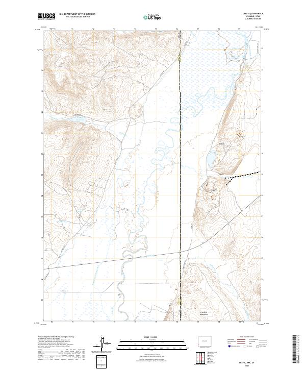 2021 Leefe2021 Print · USGSThe high desert borderlands between Wyoming and Utah are captured here in the early 21st century. Researchers can trace the extensive irrigation networks of the Bear River valley and find landmarks like Leefe, McKinnon Spring, and the Crawford Mountains.
 - 2021 Map of Woodruff Narrows, 2021 Print
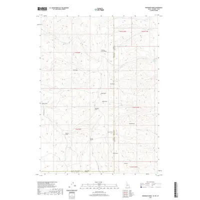
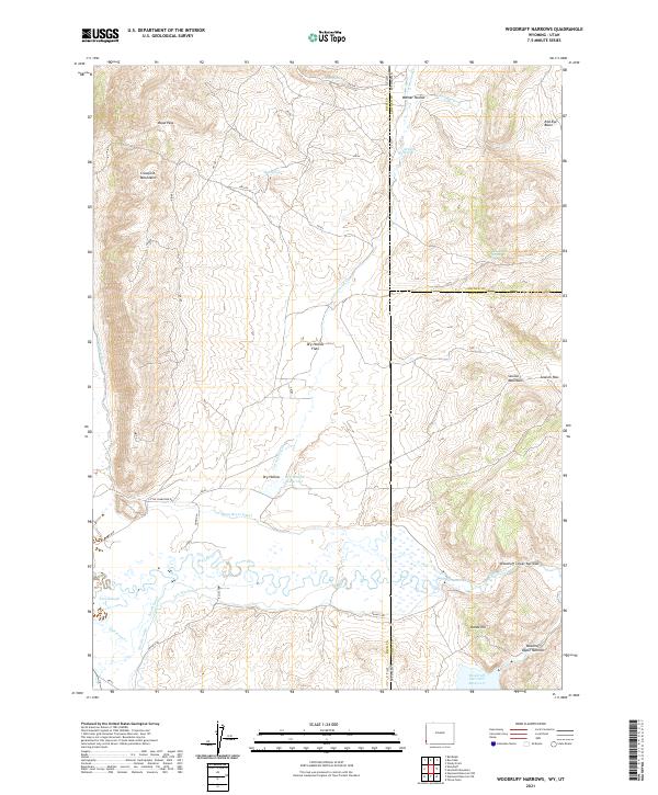 2021 Woodruff Narrows2021 Print · USGSThe Utah-Wyoming border comes alive in this survey of high-desert water management and mountain passes. Trace the intricate irrigation network of the Bear River Canal and Sidehill Ditch as they wind toward Woodruff Narrows Reservoir.
 - 2023 Map of Woodruff, 2023 Print
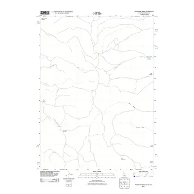
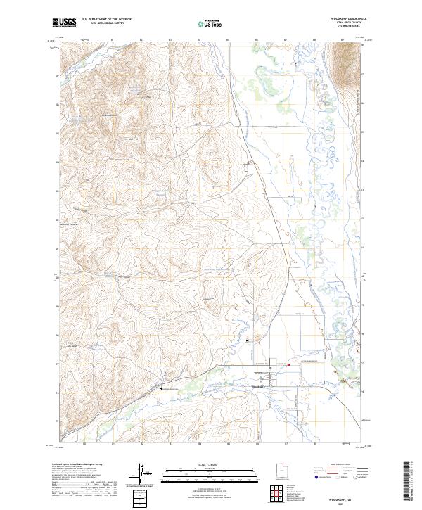 2023 Woodruff2023 Print · USGSIn the modern era, Woodruff remains a landscape defined by its intricate water systems and pioneer roots. Genealogists and local historians can trace family ties at the Woodruff Cem and Eastman Family Cem or study the extensive irrigation works of the Randolph Woodruff Canal.
 - 2023 Map of Randolph, 2023 Print
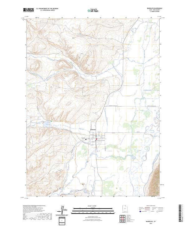 2023 Randolph2023 Print · USGSRandolph and the Bear River valley are shown in the early 2020s amidst an extensive network of historic canals and springs. Researchers can trace local lineage and land use through landmarks like the Randolph City Cem, the Rich County Court House, and the Little Creek Reservoir.
 - 2023 Map of Old Canyon, 2023 Print
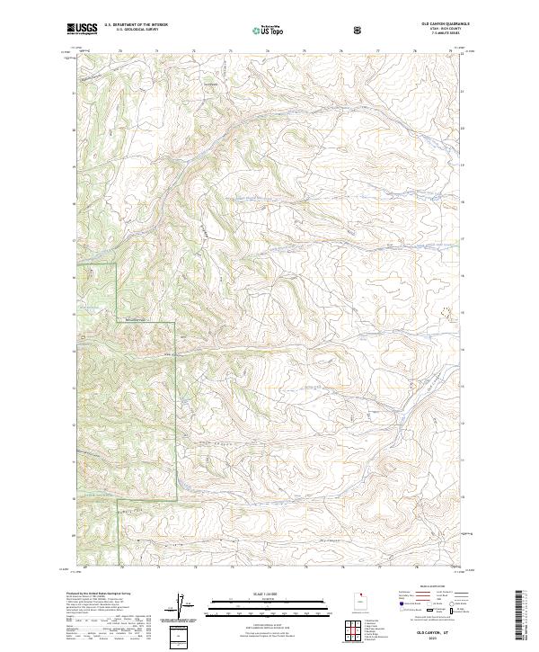 2023 Old Canyon2023 Print · USGSThe Rich County highlands and Cache National Forest come to life in this modern survey of northern Utah. Trace the drainages of Otter Creek and find water sources from Nick Reservoir to Clawson Spring among the peaks of Long Ridge.
 - 2023 Map of Bear Lake South, 2023 Print
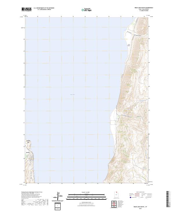 2023 Bear Lake South2023 Print · USGSThe southern shores of Bear Lake at the turn of the 2020s reveal a landscape of both growing lakeside communities and steep canyon terrain. Trace local landmarks like Garden City and Cisco Beach, or follow the high ridges of North Eden Canyon and the Bear River Range.
 - 2023 Map of Sheeppen Creek, 2023 Print
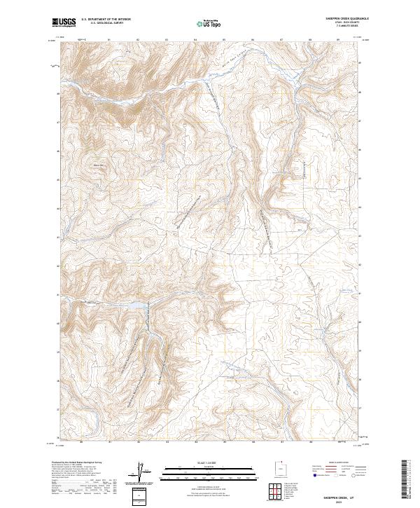 2023 Sheeppen Creek2023 Print · USGSRich County upland territory is revealed in this modern survey of the canyons and water management systems east of Bear Lake. Researchers can trace the layout of the Peterson Dry Farms or locate remote water sources like Rabbit Spring and South Eden Reservoir.
 - 2023 Map of Dairy Ridge, 2023 Print
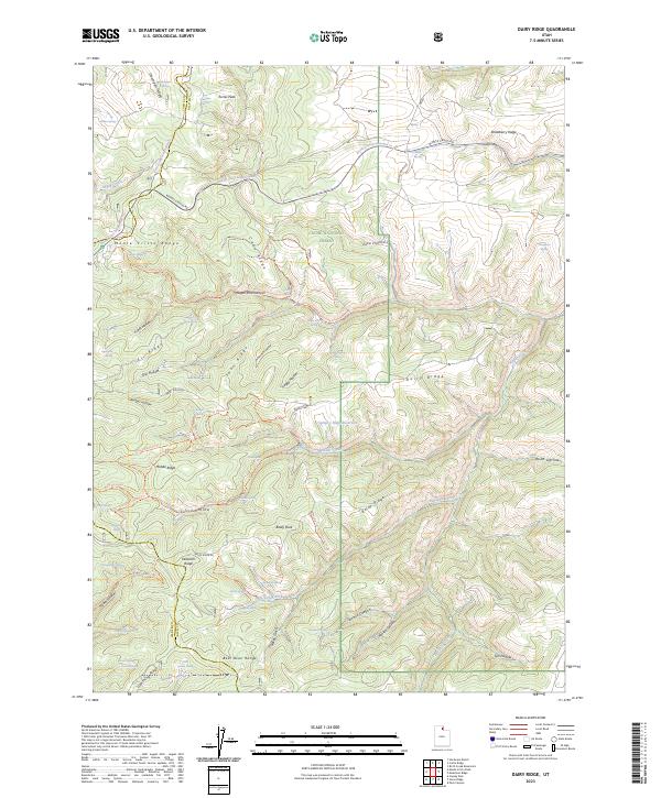 2023 Dairy Ridge2023 Print · USGSHigh mountain ridges and national forest lands define this part of the Wasatch Range in northern Utah during the early twenty-first century. Genealogists and researchers can trace historical county lines and seasonal access routes like Monte Cristo Rd and the Silvia Powerline Trl.
Showing maps 1-25 of 51
Top cities of Rich County
Frequently asked questions
- What are the different types of historical maps available for Rich County?
- What is the oldest map of Rich County?
- Where can I purchase historical maps of Rich County for my home or office?
- Where can I download high-res historical maps of Rich County?
- Are there historical topographic maps available for Rich County?
- Is there historical aerial imagery available for Rich County?
- Where are historical maps of Rich County sourced from?