Old Maps of Halchita, Utah for Hiking & Exploration
Hike through history with 17 historic maps of Halchita. Explore old trails, ghost towns, and forgotten backroads — perfect for outdoor adventurers and local explorers.
- Rediscover forgotten places: Map out old mining camps, roads, and footpaths that no longer exist on modern maps.
- Layer with modern tools: Combine with LiDAR or satellite views to plan hikes through historical terrain.
- Made for exploration: Popular among hikers, overlanders, and local history lovers.
Use these maps to find adventure and explore the hidden past of Halchita.
Halchita, UT maps
(17)- 1886 Map of Abajo
 1886 Abajo1886 Print · USGSSoutheastern Utah appears here in the late frontier era, centered on the early settlement of Bluff City along the San Juan River. Researchers can trace the path of the Old Spanish Trail or locate remote landmarks like Orejas del Oso and Abajo Peak.
 - 1892 Map of Abajo
 1892 Abajo1892 Print · USGSSoutheastern Utah in the 1890s remained a remote frontier where settlement followed the river and historic paths. Researchers can trace early routes like the Old Spanish Trail and find the riverside location of Bluff City below the Abajo Mts.
 - 1893 Map of Abajo
 1893 Abajo1893 Print · USGSSoutheastern Utah and the Colorado border are documented in the late nineteenth century during a time of early settlement and regional surveying. Researchers can trace the path of the Old Spanish Trail and locate early sites like Bluff City near the Navajo Indian Res. Line.5 unique versions available
 - 1952 Map of Bluff 3 SW, 1954 Print
 1952 Bluff 3 SW1954 Print · USGSSan Juan County within the Navajo Indian Reservation is captured here in the early fifties during a period of preliminary topographic mapping. Researchers can trace the rugged drainage systems of Stage Coach Wash and Hilkito Wash alongside a solitary Jeep Trail.
 - 1956 Map of Cortez, 1972 Print
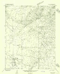
 1956 Cortez1972 Print · USGSThe Four Corners region comes alive in this mid-century study of the high plateaus and deep canyons surrounding Cortez. Trace the development of desert outposts like Towaoc or follow the historic Laramie Trail across a landscape dotted with ancient sites at Mesa Verde National Park.2 unique versions available
 - 1958 Map of Cortez
 1958 Cortez1958 Print · USGSThe Four Corners region comes alive in the late fifties, showing the interplay between expanding mountain settlements and ancient archeological sites. Trace the layout of Cortez, Monticello, and Blanding alongside landmarks like Mesa Verde National Park and Fort Lewis A&M College.
 - 1959 Map of Cortez
 1959 Cortez1959 Print · USGSThe Four Corners region in the late fifties was a landscape of ancestral sites and isolated ranching outposts. Genealogists and historians can trace the early footprints of Cortez, Towaoc, and Mexican Hat alongside the canyons of the San Juan River.2 unique versions available
 - 1962 Map of Cortez
 1962 Cortez1962 Print · USGSThe Four Corners region comes alive in the early sixties, showing a landscape defined by reservation lands and federal forests. Trace the route of the Rio Grande Southern RR or locate the Uranium and vanadium mines near Monticello.
 - 1963 Map of Mexican Hat, 1965 Print
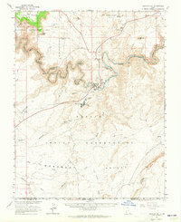 1963 Mexican Hat1965 Print · USGSSoutheastern Utah and the Navajo Nation meet at the San Juan River during the height of the mid-century uranium era. Genealogists and historians can trace old landmarks like Raplees Stone House (Ruins), the Mexican Hat PO, and early industrial features including the Tailings Ponds.3 unique versions available
 - 1966 Map of Cortez
 1966 Cortez1966 Print · USGSThe Four Corners region in the mid-sixties reveals a landscape of high mesas, tribal lands, and archaeological preserves. Researchers can trace the ancient sites at Hovenweep National Monument, follow the Denver & Rio Grande Western Railroad, or locate old settlements like Ginger Hill and Yellow Jacket.
 - 1983 Map of Bluff
 1983 Bluff1983 Print · USGSThe San Juan River country in the early 1980s reveals a landscape of high mesas and indigenous settlements. Trace the rugged terrain of Comb Ridge, locate the Hatch Trading Post, and explore the roads connecting Bluff to Mexican Hat.2 unique versions available
 - 1988 Map of Mexican Hat SW
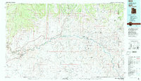
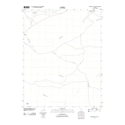
 1988 Mexican Hat SW1988 Print · USGSThe Navajo Indian Reservation in San Juan County is documented here during the late eighties, showing the remote settlement of Halchita. Researchers can trace the desert drainage network of Halgaitoh Wash, Eagle Rock Wash, and Gypsum Creek.
 - 2011 Map of Mexican Hat SW, 2011 Print
 2011 Mexican Hat SW2011 Print · USGSCovers Halchita, including San Juan County, United States, and other nearby areas
 - 2014 Map of Mexican Hat SW, 2014 Print
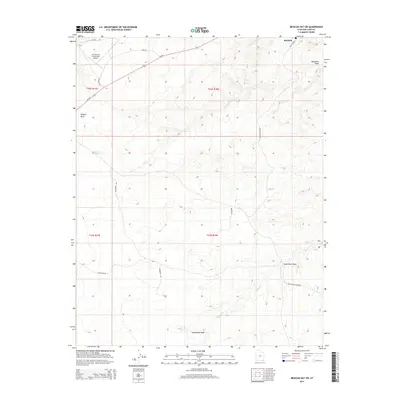 2014 Mexican Hat SW2014 Print · USGSCovers Halchita, including San Juan County, United States, and other nearby areas
 - 2017 Map of Mexican Hat SW, 2017 Print
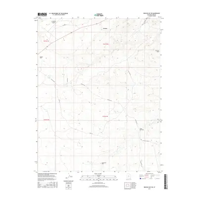 2017 Mexican Hat SW2017 Print · USGSCovers Halchita, including San Juan County, United States, and other nearby areas
 - 2020 Map of Mexican Hat SW, 2020 Print
 2020 Mexican Hat SW2020 Print · USGSCovers Halchita, including San Juan County, United States, and other nearby areas
 - 2023 Map of Mexican Hat SW, 2023 Print
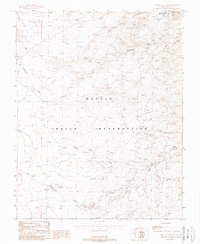
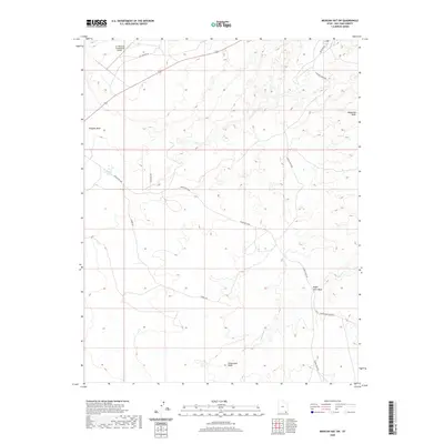
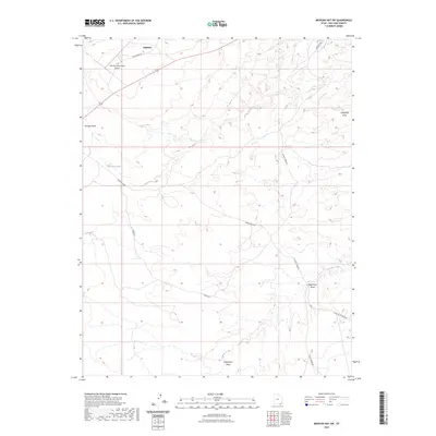 2023 Mexican Hat SW2023 Print · USGSSan Juan County’s high desert comes into focus in this contemporary survey of the area surrounding the settlement of Halchita. Researchers can trace the drainage patterns of Gypsum Creek or locate the A Z Minerals Corporation Airport.
End of results
Showing maps 1-17 of 17
Top cities near Halchita
Frequently asked questions
- What are the different types of historical maps available for Halchita?
- What is the oldest map of Halchita?
- Where can I purchase historical maps of Halchita for my home or office?
- Where can I download high-res historical maps of Halchita?
- Are there historical topographic maps available for Halchita?
- Is there historical aerial imagery available for Halchita?
- Where are historical maps of Halchita sourced from?