2000s (21st Century) Maps of Spring City, Utah
Explore 12 historic maps of Spring City from the 2000s (21st Century). These maps offer a rare glimpse into what life looked like during the 2000s — showing old roads, neighborhoods, homes, and landmarks that have changed or disappeared over time.
Whether you're researching your family's past, planning a metal detecting trip, or studying how Spring City's landscape evolved across the 2000s, these high-resolution maps are a powerful tool for exploring the history of this region.
- Focus on a specific era: All maps on this page are from the 2000s, giving you a focused view of this time period.
- See what’s changed: Compare century-old streets, trails, and buildings to today's modern landscape using overlays and satellite layers.
- Research with precision: Use these maps for genealogy, historical research, land use analysis, or educational projects.
- View, download, or print: Maps are fully viewable online in high resolution, and can be downloaded or printed for your own records.
Start exploring Spring City's history through authentic maps from the 2000s. This is your window into the past.
Spring City, UT maps
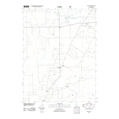
(12)- 2001 Map of Chester, 2004 Print
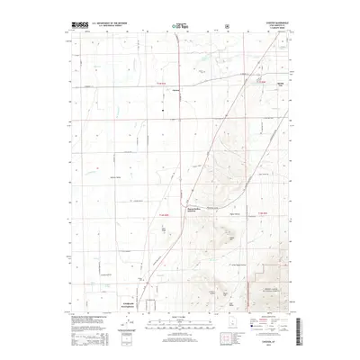
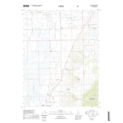
 2001 Chester2004 Print · USGSThe rural heart of Sanpete County is captured here at the turn of the millennium, showing a landscape defined by century-old irrigation and small valley settlements. You can trace the lineage of the land through the Pioneer Cem, the historic Chester PO, and the rail junction at Pigeon Hollow Junction.
 - 2001 Map of Spring City, 2004 Print
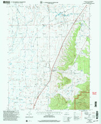
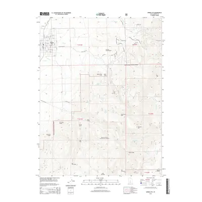
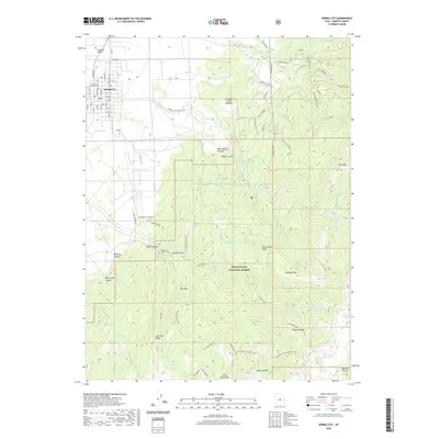
 2001 Spring City2004 Print · USGSThe Sanpete Valley and the high ridges of the Manti-La Sal National Forest are shown in the early 2000s, centered on the historic grid of Spring City. Researchers can trace the extensive irrigation systems like the Oak Creek Canal and find family-named landmarks including Bill Allred Creek.
 - 2011 Map of Chester, 2011 Print
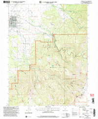
 2011 Chester2011 Print · USGSCovers Spring City, including Ephraim, Pigeon Hollow Junction, and other nearby areas
 - 2011 Map of Spring City, 2011 Print
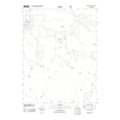 2011 Spring City2011 Print · USGSCovers Spring City, including Sanpete County, United States, and other nearby areas
 - 2014 Map of Spring City, 2014 Print
 2014 Spring City2014 Print · USGSCovers Spring City, including Sanpete County, United States, and other nearby areas
 - 2014 Map of Chester, 2014 Print
 2014 Chester2014 Print · USGSCovers Spring City, including Ephraim, Pigeon Hollow Junction, and other nearby areas
 - 2017 Map of Chester, 2017 Print
 2017 Chester2017 Print · USGSCovers Spring City, including Ephraim, Pigeon Hollow Junction, and other nearby areas
 - 2017 Map of Spring City, 2017 Print
 2017 Spring City2017 Print · USGSCovers Spring City, including Sanpete County, United States, and other nearby areas
 - 2020 Map of Spring City, 2020 Print
 2020 Spring City2020 Print · USGSCovers Spring City, including Sanpete County, United States, and other nearby areas
 - 2020 Map of Chester, 2020 Print
 2020 Chester2020 Print · USGSCovers Spring City, including Ephraim, Pigeon Hollow Junction, and other nearby areas
 - 2023 Map of Chester, 2023 Print
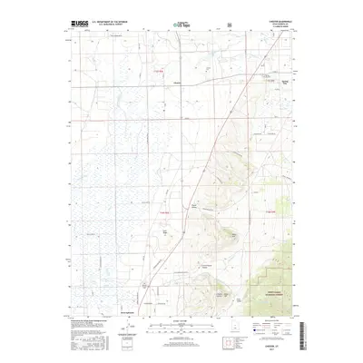
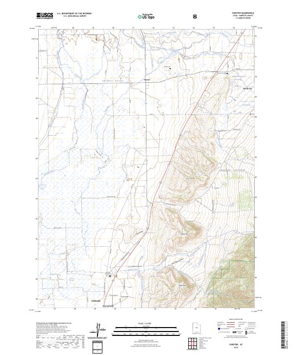 2023 Chester2023 Print · USGSSanpete County is shown here in the contemporary era as a complex tapestry of irrigation and high-valley settlements. Genealogists and local historians can trace family land and heritage at the Ephraim Pioneer Cem, Chester Cem, and along the banks of the San Pitch River.
 - 2023 Map of Spring City, 2023 Print
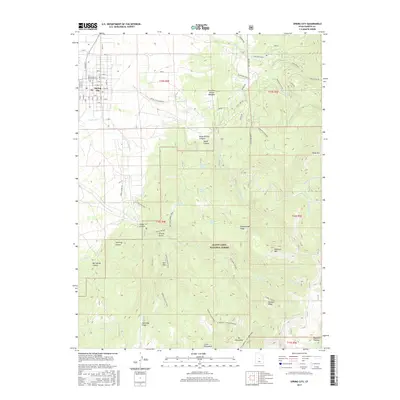
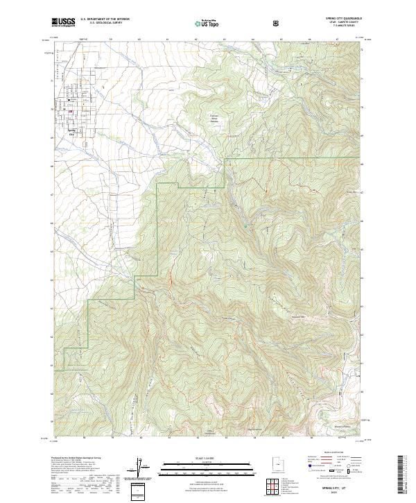 2023 Spring City2023 Print · USGSThe high-desert valley and mountain slopes of Sanpete County appear here in fine detail just as they did in the early 2020s. Genealogists and local historians can trace family roots at Pioneer Cem or follow historical water rights through Mill Race Ditch and Last Chance Ditch.
End of results
Showing maps 1-12 of 12
Top cities near Spring City
- Ephraim historical maps
- Manti historical maps
- Mount Pleasant historical maps
- Moroni historical maps
- Fairview historical maps
- Fountain Green historical maps
See more
Frequently asked questions
- What are the different types of historical maps available for Spring City?
- What is the oldest map of Spring City?
- Where can I purchase historical maps of Spring City for my home or office?
- Where can I download high-res historical maps of Spring City?
- Are there historical topographic maps available for Spring City?
- Is there historical aerial imagery available for Spring City?
- Where are historical maps of Spring City sourced from?