Old Maps of Spring City, Utah for Metal Detecting
Plan your next treasure hunt with 20 historic maps of Spring City. Find old homesites, ghost towns, trails, and gathering spots that may be lost to time — perfect for identifying promising metal detecting locations.
- Locate forgotten sites: Uncover places like long-lost settlements, abandoned rail lines, or gathering spots.
- Plan better hunts: Use map overlays combined with LiDAR or satellite views to narrow in on historically rich areas.
- Made for detectorists: Thousands of hobbyists use these maps to discover relics, coins, and hidden history.
Use these historic maps to boost your research and find new opportunities beneath the surface of Spring City.
Spring City, UT maps
(20)- 1885 Map of Manti
 1885 Manti1885 Print · USGSCentral Utah during the mid-1880s reveals a growing network of agricultural towns and vital rail lines through the high desert. Researchers can trace early family settlements along the San Pete River and locate historic depots like Pleasant Valley Junction or the early township of Nephi.4 unique versions available
 - 1895 Map of Manti, 1921 Print
 1895 Manti1921 Print · USGSSanpete County and the high plateaus of central Utah are captured in the late nineteenth century as irrigation and railroads transformed the valley floor. Genealogists and historians can trace the early layout of Manti, Ephraim, and Nephi, alongside smaller outposts like Fountain Green and Mayfield.
 - 1956 Map of Price, 1968 Print
 1956 Price1968 Print · USGSCentral Utah in the mid-fifties showcases a landscape shaped by coal mining and mountain-fed irrigation. Trace the rail-and-river economy through the Geneva Coal Mine, the Union Pacific line, and settlements like Price and Ephraim.3 unique versions available
 - 1960 Map of Price
 1960 Price1960 Print · USGSCentral Utah in the late fifties was a landscape of coal-hauling railroads and high plateau settlements. Genealogists and local historians can trace the rail-to-river economy from Price to the mountain mining camps of Hiawatha, Dragerton, and Sunnyside.2 unique versions available
 - 1962 Map of Price
 1962 Price1962 Print · USGSCentral Utah during the early sixties shows a landscape balancing high-mountain forestry with valley agriculture and coal mining. Genealogists and historians can trace the Denver and Rio Grande Western rail lines through industrial hubs like Price or locate formerly active sites like Coal City (abandoned).
 - 1966 Map of Spring City, 1968 Print
 1966 Spring City1968 Print · USGSSpring City and the Sanpete Valley are shown at the height of their mid-century agricultural and forest-management era. Genealogists and local historians can trace family-named sites like Bill Allred Creek, find the local Cem, and follow the old Last Chance Ditch.2 unique versions available
 - 1966 Map of Chester, 1968 Print
 1966 Chester1968 Print · USGSThe Sanpete Valley in the mid-1960s was a landscape defined by its irrigation network and rail-side settlements. Researchers can trace family history at the Spring City Cemetery or locate the old Chester PO and the Pigeon Hollow Junction.2 unique versions available
 - 1981 Map of Manti
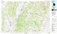 1981 Manti1981 Print · USGSCentral Utah in the early eighties shows a landscape of mountain-fed valleys and high plateau coal mines. Trace the rail lines of the Denver and Rio Grande Western or locate family roots in Gunnison, Orangeville, or Castle Dale.2 unique versions available
 - 2001 Map of Chester, 2004 Print
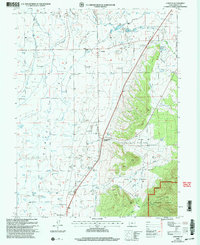 2001 Chester2004 Print · USGSThe rural heart of Sanpete County is captured here at the turn of the millennium, showing a landscape defined by century-old irrigation and small valley settlements. You can trace the lineage of the land through the Pioneer Cem, the historic Chester PO, and the rail junction at Pigeon Hollow Junction.
 - 2001 Map of Spring City, 2004 Print
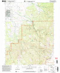 2001 Spring City2004 Print · USGSThe Sanpete Valley and the high ridges of the Manti-La Sal National Forest are shown in the early 2000s, centered on the historic grid of Spring City. Researchers can trace the extensive irrigation systems like the Oak Creek Canal and find family-named landmarks including Bill Allred Creek.
 - 2011 Map of Chester, 2011 Print
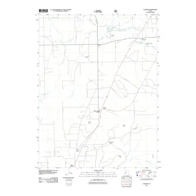 2011 Chester2011 Print · USGSSanpete County agricultural lands and water systems are documented in detail during the early twenty-first century. Researchers can locate family heritage sites at Chester Cemetery, Spring City Cemetery, or the Chester Post Office.
 - 2011 Map of Spring City, 2011 Print
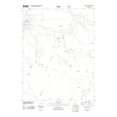 2011 Spring City2011 Print · USGSSpring City and the surrounding Sanpete County canyons are detailed in this 2011 survey, showing the mountain-and-valley geography at the start of the century. Researchers can trace family-named landmarks like Freeman Allred Meadow and Bill Allred Canyon alongside Black Willow Spring.
 - 2014 Map of Spring City, 2014 Print
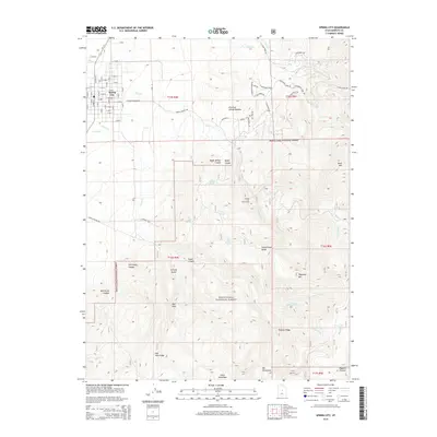 2014 Spring City2014 Print · USGSSpring City sits at the edge of the valley where the Wasatch Plateau begins its steep ascent into the national forest. Researchers can trace historical irrigation through Point Ditch or find family-named landmarks like Freeman Allred Meadow and Grizzly Gulch.
 - 2014 Map of Chester, 2014 Print
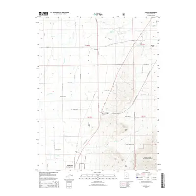 2014 Chester2014 Print · USGSSanpete County at the start of the 2010s shows a landscape deeply tied to the San Pitch River and mountain-fed irrigation. Genealogists and historians can trace local family footprints through the Chester Cem, Spring City Cem, and the remote Pioneer Cem.
 - 2017 Map of Chester, 2017 Print
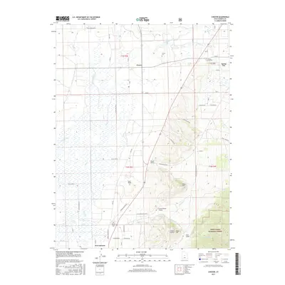 2017 Chester2017 Print · USGSSanpete County at the close of the 2010s reveals a landscape of high-desert agriculture and forest foothills. Genealogists can locate family sites at the Ephraim Pioneer Cem or Chester Cem, while water-rights researchers can trace the San Pitch River and McKinley Strates Reservoir.
 - 2017 Map of Spring City, 2017 Print
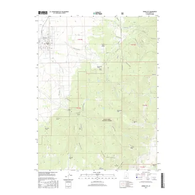 2017 Spring City2017 Print · USGSSpring City sits at the foot of the Wasatch Plateau in the late 2010s, where the valley floor gives way to steep canyons and high forest. Genealogists and local historians can trace family-named landmarks like Freeman Allred Meadow, the Spring City Pioneer Cem, and Pinecreek Ranch.
 - 2020 Map of Spring City, 2020 Print
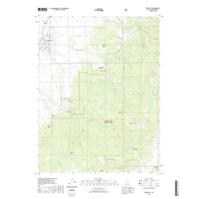 2020 Spring City2020 Print · USGSThe Sanpete Valley meets the high Wasatch Plateau in the late 2010s, showing the settled grid of Spring City against the forest wilderness. Researchers can trace local landmarks like Pioneer Cem and the rugged geography of Poulson Ridge and Maple Canyon.
 - 2020 Map of Chester, 2020 Print
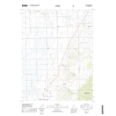 2020 Chester2020 Print · USGSSanpete County comes to life in this survey of the valley corridor between Chester and Ephraim in the late 2010s. Researchers can trace local heritage through the Ephraim Pioneer Cemetery or follow the waters of the San Pitch River and McKinley Strates Reservoir.
 - 2023 Map of Chester, 2023 Print
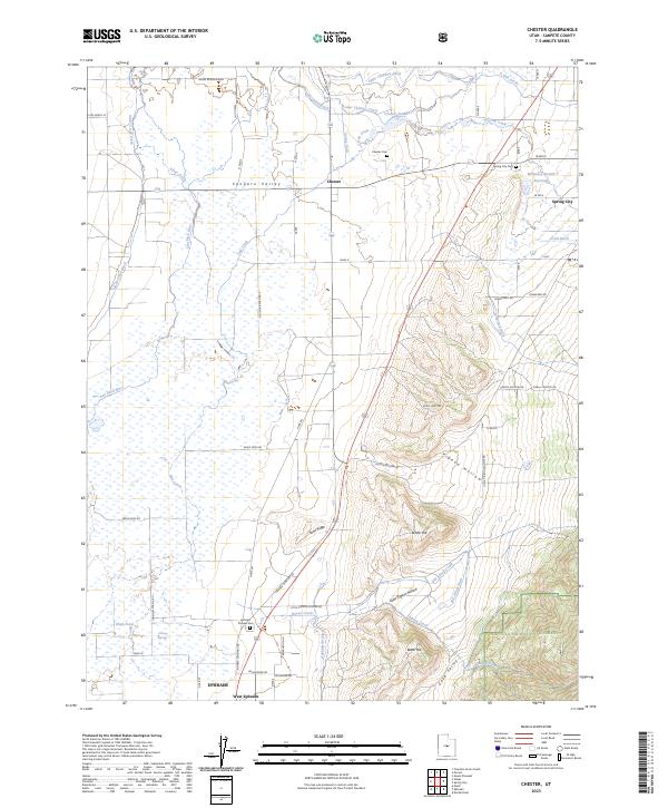 2023 Chester2023 Print · USGSSanpete County is shown here in the contemporary era as a complex tapestry of irrigation and high-valley settlements. Genealogists and local historians can trace family land and heritage at the Ephraim Pioneer Cem, Chester Cem, and along the banks of the San Pitch River.
 - 2023 Map of Spring City, 2023 Print
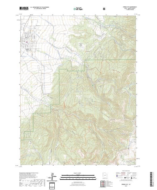 2023 Spring City2023 Print · USGSThe high-desert valley and mountain slopes of Sanpete County appear here in fine detail just as they did in the early 2020s. Genealogists and local historians can trace family roots at Pioneer Cem or follow historical water rights through Mill Race Ditch and Last Chance Ditch.
End of results
Showing maps 1-20 of 20
Top cities near Spring City
- Ephraim historical maps
- Manti historical maps
- Mount Pleasant historical maps
- Moroni historical maps
- Fairview historical maps
- Fountain Green historical maps
See more
Frequently asked questions
- What are the different types of historical maps available for Spring City?
- What is the oldest map of Spring City?
- Where can I purchase historical maps of Spring City for my home or office?
- Where can I download high-res historical maps of Spring City?
- Are there historical topographic maps available for Spring City?
- Is there historical aerial imagery available for Spring City?
- Where are historical maps of Spring City sourced from?