Old Maps of Rush Valley, Utah for Academic Research
Study the evolution of Rush Valley with 20 high-resolution historic maps. Whether you're teaching, researching, or modeling changes in land use, these maps provide essential visual documentation of urban, environmental, and geographic change.
- Analyze long-term change: Track patterns in development, transportation, and natural features.
- Ideal for environmental or urban studies: Support academic projects with primary historical map data.
- Use in the classroom or lab: Educators and researchers rely on these maps to bring historical context to life.
These maps are a powerful tool for teaching, research, and visualizing how Rush Valley has changed over the decades.
Rush Valley, UT maps
(20)- 1885 Map of Tooele Valley
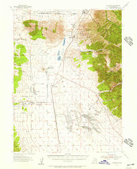
 1885 Tooele Valley1885 Print · USGSThe valleys and ranges west of the Wasatch are captured here in the mid-1880s, showcasing the early mining and rail infrastructure of the region. Genealogists can trace early settlements like Grantsville, Ophir, and Stockton, or the route of the Utah and Nevada R. R.6 unique versions available
 - 1918 Map of Stockton
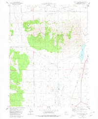
 1918 Stockton1918 Print · USGSTooele County mining and ranching culture are caught in detail just before the close of the Great War. Genealogists and historians can trace the rail lines connecting Stockton and Ophir, as well as named family properties like Bales Ranch and Johnson Ranch.4 unique versions available
 - 1953 Map of Tooele, 1968 Print
 1953 Tooele1968 Print · USGSTooele County is shown here in the 1950s, a vast landscape transitioning between the industrial growth of the Salt Lake Valley and isolated military testing grounds. Researchers can trace the routes of the Western Pacific railroad and locate historic outposts like Iosepa Ranch and St John Station.3 unique versions available
 - 1955 Map of Stockton, 1957 Print
 1955 Stockton1957 Print · USGSThe mining camps of the Oquirrh Mountains and the sprawling military installations of the Tooele Valley meet in this mid-century survey. Researchers can trace the rail-to-mine network connecting Stockton and Bauer to high-elevation sites like Ophir and the Shooting Star Mine.2 unique versions available
 - 1955 Map of Tooele, 1958 Print
 1955 Tooele1958 Print · USGSTooele County and the Great Salt Lake are captured here during the mid-fifties, an era of burgeoning military testing and industrial mining. Researchers can trace the rail sidings at Salduro Station, the grounds of the Deseret Chemical Corps Depot, and the International Smelting Co facilities.3 unique versions available
 - 1979 Map of Rush Valley
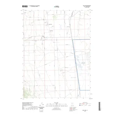
 1979 Rush Valley1979 Print · USGSTooele and Utah Counties during the late seventies reveal a unique transition from historic mining and ranching to modern military operations. Researchers can trace the Union Pacific Railroad past historic sites like Fairfield and mining camps such as Ophir.2 unique versions available
 - 1980 Map of Saint John
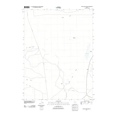
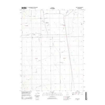
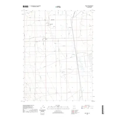
 1980 Saint John1980 Print · USGSRush Valley in the early 1980s reveals a unique intersection of military infrastructure and rural ranching life. Researchers can trace the Union Pacific line through Saint John Sta to the Tooele Army Depot and the settlement of Clover.
 - 1980 Map of South Mountain
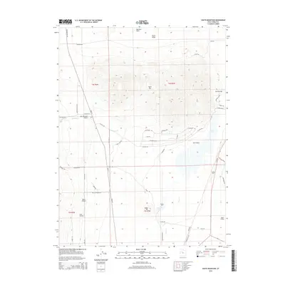
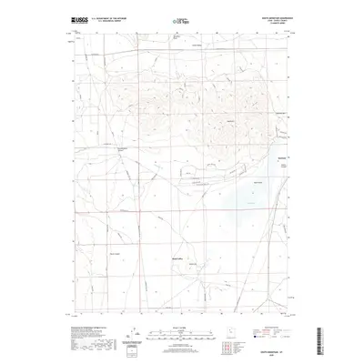
 1980 South Mountain1980 Print · USGSRush Valley and the high-desert terrain of Tooele County are captured here in the late twentieth century. Researchers can trace the industrial footprint of the Tooele Army Depot and follow the Union Pacific line as it passes Rush Lake.2 unique versions available
 - 1993 Map of Saint John
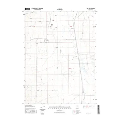
 1993 Saint John1993 Print · USGSRush Valley in the early nineties shows the meeting point of rural ranching life and large-scale military operations. Genealogists and historians can trace family locations in Saint John and Clover, or locate the historic Saint John Sta and local Cem markers.
 - 1993 Map of South Mountain
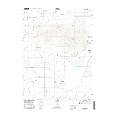
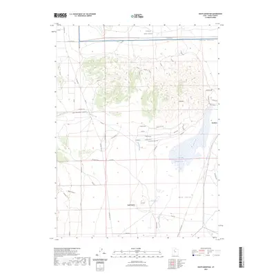
 1993 South Mountain1993 Print · USGSTooele County in the early 1990s shows a landscape shaped by military operations and rugged Great Basin geography. Researchers can trace the industrial footprint of the Tooele Army Depot or locate local landmarks like Indian Hill and Rush Lake.
 - 2011 Map of South Mountain, 2011 Print
 2011 South Mountain2011 Print · USGSCovers Rush Valley, including Stockton, Steptoe Historical Marker, and other nearby areas
 - 2011 Map of Saint John, 2011 Print
 2011 Saint John2011 Print · USGSCovers Rush Valley, including Clover, Saint John, and other nearby areas
 - 2014 Map of South Mountain, 2014 Print
 2014 South Mountain2014 Print · USGSCovers Rush Valley, including Stockton, Steptoe Historical Marker, and other nearby areas
 - 2014 Map of Saint John, 2014 Print
 2014 Saint John2014 Print · USGSCovers Rush Valley, including Clover, Saint John, and other nearby areas
 - 2017 Map of Saint John, 2017 Print
 2017 Saint John2017 Print · USGSCovers Rush Valley, including Clover, Saint John, and other nearby areas
 - 2017 Map of South Mountain, 2017 Print
 2017 South Mountain2017 Print · USGSCovers Rush Valley, including Stockton, Steptoe Historical Marker, and other nearby areas
 - 2020 Map of Saint John, 2020 Print
 2020 Saint John2020 Print · USGSCovers Rush Valley, including Clover, Saint John, and other nearby areas
 - 2020 Map of South Mountain, 2020 Print
 2020 South Mountain2020 Print · USGSCovers Rush Valley, including Stockton, Steptoe Historical Marker, and other nearby areas
 - 2023 Map of South Mountain, 2023 Print
 2023 South Mountain2023 Print · USGSTooele County's basin-and-range landscape is captured here in the early twenty-first century, centered on the strategic pass at Stockton. Researchers can trace the path of the historic MORMON TRL, explore the shores of Rush Lake, and locate the TOOELE ARMY DEPOT.
 - 2023 Map of Saint John, 2023 Print
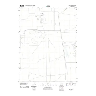
 2023 Saint John2023 Print · USGSSettled in the high basin of Tooele County, this contemporary map details the rural community and military presence in the early 2020s. Genealogists and historians can trace local family landmarks at the Saint John Cem and the rail-side industry along the Pacific Rail Rd.
End of results
Showing maps 1-20 of 20
Top cities near Rush Valley
Top neighborhoods of Rush Valley
Frequently asked questions
- What are the different types of historical maps available for Rush Valley?
- What is the oldest map of Rush Valley?
- Where can I purchase historical maps of Rush Valley for my home or office?
- Where can I download high-res historical maps of Rush Valley?
- Are there historical topographic maps available for Rush Valley?
- Is there historical aerial imagery available for Rush Valley?
- Where are historical maps of Rush Valley sourced from?