Old Maps of Genola, Utah for Academic Research
Study the evolution of Genola with 34 high-resolution historic maps. Whether you're teaching, researching, or modeling changes in land use, these maps provide essential visual documentation of urban, environmental, and geographic change.
- Analyze long-term change: Track patterns in development, transportation, and natural features.
- Ideal for environmental or urban studies: Support academic projects with primary historical map data.
- Use in the classroom or lab: Educators and researchers rely on these maps to bring historical context to life.
These maps are a powerful tool for teaching, research, and visualizing how Genola has changed over the decades.
Genola, UT maps
(34)- 1885 Map of Salt Lake
 1885 Salt Lake1885 Print · USGSThe Wasatch Front and surrounding high valleys appear here in the mid-1880s during a period of rapid mining and rail expansion. Genealogists and historians can trace early town sites and mining camps including Alta, Silver City, and the military grounds of Fort Douglass.7 unique versions available
 - 1885 Map of Manti
 1885 Manti1885 Print · USGSCentral Utah during the mid-1880s reveals a growing network of agricultural towns and vital rail lines through the high desert. Researchers can trace early family settlements along the San Pete River and locate historic depots like Pleasant Valley Junction or the early township of Nephi.4 unique versions available
 - 1895 Map of Manti, 1921 Print
 1895 Manti1921 Print · USGSSanpete County and the high plateaus of central Utah are captured in the late nineteenth century as irrigation and railroads transformed the valley floor. Genealogists and historians can trace the early layout of Manti, Ephraim, and Nephi, alongside smaller outposts like Fountain Green and Mayfield.
 - 1950 Map of West Mountain, 1951 Print
 1950 West Mountain1951 Print · USGSThe foothills of the Wasatch Range meet the shores of Utah Lake in the early 1950s. Genealogists and industrial historians can trace the tracks of the Denver and Rio Grande Western through Goshen Gap to the Keigley Quarry.3 unique versions available
 - 1950 Map of Goshen Valley North, 1952 Print
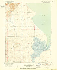 1950 Goshen Valley North1952 Print · USGSThe western shores of Utah Lake meet the Goshen Valley in the early fifties, showing a landscape of transition. Trace historical water use through the Abandoned Canal, Pinyon Creek, and early Genola Town Boundary.3 unique versions available
 - 1950 Map of West Mountain, 1959 Print
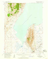 1950 West Mountain1959 Print · USGSThe shores of Utah Lake and the industrial corridors of the southern valley come into focus during the mid-century. Genealogists and historians can trace the rail lines of the Union Pacific and locate historic sites like Mosida (Site) and the Keigley Quarry.2 unique versions available
 - 1951 Map of Santaquin, 1953 Print
 1951 Santaquin1953 Print · USGSThe orchards and rail junctions of central Utah appear here in the early fifties, from the grid of Santaquin to the valley farms of Mona. Researchers can trace the legacy of the Privateer Mine and family landmarks like Lunt-Lattimer Spring and Burriston Ponds.3 unique versions available
 - 1954 Map of Salt Lake City, 1964 Print
 1954 Salt Lake City1964 Print · USGSThe Wasatch Front and Uinta Mountains are captured here in the mid-fifties, showing the industrial heart of Utah and its high mountain wilderness. Researchers can locate vanished infrastructure and landmarks like the Geneva Steel Plant, Bingham Canyon Mine, and the Utah State Prison.4 unique versions available
 - 1956 Map of Price, 1968 Print
 1956 Price1968 Print · USGSCentral Utah in the mid-fifties showcases a landscape shaped by coal mining and mountain-fed irrigation. Trace the rail-and-river economy through the Geneva Coal Mine, the Union Pacific line, and settlements like Price and Ephraim.3 unique versions available
 - 1958 Map of Salt Lake City
 1958 Salt Lake City1958 Print · USGSThe Wasatch Front and Uinta Basin are captured during a period of significant post-war growth and industrial development. Researchers can trace the mid-century rail lines of the Bamberger RR and locate sites like the Kiegley Limestone Quarry and Camp Williams Military Reservation.
 - 1960 Map of Salt Lake City
 1960 Salt Lake City1960 Print · USGSThe Wasatch Front and High Uintas are captured mid-century as the Salt Lake Valley underwent significant postwar expansion. Genealogists and historians can trace rail lines like the Union Pacific and locate established landmarks such as Fort Douglas, Camp Williams, and the Bingham Canyon Mine.
 - 1960 Map of Price
 1960 Price1960 Print · USGSCentral Utah in the late fifties was a landscape of coal-hauling railroads and high plateau settlements. Genealogists and local historians can trace the rail-to-river economy from Price to the mountain mining camps of Hiawatha, Dragerton, and Sunnyside.2 unique versions available
 - 1962 Map of Price
 1962 Price1962 Print · USGSCentral Utah during the early sixties shows a landscape balancing high-mountain forestry with valley agriculture and coal mining. Genealogists and historians can trace the Denver and Rio Grande Western rail lines through industrial hubs like Price or locate formerly active sites like Coal City (abandoned).
 - 1979 Map of Santaquin, 1984 Print
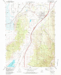 1979 Santaquin1984 Print · USGSSantaquin and the fertile valleys of central Utah are captured in the late seventies as the region balanced its mining heritage with a growing rail-and-water economy. Genealogists and historians can trace the footprint of Genola, local mines in Santaquin Canyon, and the routes of the Union Pacific railroad.
 - 1981 Map of Nephi
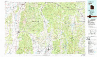 1981 Nephi1981 Print · USGSThe Juab and Sanpete valleys of central Utah are captured here in the early 1980s, during a period of established mountain settlement and rail-based commerce. Researchers can trace the routes of the Union Pacific and visit traditional communities like Nephi, Mount Pleasant, and Scofield.3 unique versions available
 - 1986 Map of Provo
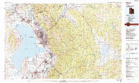 1986 Provo1986 Print · USGSThe Utah Valley during the mid-eighties shows a bustling corridor of growth between the mountains and Utah Lake. Genealogists and historians can trace the rail lines of the Union Pacific RR through settlements like Springville, Spanish Fork, and Payson.
 - 1994 Map of West Mountain
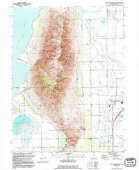 1994 West Mountain1994 Print · USGSThe foothills of Utah County were a hub of heavy industry and irrigation at the start of the nineties. Genealogists and historians can trace the Union Pacific rail lines near Payson Sta or the massive industrial footprint of the Keigley Quarry.
 - 1994 Map of Goshen Valley North
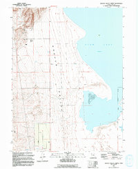 1994 Goshen Valley North1994 Print · USGSThe southwestern shores of Utah Lake and the pastoral Goshen Valley are captured here in the mid-1990s. Researchers can trace land use through a network of ranching landmarks like the Corral, water sources, and the local Genola Corporate Boundary.
 - 1998 Map of Santaquin, 2002 Print
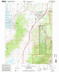 1998 Santaquin2002 Print · USGSThe foothills of the Wasatch Range meet the agricultural fields of Utah and Juab Counties in the late nineties. Local researchers can trace water rights along the Strawberry Highline Canal or explore old mining sites and cemeteries near Santaquin and Genola.
 - 2011 Map of Santaquin, 2011 Print
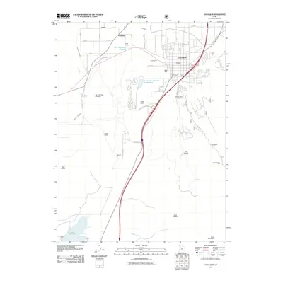 2011 Santaquin2011 Print · USGSThe northern edge of the Juab Valley meets the mountains in this 2011 Utah survey of Santaquin and Genola. Researchers can trace water infrastructure from the Ewell Regulating Reservoir to the Santaquin Debris Basin Dam and locate the Santaquin City Cemetery.
 - 2011 Map of Goshen Valley North, 2011 Print
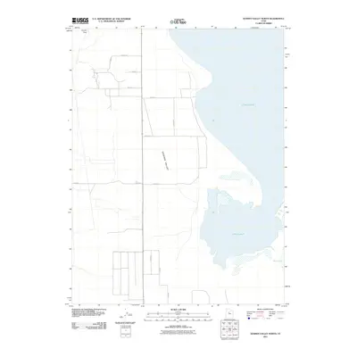 2011 Goshen Valley North2011 Print · USGSThe northern reaches of the Goshen Valley meet the vast shoreline of Utah Lake in this 2011 survey. Researchers can trace the rural road grid and natural landmarks like Coyote Pass and the marshlands around White Lake.
 - 2011 Map of West Mountain, 2011 Print
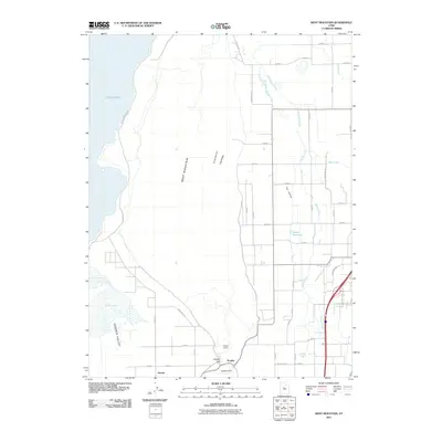 2011 West Mountain2011 Print · USGSUtah County’s southern lakefront and high desert terrain appear in detail during the early twenty-first century. Researchers can trace local industry and hydrology through landmarks like Keigley Quarry, the town of Genola, and the seasonal waters of White Lake.
 - 2014 Map of Goshen Valley North, 2014 Print
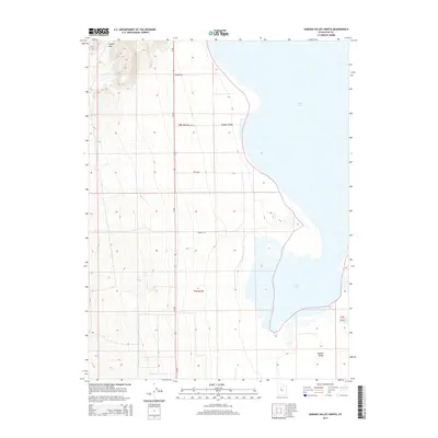 2014 Goshen Valley North2014 Print · USGSGoshen Valley and the western shores of Utah Lake are shown here in the early twenty-first century as agricultural lands meet the water's edge. Researchers can trace rural infrastructure and desert terrain features like Coyote Pass, Mosida Trl, and Pinyon Cr.
 - 2014 Map of West Mountain, 2014 Print
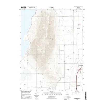 2014 West Mountain2014 Print · USGSThe southern Utah Valley in the early twenty-first century is captured here, showing the corridor between Utah Lake and the mountains. Genealogists and locals can trace the outskirts of Payson and Santaquin or locate landmarks like Holladay Springs and Benjamin.
 - 2014 Map of Santaquin, 2014 Print
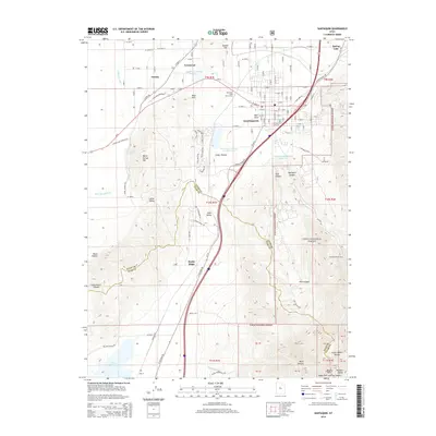 2014 Santaquin2014 Print · USGSThe foothills of the Wasatch Range meet the orchards of the Juab Valley during this era of growth. Genealogists and local historians can trace the town layouts of Santaquin and Genola, or locate the Santaquin City Cem and the waters of the Mona Reservoir.
Showing maps 1-25 of 34
Top cities near Genola
- Provo historical maps
- Spanish Fork historical maps
- Springville historical maps
- Payson historical maps
- Salem historical maps
- Elk Ridge historical maps
See more
Top neighborhoods of Genola
Frequently asked questions
- What are the different types of historical maps available for Genola?
- What is the oldest map of Genola?
- Where can I purchase historical maps of Genola for my home or office?
- Where can I download high-res historical maps of Genola?
- Are there historical topographic maps available for Genola?
- Is there historical aerial imagery available for Genola?
- Where are historical maps of Genola sourced from?