Old Maps of Grover, Utah for Academic Research
Study the evolution of Grover with 15 high-resolution historic maps. Whether you're teaching, researching, or modeling changes in land use, these maps provide essential visual documentation of urban, environmental, and geographic change.
- Analyze long-term change: Track patterns in development, transportation, and natural features.
- Ideal for environmental or urban studies: Support academic projects with primary historical map data.
- Use in the classroom or lab: Educators and researchers rely on these maps to bring historical context to life.
These maps are a powerful tool for teaching, research, and visualizing how Grover has changed over the decades.
Grover, UT maps
(15)- 1885 Map of Fish Lake
 1885 Fish Lake1885 Print · USGSThe high plateaus and early canyon settlements of central Utah are documented here in the mid-1880s, shortly after the Powell Survey. Genealogists and historians can trace early families in Salina, Antimony, and Cousharem, or locate remote sites like Bean Spring.
 - 1896 Map of Fish Lake, 1899 Print
 1896 Fish Lake1899 Print · USGSSouthern Utah in the late nineteenth century is a land of high plateaus and isolated river settlements. Trace early pioneer outposts like Thurber, Teardale, and Antimony alongside geological marvels such as Fish Lake and the Water Pocket Flexure.4 unique versions available
 - 1952 Map of Notom 3 NE, 1954 Print
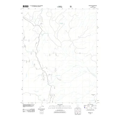
 1952 Notom 3 NE1954 Print · USGSThe southern Utah highlands in the early fifties are shown here at high resolution, detailing the isolated settlements and cattle country of the plateau. Researchers can trace the water sources at Larb Hollow Spring and remote outposts like Grover and Happy Valley.
 - 1952 Map of Grover, 1957 Print
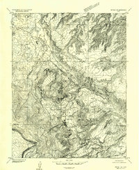
 1952 Grover1957 Print · USGSSouthern Utah's high plateau country in the early fifties is captured here during a period of active timbering and grazing. Local history researchers can trace the roads to the Wildcat Ranger Sta, the old Sawmill, and numerous cattle ranges like Haws Pasture.3 unique versions available
 - 1956 Map of Salina
 1956 Salina1956 Print · USGSCentral Utah in the mid-fifties reveals a landscape of high plateaus and desert basins before the modern highway era. Researchers can trace the ranching and mining roots of Hanksville and Loa or locate the Lucky Strike Mine near the San Rafael Swell.5 unique versions available
 - 1960 Map of Salina
 1960 Salina1960 Print · USGSThe high plateaus and canyonlands of south-central Utah appear in the early sixties as a region of remote ranching towns and developing parklands. Researchers can trace historic settlements like Fruita and Loa or locate the uranium mines and the tracks of the Denver and Rio Grande Western RR.2 unique versions available
 - 1962 Map of Salina
 1962 Salina1962 Print · USGSSevier County and the surrounding desert wilderness appear here in the early sixties as a network of isolated river valley towns and high-altitude forests. Researchers can locate remote landmarks like Fruita, trace the Denver & Rio Grande Western RR, and find backcountry sites like the Aquarius Ranger Station.
 - 1980 Map of Loa
 1980 Loa1980 Print · USGSCentral Utah's high plateaus and the Fremont River corridor are captured here during the 1980s, showcasing a landscape of high-elevation reservoirs and remote ranching outposts. Genealogists can trace family names and early settlements from Loa and Teasdale to the orchards of Fruita.2 unique versions available
 - 1985 Map of Grover
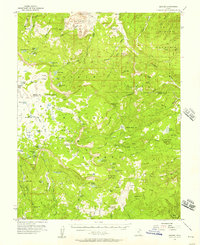
 1985 Grover1985 Print · USGSGrover and the surrounding Utah high country are captured in the mid-1980s, where ranching meadows meet the red rocks of the reef. Local historians can trace high-altitude landmarks like Boulder Mountain, Rock Creek Meadow, and the Wide Hollow Reservoir.2 unique versions available
 - 2002 Map of Grover, 2005 Print
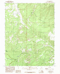
 2002 Grover2005 Print · USGSHigh desert plateaus and deep canyons meet at the turn of the millennium near the Wayne and Garfield county line. Researchers can trace historic land use through several Mine Shaft locations and the remote outpost of Grover near the Dixie National Forest boundary.
 - 2011 Map of Grover, 2011 Print
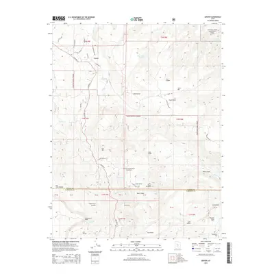
 2011 Grover2011 Print · USGSCovers Grover, including Garfield County, Wayne County, and other nearby areas
 - 2014 Map of Grover, 2014 Print
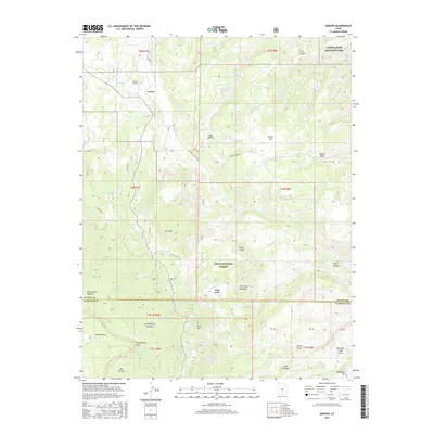
 2014 Grover2014 Print · USGSCovers Grover, including Garfield County, Wayne County, and other nearby areas
 - 2017 Map of Grover, 2017 Print
 2017 Grover2017 Print · USGSCovers Grover, including Garfield County, Wayne County, and other nearby areas
 - 2020 Map of Grover, 2020 Print
 2020 Grover2020 Print · USGSCovers Grover, including Garfield County, Wayne County, and other nearby areas
 - 2023 Map of Grover, 2023 Print
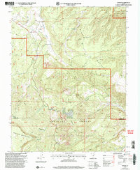
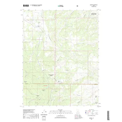
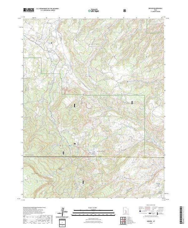 2023 Grover2023 Print · USGSWayne County high country comes to life in this survey of Grover and the Dixie National Forest. Trace family names and local landmarks from Grover Cem to the high meadows of Rock Creek Meadow and Jorgenson Flat.
End of results
Showing maps 1-15 of 15
Top cities near Grover
Frequently asked questions
- What are the different types of historical maps available for Grover?
- What is the oldest map of Grover?
- Where can I purchase historical maps of Grover for my home or office?
- Where can I download high-res historical maps of Grover?
- Are there historical topographic maps available for Grover?
- Is there historical aerial imagery available for Grover?
- Where are historical maps of Grover sourced from?