2020s Maps of Franklin County, Vermont
Explore 46 historic maps of Franklin County from the 2020s. These maps offer a rare glimpse into what life looked like during the 2020s — showing old roads, neighborhoods, homes, and landmarks that have changed or disappeared over time.
Whether you're researching your family's past, planning a metal detecting trip, or studying how Franklin County's landscape evolved across the 2020s, these high-resolution maps are a powerful tool for exploring the history of this region.
- Focus on a specific era: All maps on this page are from the 2020s, giving you a focused view of this time period.
- See what’s changed: Compare century-old streets, trails, and buildings to today's modern landscape using overlays and satellite layers.
- Research with precision: Use these maps for genealogy, historical research, land use analysis, or educational projects.
- View, download, or print: Maps are fully viewable online in high resolution, and can be downloaded or printed for your own records.
Start exploring Franklin County's history through authentic maps from the 2020s. This is your window into the past.
Franklin County, VT maps
(46)- 2021 Map of Enosburg Falls OE N, 2021 Print
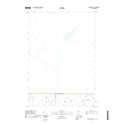 2021 Enosburg Falls OE N2021 Print · USGSThe northern Vermont borderlands at the edge of Franklin County are shown here in modern detail, where the international line meets rural Berkshire. Researchers can trace the paths of Pike River and historic routes like Boston Post Rd and Skunk Hollow Rd.
 - 2021 Map of Richford OE N, 2021 Print
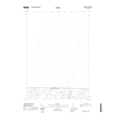 2021 Richford OE N2021 Print · USGSThe northern edge of Franklin County meets the Canadian border in this 2020s survey of the rural Vermont uplands. Researchers can locate Hillside Cem and trace old transit routes like Lost Nation Rd and Province St near the North Branch Missisquoi River.
 - 2021 Map of Jay Peak OE N, 2021 Print
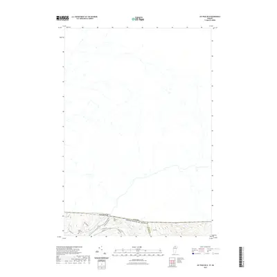 2021 Jay Peak OE N2021 Print · USGSThe Vermont-Canada borderlands near the Missisquoi River are detailed here in this contemporary survey of the northern Franklin County line. Genealogists and local historians can locate the East Richford Cem, Barnet Monument Cem, and the small settlement of East Richford.
 - 2021 Map of Sheldon Springs OE N, 2021 Print
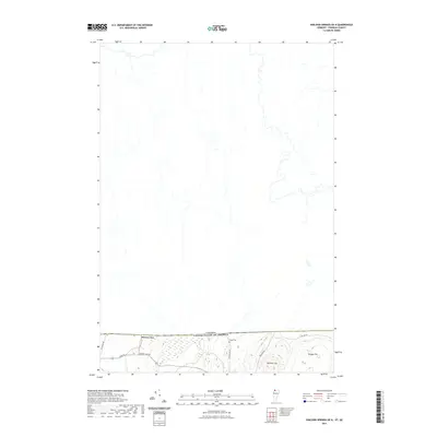 2021 Sheldon Springs OE N2021 Print · USGSIn this 2021 study of the international boundary, the small border community of Morses Line sits at the gateway to Quebec. Genealogists and local historians can trace family roots near Briggs Cem or explore the rural roads leading to Minister Hill.
 - 2021 Map of Highgate Center OE N, 2021 Print
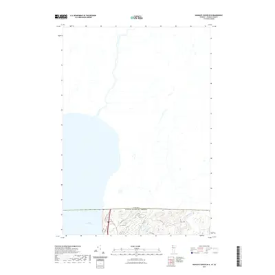 2021 Highgate Center OE N2021 Print · USGSThe international borderlands of Vermont and Quebec are captured here in the early twenty-first century. Genealogists and local researchers can identify family-named sites like Deal Cem and Brewer Cem near the shores of Lake Champlain.
 - 2021 Map of East Alburg OE N, 2021 Print
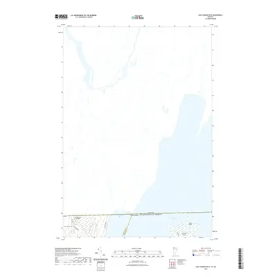 2021 East Alburg OE N2021 Print · USGSThe international border near Swanton meets the northern waters of Lake Champlain in this modern survey of the 45th parallel. Researchers can trace rural family-named landmarks like Greenwood Cemetery and Greenwoods Airfield near the shoreline of Chapman Bay.
 - 2021 Map of Saint Albans Bay, 2021 Print
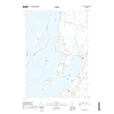 2021 Saint Albans Bay2021 Print · USGSThe eastern shores of Lake Champlain are documented here during the early twenty-first century, centered on the settlement at Saint Albans Bay. Local historians can trace the paths of Jewett Brook and Stevens Brook as they wind through the coastal lowlands of Franklin County.
 - 2021 Map of North Hero, 2021 Print
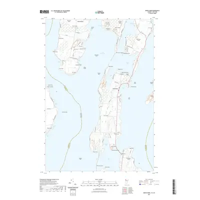 2021 North Hero2021 Print · USGSThe Lake Champlain islands of Vermont are detailed in this recent survey, capturing the rural character of North Hero and Isle la Motte. Genealogists and local historians can trace family locations at South End Cem, explore the shores of Carry Bay, or locate the Jerusalem Cem on North Hero Island.
 - 2021 Map of Cold Hollow Mountains, 2021 Print
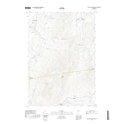 2021 Cold Hollow Mountains2021 Print · USGSThe high ridges of Northern Vermont are captured here during the 2020s, showing the intersection of Franklin and Lamoille counties. Genealogists and historians can locate remote burial sites like Cook Cem and trace the crossing at the West Hill Covered Bridge.
 - 2021 Map of Saint Albans, 2021 Print
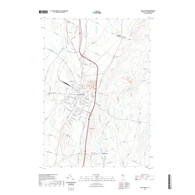 2021 Saint Albans2021 Print · USGSSaint Albans and its rural surroundings in Franklin County are captured in this recent survey. Local historians can trace family burial sites like Montefiore Cem and Kingsbury Cem or follow the path of the New England Central RR.
 - 2021 Map of East Alburg, 2021 Print
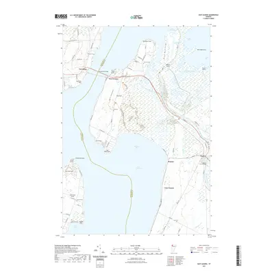 2021 East Alburg2021 Print · USGSThe northern reaches of Lake Champlain come into focus in the 2020s, showing the intricate connections between Swanton and the islands. Genealogists and local historians can trace the Old Railroad Passage Trl or locate legacy sites like Riverside Cem and the Swanton Covered Bridge.
 - 2021 Map of Georgia Plains, 2021 Print
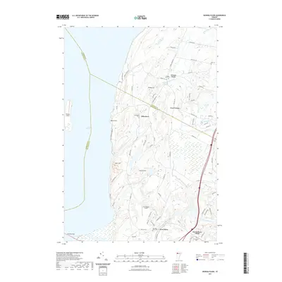 2021 Georgia Plains2021 Print · USGSCoastal Vermont at the turn of the decade shows a landscape of river valleys and shoreline hamlets. Genealogists can trace family names through Georgia Plains Cem and Checkerberry Village, or locate the path of the Lamoille River.
 - 2021 Map of Sheldon Springs, 2021 Print
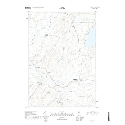 2021 Sheldon Springs2021 Print · USGSFranklin County's river valleys and mountain foothills are captured in this recent survey of Northern Vermont. Local historians can trace cemetery locations like Sheldon Union Cem and rural hubs such as Sheldon Junction and East Highgate.
 - 2021 Map of Fairfield, 2021 Print
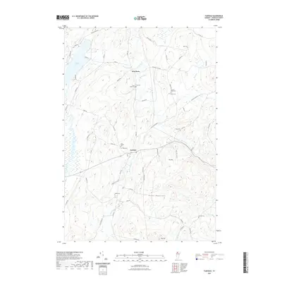 2021 Fairfield2021 Print · USGSFranklin County's rural landscape comes into focus in this contemporary survey of the foothills near the northern Green Mountains. Genealogists and local historians can locate numerous burial sites and family landmarks, from Saint Rocks Cem to Pumpkin Village Cem.
 - 2021 Map of Highgate Center, 2021 Print
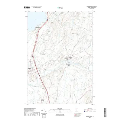 2021 Highgate Center2021 Print · USGSFranklin County's river-driven landscapes and historic townships are captured in this recent survey of the Missisquoi valley. Researchers can trace family history through a high density of rural burial grounds like Webster Cem, Platt Cem, and Saint Marys Cem.
 - 2021 Map of Jay Peak, 2021 Print
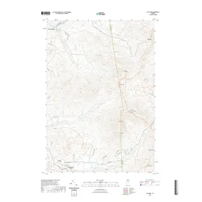 2021 Jay Peak2021 Print · USGSFranklin and Orleans Counties meet along the high ridges of the Green Mountains in this recent survey. Local historians can trace the settlement at Montgomery Center and locate family burial sites at Saint Isidore Cem or Montgomery Center Cem.
 - 2021 Map of Jeffersonville, 2021 Print
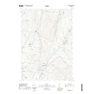 2021 Jeffersonville2021 Print · USGSLamoille County's river valleys and the peaks of the Green Mountains come into focus in this contemporary survey of northern Vermont. Researchers can locate several historic timber crossings such as the Jaynes Covered Bridge and Poland Covered Bridge, alongside family burial sites like the Page Burial Plot.
 - 2021 Map of Enosburg Falls, 2021 Print
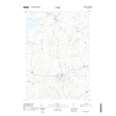 2021 Enosburg Falls2021 Print · USGSFranklin County's dairy and river country is meticulously documented here during the early twenty-first century. Researchers can trace family history through numerous burial grounds like Stevens Ferry Cem and Marsh Cem or locate old homesteads near South Franklin.
 - 2021 Map of Gilson Mountain, 2021 Print
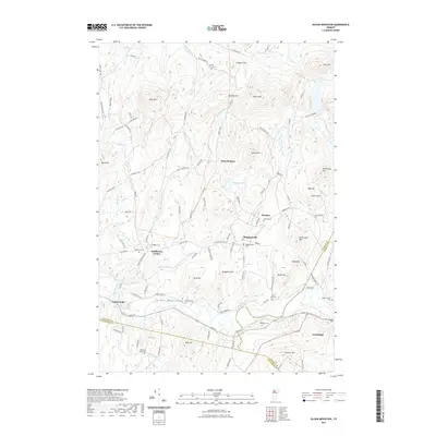 2021 Gilson Mountain2021 Print · USGSFranklin County's high country is preserved here in the early twenty-first century, showing the enduring rural layout of Vermont's northern hills. Researchers can locate family landmarks like Mudgett Cem and Spafford Cem or trace the roads connecting Binghamville and West Fletcher.
 - 2021 Map of Bakersfield, 2021 Print
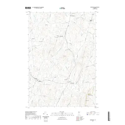 2021 Bakersfield2021 Print · USGSFranklin County's rural character is preserved in this modern survey of the Green Mountain foothills. Genealogists and historians can trace family locations near the East Fairfield Covered Bridge or research old plots at Maple Grove Cem and Saint Georges Cem.
 - 2021 Map of Hazens Notch, 2021 Print
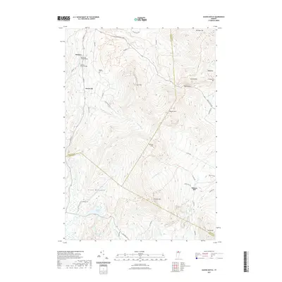 2021 Hazens Notch2021 Print · USGSThe Green Mountains of Vermont are captured here in the early twenty-first century, showing the rugged crossing at Hazens Notch. Researchers can trace local history through the Hectorville Covered Bridge, the Tillotson Mill, and family burial sites like Roegan Road Cem.
 - 2021 Map of Richford, 2021 Print
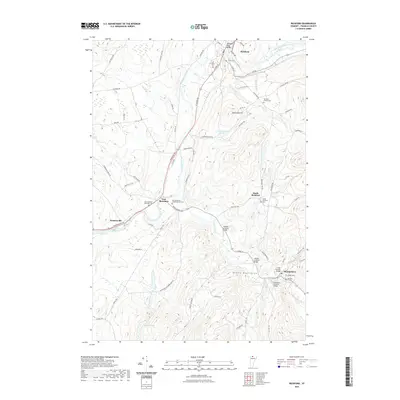 2021 Richford2021 Print · USGSNorthern Vermont's river valleys and mountain foothills are captured here in the early twenty-first century. Genealogists and historians can trace family plots at Richford Center Cem or locate historic spans like the Comstock Covered Bridge and Longley Covered Bridge.
 - 2021 Map of Milton, 2021 Print
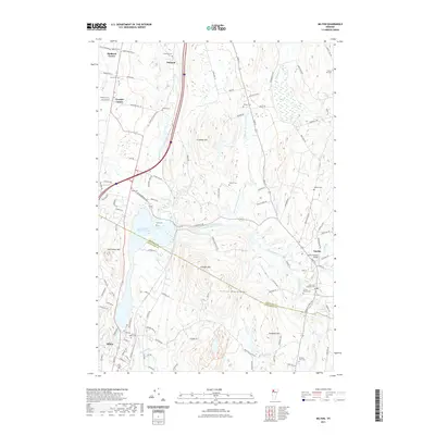 2021 Milton2021 Print · USGSNorthwestern Vermont's rolling hills and river valleys are captured here as they appeared recently. Genealogists and historians can trace numerous burial sites like Old Milton Cem or visit the Lower Covered Bridge in Fairfax.
 - 2024 Map of Enosburg Falls, 2024 Print
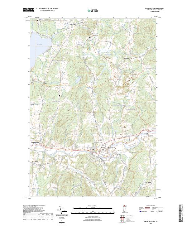 2024 Enosburg Falls2024 Print · USGSNorthern Vermont dairy country and the village of Enosburg Falls come into focus in this contemporary survey. Researchers can trace ancestral roots through several rural burial grounds like Stevens Ferry Cem or follow the path of the Missisquoi Valley Rail-Trail.
 - 2024 Map of Sheldon Springs, 2024 Print
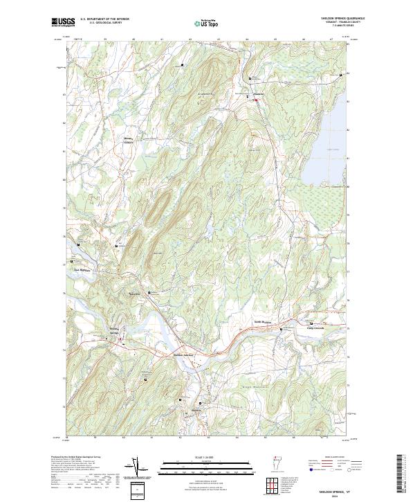 2024 Sheldon Springs2024 Print · USGSFranklin County's river-valley settlements and rural cemeteries are preserved here at the edge of the Green Mountains. Researchers can trace family sites at Sheldon Union Cem and Saint Marys Cem or follow the old rail corridor along the Missisquoi Valley Rail-Trl.
Showing maps 1-25 of 46
Top cities of Franklin County
- Saint Albans City historical maps
- Swanton historical maps
- Fairfax historical maps
- Richford historical maps
- Sheldon historical maps
- Fairfield historical maps
See more
Frequently asked questions
- What are the different types of historical maps available for Franklin County?
- What is the oldest map of Franklin County?
- Where can I purchase historical maps of Franklin County for my home or office?
- Where can I download high-res historical maps of Franklin County?
- Are there historical topographic maps available for Franklin County?
- Is there historical aerial imagery available for Franklin County?
- Where are historical maps of Franklin County sourced from?