2020s Maps of Albemarle County, Virginia
Explore 24 historic maps of Albemarle County from the 2020s. These maps offer a rare glimpse into what life looked like during the 2020s — showing old roads, neighborhoods, homes, and landmarks that have changed or disappeared over time.
Whether you're researching your family's past, planning a metal detecting trip, or studying how Albemarle County's landscape evolved across the 2020s, these high-resolution maps are a powerful tool for exploring the history of this region.
- Focus on a specific era: All maps on this page are from the 2020s, giving you a focused view of this time period.
- See what’s changed: Compare century-old streets, trails, and buildings to today's modern landscape using overlays and satellite layers.
- Research with precision: Use these maps for genealogy, historical research, land use analysis, or educational projects.
- View, download, or print: Maps are fully viewable online in high resolution, and can be downloaded or printed for your own records.
Start exploring Albemarle County's history through authentic maps from the 2020s. This is your window into the past.
Albemarle County, VA maps
(24)- 2022 Map of Simeon, 2022 Print
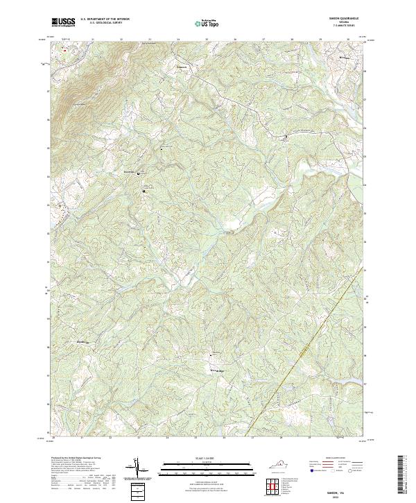 2022 Simeon2022 Print · USGSAlbemarle County's rolling landscape appears in detail during the early 2020s, centered on the historic crossroads of Simeon. Researchers can trace old family burial sites like Slate Hill Cem and local landmarks along the Thomas Jefferson Pkwy.
 - 2022 Map of Covesville, 2022 Print
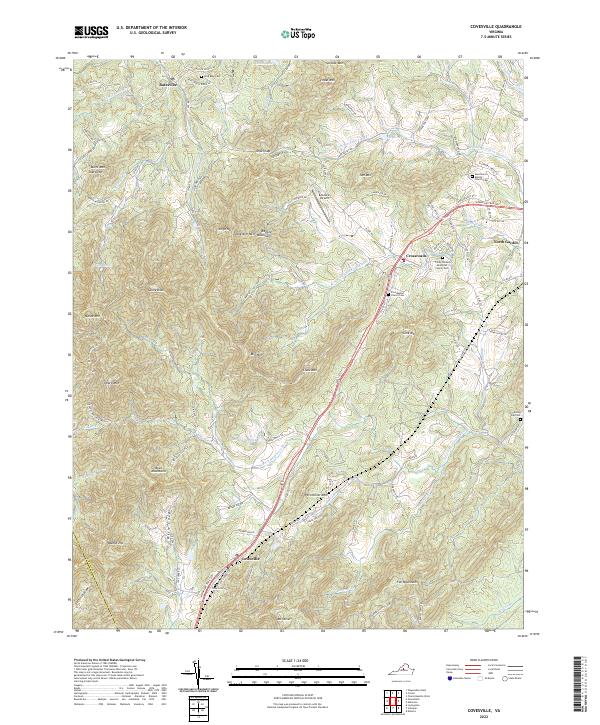 2022 Covesville2022 Print · USGSAlbemarle County settlement and mountain terrain are captured in this recent survey. Local historians can trace family roots at Zion Baptist Church Cem, explore the Ragged Mountains, or locate the historic center of Batesville.
 - 2022 Map of Esmont, 2022 Print
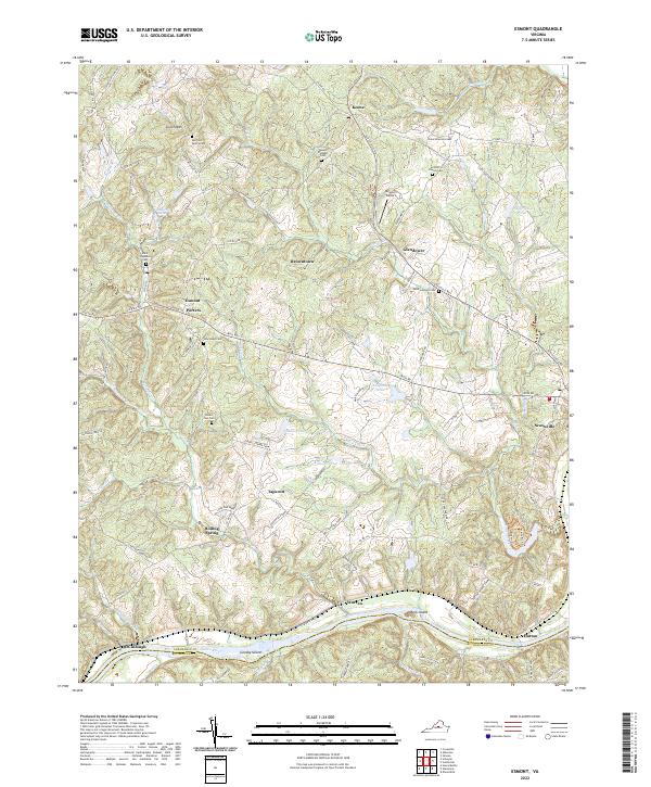 2022 Esmont2022 Print · USGSThe Virginia Piedmont meets the James River in the early 2020s, showcasing a landscape of established family farms and historic river crossings. Researchers can trace local heritage through the many burial grounds like Van Clief Family Cem and Saint Georges Cem or locate old community hubs like Esmont and Keene.
 - 2022 Map of Howardsville, 2022 Print
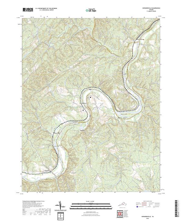 2022 Howardsville2022 Print · USGSThe James River corridor at the meeting of Buckingham, Nelson, and Albemarle counties remains a landscape of river-bend settlements and family landmarks. Researchers can trace the heritage of Howardsville, the grounds of Yogaville, and rural burial sites like Liberty Hall Cem.
 - 2022 Map of Schuyler, 2022 Print
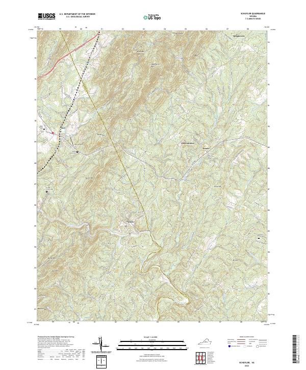 2022 Schuyler2022 Print · USGSThe Nelson County foothills are shown here as they appear today, centering on the historic soapstone area of Schuyler. Genealogists and historians can trace local landmarks like Mount Shiloh Cem and the small settlements of Old Dominion and Faber.
 - 2022 Map of Glenmore, 2022 Print
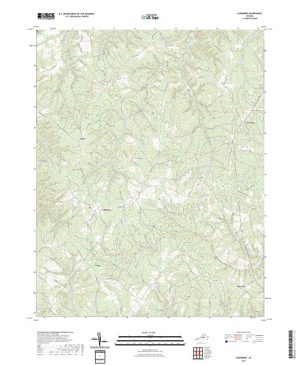 2022 Glenmore2022 Print · USGSCentral Virginia's rural landscape is shown in detail here just after the turn of the twenty-first century. Genealogists can trace family-named landmarks like Paynes Millpond and settlements including Centenary, Glenmore, and Camm.
 - 2022 Map of McGaheysville, 2022 Print
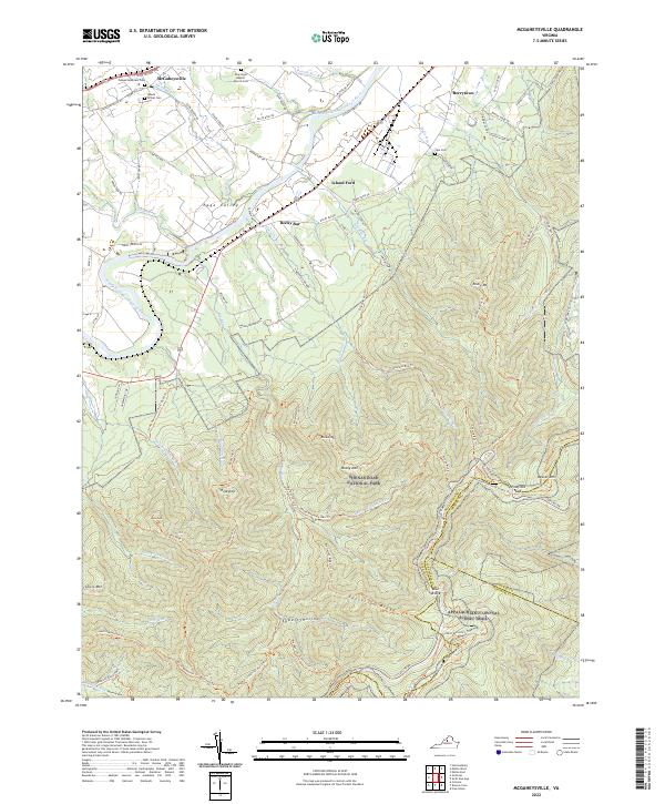 2022 McGaheysville2022 Print · USGSIn the valley of the South Fork Shenandoah River during the early 2020s, the landscape balances small-town settlements with sprawling protected wilderness. Genealogists can trace local roots through Mount Olivet Cem and Sipe Cem, while hikers can follow the Appalachian National Scenic Trail through Pinefield Gap.
 - 2022 Map of Gordonsville, 2022 Print
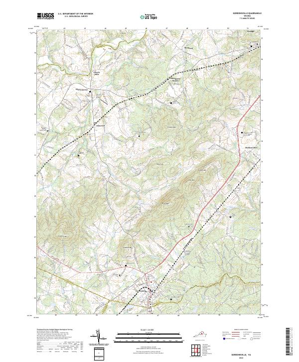 2022 Gordonsville2022 Print · USGSGordonsville and the surrounding Piedmont country are captured here in the early twenty-first century, showing a landscape of family estates and transit hubs. Researchers can trace ancestral roots through numerous local burial sites like Maplewood Cem, Woodbury Cem, and the Augustine Webb Cem.
 - 2022 Map of Alberene, 2022 Print
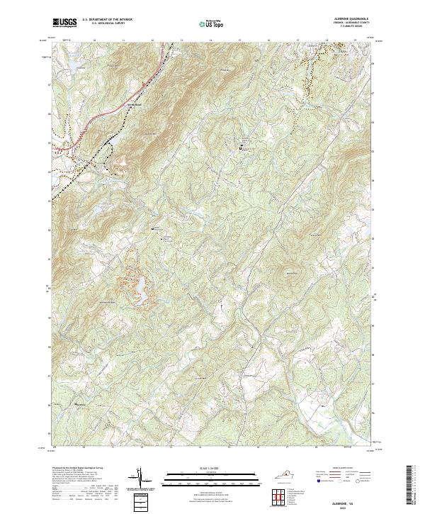 2022 Alberene2022 Print · USGSAlbemarle County's foothills come into focus in this recent survey of the historic soapstone district and the surrounding agricultural estates. Genealogists and historians can locate family landmarks like the Johnson Family Cem, Hardware Baptist Church Cem, and the venerable Estouteville Farm.
 - 2022 Map of Crozet, 2022 Print
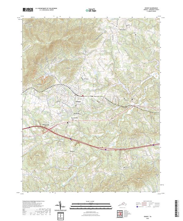 2022 Crozet2022 Print · USGSAlbemarle County's foothills come into sharp focus in the early 2020s, showing the intersection of mountain terrain and historic community hubs. Genealogists can trace family heritage through local landmarks like Rock Gate Cem, White Hall, and Midway.
 - 2022 Map of Waynesboro East, 2022 Print
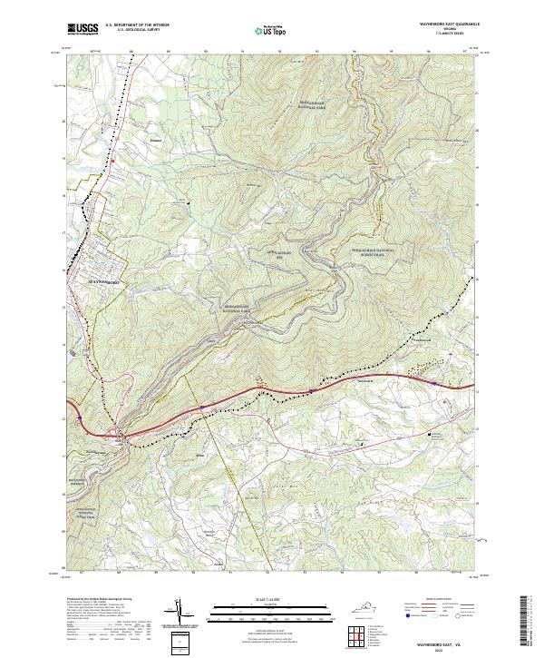 2022 Waynesboro East2022 Print · USGSThe Blue Ridge peaks and Shenandoah Valley interface are detailed here in 2022, showing how the landscape shaped local movement. Researchers can trace historic mountain passages and early settlements, including Afton, Swannanoa, and the Emmanuel Episcopal Church Cem.
 - 2022 Map of Browns Cove, 2022 Print
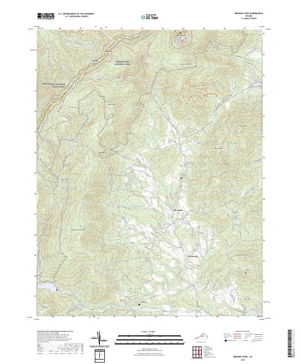 2022 Browns Cove2022 Print · USGSAlbemarle County's Blue Ridge foothills are captured here in the early twenty-first century as they transition from wilderness to historic farmsteads. Researchers can locate family cemeteries like Sandridge Cem or trace the rural routes connecting Mountfair and Deep Rock Farm.
 - 2022 Map of Charlottesville East, 2022 Print
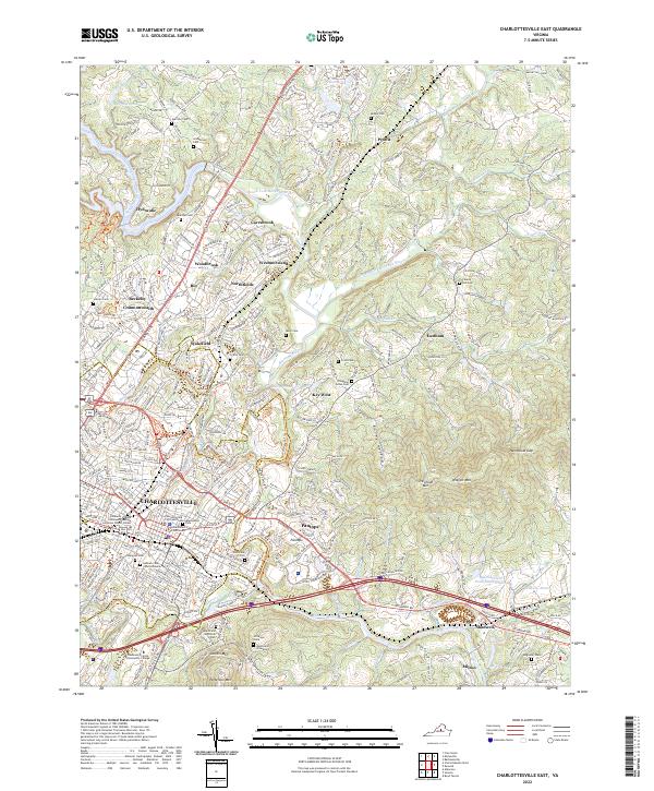 2022 Charlottesville East2022 Print · USGSAlbemarle County's storied landscape comes into focus in this modern era, centered on the historic streets of Charlottesville and the Rivanna River valley. Genealogists and historians can trace significant family and memorial sites, from the Jefferson Tomb to the Hebrew Cem Charlottesville.
 - 2022 Map of Swift Run Gap, 2022 Print
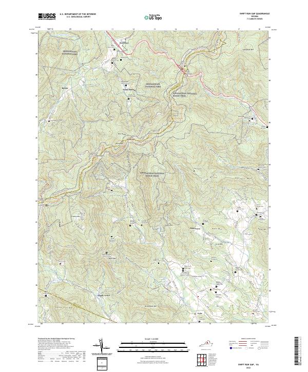 2022 Swift Run Gap2022 Print · USGSThe high ridges of Greene County meet the Shenandoah wilderness in this modern survey of the Blue Ridge mountain gaps. Researchers can locate dozens of remote family cemeteries and landmarks, including Bacon Hollow Cem, Slaters Mtn, and the Evergreen Church Of The Brethren.
 - 2022 Map of Crimora, 2022 Print
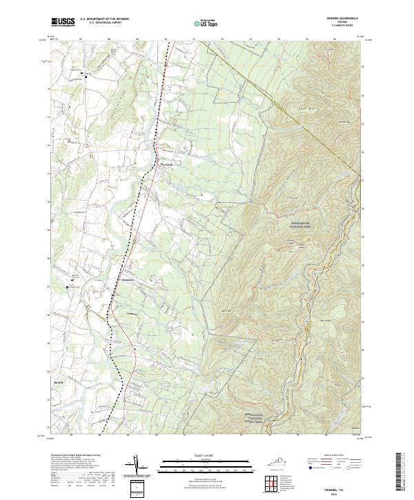 2022 Crimora2022 Print · USGSAugusta County’s eastern valley meets the Blue Ridge in the early twenty-first century, showing the enduring footprint of rail and mountain industry. Genealogists can locate several local burial grounds, including Trinity Lutheran Cem, Edgewood Cem, and Mountain View Cem.
 - 2022 Map of Scottsville, 2022 Print
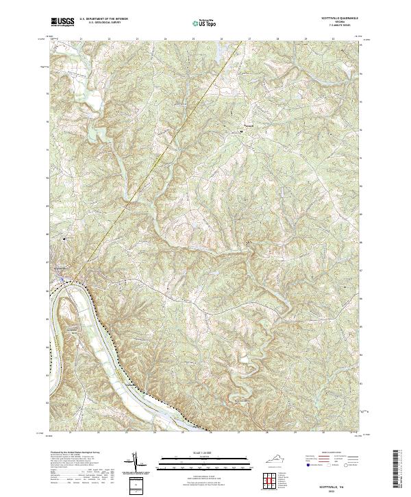 2022 Scottsville2022 Print · USGSThe town of Scottsville and the winding James River highlight this Virginia landscape at the start of the 2020s. Researchers can trace family history at Antioch Cem or follow the paths of the Hardware River and Coles Rolling Rd.
 - 2022 Map of Free Union, 2022 Print
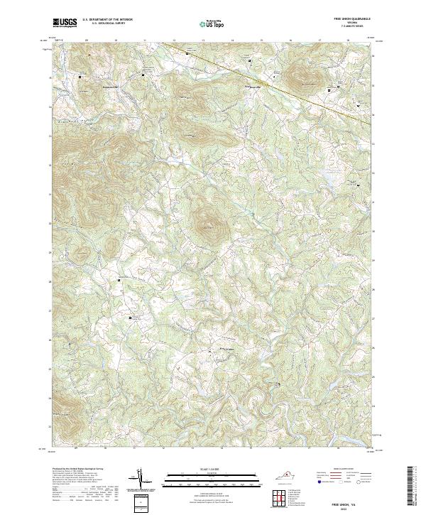 2022 Free Union2022 Print · USGSThe foothills of Albemarle and Greene Counties are mapped here in the early twenty-first century, showing a rural landscape shaped by narrow hollows and river forks. Genealogists can trace family heritage through sites like the Gentry-United Methodist Church Cem or the Gibson Family Cem.
 - 2022 Map of Boyd Tavern, 2022 Print
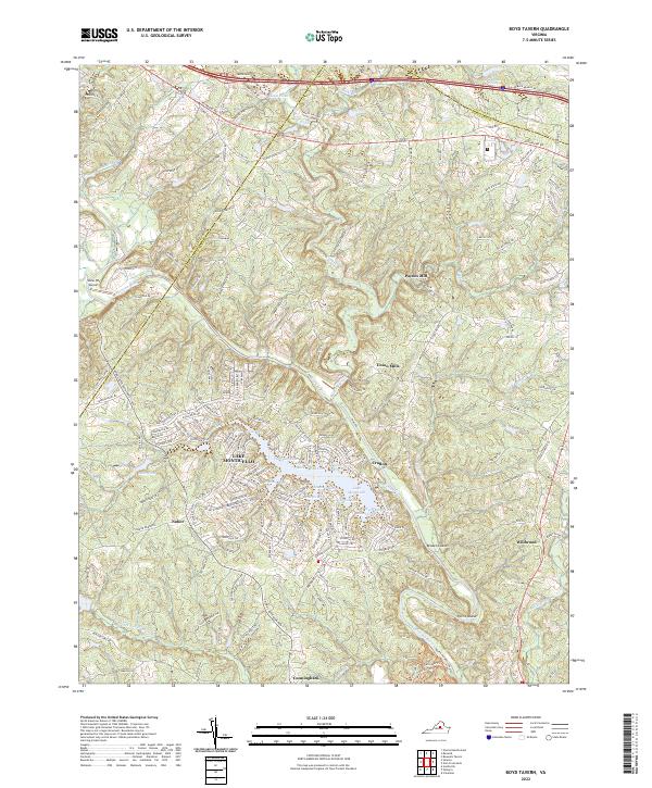 2022 Boyd Tavern2022 Print · USGSFluvanna County's landscape at the start of the 2020s shows a mix of historic mill sites and modern lakeside communities. Researchers can trace the legacy of local industry at Union Mills or explore the many coves of Lake Monticello and the banks of the Rivanna River.
 - 2022 Map of Barboursville, 2022 Print
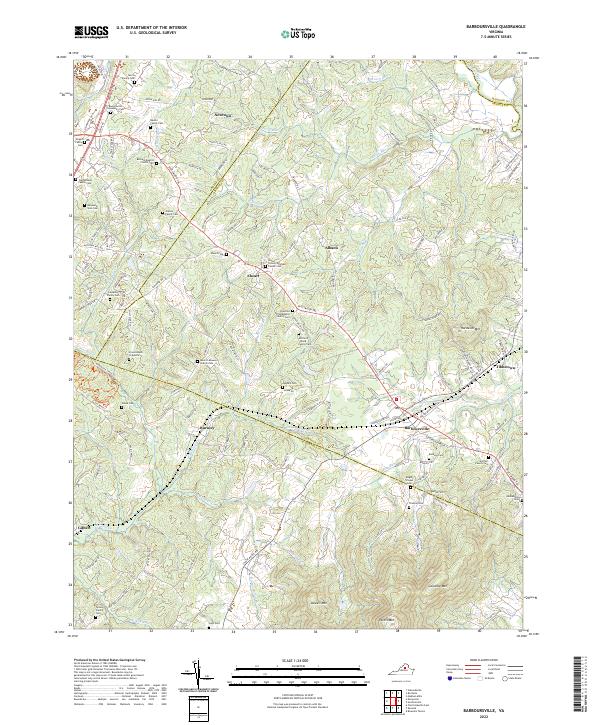 2022 Barboursville2022 Print · USGSThe Virginia Piedmont at the intersection of four counties comes to life in this contemporary survey of the Barboursville area. Genealogists and historians can trace family-named landmarks and old burial sites like the Barbour Cem or the Mitchell Wood Family Cem.
 - 2022 Map of Boswells Tavern, 2022 Print
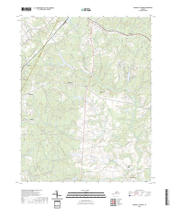 2022 Boswells Tavern2022 Print · USGSLouisa and Albemarle counties are shown here in the early twenty-first century, a landscape of historic crossroads and winding river forks. Researchers can trace family roots at the Alberts Family Cem or locate old community centers like Waldrop and Green Springs.
 - 2022 Map of Keswick, 2022 Print
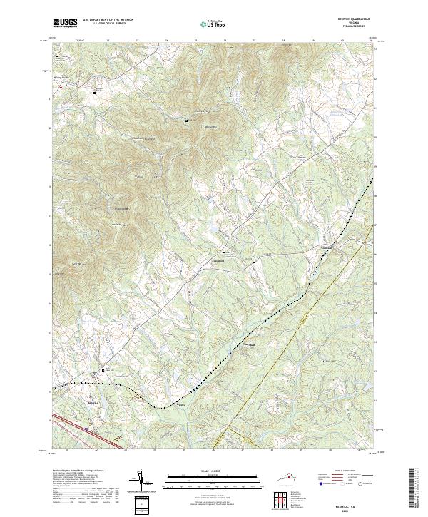 2022 Keswick2022 Print · USGSAlbemarle County's estate country and the ridges of the Southwest Mountains are shown here as they appeared in 2022. Genealogists and researchers can trace historic family lands and congregational sites like Grace Episcopal Church Cem and Castle Hill.
 - 2022 Map of Greenfield, 2022 Print
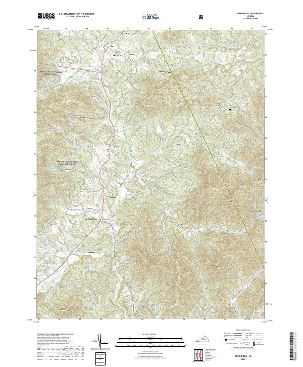 2022 Greenfield2022 Print · USGSThe foothills of the Blue Ridge are captured here in the early twenty-first century as they span the Nelson and Albemarle county line. Researchers can trace the paths of the Appalachian National Scenic Trail and locate family sites near Hebron Baptist Church Cem, Lodebar, and Martins Store.
 - 2022 Map of Earlysville, 2022 Print
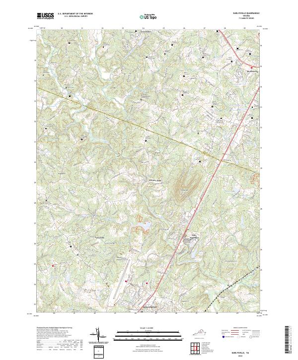 2022 Earlysville2022 Print · USGSAlbemarle County's Piedmont landscape is captured here in the early twenty-first century, showing a mix of traditional family farms and modern infrastructure. Genealogists can trace family burial grounds like the Early Family Cem or Deane Family Cem, while researchers can locate historic centers like Advance Mills.
 - 2022 Map of Charlottesville West, 2022 Print
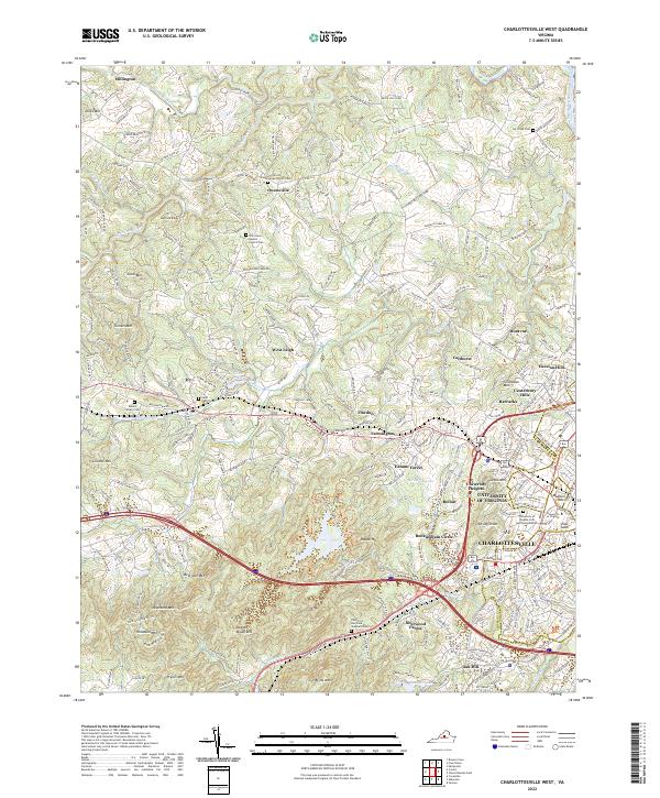 2022 Charlottesville West2022 Print · USGSWestern Albemarle County reveals its dual character as both an academic hub and a mountain gateway during the early 2020s. Researchers can trace the grounds of the University of Virginia, locate old family plots at Ivy Creek Cem, or follow the waters of Moormans River.
End of results
Showing maps 1-24 of 24
Top cities of Albemarle County
- Hollymead historical maps
- University of Virginia historical maps
- Crozet historical maps
- Pantops historical maps
- Rivanna historical maps
- Rio historical maps
See more
Frequently asked questions
- What are the different types of historical maps available for Albemarle County?
- What is the oldest map of Albemarle County?
- Where can I purchase historical maps of Albemarle County for my home or office?
- Where can I download high-res historical maps of Albemarle County?
- Are there historical topographic maps available for Albemarle County?
- Is there historical aerial imagery available for Albemarle County?
- Where are historical maps of Albemarle County sourced from?