2010s Maps of Albemarle County, Virginia
Explore 96 historic maps of Albemarle County from the 2010s. These maps offer a rare glimpse into what life looked like during the 2010s — showing old roads, neighborhoods, homes, and landmarks that have changed or disappeared over time.
Whether you're researching your family's past, planning a metal detecting trip, or studying how Albemarle County's landscape evolved across the 2010s, these high-resolution maps are a powerful tool for exploring the history of this region.
- Focus on a specific era: All maps on this page are from the 2010s, giving you a focused view of this time period.
- See what’s changed: Compare century-old streets, trails, and buildings to today's modern landscape using overlays and satellite layers.
- Research with precision: Use these maps for genealogy, historical research, land use analysis, or educational projects.
- View, download, or print: Maps are fully viewable online in high resolution, and can be downloaded or printed for your own records.
Start exploring Albemarle County's history through authentic maps from the 2010s. This is your window into the past.
Albemarle County, VA maps
(96)- 2010 Map of Howardsville, 2010 Print
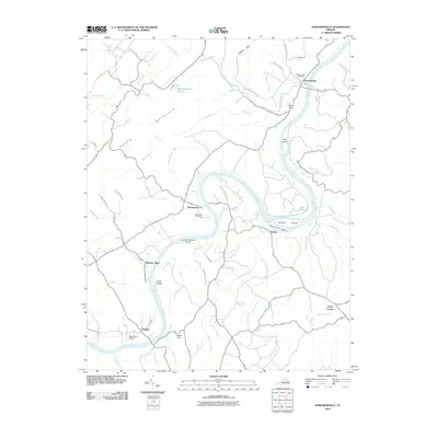 2010 Howardsville2010 Print · USGSThe James River corridor in central Virginia comes into focus during the early twenty-first century, showing a landscape shaped by river bends and rural settlements. Genealogists and local historians can locate Liberty Hall Cemetery, the Howardsville Post Office, and river-side hamlets like Warminster and Wingina.
 - 2010 Map of Esmont, 2010 Print
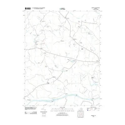 2010 Esmont2010 Print · USGSThe James River valley south of Charlottesville appears here during a period of preserved rural character and historic estate farming. Researchers can locate numerous family burial sites like the Van Clief Family Cemetery and trace river landmarks such as Hattons Ferry and Rock Island.
 - 2010 Map of Covesville, 2010 Print
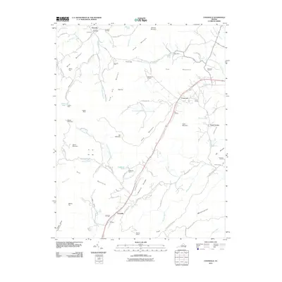 2010 Covesville2010 Print · USGSAlbemarle County's rural heart is documented here in the early 2000s, showing the established communities of Covesville and Batesville. Researchers can locate family landmarks like Boxwood Lawn or trace roots at Wild Rose Cemetery and Zion Cemetery.
 - 2010 Map of Boyd Tavern, 2010 Print
 2010 Boyd Tavern2010 Print · USGSFluvanna County at the start of the 2010s shows a landscape of growing lakeside communities and historic Piedmont crossroads. Genealogists and local historians can trace family-named sites and early industrial hubs like Union Mills, Paynes Mill, and Boyd Tavern.
 - 2010 Map of Schuyler, 2010 Print
 2010 Schuyler2010 Print · USGSThe foothills of the Virginia Blue Ridge are documented here in 2010, showing a landscape shaped by the Rockfish River and its many branches. Genealogists can locate family landmarks like Mount Shiloh Cemetery and traces of the regional economy at Bolling Siding and Curds Ford.
 - 2010 Map of Glenmore, 2010 Print
 2010 Glenmore2010 Print · USGSBuckingham County in the early twenty-first century remains a landscape of quiet creek valleys and small rural hubs. Genealogists and local historians can trace the geography of old family-named sites such as Smith Store, Paynes Millpond, and Ransons.
 - 2010 Map of Scottsville, 2010 Print
 2010 Scottsville2010 Print · USGSThe James River corridor in Albemarle County was well-established by the early 2000s, centered on the riverfront town of Scottsville. Researchers can trace old family sites and rural landmarks like the Jefferson Mill, Antioch Cemetery, and the dramatic Muleshoe Bend.
 - 2010 Map of Alberene, 2010 Print
 2010 Alberene2010 Print · USGSAlberene and the surrounding foothills of Albemarle County are captured here in the early twenty-first century as the landscape transitioned between historic agriculture and modern residential growth. Genealogists and local historians can locate several rural burial sites, such as Grace Cemetery, and trace historic property boundaries at Estouteville and Enniscorthy.
 - 2010 Map of Crimora, 2010 Print
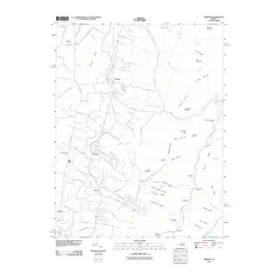 2010 Crimora2010 Print · USGSThe eastern reaches of Augusta County are shown here in the early twenty-first century as they meet the mountains. Researchers can trace family history at Old Cemetery and Mountain View Cemetery or locate the historic Crimora Mine near the park boundary.
 - 2010 Map of Gordonsville, 2010 Print
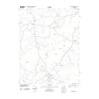 2010 Gordonsville2010 Print · USGSOrange County's Piedmont landscape at the start of the 2010s reveals a blend of historic estates and rural crossroads. Genealogists and historians can trace family sites from James Madison Cemetery and Liberty Mills to the streets of Gordonsville.
 - 2010 Map of Browns Cove, 2010 Print
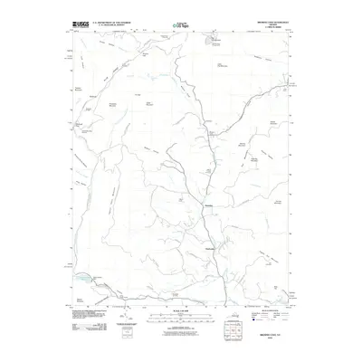 2010 Browns Cove2010 Print · USGSThe Doyles River valley and the eastern Blue Ridge heights come into focus in this late-era survey. Genealogists and hikers can trace connections between Mount Carmel Cemetery and Sandridge Cemetery or follow the Appalachian Trl through Browns Gap.
 - 2010 Map of Keswick, 2010 Print
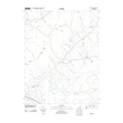 2010 Keswick2010 Print · USGSThe Piedmont estates and historic crossroads of Albemarle County are captured here in the early twenty-first century. Researchers can trace family roots and landholdings through many named sites, including Grace Cemetery, the Cobham Post Office, and the grounds of Castle Hill.
 - 2010 Map of Crozet, 2010 Print
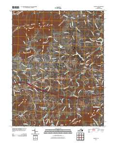 2010 Crozet2010 Print · USGSAlbemarle County's foothills are showcased here in the early twenty-first century as the area transitions between its rail-town roots and modern residential growth. Researchers can locate numerous historic burial sites such as Hillsboro Cemetery and institutions like the Miller School.
 - 2010 Map of Boswells Tavern, 2010 Print
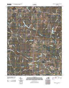 2010 Boswells Tavern2010 Print · USGSLouisa County at the turn of the decade preserves its rural character through traditional crossroads like Boswells Tavern and Waldrop. Researchers can trace local lineage through sites like Watson Cemetery and old hubs including Walkers Mill and Poindexter Post Office.
 - 2010 Map of Swift Run Gap, 2010 Print
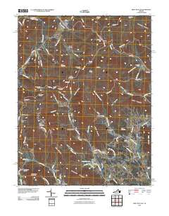 2010 Swift Run Gap2010 Print · USGSThe eastern slopes of the Blue Ridge Mountains are captured here in the decade before 2010, showing the rural settlements that border Shenandoah National Park. Researchers can trace family roots through mountain hollows to sites like Mission Home, Saint George, and Christian Cemetery.
 - 2010 Map of McGaheysville, 2010 Print
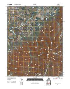 2010 McGaheysville2010 Print · USGSNear the South Fork Shenandoah River in the early 21st century, the valley settlements meet the rising Blue Ridge. Trace the path of Skyline Dr through the mountains to find Big Run Shelter, Doyles River Cabin, and Mount Olivet Cemetery.
 - 2011 Map of Greenfield, 2011 Print
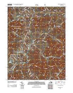 2011 Greenfield2011 Print · USGSThe Rockfish Valley in Nelson County appears here during a period of modern rural transition. Genealogists and local historians can trace family roots through the clusters at Greenfield, Martins Store, and Lodebar, or locate the Holy Cross Cemetery.
 - 2011 Map of Free Union, 2011 Print
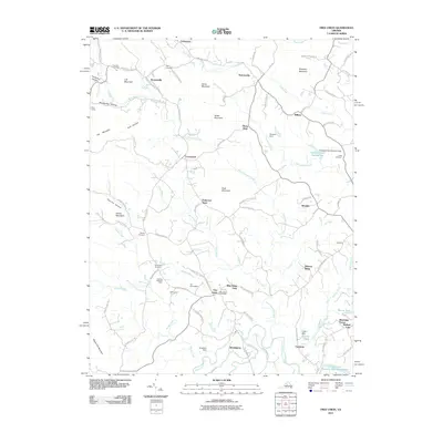 2011 Free Union2011 Print · USGSAlbemarle County settlement patterns at the turn of the twenty-first century reveal a mix of traditional family farms and residential growth near the Blue Ridge. Researchers can trace local history through Patterson Store, the Free Union Post Office, and several family cemeteries like Gentry Cemetery.
 - 2011 Map of Earlysville, 2011 Print
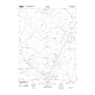 2011 Earlysville2011 Print · USGSThe rural landscape of Albemarle County comes into focus just after the millennium, showing a transition from traditional mill towns to modern regional hubs. Local historians can trace old homesteads and community sites like Advance Mills, Dunns Shop, and the Buck Mountain Cemetery.
 - 2011 Map of Waynesboro East, 2011 Print
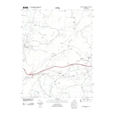 2011 Waynesboro East2011 Print · USGSThe Blue Ridge mountains meet the Shenandoah Valley in the early 2000s, showing a landscape shaped by historic transit and mountain recreation. Researchers can trace the path of the Blue Ridge Tunnel or locate family burial grounds at Mount Lebanon Cemetery and Lebanon Cemetery.
 - 2011 Map of Barboursville, 2011 Print
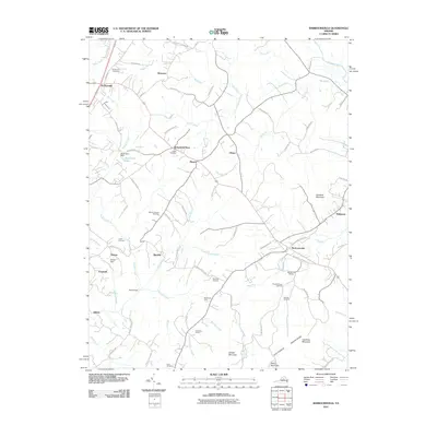 2011 Barboursville2011 Print · USGSThe Piedmont foothills and the Southwest Mountains meet in this Virginia landscape during the early twenty-first century. Genealogists and local historians can trace family locations at Dickensons Store and numerous burial sites like Eheart Cemetery or Thomas Cemetery.
 - 2011 Map of Charlottesville East, 2011 Print
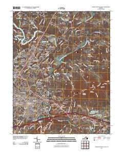 2011 Charlottesville East2011 Print · USGSCharlottesville and the surrounding Piedmont landscape are captured here during a period of suburban expansion and historic preservation. Trace the evolution of the city from the University of Virginia out toward Woolen Mills and the historic Monticello Historic Site.
 - 2011 Map of Charlottesville West, 2011 Print
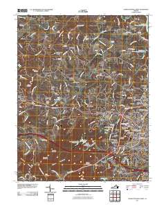 2011 Charlottesville West2011 Print · USGSAlbemarle County in the early 2000s shows the continued growth of the University of Virginia and its neighboring residential communities. Genealogists and local historians can trace legacy sites like Saint Pauls Cemetery and the Ivy Post Office alongside modern landmarks such as the John Paul Jones Arena.
 - 2011 Map of Simeon, 2011 Print
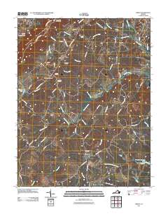 2011 Simeon2011 Print · USGSAlbemarle County's Piedmont landscape is captured here in the early twenty-first century, showing a transition from historic estates to modern vineyards. Researchers can trace family sites like Ash Lawn Cemetery and Slate Hill Cemetery or follow the path of the Rivanna River.
 - 2013 Map of Keswick, 2013 Print
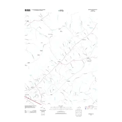 2013 Keswick2013 Print · USGSThe Piedmont countryside near the Southwest Mountains appears here in the early twenty-first century, showing a landscape of storied estates and small communities. Trace historical landholdings and rural landmarks like Castle Hill, Poorhouse Farm, and Merrie Mill.
Showing maps 1-25 of 96
Top cities of Albemarle County
- Hollymead historical maps
- University of Virginia historical maps
- Crozet historical maps
- Pantops historical maps
- Rivanna historical maps
- Rio historical maps
See more
Frequently asked questions
- What are the different types of historical maps available for Albemarle County?
- What is the oldest map of Albemarle County?
- Where can I purchase historical maps of Albemarle County for my home or office?
- Where can I download high-res historical maps of Albemarle County?
- Are there historical topographic maps available for Albemarle County?
- Is there historical aerial imagery available for Albemarle County?
- Where are historical maps of Albemarle County sourced from?