2010s Maps of Caroline County, Virginia
Explore 84 historic maps of Caroline County from the 2010s. These maps offer a rare glimpse into what life looked like during the 2010s — showing old roads, neighborhoods, homes, and landmarks that have changed or disappeared over time.
Whether you're researching your family's past, planning a metal detecting trip, or studying how Caroline County's landscape evolved across the 2010s, these high-resolution maps are a powerful tool for exploring the history of this region.
- Focus on a specific era: All maps on this page are from the 2010s, giving you a focused view of this time period.
- See what’s changed: Compare century-old streets, trails, and buildings to today's modern landscape using overlays and satellite layers.
- Research with precision: Use these maps for genealogy, historical research, land use analysis, or educational projects.
- View, download, or print: Maps are fully viewable online in high resolution, and can be downloaded or printed for your own records.
Start exploring Caroline County's history through authentic maps from the 2010s. This is your window into the past.
Caroline County, VA maps
(84)- 2010 Map of Lake Anna East, 2010 Print
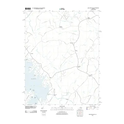 2010 Lake Anna East2010 Print · USGSSpotsylvania County's landscape at the start of the 2010s shows a mix of rural crossroads and the sprawling waters of Lake Anna. Genealogists and local historians can trace family-named sites like Wallers Cemetery, Penneys Crossroad, and the Partlow Post Office.
 - 2010 Map of Guinea, 2010 Print
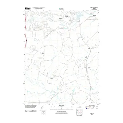 2010 Guinea2010 Print · USGSCaroline County at the start of the 21st century remains a landscape deeply rooted in its Civil War and agricultural past. Researchers can trace family sites at Hopewell Cemetery and Jackson Shrine, or locate old waterworks like Daltons Millpond.
 - 2010 Map of Rappahannock Academy, 2010 Print
 2010 Rappahannock Academy2010 Print · USGSCoastal Virginia's river-driven geography comes to life in this study of the Rappahannock's complex reaches and interior crossroads. Genealogists can trace family footprints through the many named junctions like Skinkers Corner and Bullocks Corner, or locate Bethesda Church.
 - 2010 Map of Woodford, 2010 Print
 2010 Woodford2010 Print · USGSCentral Caroline County remained a landscape of river confluences and quiet crossroads communities during the early 2000s. Genealogists and historians can trace legacy sites like Bethel Cemetery, Burkes Shop, and the waters of Boulwares Millpond.
 - 2010 Map of Ladysmith, 2010 Print
 2010 Ladysmith2010 Print · USGSCaroline County at the start of the 2010s shows a landscape of growing lake communities alongside traditional Virginia crossroads. Researchers can trace family-named corners and burial sites like Rehoboth Cemetery and Blades Corner, or locate the historic Colemans Mill.
 - 2010 Map of Bowling Green, 2010 Print
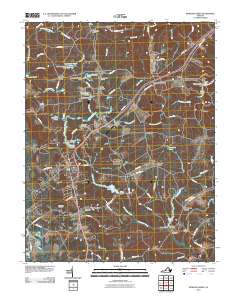 2010 Bowling Green2010 Print · USGSBowling Green and the surrounding Caroline County countryside are shown here in the early twenty-first century, just as the regional landscape was being shaped by the presence of Fort A P Hill. Researchers can trace family history through several burial sites like Green Lawn Cemetery or locate historic crossroads at Antioch Fork and Poorhouse Corner.
 - 2010 Map of Loretto, 2010 Print
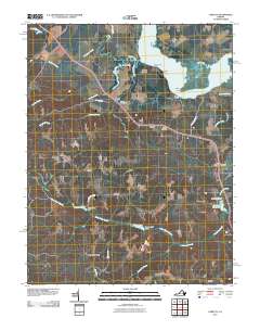 2010 Loretto2010 Print · USGSCoastal Essex County and the banks of the Rappahannock River are captured here in the early twenty-first century. Researchers can trace land use around historic river landings and rural crossroads like Hustle, Vauters Churchyard, and Saunders Wharf.
 - 2010 Map of Ashland, 2010 Print
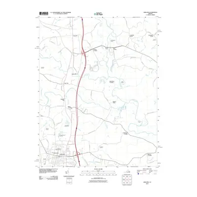 2010 Ashland2010 Print · USGSHanover County's river valleys and the growing town of Ashland are captured here in the first decade of the millennium. Researchers can trace the junction of the North Anna River and South Anna River or locate historic landmarks like Ashland Mill and Concord Cemetery.
 - 2010 Map of Cauthornville, 2010 Print
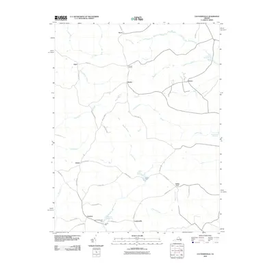 2010 Cauthornville2010 Print · USGSCoastal Virginia's inland rural corridors are shown here just after the first decade of the millennium, centered on agricultural hamlets and creek-side industry. Genealogists and historians can trace family roots through settlements like Owenton and Cauthornville or explore the sites of Garnett Mill and Kochs Dam.
 - 2010 Map of Hanover, 2010 Print
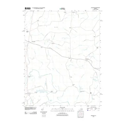 2010 Hanover2010 Print · USGSIn this corner of rural Virginia, the Pamunkey River basin reveals a landscape of longstanding family settlements and historical river crossings. Genealogists can trace family roots through sites like Bethel Cemetery, the Etna Mills crossroads, and the community at Mangohick.
 - 2010 Map of Hewlett, 2010 Print
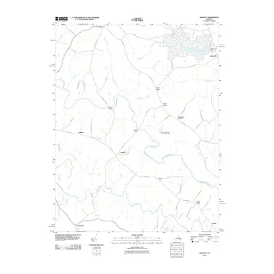 2010 Hewlett2010 Print · USGSIn the early twenty-first century, this Caroline County area shows a blend of old river-valley hamlets and newer lakeside residential development. Genealogists can trace the rural landscape near Hewlett, Noel, and historical crossings like Landora Bridge.
 - 2010 Map of Beaverdam, 2010 Print
 2010 Beaverdam2010 Print · USGSLouisa County’s rural crossroads and watercourses are documented here just after the first decade of the millennium. Genealogists can trace property access and local landmarks from Greenes Corner to Old Bandana, or locate the Bumpass Post Office and Anderson Bridge.
 - 2010 Map of Sparta, 2010 Print
 2010 Sparta2010 Print · USGSCoastal Virginia crossroads and wetlands are captured in the late 2000s, showing a landscape defined by the winding Mattaponi River. Genealogists and local historians can trace small communities like Lauraville and Newtown or locate Salem Cemetery.
 - 2010 Map of Ruther Glen, 2010 Print
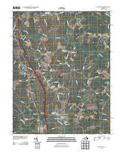 2010 Ruther Glen2010 Print · USGSCaroline County at the start of the 2010s remains a landscape of crossroads settlements and river branches. Researchers can trace family history through sites like Saint Margarets Cemetery or locate old industrial landmarks such as Boulwares Millpond and Colemans Mill Crossing.
 - 2011 Map of Supply, 2011 Print
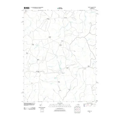 2011 Supply2011 Print · USGSCaroline County at the dawn of the 2010s reveals a unique landscape where military grounds meet old family settlements. Genealogists and historians can trace lineage through Kay Cemetery, locate the community at Naulakla, or explore the swampy reaches of Black Water Swamp.
 - 2011 Map of Port Royal, 2011 Print
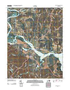 2011 Port Royal2011 Print · USGSThe Rappahannock River landscape is captured here in the early twenty-first century, showing the enduring ties between water and settlement. Researchers can trace historic properties and rural centers from Port Royal to Belle Grove and Emmanuel Cemetery.
 - 2011 Map of King George, 2011 Print
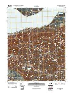 2011 King George2011 Print · USGSKing George County at the turn of the decade reveals a landscape of riverfront retreats and deep-rooted rural crossroads. Researchers can trace local lineage through sites like Hanover Cemetery or explore the waterfront history of Stuart Wharf and Somerset Beach.
 - 2011 Map of Passapatanzy, 2011 Print
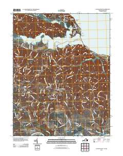 2011 Passapatanzy2011 Print · USGSThe Potomac and Rappahannock Rivers frame this King George County landscape during its modern residential growth. Genealogists and local historians can trace family-named sites like Johnsons Corner or locate several community burial grounds, including Union Belle Cemetery and Oakland Cemetery.
 - 2011 Map of Rollins Fork, 2011 Print
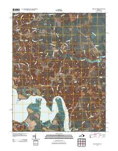 2011 Rollins Fork2011 Print · USGSCoastal Virginia and the Northern Neck come to life in this early twenty-first-century survey of the riverbanks and crossroads. Researchers can trace family sites and local landmarks from Shiloh Cemetery to the waterfront at Wilmot Wharf and Nanzatico Bay.
 - 2011 Map of Penola, 2011 Print
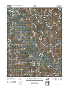 2011 Penola2011 Print · USGSCoastal plain wetlands and rural crossroads define this Caroline County landscape in the early twenty-first century. Genealogists can locate family sites near Rosehill Cemetery or trace the legacy of local industry at Reedy Mill and Chenaults Shop.
 - 2011 Map of Beulahville, 2011 Print
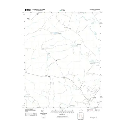 2011 Beulahville2011 Print · USGSKing William County at the turn of the decade is defined by its deep agricultural roots and the winding Mattaponi River. Researchers can trace the legacy of local industry and faith at Herring Creek Mill, Mitchell Mill, and Beulah Church.
 - 2013 Map of King George, 2013 Print
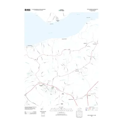 2013 King George2013 Print · USGSCoastal Virginia and the Northern Neck come into focus in the early twenty-first century as riverfront life meets inland tradition. Researchers can trace local landmarks like Stuart Wharf, the crossroads at Arnolds Corner, and the waters of Mason Millpond.
 - 2013 Map of Guinea, 2013 Print
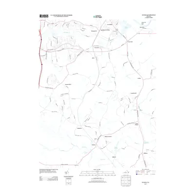 2013 Guinea2013 Print · USGSThis part of Caroline and Spotsylvania counties is shown in the early twenty-first century, centered on the historic crossroads at Guinea. Genealogists and historians can locate the Jackson Shrine, trace the three local rivers, and explore small settlements like Claiborne and Flippos Corner.
 - 2013 Map of Loretto, 2013 Print
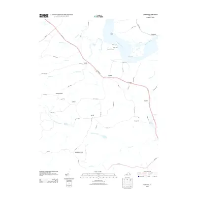 2013 Loretto2013 Print · USGSThe Rappahannock River waterfront and its surrounding farm country are captured here in the early twenty-first century. Researchers can trace land use through local landmarks like Saunders Wharf, Spindles Millpond, and the historic crossing at Bethlehem Fork.
 - 2013 Map of Rollins Fork, 2013 Print
 2013 Rollins Fork2013 Print · USGSThe Westmoreland County waterfront and rural crossroads are captured here during the early twenty-first century. Genealogists and local historians can trace family land and old river landings at Greenlaw Wharf, Leesville, and Dickinsons Corner.
Showing maps 1-25 of 84
Top cities of Caroline County
- Lake Land'Or historical maps
- Lake Caroline historical maps
- Bowling Green historical maps
- Port Royal historical maps
Frequently asked questions
- What are the different types of historical maps available for Caroline County?
- What is the oldest map of Caroline County?
- Where can I purchase historical maps of Caroline County for my home or office?
- Where can I download high-res historical maps of Caroline County?
- Are there historical topographic maps available for Caroline County?
- Is there historical aerial imagery available for Caroline County?
- Where are historical maps of Caroline County sourced from?