2020s Maps of Floyd County, Virginia
Explore 16 historic maps of Floyd County from the 2020s. These maps offer a rare glimpse into what life looked like during the 2020s — showing old roads, neighborhoods, homes, and landmarks that have changed or disappeared over time.
Whether you're researching your family's past, planning a metal detecting trip, or studying how Floyd County's landscape evolved across the 2020s, these high-resolution maps are a powerful tool for exploring the history of this region.
- Focus on a specific era: All maps on this page are from the 2020s, giving you a focused view of this time period.
- See what’s changed: Compare century-old streets, trails, and buildings to today's modern landscape using overlays and satellite layers.
- Research with precision: Use these maps for genealogy, historical research, land use analysis, or educational projects.
- View, download, or print: Maps are fully viewable online in high resolution, and can be downloaded or printed for your own records.
Start exploring Floyd County's history through authentic maps from the 2020s. This is your window into the past.
Floyd County, VA maps
(16)- 2022 Map of Pilot, 2022 Print
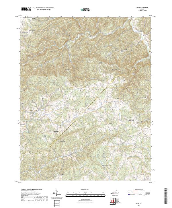 2022 Pilot2022 Print · USGSThe high ridges of Montgomery and Floyd counties meet here in the early twenty-first century, showing a landscape defined by mountain gaps and river headwaters. Genealogists and local historians can trace family locations near Oak Grove, Huffville, and the Oak Grove Cemetery.
 - 2022 Map of Callaway, 2022 Print
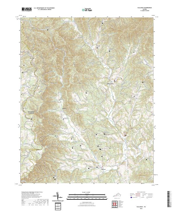 2022 Callaway2022 Print · USGSFranklin County's mountain hollows and river forks are documented here in the early twenty-first century. Researchers can trace family lineages through numerous remote burial sites, including the Guerrant Calloway Cem, Toney Cem, and Dillons Mill.
 - 2022 Map of Check, 2022 Print
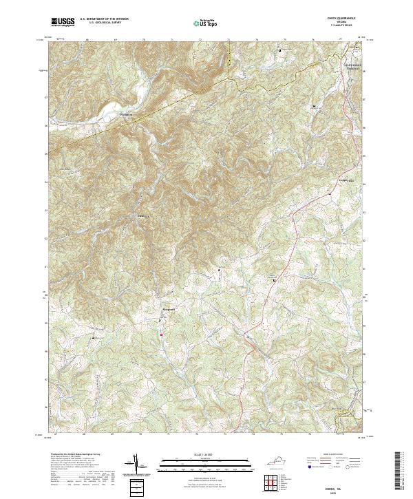 2022 Check2022 Print · USGSThe rural uplands of Floyd and Montgomery counties are captured in this modern survey of the Blue Ridge borderlands. Genealogists and historians can trace family locations through numerous sites like Halls Cem, Simpsons, and Salem Church Cem.
 - 2022 Map of Radford South, 2022 Print
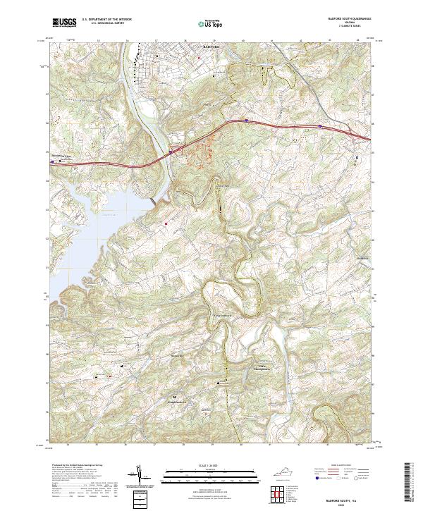 2022 Radford South2022 Print · USGSThe Radford area and its rural surroundings appear here as the highlands descend toward the New River valley. Researchers can trace family history through numerous burial sites like Dishon Cem and Covey Showalter Cem, or explore the old routes through Snowville and Graysontown.
 - 2022 Map of Riner, 2022 Print
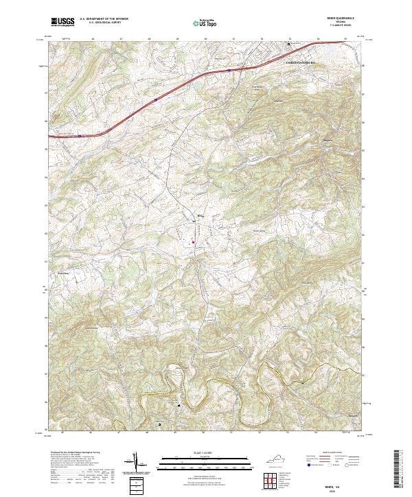 2022 Riner2022 Print · USGSThe foothills of the Blue Ridge southwest of Christiansburg are shown in this contemporary study of Montgomery and Floyd counties. Researchers can locate family landmarks like Sutphin Cem and small communities such as Broad Shoals and Union Valley.
 - 2022 Map of Meadows of Dan, 2022 Print
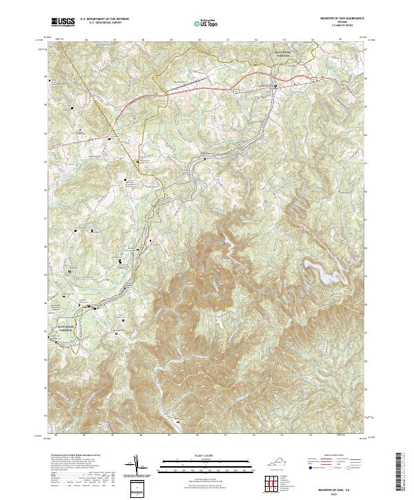 2022 Meadows of Dan2022 Print · USGSHigh atop the Blue Ridge in the early 2020s, this area maintains its character as a landscape of small family homesteads and mountain churches. Genealogists can trace family lines through the James Bowman Cem, Stanley Cem, and Mayberry Presbyterian Church Cem.
 - 2022 Map of Endicott, 2022 Print
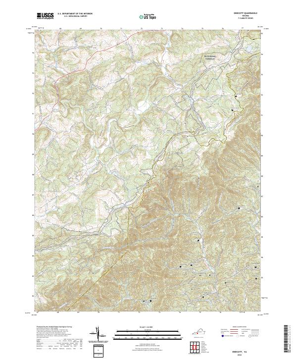 2022 Endicott2022 Print · USGSThe Blue Ridge highlands at the Floyd and Franklin county line are shown here in modern detail. Genealogists can locate numerous family landmarks like the Ingram Family Cemetery, John A Nolen Cemetery, and the settlement of Endicott.
 - 2022 Map of Willis, 2022 Print
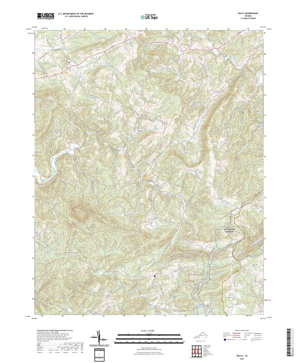 2022 Willis2022 Print · USGSThe high ridges of Floyd and Patrick counties are captured here in the early twenty-first century, centered on the Blue Ridge Parkway. Researchers can trace local genealogy and land use through features like the Shelor Cem, Mabry Mill Pond, and Willis Mill Rd NW.
 - 2022 Map of Indian Valley, 2022 Print
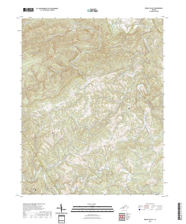 2022 Indian Valley2022 Print · USGSFloyd and Montgomery counties are captured in this modern survey of the Blue Ridge highlands. Genealogists and local historians can trace family land via Big Sand Cem, the Tade Quesenberry Cem, and the remote Lost Cem along the Mira Fork.
 - 2022 Map of Charity, 2022 Print
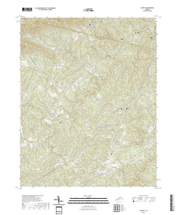 2022 Charity2022 Print · USGSThe Virginia Piedmont near the Patrick County borders is shown here in the 2020s, revealing a landscape deeply rooted in family history. Genealogists can locate numerous ancestral sites like the Goblintown Cem, McAlexander Cem, and the Moran Family Cem along the Smith River.
 - 2022 Map of Floyd, 2022 Print
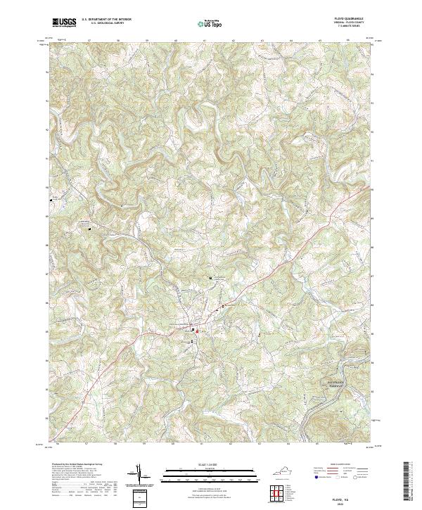 2022 Floyd2022 Print · USGSFloyd and the surrounding Blue Ridge highlands are captured here in their contemporary form. Researchers can trace ancestral lines through numerous sites like Jacksonville Cem and Big Oak Cem or follow the route of the Blue Ridge Parkway.
 - 2022 Map of Alum Ridge, 2022 Print
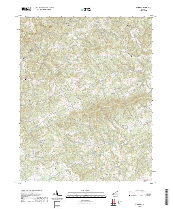 2022 Alum Ridge2022 Print · USGSFloyd County highlands are captured here in the early twenty-first century, showing a landscape defined by deep ridges and mountain streams. Family historians can trace local heritage through several burial sites like Duncan Cem and White Rock Cem along the Little River corridor.
 - 2022 Map of Woolwine, 2022 Print
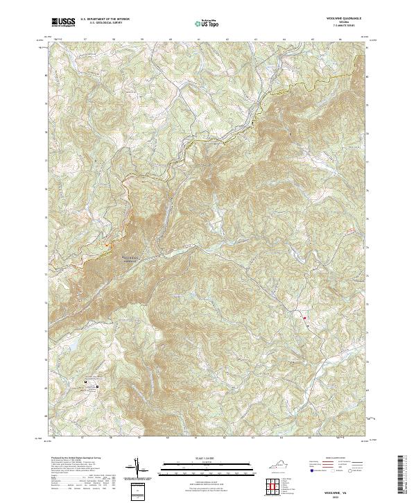 2022 Woolwine2022 Print · USGSThe Floyd and Patrick County borderlands come into focus in this recent survey of the Blue Ridge highlands. Researchers can trace ancestral roots at the Mountain View United Methodist Church Cem or follow the winding Blue Ridge Parkway past Tuggles Gap.
 - 2022 Map of Ferrum, 2022 Print
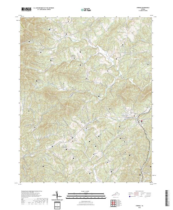 2022 Ferrum2022 Print · USGSThe foothills of the Blue Ridge come into sharp focus here in the early 2020s, centered on the campus of Ferrum College. Researchers can trace generations of local history through dozens of family-named sites like Phoebe Needles Cem and the James Harvey Bridges Cem.
 - 2022 Map of Hiwassee, 2022 Print
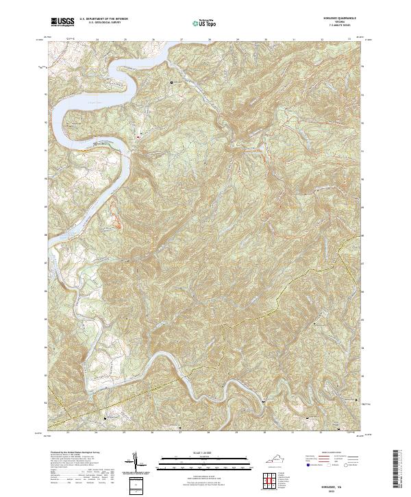 2022 Hiwassee2022 Print · USGSThe New River valley and the waters of Claytor Lake define this Virginia landscape at the start of the 2020s. Genealogists can locate several family burial sites like Hurst Cem and Jimmy Marshall Cem tucked among the ridges.
 - 2022 Map of Dugspur, 2022 Print
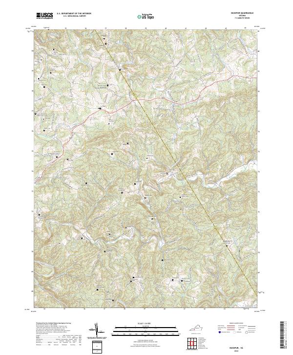 2022 Dugspur2022 Print · USGSThe Blue Ridge highlands of Carroll and Floyd counties are shown here in the early twenty-first century, centered on the landmark Buffalo Mountain. Genealogists and historians can trace family roots through numerous sites like William Cox Cem, Mitchell Chapel Pentecostal Holiness Church Cem, and McPeak Cem.
End of results
Showing maps 1-16 of 16
Top cities of Floyd County
Frequently asked questions
- What are the different types of historical maps available for Floyd County?
- What is the oldest map of Floyd County?
- Where can I purchase historical maps of Floyd County for my home or office?
- Where can I download high-res historical maps of Floyd County?
- Are there historical topographic maps available for Floyd County?
- Is there historical aerial imagery available for Floyd County?
- Where are historical maps of Floyd County sourced from?