2020s Maps of King William County, Virginia
Explore 12 historic maps of King William County from the 2020s. These maps offer a rare glimpse into what life looked like during the 2020s — showing old roads, neighborhoods, homes, and landmarks that have changed or disappeared over time.
Whether you're researching your family's past, planning a metal detecting trip, or studying how King William County's landscape evolved across the 2020s, these high-resolution maps are a powerful tool for exploring the history of this region.
- Focus on a specific era: All maps on this page are from the 2020s, giving you a focused view of this time period.
- See what’s changed: Compare century-old streets, trails, and buildings to today's modern landscape using overlays and satellite layers.
- Research with precision: Use these maps for genealogy, historical research, land use analysis, or educational projects.
- View, download, or print: Maps are fully viewable online in high resolution, and can be downloaded or printed for your own records.
Start exploring King William County's history through authentic maps from the 2020s. This is your window into the past.
King William County, VA maps
(12)- 2022 Map of Truhart, 2022 Print
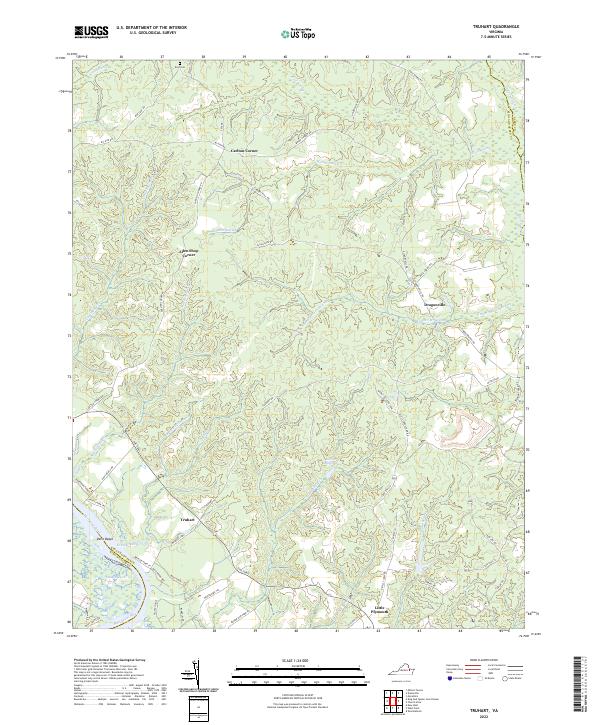 2022 Truhart2022 Print · USGSThe King and Queen County countryside and the winding Mattaponi River are captured here in the contemporary era. Researchers can trace rural landmarks and family-named crossroads such as Dragonville, Exol Cem, and the wetlands of Allens Millpond.
 - 2022 Map of King And Queen Court House, 2022 Print
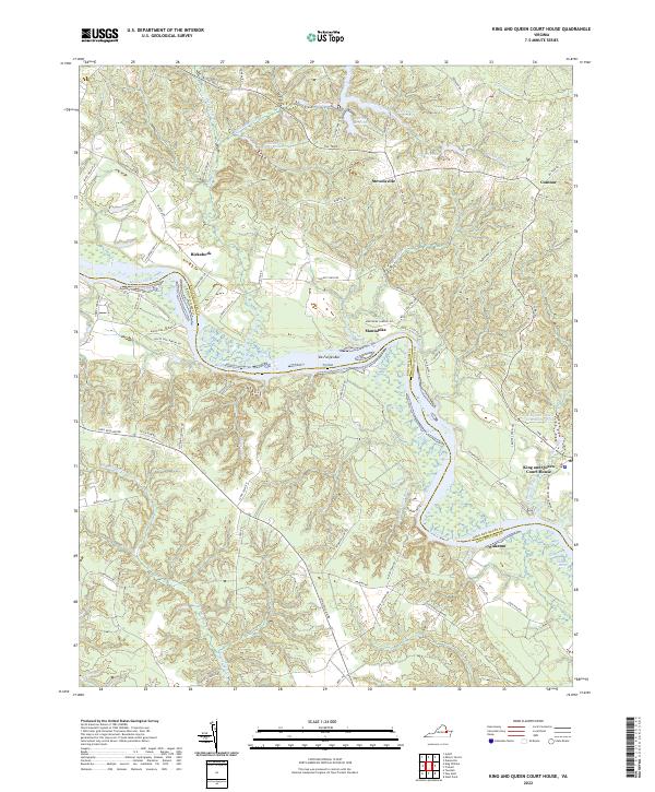 2022 King And Queen Court House2022 Print · USGSThe Tidewater region comes into focus in this recent survey of the rural communities and riverlands along the Mattaponi River. Researchers can locate historic hubs like King and Queen Court House and trace the complex wetland reaches of Market Swamp and Exol Swamp.
 - 2022 Map of New Kent, 2022 Print
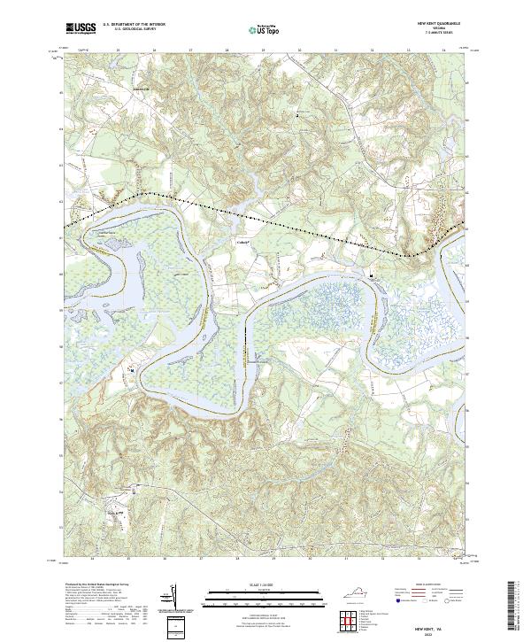 2022 New Kent2022 Print · USGSThe Pamunkey River corridor in the early twenty-first century reveals a landscape defined by expansive tidal marshes and colonial-era settlement patterns. Genealogists and historians can trace family landmarks like Bethany Cem, Cooks Millpond, and the New Kent County Courthouse.
 - 2022 Map of King William, 2022 Print
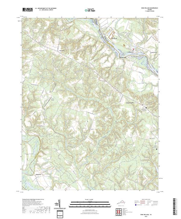 2022 King William2022 Print · USGSKing William and the surrounding Tidewater countryside are mapped here in the early 2020s, bordered by the Mattaponi and Pamunkey Rivers. Researchers can locate the King William County Courthouse and burial sites at Saint James Presbyterian Church Cem and Jerusalem Christian Church Cem.
 - 2022 Map of Hanover, 2022 Print
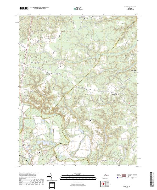 2022 Hanover2022 Print · USGSThe Pamunkey River valley at the start of the 2020s remains a landscape of deep-rooted rural communities and historic courthouse grounds. Researchers can trace family ties at Luther Cem or explore the old crossroads of Etna Mills and Mangohick.
 - 2022 Map of Sparta, 2022 Print
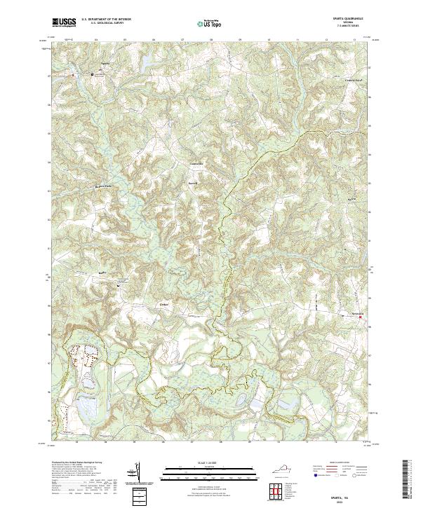 2022 Sparta2022 Print · USGSVirginia's coastal plain comes into focus in this recent survey of the rural communities near the Caroline and King and Queen county line. Genealogists can trace family footprints around Salem Baptist Church and old settlements like Butlers Fork or Central Point.
 - 2022 Map of Tunstall, 2022 Print
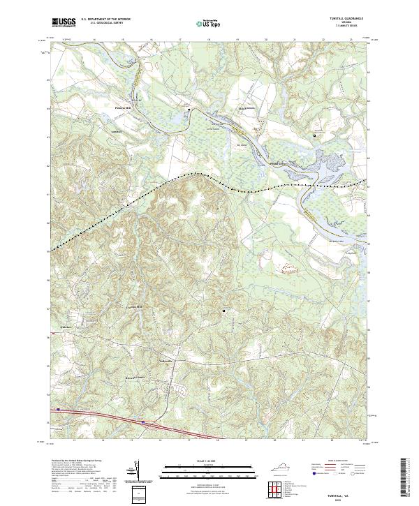 2022 Tunstall2022 Print · USGSNew Kent and King William counties are shown here in the modern era, where the Pamunkey River winds past ancient landholdings and river bars. Trace family roots and local history at Saint Peters Cem, the old crossroads of Tallysville, and the riverfront at Poplar Grove.
 - 2022 Map of Beulahville, 2022 Print
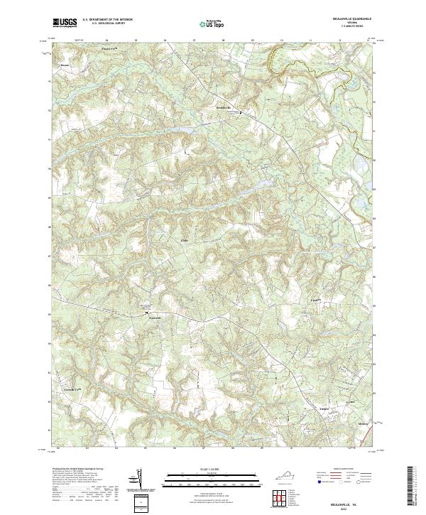 2022 Beulahville2022 Print · USGSKing William County's rural landscape is captured here in the early twenty-first century, showing a network of historic millponds and crossroads hamlets. Genealogists can trace family roots at Beulah Baptist Church Cem or locate the old centers of Epworth and Venter.
 - 2022 Map of Manquin, 2022 Print
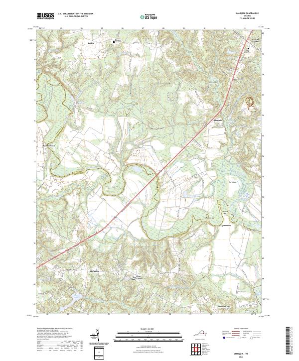 2022 Manquin2022 Print · USGSThe Pamunkey River corridor is captured here in the early twenty-first century as it forms the boundary of Hanover and King William counties. Researchers can trace ancestral sites and rural landmarks like Old Church, Hanovertown, and the Sharon Baptist Church Cem.
 - 2022 Map of Studley, 2022 Print
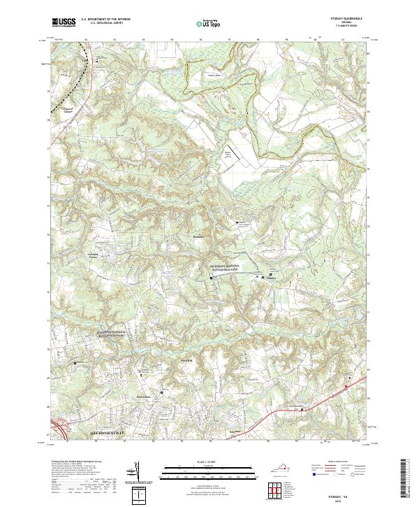 2022 Studley2022 Print · USGSHanover County at the start of the 2020s remains a landscape where Civil War history and rural heritage meet expanding modern life. Researchers can trace historic churchyards and community sites like Salem Presbyterian Church Cem, Pole Green, and the sprawling reaches of the Richmond National Battlefield Park.
 - 2022 Map of Aylett, 2022 Print
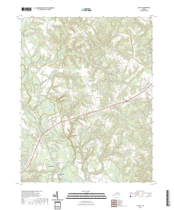 2022 Aylett2022 Print · USGSThe Mattaponi River corridor comes into sharp focus during the early twenty-first century, showing the enduring rural character of King and Queen County. Genealogists and local historians can locate Aylett Mill, the Shepherd's United Methodist Church Cem, and river landmarks like Walker Bar.
 - 2022 Map of West Point, 2022 Print
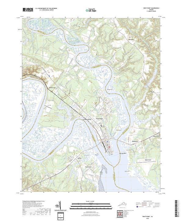 2022 West Point2022 Print · USGSThe confluence of the Mattaponi River and Pamunkey River is captured here in the early twenty-first century, showing the tidewater geography of King William County. Researchers can trace the streets of West Point, locate Sunny Slope Cem, or find rural points like Shanghai.
End of results
Showing maps 1-12 of 12
Top cities of King William County
Frequently asked questions
- What are the different types of historical maps available for King William County?
- What is the oldest map of King William County?
- Where can I purchase historical maps of King William County for my home or office?
- Where can I download high-res historical maps of King William County?
- Are there historical topographic maps available for King William County?
- Is there historical aerial imagery available for King William County?
- Where are historical maps of King William County sourced from?