2000s (21st Century) Maps of Orange, Virginia
Explore 4 historic maps of Orange from the 2000s (21st Century). These maps offer a rare glimpse into what life looked like during the 2000s — showing old roads, neighborhoods, homes, and landmarks that have changed or disappeared over time.
Whether you're researching your family's past, planning a metal detecting trip, or studying how Orange's landscape evolved across the 2000s, these high-resolution maps are a powerful tool for exploring the history of this region.
- Focus on a specific era: All maps on this page are from the 2000s, giving you a focused view of this time period.
- See what’s changed: Compare century-old streets, trails, and buildings to today's modern landscape using overlays and satellite layers.
- Research with precision: Use these maps for genealogy, historical research, land use analysis, or educational projects.
- View, download, or print: Maps are fully viewable online in high resolution, and can be downloaded or printed for your own records.
Start exploring Orange's history through authentic maps from the 2000s. This is your window into the past.
Orange, VA maps
(4)- 2022 Map of Rapidan, 2022 Print
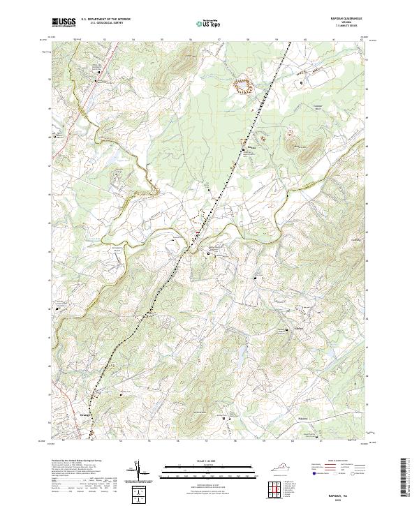 2022 Rapidan2022 Print · USGSThe Piedmont countryside at the meeting of Culpeper and Orange Counties remains a landscape of family legacy and river junctions. Researchers can trace ancestral roots through dozens of local sites like Jerdone Cem, Taylor-Quarles Family Cem, and the Waddell Memorial Presbyterian Church.
 - 2022 Map of Madison Mills, 2022 Print
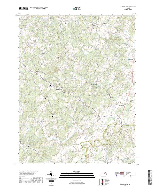 2022 Madison Mills2022 Print · USGSMadison and Orange Counties come together along the Rapidan River in this modern survey of central Virginia. Researchers can trace ancestral lines through numerous family plots like the Madison - Taliaferro Family Cem and Dade - Cason Cem near Madison Mills.
 - 2022 Map of Gordonsville, 2022 Print
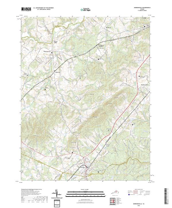 2022 Gordonsville2022 Print · USGSGordonsville and the surrounding Piedmont country are captured here in the early twenty-first century, showing a landscape of family estates and transit hubs. Researchers can trace ancestral roots through numerous local burial sites like Maplewood Cem, Woodbury Cem, and the Augustine Webb Cem.
 - 2022 Map of Orange, 2022 Print
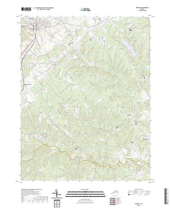 2022 Orange2022 Print · USGSThis Piedmont landscape centered on Orange, Virginia, shows the area’s evolution into the twenty-first century. Researchers can trace deep family roots through numerous burial sites like the Finnell Family Cem or locate community centers such as Shady Grove Baptist Church.
End of results
Showing maps 1-4 of 4
Top cities near Orange
- Culpeper historical maps
- Louisa historical maps
- Gordonsville historical maps
- Brightwood historical maps
- Blue Ridge Shores historical maps
- Madison historical maps
See more
Top neighborhoods of Orange
Frequently asked questions
- What are the different types of historical maps available for Orange?
- What is the oldest map of Orange?
- Where can I purchase historical maps of Orange for my home or office?
- Where can I download high-res historical maps of Orange?
- Are there historical topographic maps available for Orange?
- Is there historical aerial imagery available for Orange?
- Where are historical maps of Orange sourced from?