2010s Maps of Poquoson, Virginia
Explore 19 historic maps of Poquoson from the 2010s. These maps offer a rare glimpse into what life looked like during the 2010s — showing old roads, neighborhoods, homes, and landmarks that have changed or disappeared over time.
Whether you're researching your family's past, planning a metal detecting trip, or studying how Poquoson's landscape evolved across the 2010s, these high-resolution maps are a powerful tool for exploring the history of this region.
- Focus on a specific era: All maps on this page are from the 2010s, giving you a focused view of this time period.
- See what’s changed: Compare century-old streets, trails, and buildings to today's modern landscape using overlays and satellite layers.
- Research with precision: Use these maps for genealogy, historical research, land use analysis, or educational projects.
- View, download, or print: Maps are fully viewable online in high resolution, and can be downloaded or printed for your own records.
Start exploring Poquoson's history through authentic maps from the 2010s. This is your window into the past.
Poquoson, VA maps
(19)- 2010 Map of Poquoson West, 2010 Print
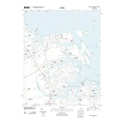 2010 Poquoson West2010 Print · USGSThe Virginia Peninsula is shown here in the early twenty-first century as a network of creek-side communities and maritime industry. Researchers can locate family landmarks like Zion Cemetery, the historic Harwoods Mill, and the coastal Tue Marshes Lighthouse.
 - 2011 Map of Newport News North, 2011 Print
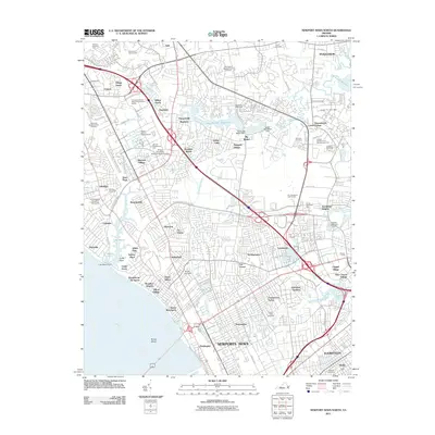 2011 Newport News North2011 Print · USGSThe Virginia Peninsula is captured here in the early twenty-first century as a hub of military and scientific innovation. Researchers can trace established neighborhoods and landmarks like Hilton Village, Big Bethel Battlefield, and the Thomas Jefferson National Accelerator Facility.
 - 2011 Map of Hampton, 2011 Print
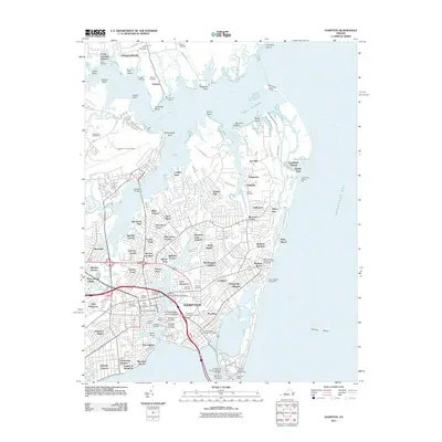 2011 Hampton2011 Print · USGSCoastal Virginia at the turn of the decade reveals a dense mix of military heritage and maritime life along the Chesapeake Bay. Genealogists and historians can trace family locations near Hampton National Cemetery, Buckroe Beach, or the historic Phoebus area.
 - 2011 Map of Poquoson East, 2011 Print
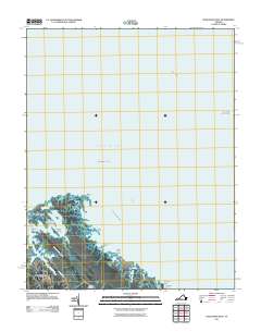 2011 Poquoson East2011 Print · USGSCoastal Virginia's marshy edges and tidal inlets are meticulously detailed in this early twenty-first-century survey. Genealogists and local historians can trace the roads around Odd and Poquoson, or locate family sites near Eastern Cemetery and Blackwalnut Ridge.
 - 2013 Map of Poquoson East, 2013 Print
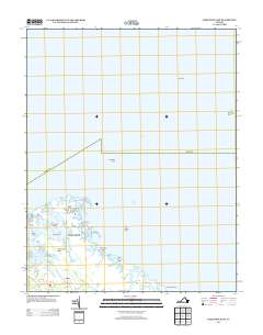 2013 Poquoson East2013 Print · USGSThe Virginia coast near the Lower Peninsula is captured here in the early twenty-first century, showing a shifting landscape of tidal marshes and bays. Genealogists and local historians can trace the roads around Odd or locate coastal landmarks like York Spit Lighthouse and Blackwalnut Ridge.
 - 2013 Map of Newport News North, 2013 Print
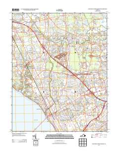 2013 Newport News North2013 Print · USGSThe Virginia Peninsula is shown here during a period of intense military and scientific activity in the early twenty-first century. Researchers can trace the layout of Langley Air Force Base or locate established neighborhoods like Hilton Village and Drummonds Corner.
 - 2013 Map of East of Poquoson East, 2013 Print
 2013 East of Poquoson East2013 Print · USGSCoastal Virginia waters and the maritime reaches of Poquoson are the focus of this maritime-heavy survey from 2013. Local researchers and maritime historians can trace the precise political boundaries and expanse of the Chesapeake Bay shoreline at the start of the century.
 - 2013 Map of Hampton, 2013 Print
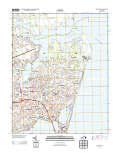 2013 Hampton2013 Print · USGSHampton and its surrounding peninsula are shown in detail during the early 21st century, highlighting a landscape defined by military aviation and historic maritime access. Researchers can trace neighborhood growth through Kecoughtan and Phoebus or locate waterfront landmarks like the Old Point Comfort Lighthouse and Buckroe Beach.
 - 2013 Map of Poquoson West, 2013 Print
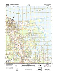 2013 Poquoson West2013 Print · USGSThe Virginia Peninsula comes into focus in this recent study of the coastal reaches between the York River and Chesapeake Bay. Researchers can trace the modern waterfront from the Yorktown Refinery to residential clusters like Poquoson Shores and Robanna Shores.
 - 2016 Map of East of Poquoson East, 2016 Print
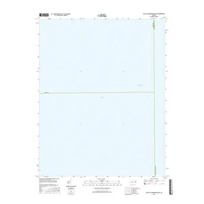 2016 East of Poquoson East2016 Print · USGSThe open waters of the lower Chesapeake are captured in the mid-2010s, showing the intersection of maritime boundaries. Researchers can trace the path of the Intracoastal Waterway and the underwater jurisdictional line between York Co and Northampton Co.
 - 2016 Map of Poquoson West, 2016 Print
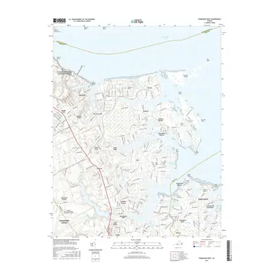 2016 Poquoson West2016 Print · USGSCoastal Virginia's peninsula life is captured here in the mid-2010s, showing a landscape defined by tidal creeks and growing residential communities. Genealogists and historians can trace family roots at Zion Cemetery, explore the bounds of Battle Park, or locate old homesites in Hornsbyville and Tabb.
 - 2016 Map of Newport News North, 2016 Print
 2016 Newport News North2016 Print · USGSThe Virginia Peninsula is shown in its modern suburban form during the 2010s, covering the dense interface of industry and neighborhood. Genealogists and local historians can trace family locations through numerous sites like New Bethel Baptist Church Cem, Aberdeen Gardens, and Hilton Village.
 - 2016 Map of Hampton, 2016 Print
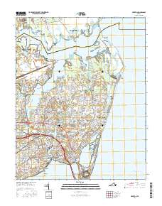 2016 Hampton2016 Print · USGSHampton and the surrounding coastal Virginia landscape are documented here in the mid-2010s. Genealogists and local historians can locate numerous historical burial sites like Saint John's Cem and landmarks such as Hampton Univ and Old Point Comfort.
 - 2016 Map of Poquoson East, 2016 Print
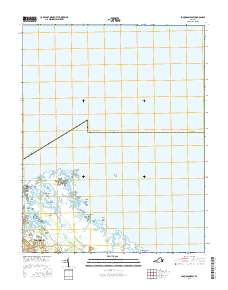 2016 Poquoson East2016 Print · USGSPoquoson and the surrounding coastal marshlands are captured here in the mid-2010s. Genealogists and local historians can trace residential lines along Forrest Rd or explore the geography of Big Salt Marsh and Blacksnake Island.
 - 2019 Map of Hampton, 2019 Print
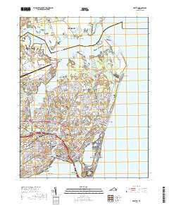 2019 Hampton2019 Print · USGSThe Virginia Peninsula comes alive in the late 2010s, showing a landscape shaped by coastal defense and maritime history. Researchers can trace ancestral connections at Hampton National Cemetery or explore the historic footprint of Fort Monroe and Langley Air Force Base.
 - 2019 Map of Poquoson West, 2019 Print
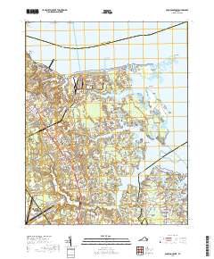 2019 Poquoson West2019 Print · USGSCoastal Virginia's intricate network of peninsulas and tidal creeks is documented here during the late twenty-teens. Trace the development of communities like Hornsbyville and Seaford Shores alongside historic landmarks such as Emmaus Ch and Hardwoods Mill.
 - 2019 Map of Newport News North, 2019 Print
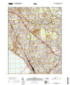 2019 Newport News North2019 Print · USGSThe Virginia Peninsula comes into focus during this 2010s survey, showing the dense development between the York and James rivers. Researchers can trace local heritage through numerous burial sites like Hebrew Cemetery or explore the footprints of Langley Air Force Base and Big Bethel.
 - 2019 Map of East of Poquoson East, 2019 Print
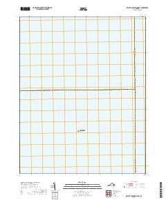 2019 East of Poquoson East2019 Print · USGSCoastal waters near Hampton and Poquoson are defined by maritime boundaries and shipping lanes in the late 2010s. Researchers can trace the path of the Intracoastal Waterway and the intersection of York Co and Northampton Co.
 - 2019 Map of Poquoson East, 2019 Print
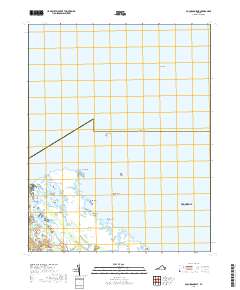 2019 Poquoson East2019 Print · USGSThe coastal marshlands of Poquoson are captured here in the late 2010s, showcasing the intricate balance of land and sea. Researchers can trace the waterfront geography of Big Salt Marsh and locate historical landmarks like Blackwalnut Ridge or Plumtree Point.
End of results
Showing maps 1-19 of 19
Top cities of Poquoson
Frequently asked questions
- What are the different types of historical maps available for Poquoson?
- What is the oldest map of Poquoson?
- Where can I purchase historical maps of Poquoson for my home or office?
- Where can I download high-res historical maps of Poquoson?
- Are there historical topographic maps available for Poquoson?
- Is there historical aerial imagery available for Poquoson?
- Where are historical maps of Poquoson sourced from?