2010s Maps of Rockbridge County, Virginia
Explore 76 historic maps of Rockbridge County from the 2010s. These maps offer a rare glimpse into what life looked like during the 2010s — showing old roads, neighborhoods, homes, and landmarks that have changed or disappeared over time.
Whether you're researching your family's past, planning a metal detecting trip, or studying how Rockbridge County's landscape evolved across the 2010s, these high-resolution maps are a powerful tool for exploring the history of this region.
- Focus on a specific era: All maps on this page are from the 2010s, giving you a focused view of this time period.
- See what’s changed: Compare century-old streets, trails, and buildings to today's modern landscape using overlays and satellite layers.
- Research with precision: Use these maps for genealogy, historical research, land use analysis, or educational projects.
- View, download, or print: Maps are fully viewable online in high resolution, and can be downloaded or printed for your own records.
Start exploring Rockbridge County's history through authentic maps from the 2010s. This is your window into the past.
Rockbridge County, VA maps
(76)- 2010 Map of Brownsburg, 2010 Print
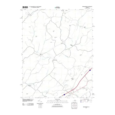 2010 Brownsburg2010 Print · USGSAugusta County at the start of the 2010s reveals a landscape of enduring rural settlements and historic mills. Researchers can trace family history through sites like New Providence Cemetery or explore the geography of Brownsburg, Wades Mill, and Bustleburg.
 - 2010 Map of Lexington, 2010 Print
 2010 Lexington2010 Print · USGSLexington and its surrounding hills are documented here in the early twenty-first century as the community grew around its academic and historical foundations. Researchers can trace family sites near Evergreen Cemetery, locate the historic Lawyers Row, or follow the Maury River past Horseshoe Bend.
 - 2011 Map of Augusta Springs, 2011 Print
 2011 Augusta Springs2011 Print · USGSAugusta County at the start of the 2010s reveals a landscape of mountain hollows and historic furnace sites. Researchers can trace rural settlement patterns near Augusta Springs and Estaline, locating features like Estaline Furnace and Mount Herman Cemetery.
 - 2011 Map of Craigsville, 2011 Print
 2011 Craigsville2011 Print · USGSAugusta County’s valley settlements and river networks are captured here in the early twenty-first century. Genealogists and hikers can trace the topography of Craigsville and Bells Valley, or locate family-named landmarks like Staples Hollow and Wilson Bridge.
 - 2011 Map of Green Valley, 2011 Print
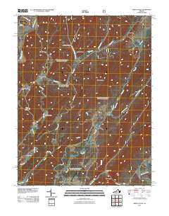 2011 Green Valley2011 Print · USGSVirginia's highland valleys and river systems are shown here in the early twenty-first century, before recent shifts in rural land use. Researchers can locate family landmarks and burial sites like the Green Valley Cemetery, McCowan Spring, and the community of Hotchkiss.
 - 2011 Map of Collierstown, 2011 Print
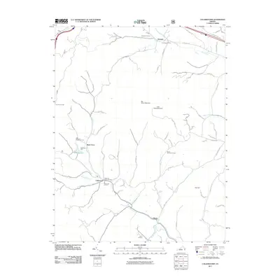 2011 Collierstown2011 Print · USGSRockbridge County at the start of the 2010s reveals a landscape of high ridges and deep-seated rural settlements. Researchers can trace local heritage through the Collierstown Cemetery and Oxford Cemetery or explore landmarks like Lake Robertson Recreational Area and Big House Mountain.
 - 2011 Map of Goshen, 2011 Print
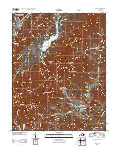 2011 Goshen2011 Print · USGSRockbridge County at the turn of the decade is shown in this detailed survey of the Maury River corridor. Researchers can trace historic river crossings at Goshen Land Company Bridge or locate Little River Cemetery and Wilson Springs.
 - 2011 Map of Arnold Valley, 2011 Print
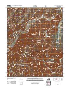 2011 Arnold Valley2011 Print · USGSBotetourt County at the dawn of the 2010s shows a landscape of mountain ridges and historic river settlements. Genealogists and historians can trace local roots through HighBridge Cemetery and Watson Cemetery or locate the industrial site of Glenwood Furnace.
 - 2011 Map of Millboro, 2011 Print
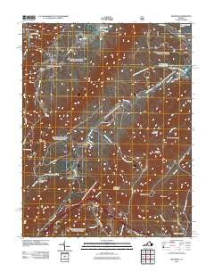 2011 Millboro2011 Print · USGSThe rail-and-springs heritage of the Virginia mountains is preserved here in the early twenty-first century. Researchers can trace family history through Bratton Cemetery and find old railway landmarks like the Millboro Tunnel and Lick Run Tunnel.
 - 2011 Map of Glasgow, 2011 Print
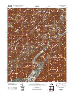 2011 Glasgow2011 Print · USGSThe confluence of the Maury and James rivers at Glasgow highlights this era of Virginia's Blue Ridge landscape. Researchers can locate numerous ancestral sites including the Salling Family Cemetery, Buffalo Forge, and Lone Jack Quarry.
 - 2011 Map of Snowden, 2011 Print
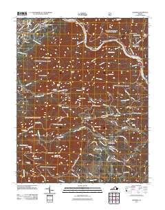 2011 Snowden2011 Print · USGSThe James River corridor and Blue Ridge foothills are captured here in the early twenty-first century. Researchers and hikers can trace remote landmarks like Sharon Cemetery, early hydroelectric sites at Cushaw Dam, and trail waypoints including Thunder Hill Trail Shelter.
 - 2011 Map of Sugarloaf Mountain, 2011 Print
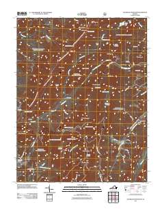 2011 Sugarloaf Mountain2011 Print · USGSRockbridge County's high ridges and early iron-working sites are documented here in the early twenty-first century. Genealogists and industrial historians can trace the locations of Jane Furnace, Rebecca Furnace, and family grounds like Pullen Cemetery.
 - 2011 Map of Longdale Furnace, 2011 Print
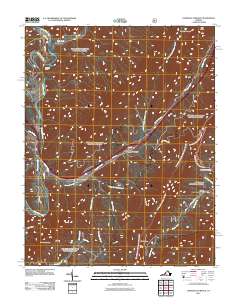 2011 Longdale Furnace2011 Print · USGSAlleghany County in the early twenty-first century is defined by the deep valleys of the Cowpasture River and the industrial heritage of the Blue Ridge. Trace local lineages and old access routes near Longdale Furnace, Union View Cemetery, and the Colemans Tunnel area.
 - 2011 Map of Montebello, 2011 Print
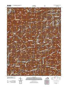 2011 Montebello2011 Print · USGSThe Virginia high country near Montebello is shown here in the early twenty-first century, spanning a landscape of steep ridges and mountain springs. Researchers can trace the heritage of the Blue Ridge through sites like the Irish Creek Mine, Grant Cemetery, and the Montebello State Fish Hatchery.
 - 2011 Map of Cornwall, 2011 Print
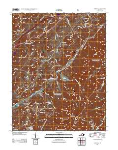 2011 Cornwall2011 Print · USGSModern Rockbridge County meets its deep roots in this early 21st-century survey of the Blue Ridge foothills. Genealogists can trace family landmarks and rural homesteads through McDowell Cemetery, Crossroads Store, and the scattered settlements of Marlbrook and Cornwall.
 - 2011 Map of Buena Vista, 2011 Print
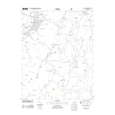 2011 Buena Vista2011 Print · USGSBuena Vista and the surrounding Blue Ridge peaks are documented here in the early twenty-first century. Genealogists and hikers can trace connections at Southern Virginia University or locate family sites like Green Hill Cemetery and Roberts Cemetery.
 - 2011 Map of Vesuvius, 2011 Print
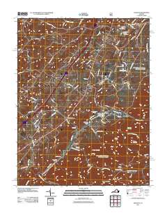 2011 Vesuvius2011 Print · USGSThe foothills of the Blue Ridge Mountains come alive in this contemporary survey of the Shenandoah Valley. Researchers can trace family sites at Stony Hill Cemetery or explore the rural hubs of Steeles Tavern and Vesuvius near the Tye River Gap.
 - 2011 Map of Nimrod Hall, 2011 Print
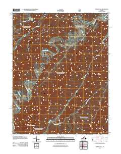 2011 Nimrod Hall2011 Print · USGSThe Cowpasture River valley in Bath County is captured here at the start of the 2010s. Researchers can trace rural settlement patterns near Nimrod Hall and Copeland, or locate landmarks like Hunt Club Dam and Mason Tunnel.
 - 2011 Map of Natural Bridge, 2011 Print
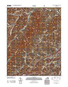 2011 Natural Bridge2011 Print · USGSIn the western foothills of Virginia during the early twenty-first century, this landscape shows the deep-rooted rural character of Rockbridge County. Researchers can locate family landmarks like Miller Cemetery, trace the course of Poague Run, and find historic crossroads at Red Mills and Saville Hill.
 - 2013 Map of Collierstown, 2013 Print
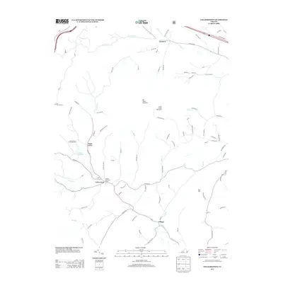 2013 Collierstown2013 Print · USGSRockbridge County's rural valleys and high peaks are shown here in the early twenty-first century, before recent land-use shifts. Researchers can trace local lineage through family-named landmarks like Higgins Holw and settlements such as Denmark or Maple Grove.
 - 2013 Map of Brownsburg, 2013 Print
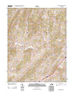 2013 Brownsburg2013 Print · USGSThe rural communities and waterways of Rockbridge and Augusta Counties are revealed in this modern survey. Researchers can trace historic local centers like Brownsburg, locate industrial landmarks such as Wades Mill, or follow the flow of Moffatts Cr.
 - 2013 Map of Vesuvius, 2013 Print
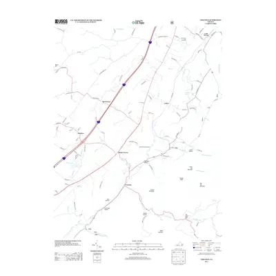 2013 Vesuvius2013 Print · USGSAugusta County settlements like Steeles Tavern and Vesuvius are shown here as the valley meets the mountain gaps in the early twenty-first century. Researchers can trace local landmarks from State Prison Camp Number 10 to family-named features like Donald Mountain and Fauver Mine Rd.
 - 2013 Map of Lexington, 2013 Print
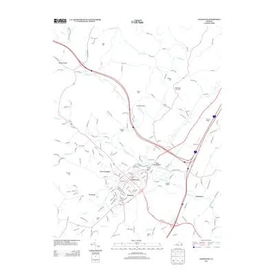 2013 Lexington2013 Print · USGSLexington and its surrounding neighborhoods are documented in this early twenty-first-century survey during a period of steady modern development. Genealogists and historians can trace the streets of Newtown, find the location of Lawyers Row, or locate the historic Limekiln Bridge.
 - 2013 Map of Glasgow, 2013 Print
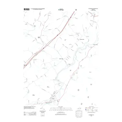 2013 Glasgow2013 Print · USGSThe confluence of the Maury River and James River at Glasgow anchors this 2013 survey of the Virginia water gap. Researchers can trace the local landscape from Sallings Mountain to Buffalo Forge, identifying landmarks like the B G Locher Bridge.
 - 2013 Map of Cornwall, 2013 Print
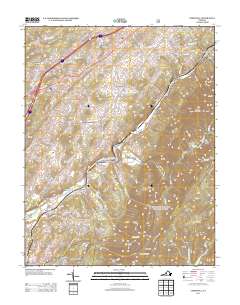 2013 Cornwall2013 Print · USGSThe valley of the S River and the slopes of the Blue Ridge come into focus in this recent study of Rockbridge County. Genealogists and hikers can trace old routes like the Borden Grant Trail and locate family-named sites such as Paxton Hill and Henry Hill.
Showing maps 1-25 of 76
Top cities of Rockbridge County
Frequently asked questions
- What are the different types of historical maps available for Rockbridge County?
- What is the oldest map of Rockbridge County?
- Where can I purchase historical maps of Rockbridge County for my home or office?
- Where can I download high-res historical maps of Rockbridge County?
- Are there historical topographic maps available for Rockbridge County?
- Is there historical aerial imagery available for Rockbridge County?
- Where are historical maps of Rockbridge County sourced from?