2000s (21st Century) Maps of Smyth County, Virginia
Explore 82 historic maps of Smyth County from the 2000s (21st Century). These maps offer a rare glimpse into what life looked like during the 2000s — showing old roads, neighborhoods, homes, and landmarks that have changed or disappeared over time.
Whether you're researching your family's past, planning a metal detecting trip, or studying how Smyth County's landscape evolved across the 2000s, these high-resolution maps are a powerful tool for exploring the history of this region.
- Focus on a specific era: All maps on this page are from the 2000s, giving you a focused view of this time period.
- See what’s changed: Compare century-old streets, trails, and buildings to today's modern landscape using overlays and satellite layers.
- Research with precision: Use these maps for genealogy, historical research, land use analysis, or educational projects.
- View, download, or print: Maps are fully viewable online in high resolution, and can be downloaded or printed for your own records.
Start exploring Smyth County's history through authentic maps from the 2000s. This is your window into the past.
Smyth County, VA maps
(82)- 2000 Map of Trout Dale, 2001 Print
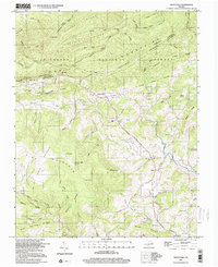 2000 Trout Dale2001 Print · USGSGrayson County's high ridges and mountain settlements are captured here as they appeared at the turn of the millennium. Researchers can locate numerous family burial sites like Blevins Cem and Fairwood Cem or trace the path of the Appalachian National Scenic Trail.
 - 2000 Map of Whitetop Mountain, 2001 Print
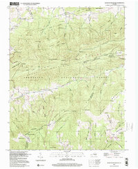 2000 Whitetop Mountain2001 Print · USGSHigh peaks and mountain gaps define the Virginia-Tennessee borderlands at the turn of the millennium. Researchers can trace the Appalachian Trail past Mt Rogers or locate rural landmarks like Rowland Creek Church and Stony Battery.
 - 2010 Map of Chilhowie, 2010 Print
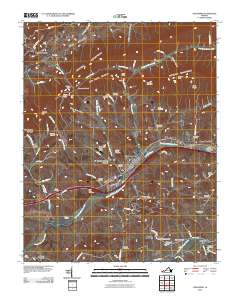 2010 Chilhowie2010 Print · USGSThe Holston River valley in Southwest Virginia comes alive on this map, showing the established communities of Chilhowie and Seven Mile Ford. Genealogists can trace family heritage through dozens of local burial grounds, such as McReady Cemetery and Greever Cemetery.
 - 2011 Map of Tazewell South, 2011 Print
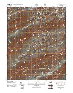 2011 Tazewell South2011 Print · USGSThe Clinch River valley and the southern edge of Tazewell appear here in the early twenty-first century. Researchers can trace rural landmarks and family-named locations such as Wittens Fort, Pucketts Store, and the small community of Asberrys.
 - 2011 Map of Hutchinson Rock, 2011 Print
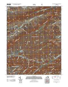 2011 Hutchinson Rock2011 Print · USGSTazewell County's high ridges and deep hollows are documented here during the early twenty-first century. Genealogists and hikers can trace remote family sites like Thompson Cemetery or navigate the terrain surrounding Hutchinson Rock and Joe Neets.
 - 2011 Map of Trout Dale, 2011 Print
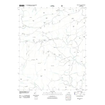 2011 Trout Dale2011 Print · USGSThe high-country ridges and valleys of Grayson County are captured here at the start of the 2010s. Researchers can trace family history through a remarkable number of rural burial grounds, including Blevins Cemetery, Woods Cemetery, and Trout Dale Cemetery.
 - 2011 Map of Rural Retreat, 2011 Print
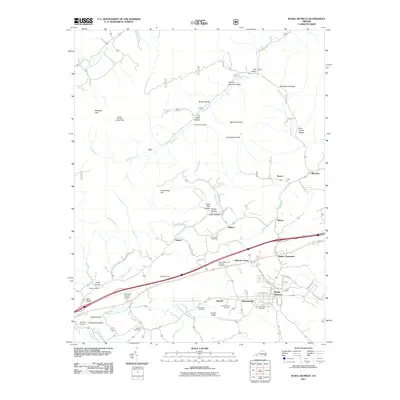 2011 Rural Retreat2011 Print · USGSThe Rural Retreat area of Wythe County appears here in the early twenty-first century, showing the intersection of ridge-top lookouts and valley settlements. Researchers can locate family landmarks like Ann Grubb Hollow or trace local history at Staley Crossroads and Davis Cemetery.
 - 2011 Map of Konnarock, 2011 Print
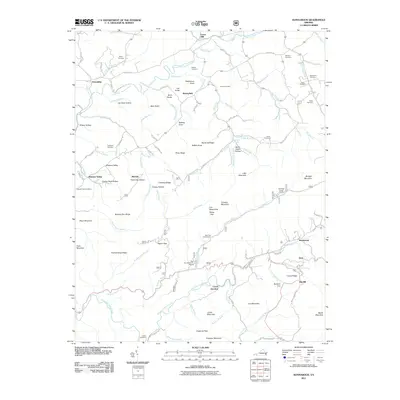 2011 Konnarock2011 Print · USGSVirginia's high country in the early twenty-first century reveals a landscape of isolated mountain settlements and family lineages. Genealogists and historians can trace old homesteads and local landmarks from Loves Mill to the many burial sites like Ketchum Cemetery and Hash Cemetery.
 - 2011 Map of Nebo, 2011 Print
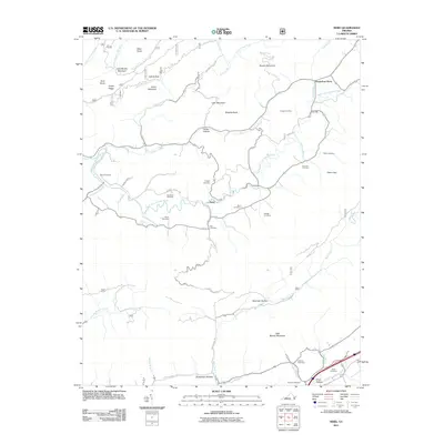 2011 Nebo2011 Print · USGSSmyth County, Virginia, is shown in this contemporary topographical study as a landscape of historic family farms and mountain ridges. Genealogists can trace localized history through numerous family sites like Tilson Cemetery, Groseclose Store, and Tilson Mill.
 - 2011 Map of Chatham Hill, 2011 Print
 2011 Chatham Hill2011 Print · USGSSmyth County's ridges and valleys are captured here in the early twenty-first century as the North Fork Holston River winds past small communities. Genealogists can locate numerous burial sites such as Chatham Hill Cemetery and Thompson Cemetery or trace old routes like Roberts Hollow Rd.
 - 2011 Map of Saltville, 2011 Print
 2011 Saltville2011 Print · USGSSaltville and the Holston River valley are captured in this modern survey of Southwest Virginia’s mountain landscape. Genealogists can trace family landmarks and burial sites like Allison Cemetery, Lick Skillet, and the historic crossroads of Belfast Mills.
 - 2011 Map of Marion, 2011 Print
 2011 Marion2011 Print · USGSThe community of Marion and the surrounding Holston River valleys are captured here in the early twenty-first century. Researchers can trace local lineage through numerous burial grounds like Round Hill Cemetery and locate sites like Holston Mill and the Buller Bass Hatchery.
 - 2011 Map of Glade Spring, 2011 Print
 2011 Glade Spring2011 Print · USGSSouthwest Virginia's ridge-and-valley landscape is documented here in the early twenty-first century, centered on the historic campus of Emory and Henry College. Genealogists and historians can locate numerous family burial grounds like Snodgrass Cemetery and Broadly Cemetery near the old corridors of Old Stage Rd.
 - 2011 Map of Atkins, 2011 Print
 2011 Atkins2011 Print · USGSSmyth County's river valleys and mountain ridges are captured here in the early twenty-first century, showing the enduring rural layout of southwest Virginia. Researchers can trace family sites at Roberts Mill, Furnace Hill, and numerous burial grounds like Wassum Cemetery.
 - 2011 Map of Whitetop Mountain, 2011 Print
 2011 Whitetop Mountain2011 Print · USGSThe high ridges of Southwest Virginia appear here in the early twenty-first century, centered on the state's highest peaks. Researchers can locate family sites like Rowland Creek Cemetery and West Cemetery or trace the drainage of Big Laurel Creek.
 - 2011 Map of Broadford, 2011 Print
 2011 Broadford2011 Print · USGSSmyth County's river-carved valleys and mountain gaps are mapped here in the early twenty-first century. Genealogists can locate over twenty burial sites including Keister Cemetery and Parker Cemetery while tracing landmarks like Old Broad Ford.
 - 2011 Map of Middle Fox Creek, 2011 Print
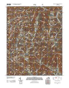 2011 Middle Fox Creek2011 Print · USGSGrayson County's high ridges and creek hollows are captured here at the start of the 2010s. Researchers can trace family history through numerous burial grounds like Pine Branch Cemetery and Phipps Cemetery near Middle Fox Creek.
 - 2011 Map of Cedar Springs, 2011 Print
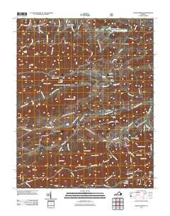 2011 Cedar Springs2011 Print · USGSThe Wythe County highlands near Cedar Springs and Fairview are shown here as they appeared in the early twenty-first century. Researchers can trace family history at the Keesling Cemetery or locate landmarks like the Glade Mountain Shelter and Rural Retreat Lake.
 - 2013 Map of Tazewell South, 2013 Print
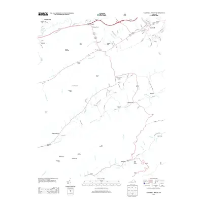 2013 Tazewell South2013 Print · USGSTazewell and its surrounding valleys are captured here in the early twenty-first century as the region maintains its rural character. Genealogists and historians can trace family locations near Wittens Fort, Pucketts Store, and the scattered homesites of Thompson Valley.
 - 2013 Map of Hutchinson Rock, 2013 Print
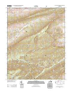 2013 Hutchinson Rock2013 Print · USGSThe high ridges of Tazewell County come into sharp focus in this modern era survey of the Appalachian Highlands. Researchers can trace the remote settlements of Joe Neets and Poor Valley while locating landmarks like Hutchinson Rock and the Knot Mole Shelter.
 - 2013 Map of Middle Fox Creek, 2013 Print
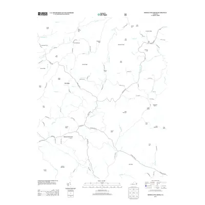 2013 Middle Fox Creek2013 Print · USGSGrayson County's high ridges and creek valleys are documented here in the early twenty-first century. Genealogists and local historians can trace family land near Barton Crossroad or follow the winding courses of Middle Fox Cr and Middle Br Elk Cr.
 - 2013 Map of Broadford, 2013 Print
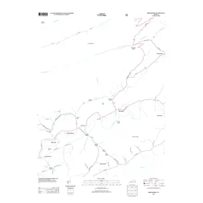 2013 Broadford2013 Print · USGSIn the early twenty-first century, this corner of Southwest Virginia maintains its traditional footprint along the N Fork Holston River. Researchers can trace family homesteads and rural landmarks from Osborns Store to the small community of Tannersville.
 - 2013 Map of Konnarock, 2013 Print
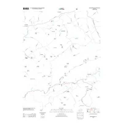 2013 Konnarock2013 Print · USGSThe high-elevation communities of Washington County are caught in detail as they appeared in the early 2010s. Local historians can trace family-named hollows and sites like Konnarock, Creek Junction, and the Summit Cut near Big Hill.
 - 2013 Map of Rural Retreat, 2013 Print
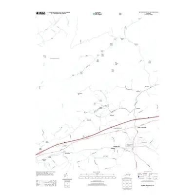 2013 Rural Retreat2013 Print · USGSRural Retreat and its surrounding Wythe County hamlets are captured here in the early twenty-first century. Researchers can trace family-named landmarks from Ann Grubb Hollow to Tickle Pink Hollow, alongside established communities like Groseclose and Murpheyville.
 - 2013 Map of Saltville, 2013 Print
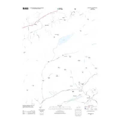 2013 Saltville2013 Print · USGSSaltville and the North Fork Holston River valley are shown here in the early twenty-first century, featuring a landscape of steep ridges and creek-side settlements. Genealogists and local historians can trace family locations in Cardwell Town, Allison Gap, and the rural enclave of Belfast Mills.
Showing maps 1-25 of 82
Top cities of Smyth County
Frequently asked questions
- What are the different types of historical maps available for Smyth County?
- What is the oldest map of Smyth County?
- Where can I purchase historical maps of Smyth County for my home or office?
- Where can I download high-res historical maps of Smyth County?
- Are there historical topographic maps available for Smyth County?
- Is there historical aerial imagery available for Smyth County?
- Where are historical maps of Smyth County sourced from?