2020s Maps of Smyth County, Virginia
Explore 16 historic maps of Smyth County from the 2020s. These maps offer a rare glimpse into what life looked like during the 2020s — showing old roads, neighborhoods, homes, and landmarks that have changed or disappeared over time.
Whether you're researching your family's past, planning a metal detecting trip, or studying how Smyth County's landscape evolved across the 2020s, these high-resolution maps are a powerful tool for exploring the history of this region.
- Focus on a specific era: All maps on this page are from the 2020s, giving you a focused view of this time period.
- See what’s changed: Compare century-old streets, trails, and buildings to today's modern landscape using overlays and satellite layers.
- Research with precision: Use these maps for genealogy, historical research, land use analysis, or educational projects.
- View, download, or print: Maps are fully viewable online in high resolution, and can be downloaded or printed for your own records.
Start exploring Smyth County's history through authentic maps from the 2020s. This is your window into the past.
Smyth County, VA maps
(16)- 2022 Map of Tazewell South, 2022 Print
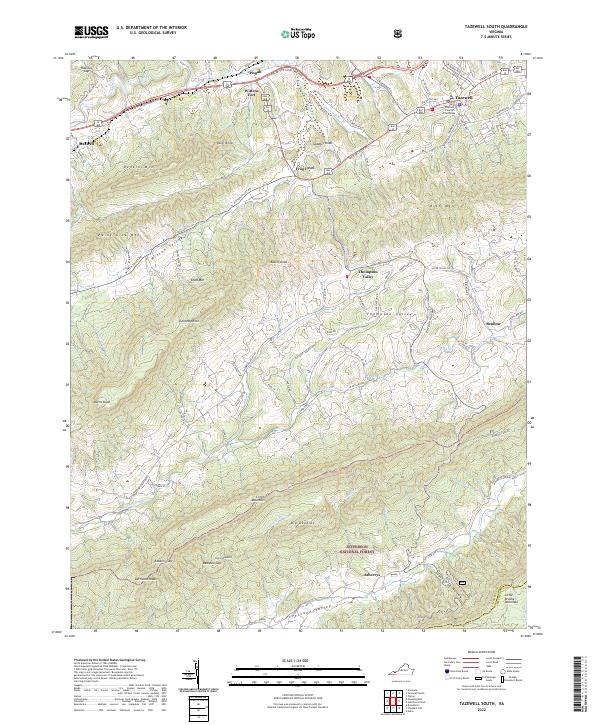 2022 Tazewell South2022 Print · USGSTazewell and its surrounding mountain valleys are captured here in the early twenty-first century, showcasing the region's historic settlements and deep topography. Trace the local landmarks of Tazewell County, from the Tazewell County Courthouse and Wittens Fort to the rural Pleasant Hill Church.
 - 2022 Map of Hutchinson Rock, 2022 Print
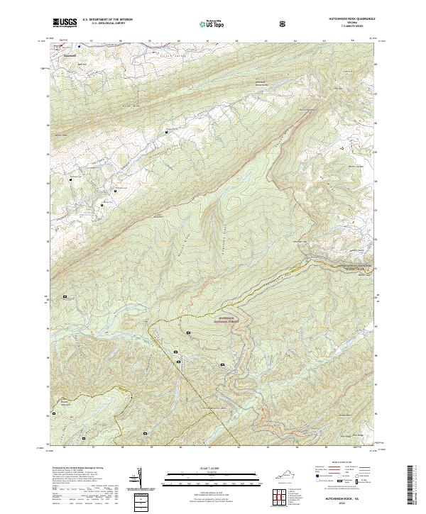 2022 Hutchinson Rock2022 Print · USGSThe high ridges of Tazewell and Bland Counties appear here during a time of conservation and outdoor recreation in Southwest Virginia. Researchers can locate family landmarks like Thompson Cem or trace the Appalachian National Scenic Trail as it crosses Garden Mountain.
 - 2022 Map of Middle Fox Creek, 2022 Print
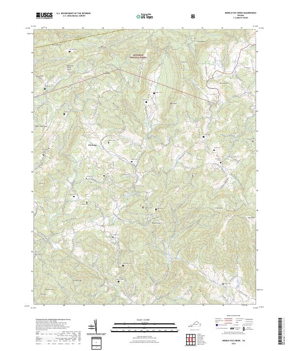 2022 Middle Fox Creek2022 Print · USGSGrayson County highland communities are documented here as they appeared in the early 2020s. Genealogists can trace family burial sites like Old Parks Cem and Cornett Cem near Flat Ridge.
 - 2022 Map of Trout Dale, 2022 Print
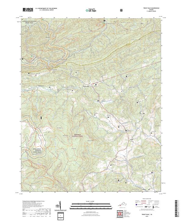 2022 Trout Dale2022 Print · USGSGrayson County's high ridges and mountain gaps are captured here in the early twenty-first century. Genealogists can trace family names at Trout Dale Cem, Campbell Cem, and Ross Cem while hikers follow the Appalachian National Scenic Trail.
 - 2022 Map of Konnarock, 2022 Print
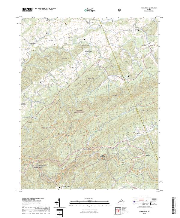 2022 Konnarock2022 Print · USGSHighland ridges and deep coves define this section of Southwest Virginia, where the historic Virginia Creeper Trl follows the creek beds. Researchers can trace the layout of mountain settlements like Konnarock and Taylors Valley or locate family burial sites such as Hash Cem and James Cem.
 - 2022 Map of Rural Retreat, 2022 Print
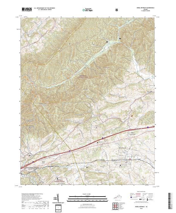 2022 Rural Retreat2022 Print · USGSRural Retreat and the Wythe County highlands are shown here in the early twenty-first century, centered on the strategic rail and road pass through the mountains. Researchers can trace family history at Sunset Memorial Gardens Cem or locate the rural hubs of Groseclose and Staley Crossroads along the Norfolk Southern tracks.
 - 2022 Map of Atkins, 2022 Print
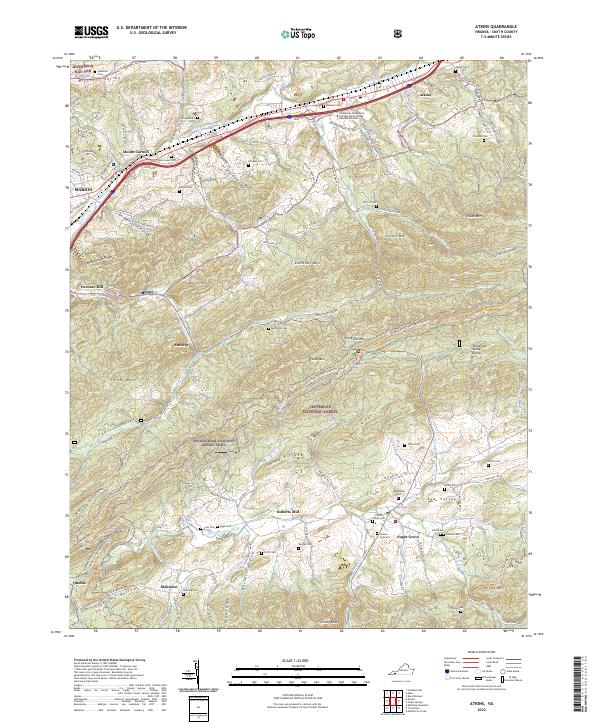 2022 Atkins2022 Print · USGSSmyth County, Virginia, is shown here as a landscape of highland ridges and river valleys in the early twenty-first century. Genealogists and hikers can trace the Appalachian National Scenic Trl as it passes historic sites like Roberts Mill and family burial grounds including Atkins Cem and Rose Lawn Cem.
 - 2022 Map of Marion, 2022 Print
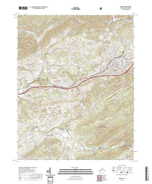 2022 Marion2022 Print · USGSSmyth County's valley settlements and mountain ridges are documented here in the early twenty-first century. Researchers can trace family history through numerous rural burial grounds like Ebenezer Cem or explore the mountain terrain near Quebec and Adwolf.
 - 2022 Map of Cedar Springs, 2022 Print
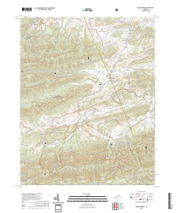 2022 Cedar Springs2022 Print · USGSSmyth and Wythe counties meet here in the 2020s, showing a landscape defined by mountain ridges and the Appalachian Trail. Researchers can find family burial sites like Keesling Cemetery and landmarks such as Rural Retreat Lake.
 - 2022 Map of Broadford, 2022 Print
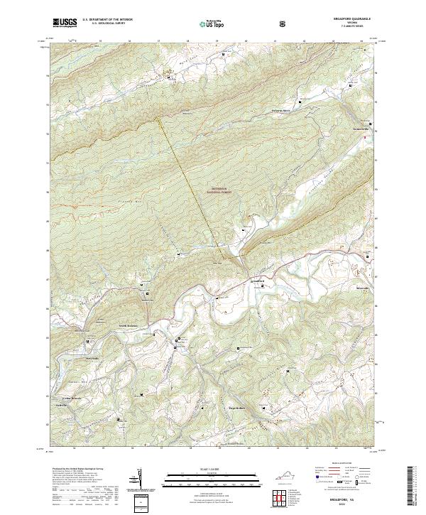 2022 Broadford2022 Print · USGSSmyth and Tazewell Counties are defined by the steep ridges and narrow hollows of the Appalachian high country. Genealogists can trace family roots through numerous remote burial grounds like Fullen Cem and small communities such as Broadford and Tannersville.
 - 2022 Map of Glade Spring, 2022 Print
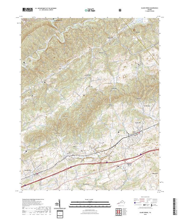 2022 Glade Spring2022 Print · USGSThe highlands of Washington County are captured here in the early twenty-first century, centered on the historic campus of Emory and Henry College. Genealogists can trace family roots through numerous burial sites like Old Glade Spring Cem and Blackwell Cem.
 - 2022 Map of Saltville, 2022 Print
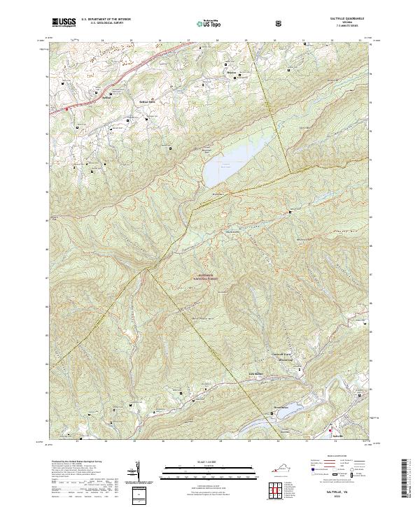 2022 Saltville2022 Print · USGSThe Clinch Mountain ridges and Holston River valley are shown in great detail during the early 2020s. Genealogists can trace dozens of family cemeteries and small valley hamlets like Lick Skillet, Henrytown, and Belfast Mills.
 - 2022 Map of Chatham Hill, 2022 Print
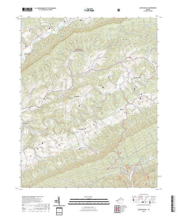 2022 Chatham Hill2022 Print · USGSSmyth County's rural valleys and high ridges appear in detail during the early 2020s. Genealogists can locate numerous family burial sites such as Necessary Cem and Hubble Cem scattered near Chatham Hill and Ellendale.
 - 2022 Map of Whitetop Mountain, 2022 Print
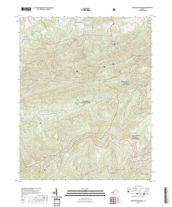 2022 Whitetop Mountain2022 Print · USGSThe Virginia Highlands are captured here in the early twenty-first century, featuring the high-elevation terrain of the Jefferson National Forest. Researchers can trace the Appalachian National Scenic Trl past landmarks like Mt Rogers and find historic family sites including Rowland Creek Cem.
 - 2022 Map of Nebo, 2022 Print
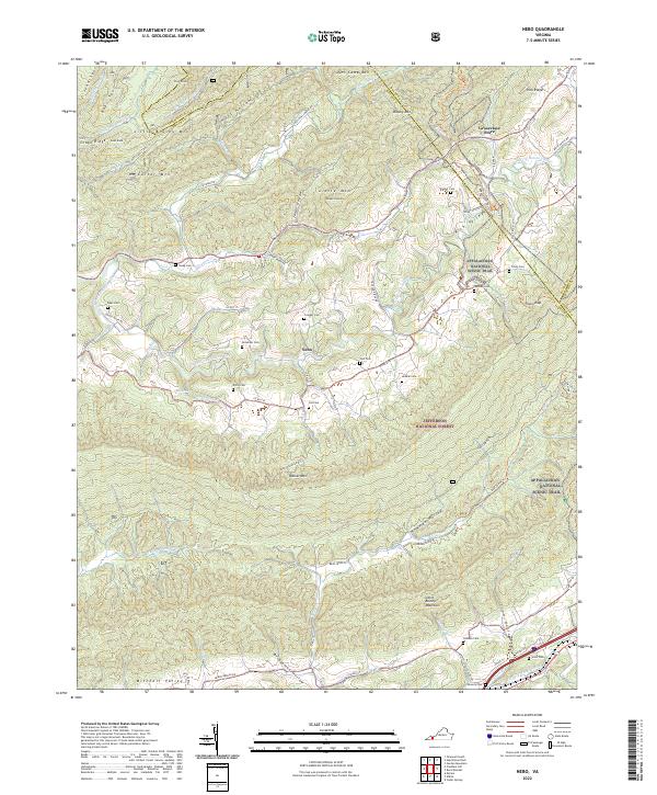 2022 Nebo2022 Print · USGSSmyth County's valley corridors are captured here in the 2020s, showing the rural community of Nebo and the high ridges of the Jefferson National Forest. Researchers can locate dozens of family burial sites like Tilson Cem and Snavely Cem along the Appalachian National Scenic Trl.
 - 2023 Map of Chilhowie, 2023 Print
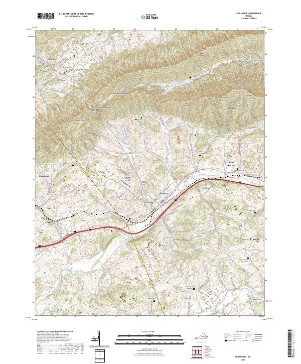 2023 Chilhowie2023 Print · USGSSmyth County's river valleys and mountain ridges are documented here in the early twenty-first century as the rail and highway corridor remains central to the region. Family historians can trace numerous sites including Kelly Chapel Cem, Seven Mile Ford, and the White Oak Stand Airport.
End of results
Showing maps 1-16 of 16
Top cities of Smyth County
Frequently asked questions
- What are the different types of historical maps available for Smyth County?
- What is the oldest map of Smyth County?
- Where can I purchase historical maps of Smyth County for my home or office?
- Where can I download high-res historical maps of Smyth County?
- Are there historical topographic maps available for Smyth County?
- Is there historical aerial imagery available for Smyth County?
- Where are historical maps of Smyth County sourced from?