2020s Maps of Tazewell County, Virginia
Explore 21 historic maps of Tazewell County from the 2020s. These maps offer a rare glimpse into what life looked like during the 2020s — showing old roads, neighborhoods, homes, and landmarks that have changed or disappeared over time.
Whether you're researching your family's past, planning a metal detecting trip, or studying how Tazewell County's landscape evolved across the 2020s, these high-resolution maps are a powerful tool for exploring the history of this region.
- Focus on a specific era: All maps on this page are from the 2020s, giving you a focused view of this time period.
- See what’s changed: Compare century-old streets, trails, and buildings to today's modern landscape using overlays and satellite layers.
- Research with precision: Use these maps for genealogy, historical research, land use analysis, or educational projects.
- View, download, or print: Maps are fully viewable online in high resolution, and can be downloaded or printed for your own records.
Start exploring Tazewell County's history through authentic maps from the 2020s. This is your window into the past.
Tazewell County, VA maps
(21)- 2022 Map of Keen Mountain, 2022 Print
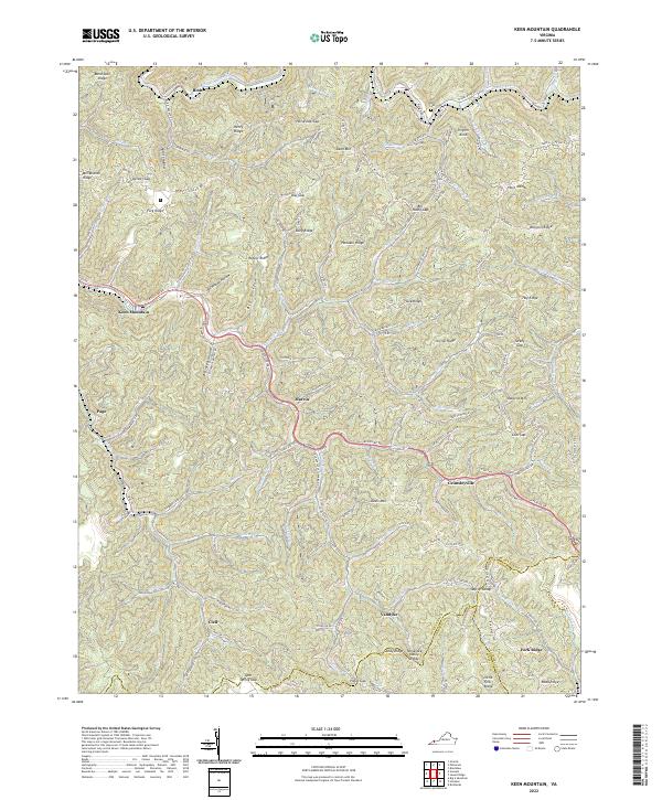 2022 Keen Mountain2022 Print · USGSBuchanan County's mountain corridors are captured in this modern survey as the coal-country landscape continues to evolve. Genealogists and local historians can trace the family-named landmarks and valley settlements of Grimsleyville, Marvin, and Pilgrim Knob.
 - 2022 Map of Honaker, 2022 Print
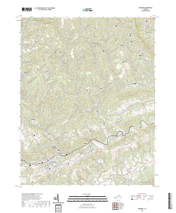 2022 Honaker2022 Print · USGSThe Honaker area and the borderlands of Russell and Buchanan counties are shown here in detail during the early 2020s. Genealogists can locate dozens of family burial sites like Horton Family Cem and Tunnel Hill Cem among the ridges of Wysor Valley.
 - 2022 Map of Bastian, 2022 Print
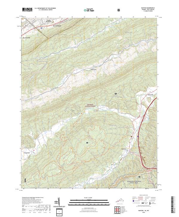 2022 Bastian2022 Print · USGSBland and Tazewell counties in the early 2020s are defined by the intersection of mountain ridges and small valley settlements. Researchers can trace the path of the Appalachian National Scenic Trail and locate local landmarks like Bluefield University and Rose Hill Cem.
 - 2022 Map of Jewell Ridge, 2022 Print
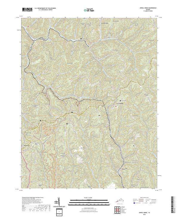 2022 Jewell Ridge2022 Print · USGSJewell Ridge and the Buchanan-Tazewell county line are shown here in the early 2020s, featuring the dense hollows of the Appalachian high country. Researchers can trace family landmarks at the Company Cem, Smith Cem, and the old settlement at Jewell Valley.
 - 2022 Map of Tazewell South, 2022 Print
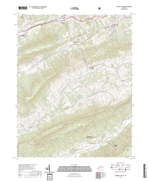 2022 Tazewell South2022 Print · USGSTazewell and its surrounding mountain valleys are captured here in the early twenty-first century, showcasing the region's historic settlements and deep topography. Trace the local landmarks of Tazewell County, from the Tazewell County Courthouse and Wittens Fort to the rural Pleasant Hill Church.
 - 2022 Map of Richlands, 2022 Print
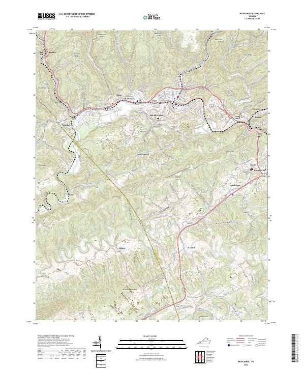 2022 Richlands2022 Print · USGSThe Clinch River valley in the early 2020s shows a dense network of mountain settlements and transit corridors. Researchers can trace family sites at Clinch Valley Memorial Cem or locate Southwest Virginia Community College.
 - 2022 Map of Cove Creek, 2022 Print
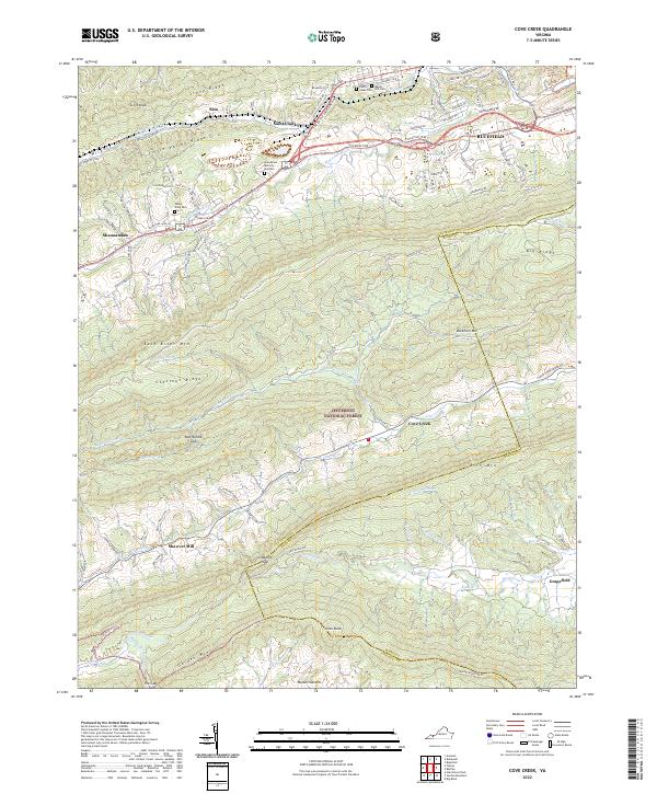 2022 Cove Creek2022 Print · USGSThe high ridges and deep valleys of the Virginia mountains are captured here in the early twenty-first century. Researchers can trace historic travel routes like the Fincastle Tpke or locate family sites at Shawver Mill and Maple Hill Cem.
 - 2022 Map of Tiptop, 2022 Print
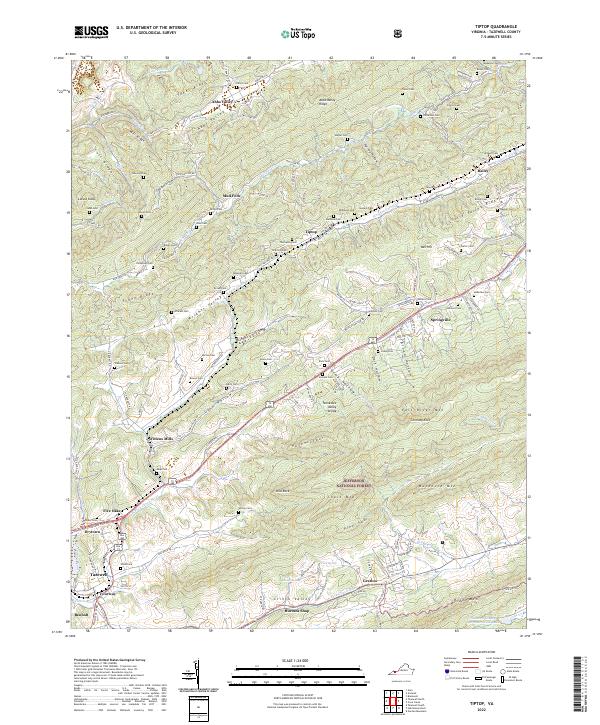 2022 Tiptop2022 Print · USGSThe Clinch Valley of Tazewell County is captured here in the early 2020s, showing the enduring rail and river corridors that shaped the region. Genealogists can locate dozens of family burial sites like Sinkford Cem and Yates Cem near historic stops at Wittens Mills and Tiptop.
 - 2022 Map of Amonate, 2022 Print
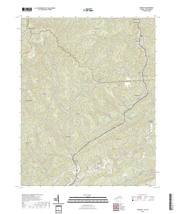 2022 Amonate2022 Print · USGSThe coalfield communities of Tazewell County and West Virginia come alive in this detailed recent survey. Genealogists and local historians can trace family locations near Amonate, Bandy, and the Berwind Cem along the headwaters of Indian Cr.
 - 2022 Map of Hutchinson Rock, 2022 Print
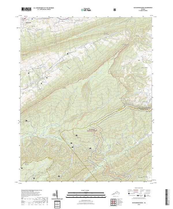 2022 Hutchinson Rock2022 Print · USGSThe high ridges of Tazewell and Bland Counties appear here during a time of conservation and outdoor recreation in Southwest Virginia. Researchers can locate family landmarks like Thompson Cem or trace the Appalachian National Scenic Trail as it crosses Garden Mountain.
 - 2022 Map of Pounding Mill, 2022 Print
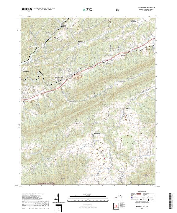 2022 Pounding Mill2022 Print · USGSTazewell County's Appalachian ridges and river valleys are shown in detail as they appeared in 2022. Local researchers can trace the historic Trl of the Lonesome Pine through Pounding Mill and Cliffield or explore the rugged southern slopes of Clinch Mountain.
 - 2022 Map of Garden Mountain, 2022 Print
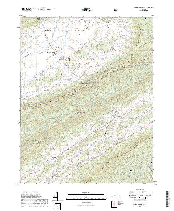 2022 Garden Mountain2022 Print · USGSBland County's high mountain valleys and the unique geologic bowl of Burkes Garden are preserved in this modern topographic study. Researchers can trace historic family burial grounds like Red Oak Cem and Hounshell Cem alongside the path of the Appalachian National Scenic Trl.
 - 2022 Map of Broadford, 2022 Print
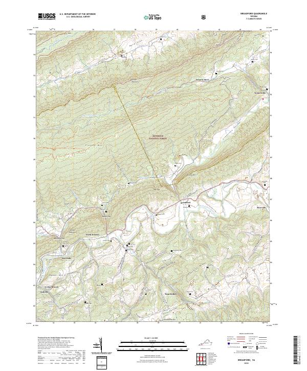 2022 Broadford2022 Print · USGSSmyth and Tazewell Counties are defined by the steep ridges and narrow hollows of the Appalachian high country. Genealogists can trace family roots through numerous remote burial grounds like Fullen Cem and small communities such as Broadford and Tannersville.
 - 2022 Map of Saltville, 2022 Print
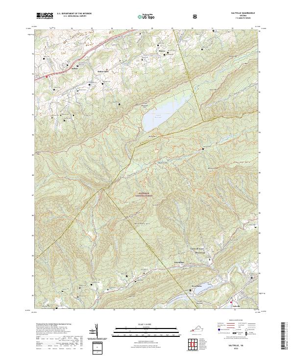 2022 Saltville2022 Print · USGSThe Clinch Mountain ridges and Holston River valley are shown in great detail during the early 2020s. Genealogists can trace dozens of family cemeteries and small valley hamlets like Lick Skillet, Henrytown, and Belfast Mills.
 - 2022 Map of Chatham Hill, 2022 Print
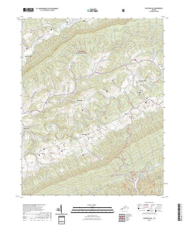 2022 Chatham Hill2022 Print · USGSSmyth County's rural valleys and high ridges appear in detail during the early 2020s. Genealogists can locate numerous family burial sites such as Necessary Cem and Hubble Cem scattered near Chatham Hill and Ellendale.
 - 2022 Map of Nebo, 2022 Print
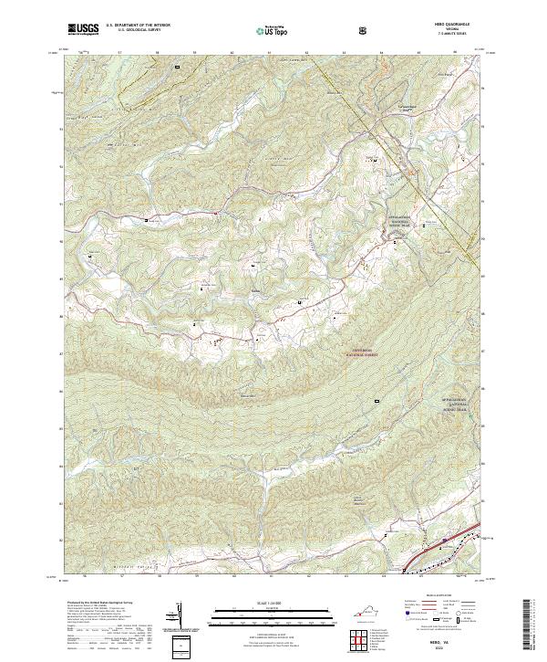 2022 Nebo2022 Print · USGSSmyth County's valley corridors are captured here in the 2020s, showing the rural community of Nebo and the high ridges of the Jefferson National Forest. Researchers can locate dozens of family burial sites like Tilson Cem and Snavely Cem along the Appalachian National Scenic Trl.
 - 2023 Map of Anawalt, 2023 Print
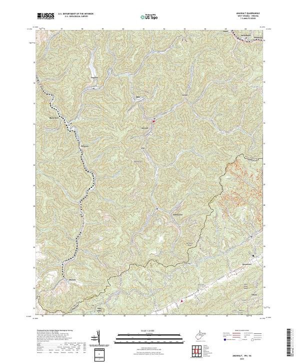 2023 Anawalt2023 Print · USGSWest Virginia's coal country and the Virginia borderlands are revealed in this modern survey of the Tug Fork headwaters. Researchers can trace the legacy of mining settlements and family burial grounds like Jenkinjones, Anawalt, and the Asbury Cem near Boissevain.
 - 2023 Map of Bluefield, 2023 Print
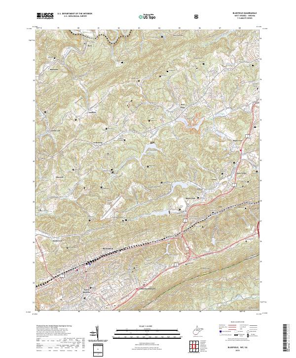 2023 Bluefield2023 Print · USGSBluefield and the surrounding ridgelines of the West Virginia-Virginia border are captured here in the early twenty-first century. Genealogists and historians can trace numerous family burial grounds like Neal Cem and Tuggle Cem or locate the historic campus of Bluefield State College.
 - 2023 Map of Gary, 2023 Print
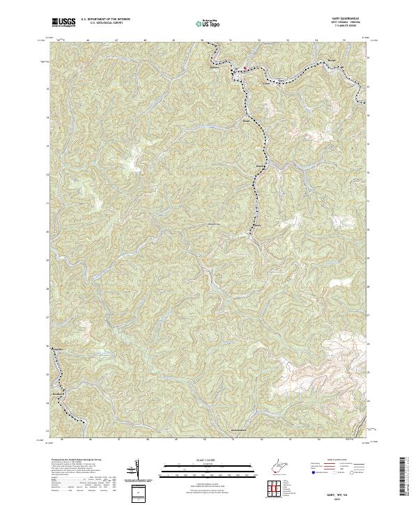 2023 Gary2023 Print · USGSSouthern West Virginia's coal-heritage corridor is shown here as it appears today, mapping the communities from Gary to Thorpe. Genealogists and researchers can trace local family landmarks through settlements like Filbert, Elbert, and Brewsterdale.
 - 2023 Map of Bramwell, 2023 Print
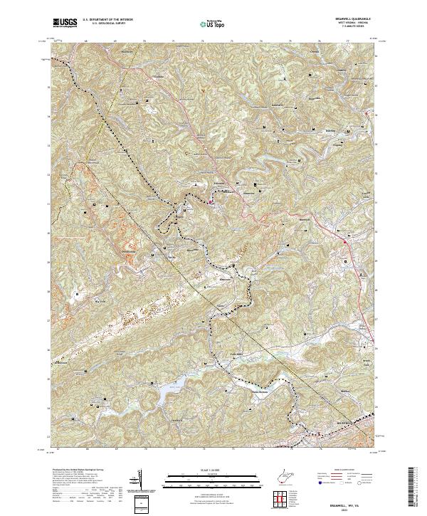 2023 Bramwell2023 Print · USGSThe coal country of the West Virginia and Virginia border comes into sharp focus in this detailed modern survey. Genealogists and local historians can trace family burial sites and old mining communities from Bramwell and Pocahontas to the Bryant Memorial Cem and Pinnacle Rock.
 - 2023 Map of Tazewell North, 2023 Print
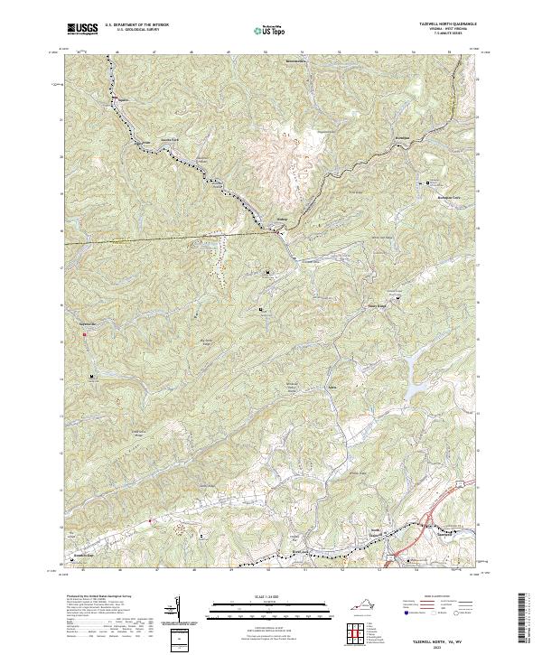 2023 Tazewell North2023 Print · USGSThe borderlands of Virginia and West Virginia are detailed here, centered on the historic communities of Tazewell and North Tazewell. Genealogists can trace family names through the Pruett Family Cem, Yost Family Cem, and the settlement at Sayersville.
End of results
Showing maps 1-21 of 21
Top cities of Tazewell County
- Richlands historical maps
- Bluefield historical maps
- Tazewell historical maps
- Raven historical maps
- Claypool Hill historical maps
- Cedar Bluff historical maps
See more
Frequently asked questions
- What are the different types of historical maps available for Tazewell County?
- What is the oldest map of Tazewell County?
- Where can I purchase historical maps of Tazewell County for my home or office?
- Where can I download high-res historical maps of Tazewell County?
- Are there historical topographic maps available for Tazewell County?
- Is there historical aerial imagery available for Tazewell County?
- Where are historical maps of Tazewell County sourced from?