2000s (21st Century) Maps of Westmoreland County, Virginia
Explore 75 historic maps of Westmoreland County from the 2000s (21st Century). These maps offer a rare glimpse into what life looked like during the 2000s — showing old roads, neighborhoods, homes, and landmarks that have changed or disappeared over time.
Whether you're researching your family's past, planning a metal detecting trip, or studying how Westmoreland County's landscape evolved across the 2000s, these high-resolution maps are a powerful tool for exploring the history of this region.
- Focus on a specific era: All maps on this page are from the 2000s, giving you a focused view of this time period.
- See what’s changed: Compare century-old streets, trails, and buildings to today's modern landscape using overlays and satellite layers.
- Research with precision: Use these maps for genealogy, historical research, land use analysis, or educational projects.
- View, download, or print: Maps are fully viewable online in high resolution, and can be downloaded or printed for your own records.
Start exploring Westmoreland County's history through authentic maps from the 2000s. This is your window into the past.
Westmoreland County, VA maps
(75)- 2010 Map of Loretto, 2010 Print
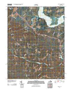 2010 Loretto2010 Print · USGSCoastal Essex County and the banks of the Rappahannock River are captured here in the early twenty-first century. Researchers can trace land use around historic river landings and rural crossroads like Hustle, Vauters Churchyard, and Saunders Wharf.
 - 2010 Map of Machodoc, 2010 Print
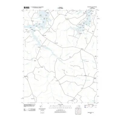 2010 Machodoc2010 Print · USGSThe Northern Neck of Virginia in 2010 shows a landscape shaped by tidal creeks and longstanding family farms. Researchers can trace land tracts and community roots near Hague, Mount Holly, and McGuires Wharf, or locate family sites like Antioch Farm.
 - 2010 Map of Champlain, 2010 Print
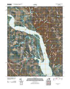 2010 Champlain2010 Print · USGSCoastal Virginia’s riverfront life is preserved here in the early twenty-first century, showing a landscape defined by tidal marshes and historic landings. Genealogists can locate family names and sites at Rappahannock Cemetery, Malvale Farm, and Leedstown.
 - 2011 Map of Stratford Hall, 2011 Print
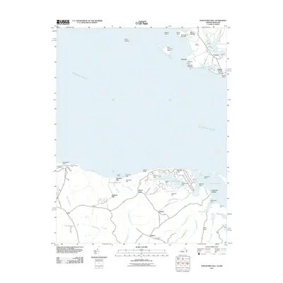 2011 Stratford Hall2011 Print · USGSThe Potomac River shoreline in Westmoreland County comes into focus in this modern survey of coastal Virginia. Genealogists and historians can trace family-named sites like Stratford Hall, Bettys Neck, and Shiloh Cemetery alongside historic river landings.
 - 2011 Map of Colonial Beach South, 2011 Print
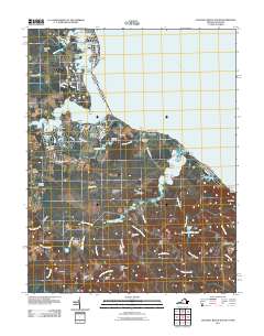 2011 Colonial Beach South2011 Print · USGSCoastal Westmoreland County is captured here in the early twenty-first century, showing the intersection of tidal creeks and colonial-era land divisions. Genealogists and local historians can trace family locations near Monroe Hall, Oak Grove, and the Washington Cemetery.
 - 2011 Map of Kinsale, 2011 Print
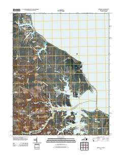 2011 Kinsale2011 Print · USGSThe Northern Neck of Virginia is shown in the early twenty-first century as a landscape of interconnected tidal creeks and historic landings. Researchers can trace family roots at Carmel Cemetery or locate old maritime hubs like Kinsale and Hudsons Landing.
 - 2011 Map of Colonial Beach North, 2011 Print
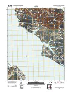 2011 Colonial Beach North2011 Print · USGSThe Potomac River waterfront in the early twenty-first century reveals a landscape shaped by both coastal recreation and deep-rooted rural history. Trace family roots and local landmarks through sites like Old Christ Church Cemetery, the Laidlow Ferry site, and the historic Mount Victoria area.
 - 2011 Map of Piney Point, 2011 Print
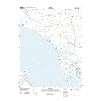 2011 Piney Point2011 Print · USGSThe Potomac River shoreline and its historic landings are meticulously detailed in this early twenty-first-century survey of Saint Marys County. Researchers can locate family landmarks and community centers like the Piney Point Lighthouse, Mulberry Fields, and the Saint Georges Cemetery.
 - 2011 Map of Dahlgren, 2011 Print
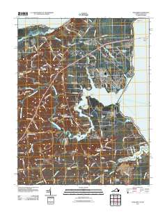 2011 Dahlgren2011 Print · USGSDahlgren and the Potomac River shoreline appear here in the early twenty-first century as a mix of naval history and old river landings. Genealogists can trace family roots through numerous burial grounds like Little Ark Cemetery or Union Bethel Cemetery, while watermen can locate Frank Landing and Berrys Wharf.
 - 2011 Map of Saint Clements Island, 2011 Print
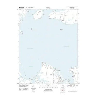 2011 Saint Clements Island2011 Print · USGSThe Potomac River tidewater comes alive in the early twenty-first century, showing the established waterfront communities of Maryland and Virginia. Local historians can trace the development of Coles Point, find the Stone Cross on Saint Clements Island, or locate small airfields like Nuns Oak Airport.
 - 2011 Map of Lottsburg, 2011 Print
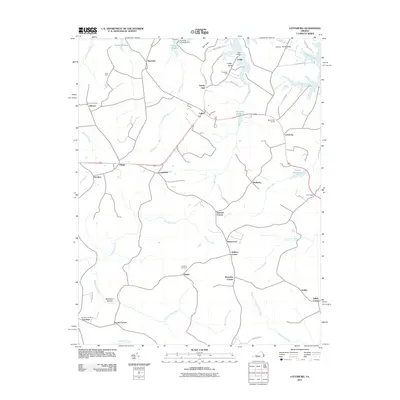 2011 Lottsburg2011 Print · USGSThe Virginia Northern Neck's tidal terrain is captured here just after the first decade of the new millennium. Local historians can trace family-named settlements and landmarks including Stately Oak, Gibeon Cemetery, and Gardy Millpond.
 - 2011 Map of Tappahannock, 2011 Print
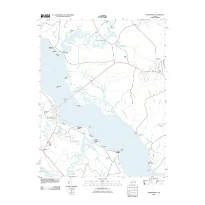 2011 Tappahannock2011 Print · USGSThe Rappahannock River valley at the start of the millennium shows a landscape shaped by its deep-water landings and colonial-era settlement patterns. Researchers can trace family sites and local history from Warsaw to Naylors Beach, including Clarksville Cemetery and Menokin Landing.
 - 2011 Map of Rollins Fork, 2011 Print
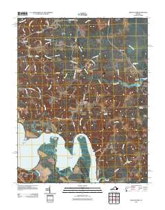 2011 Rollins Fork2011 Print · USGSCoastal Virginia and the Northern Neck come to life in this early twenty-first-century survey of the riverbanks and crossroads. Researchers can trace family sites and local landmarks from Shiloh Cemetery to the waterfront at Wilmot Wharf and Nanzatico Bay.
 - 2011 Map of Haynesville, 2011 Print
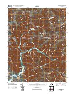 2011 Haynesville2011 Print · USGSCoastal Virginia's rural landscape is captured here in the early twenty-first century, showing a network of creeks and landings. Researchers can trace family history through sites like Lyells Chapel Cemetery and landmarks such as Moores Mill or Deep Landing.
 - 2011 Map of Montross, 2011 Print
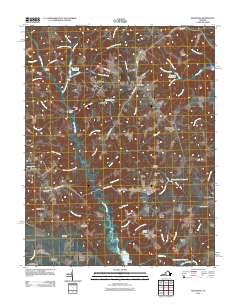 2011 Montross2011 Print · USGSWestmoreland County at the turn of the decade reveals a landscape where deep-rooted family hamlets and tidal wetlands converge. Researchers can trace historic boundaries and burial sites like Welcome Grove Cemetery, Chandlers Millpond, and Nomini Grove.
 - 2013 Map of Colonial Beach North, 2013 Print
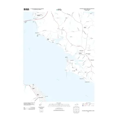 2013 Colonial Beach North2013 Print · USGSThe Potomac River crossing and its surrounding shoreline communities are captured here in the early twenty-first century. Genealogists and researchers can trace local landmarks from the Laidlow Ferry to the residential streets of Colonial Beach and Potomac Beach.
 - 2013 Map of Montross, 2013 Print
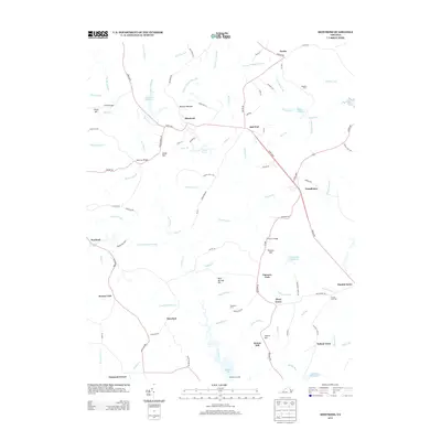 2013 Montross2013 Print · USGSWestmoreland County’s rural character is preserved in this recent survey of the Virginia Northern Neck. Researchers can trace historic landholdings and small crossroads communities from Montross and Templeman to the landings and mills at Menokin Landing and Weavers Millpond.
 - 2013 Map of Kinsale, 2013 Print
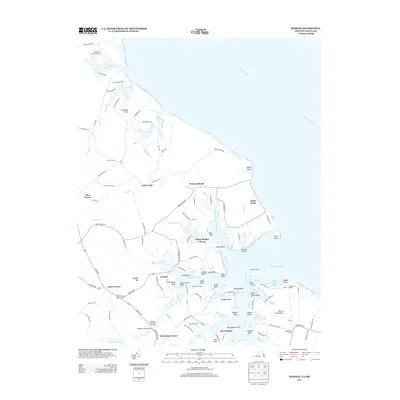 2013 Kinsale2013 Print · USGSThe Northern Neck shoreline at Kinsale and Harryhogan is captured here in the early twenty-first century. Genealogists and historians can trace family-named points and landings, from Barn Point Light to Hampton Hall Creek Landing and Tucker Hill.
 - 2013 Map of Champlain, 2013 Print
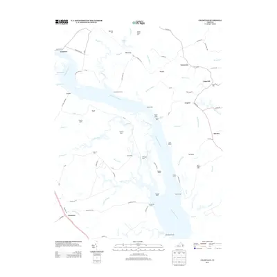 2013 Champlain2013 Print · USGSThe Rappahannock River riverfront near Foneswood and Champlain is captured here in the early 2010s, showing a landscape defined by historic tidewater landings. Trace old river access points at Carters Wharf or locate family estates like Malvale Farm and Lindsay Hall Farm.
 - 2013 Map of Stratford Hall, 2013 Print
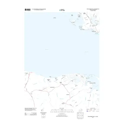 2013 Stratford Hall2013 Print · USGSThe Potomac River divides the Maryland and Virginia shorelines in this modern topographic study of the Northern Neck. Genealogists and historians can trace family estates and landing points such as Stratford Hall, Coltons Point, and Friendly Hall.
 - 2013 Map of Colonial Beach South, 2013 Print
 2013 Colonial Beach South2013 Print · USGSCoastal Westmoreland County and the tidal Potomac River are documented here in the early 2010s. Researchers can trace family-named points and historic landings like Sebastian Point, Popes Creek Landing, and the community of Monroe Hall.
 - 2013 Map of Machodoc, 2013 Print
 2013 Machodoc2013 Print · USGSWestmoreland County’s tidal inlets and rural crossroads are captured here in the early twenty-first century, showing a landscape shaped by water and wood. Researchers can trace maritime heritage at Beales Wharf or locate family history near Antioch Farm, Oldhams, and Hinnom.
 - 2013 Map of Loretto, 2013 Print
 2013 Loretto2013 Print · USGSThe Rappahannock River waterfront and its surrounding farm country are captured here in the early twenty-first century. Researchers can trace land use through local landmarks like Saunders Wharf, Spindles Millpond, and the historic crossing at Bethlehem Fork.
 - 2013 Map of Rollins Fork, 2013 Print
 2013 Rollins Fork2013 Print · USGSThe Westmoreland County waterfront and rural crossroads are captured here during the early twenty-first century. Genealogists and local historians can trace family land and old river landings at Greenlaw Wharf, Leesville, and Dickinsons Corner.
 - 2013 Map of Dahlgren, 2013 Print
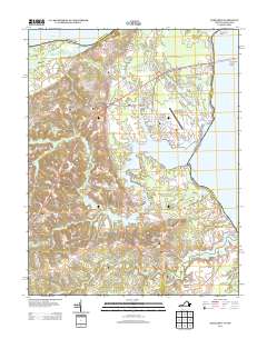 2013 Dahlgren2013 Print · USGSThe Potomac River waterfront in the early twenty-first century is dominated by naval facilities and long-standing river landings. Genealogists and historians can trace family-named points and settlements like Pumpkin Neck, Howland Point, and the Oyster Shell Landing along Upper Machodoc Cr.
Showing maps 1-25 of 75
Top cities of Westmoreland County
Frequently asked questions
- What are the different types of historical maps available for Westmoreland County?
- What is the oldest map of Westmoreland County?
- Where can I purchase historical maps of Westmoreland County for my home or office?
- Where can I download high-res historical maps of Westmoreland County?
- Are there historical topographic maps available for Westmoreland County?
- Is there historical aerial imagery available for Westmoreland County?
- Where are historical maps of Westmoreland County sourced from?