2000s (21st Century) Maps of Kelso, Washington
Explore 20 historic maps of Kelso from the 2000s (21st Century). These maps offer a rare glimpse into what life looked like during the 2000s — showing old roads, neighborhoods, homes, and landmarks that have changed or disappeared over time.
Whether you're researching your family's past, planning a metal detecting trip, or studying how Kelso's landscape evolved across the 2000s, these high-resolution maps are a powerful tool for exploring the history of this region.
- Focus on a specific era: All maps on this page are from the 2000s, giving you a focused view of this time period.
- See what’s changed: Compare century-old streets, trails, and buildings to today's modern landscape using overlays and satellite layers.
- Research with precision: Use these maps for genealogy, historical research, land use analysis, or educational projects.
- View, download, or print: Maps are fully viewable online in high resolution, and can be downloaded or printed for your own records.
Start exploring Kelso's history through authentic maps from the 2000s. This is your window into the past.
Kelso, WA maps
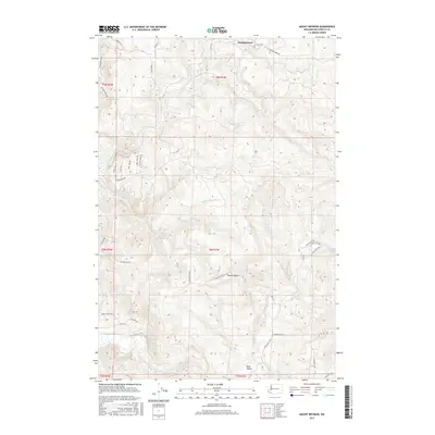
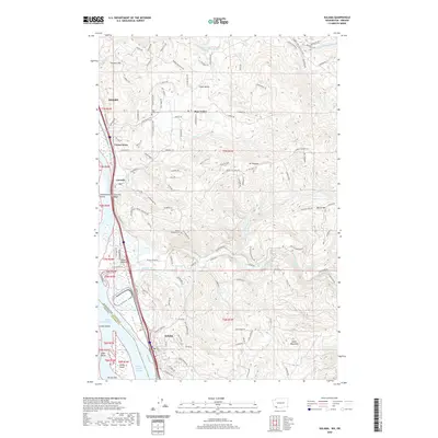
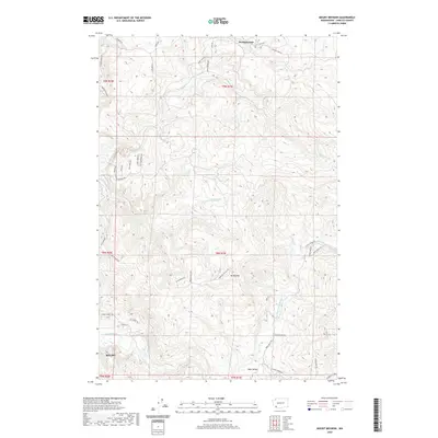
(20)- 2011 Map of Mount Brynion, 2011 Print
 2011 Mount Brynion2011 Print · USGSCovers Kelso, including Cowlitz County, United States, and other nearby areas
 - 2011 Map of Kalama, 2011 Print
 2011 Kalama2011 Print · USGSCovers Kelso, including Kalama, Vision Acres, and other nearby areas
 - 2011 Map of Kelso, 2011 Print
 2011 Kelso2011 Print · USGSCovers Kelso, including Longview, Castle Rock, and other nearby areas
 - 2011 Map of Rainier, 2011 Print
 2011 Rainier2011 Print · USGSCovers Kelso, including Longview, Rainier, and other nearby areas
 - 2013 Map of Mount Brynion, 2013 Print
 2013 Mount Brynion2013 Print · USGSCovers Kelso, including Cowlitz County, United States, and other nearby areas
 - 2013 Map of Kelso, 2013 Print
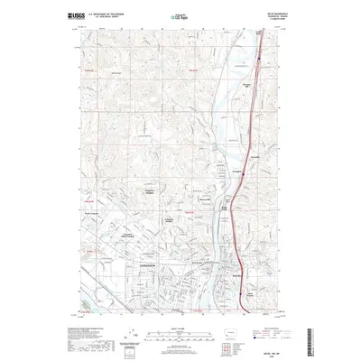
 2013 Kelso2013 Print · USGSCovers Kelso, including Longview, Castle Rock, and other nearby areas
 - 2013 Map of Kalama, 2013 Print
 2013 Kalama2013 Print · USGSCovers Kelso, including Kalama, Vision Acres, and other nearby areas
 - 2014 Map of Rainier, 2014 Print
 2014 Rainier2014 Print · USGSCovers Kelso, including Longview, Rainier, and other nearby areas
 - 2017 Map of Kalama, 2017 Print
 2017 Kalama2017 Print · USGSCovers Kelso, including Kalama, Vision Acres, and other nearby areas
 - 2017 Map of Mount Brynion, 2017 Print
 2017 Mount Brynion2017 Print · USGSCovers Kelso, including Cowlitz County, United States, and other nearby areas
 - 2017 Map of Kelso, 2017 Print
 2017 Kelso2017 Print · USGSCovers Kelso, including Longview, Castle Rock, and other nearby areas
 - 2017 Map of Rainier, 2017 Print
 2017 Rainier2017 Print · USGSCovers Kelso, including Longview, Rainier, and other nearby areas
 - 2020 Map of Kelso, 2020 Print
 2020 Kelso2020 Print · USGSCovers Kelso, including Longview, Castle Rock, and other nearby areas
 - 2020 Map of Kalama, 2020 Print
 2020 Kalama2020 Print · USGSCovers Kelso, including Kalama, Vision Acres, and other nearby areas
 - 2020 Map of Mount Brynion, 2020 Print
 2020 Mount Brynion2020 Print · USGSCovers Kelso, including Cowlitz County, United States, and other nearby areas
 - 2020 Map of Rainier, 2020 Print
 2020 Rainier2020 Print · USGSCovers Kelso, including Longview, Rainier, and other nearby areas
 - 2023 Map of Mount Brynion, 2023 Print
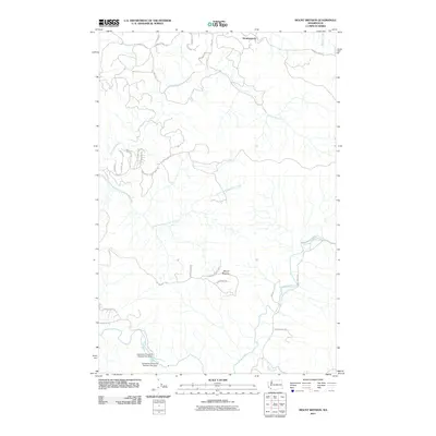
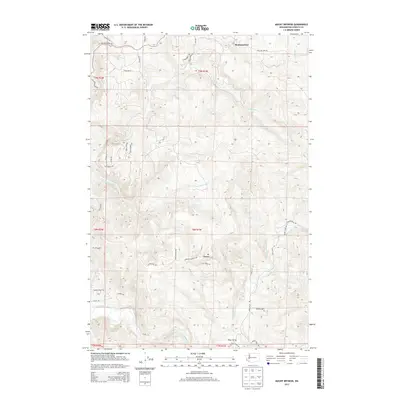
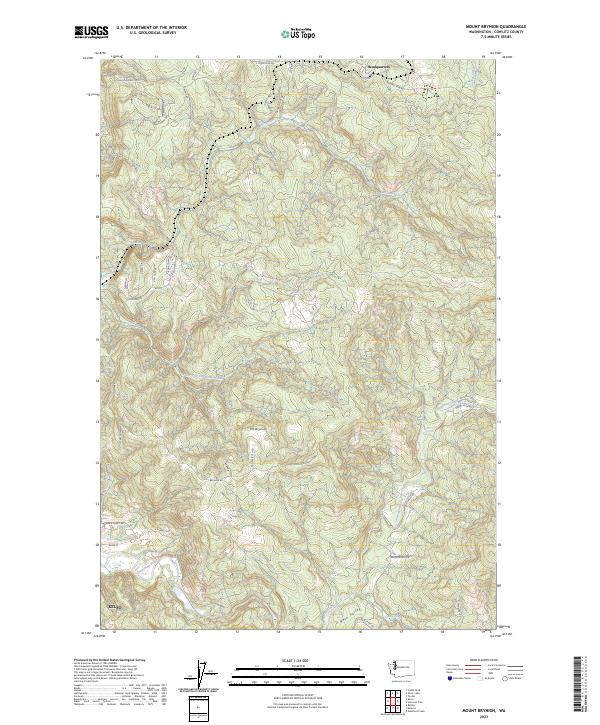 2023 Mount Brynion2023 Print · USGSThe northern outskirts of Kelso and the timberlands of Cowlitz County are documented in the early twenty-first century. Researchers can trace the rural road networks surrounding Mt Brynion and the settlement of Headquarters along the Coweeman River.
 - 2023 Map of Kelso, 2023 Print
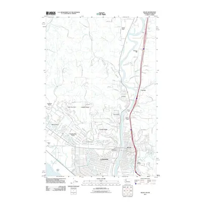
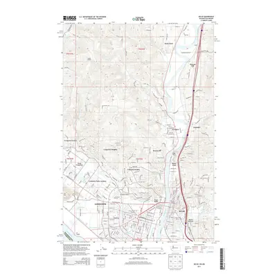
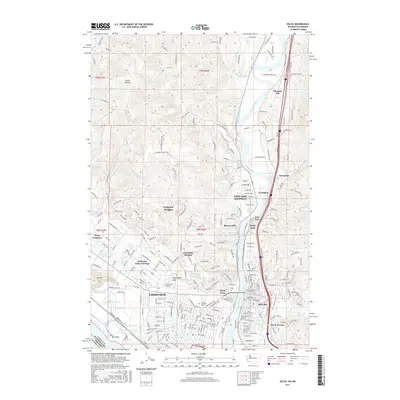
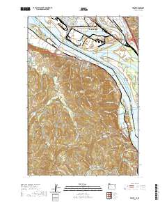
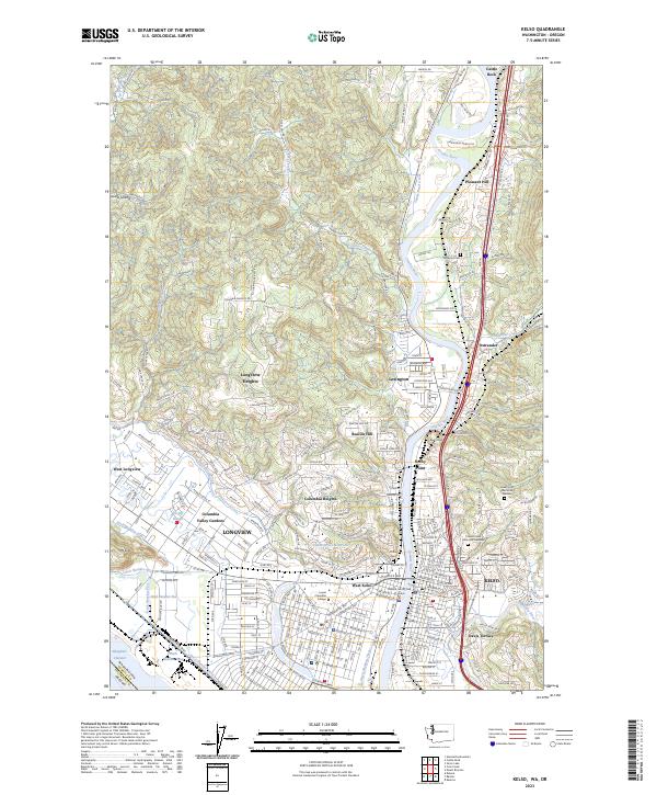 2023 Kelso2023 Print · USGSThe riverfront cities of Kelso and Longview are documented in this contemporary survey of Cowlitz County. Local researchers can pinpoint specific sites such as Lower Columbia College, Stockport Cem, and the residential neighborhoods of Beacon Hill or Davis Terrace.
 - 2023 Map of Kalama, 2023 Print
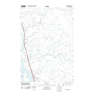
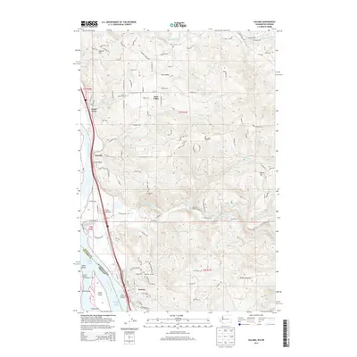
 2023 Kalama2023 Print · USGSThe riverfront at Kalama and Carrolls is captured in the early 2020s, showing a landscape defined by the Columbia River and heavy transit. Genealogists can trace family sites at the Odd Fellows Cem or follow the Great Northern RR line.
 - 2024 Map of Rainier, 2024 Print
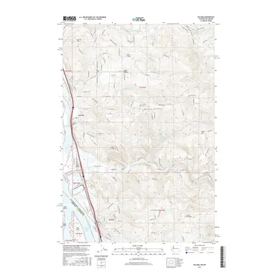
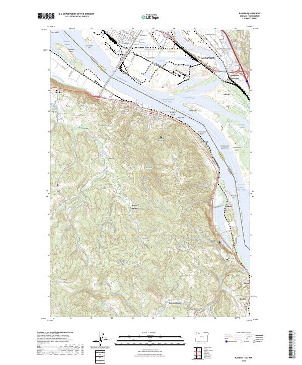 2024 Rainier2024 Print · USGSThe Oregon-Washington borderlands near Rainier and Longview are defined by the Columbia River's industrial shoreline and the inland valleys of Columbia County. Genealogists can locate Hudson Cem and Prescott Cem or trace rural life through Beaver Springs and Beaver Homes.
End of results
Showing maps 1-20 of 20
Top cities near Kelso
- Longview historical maps
- Woodland historical maps
- Kalama historical maps
- Castle Rock historical maps
- Columbia City historical maps
- Rainier historical maps
See more
Top neighborhoods of Kelso
Frequently asked questions
- What are the different types of historical maps available for Kelso?
- What is the oldest map of Kelso?
- Where can I purchase historical maps of Kelso for my home or office?
- Where can I download high-res historical maps of Kelso?
- Are there historical topographic maps available for Kelso?
- Is there historical aerial imagery available for Kelso?
- Where are historical maps of Kelso sourced from?