Old Maps of Kelso, Washington for Hiking & Exploration
Hike through history with 33 historic maps of Kelso. Explore old trails, ghost towns, and forgotten backroads — perfect for outdoor adventurers and local explorers.
- Rediscover forgotten places: Map out old mining camps, roads, and footpaths that no longer exist on modern maps.
- Layer with modern tools: Combine with LiDAR or satellite views to plan hikes through historical terrain.
- Made for exploration: Popular among hikers, overlanders, and local history lovers.
Use these maps to find adventure and explore the hidden past of Kelso.
Kelso, WA maps
(33)- 1921 Map of Kalama
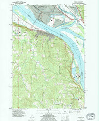
 1921 Kalama1921 Print · USGSThe Columbia River corridor is captured here in the early twenties, showing the vital rail and road networks connecting Washington and Oregon. Genealogists and historians can locate riverside settlements like Carrolls PO, industrial landmarks like the Ostrander Tunnel, and early routes like the Pacific Highway.
 - 1953 Map of Hoquiam
 1953 Hoquiam1953 Print · USGSSouthwest Washington in the early fifties shows a landscape shaped by timber, rail, and river commerce from the coast to the Cascades. Genealogists and historians can trace the development of timber towns like Ryderwood and the industrial hubs of Hoquiam and Kelso.2 unique versions available
 - 1953 Map of Mt. Brynion, 1955 Print
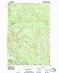
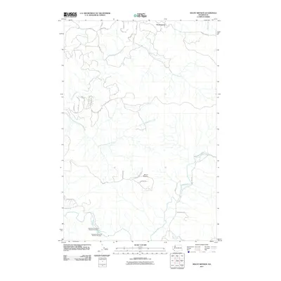
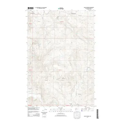
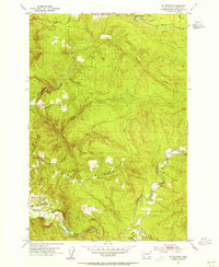 1953 Mt. Brynion1955 Print · USGSCowlitz County timber country is captured here in the early fifties, showing the transition from river valleys to high logging ridges. Researchers can trace the path of the Private Railroad and locate landmarks like the Coweman River Gaging Sta and Rose Valley.4 unique versions available
 - 1953 Map of Rainier, 1955 Print
 1953 Rainier1955 Print · USGSThe Columbia River waterfront at the start of the fifties reveals a heavy industrial corridor between Oregon and Washington. Genealogists and local historians can locate early landmarks like Hudson Cem, Neer City Sch, and the Reuben (site).4 unique versions available
 - 1953 Map of Kalama, 1955 Print
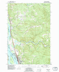
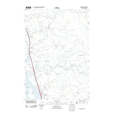
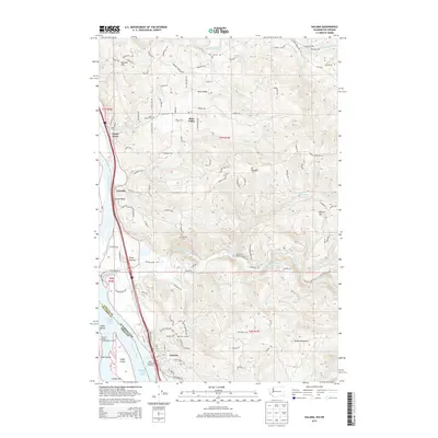
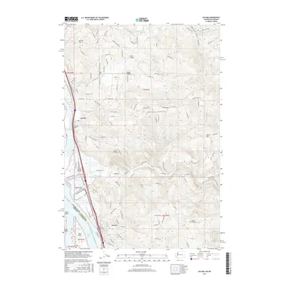
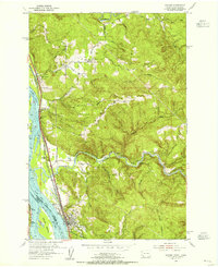 1953 Kalama1955 Print · USGSThe Columbia River corridor in the early fifties shows a bustling network of rail and river commerce. Genealogists can trace the rural life of Rose Valley through the Rose Valley School and locate ancestors at Mt Pleasant Cem.5 unique versions available
 - 1953 Map of Kelso, 1955 Print
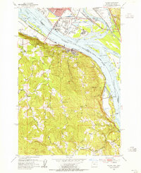
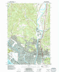
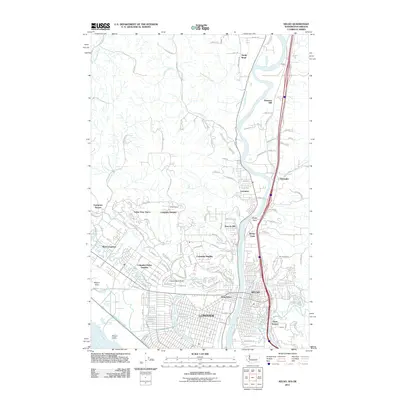
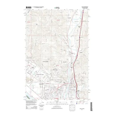
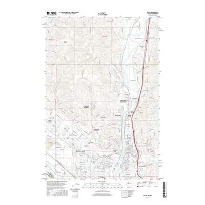
 1953 Kelso1955 Print · USGSThe industrial corridor of the Cowlitz and Columbia rivers comes alive in the mid-1950s, showing the early development of the Longview-Kelso area. Researchers can trace the layout of local institutions like R A Long HS or find rural landmarks like Sandy Bend School and Huntington Rock.3 unique versions available
 - 1957 Map of Hoquiam
 1957 Hoquiam1957 Print · USGSCoastal timber ports and inland rail hubs define Southwest Washington during the late fifties. Genealogists can trace early twentieth-century settlements like Bordeaux, Tono, and Cosmopolis alongside the expanding tracks of the Northern Pacific.
 - 1958 Map of Hoquiam, 1969 Print
 1958 Hoquiam1969 Print · USGSSouthwest Washington and the Columbia River estuary appear here in the mid-century, before major landscape shifts. Researchers can trace the rail lines of the Northern Pacific, locate the Fort Henness Site, or explore the Naselle Air Force Station.2 unique versions available
 - 1962 Map of Hoquiam
 1962 Hoquiam1962 Print · USGSSouthwest Washington in the late fifties is defined by the bustling timber ports of Hoquiam and the rail-linked commerce of the interior valleys. Genealogists and historians can trace the early footprints of settlements like Raymond and Pe Ell, or locate family sites at Grand Mound Cem and Odd Fellows Cem.
 - 1990 Map of Mount Brynion, 1995 Print
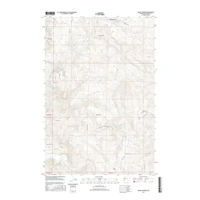
 1990 Mount Brynion1995 Print · USGSThe timberlands and river valleys east of Kelso are captured here in the early nineties. Researchers can trace the RAILROAD through its Tunnel, locate the Headquarters logging site, or follow the winding Coweeman River.
 - 1990 Map of Rainier, 1995 Print
 1990 Rainier1995 Print · USGSAlong the Columbia River in the early nineties, industrial waterfronts met the rural hills of Oregon. Trace family roots at Hudson Cem, explore the riverside at Rainier, or locate the Power Plant at Trojan.
 - 1990 Map of Kalama, 1995 Print
 1990 Kalama1995 Print · USGSSettled along the busy river-and-rail corridor of the lower Columbia, this area in the early nineties shows a landscape balanced between industry and timbered uplands. Researchers can trace family sites at Rose Valley Cemetery, explore the riverside rail lines of the Burlington Northern, and locate old landmarks like the Salmon Hatchery and Carrolls Bluff.
 - 1990 Map of Kelso, 1995 Print
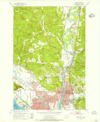
 1990 Kelso1995 Print · USGSThe industrial and riverfront centers of the Pacific Northwest are captured in the 1990s as the cities grew around the Cowlitz River. Genealogists and historians can trace neighborhood development near Lower Columbia College and locate old settlements like Ostrander and Pleasant Hill.
 - 2011 Map of Mount Brynion, 2011 Print
 2011 Mount Brynion2011 Print · USGSCovers Kelso, including Cowlitz County, United States, and other nearby areas
 - 2011 Map of Kalama, 2011 Print
 2011 Kalama2011 Print · USGSCovers Kelso, including Kalama, Vision Acres, and other nearby areas
 - 2011 Map of Kelso, 2011 Print
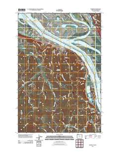
 2011 Kelso2011 Print · USGSCovers Kelso, including Longview, Castle Rock, and other nearby areas
 - 2011 Map of Rainier, 2011 Print
 2011 Rainier2011 Print · USGSCovers Kelso, including Longview, Rainier, and other nearby areas
 - 2013 Map of Mount Brynion, 2013 Print
 2013 Mount Brynion2013 Print · USGSCovers Kelso, including Cowlitz County, United States, and other nearby areas
 - 2013 Map of Kelso, 2013 Print
 2013 Kelso2013 Print · USGSCovers Kelso, including Longview, Castle Rock, and other nearby areas
 - 2013 Map of Kalama, 2013 Print
 2013 Kalama2013 Print · USGSCovers Kelso, including Kalama, Vision Acres, and other nearby areas
 - 2014 Map of Rainier, 2014 Print
 2014 Rainier2014 Print · USGSCovers Kelso, including Longview, Rainier, and other nearby areas
 - 2017 Map of Kalama, 2017 Print
 2017 Kalama2017 Print · USGSCovers Kelso, including Kalama, Vision Acres, and other nearby areas
 - 2017 Map of Mount Brynion, 2017 Print
 2017 Mount Brynion2017 Print · USGSCovers Kelso, including Cowlitz County, United States, and other nearby areas
 - 2017 Map of Kelso, 2017 Print
 2017 Kelso2017 Print · USGSCovers Kelso, including Longview, Castle Rock, and other nearby areas
 - 2017 Map of Rainier, 2017 Print
 2017 Rainier2017 Print · USGSCovers Kelso, including Longview, Rainier, and other nearby areas
Showing maps 1-25 of 33
Top cities near Kelso
- Longview historical maps
- Woodland historical maps
- Kalama historical maps
- Castle Rock historical maps
- Columbia City historical maps
- Rainier historical maps
See more
Top neighborhoods of Kelso
Frequently asked questions
- What are the different types of historical maps available for Kelso?
- What is the oldest map of Kelso?
- Where can I purchase historical maps of Kelso for my home or office?
- Where can I download high-res historical maps of Kelso?
- Are there historical topographic maps available for Kelso?
- Is there historical aerial imagery available for Kelso?
- Where are historical maps of Kelso sourced from?