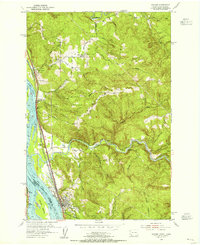
1953 Map of Kalama
USGS Topo · Published 1955About this map
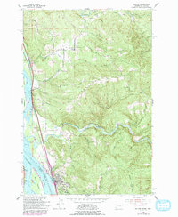
The Columbia River serves as the dominant artery of this 1953 survey, where the riverfront bustle of Kalama contrasts with the steep, timbered hills to the east. This section of the river is a major transit corridor, showing the shared tracks of the Great Northern, Northern Pacific, and Union Pacific railroads hugging the shoreline alongside Highway 99. These tracks and roads connect riverside points like Carrolls and Goble, Oregon, while the Kalama River cuts through the interior, past Marietta Falls and the Salmon Hatchery.
Find a feature on this map
40 named features on this map. Tap any name to fly to it.
Don’t see what you’re looking for? This feature index may not catch every label — zoom into the map to look around manually.
Map Details
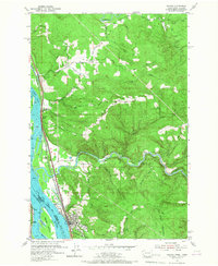
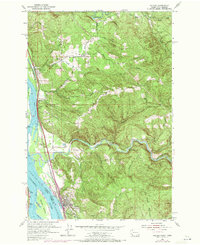
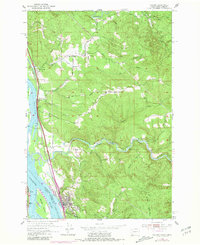
Editions of this 1953 Kalama Map
5 editions found
Other maps of this area

1921 · Kalama
USGS Topo · 1:62,500

1922 · St. Helens
USGS Topo · 1:62,500

1940 · La Center
USGS Topo · 1:62,500

1941 · St Helens
USGS Topo · 1:62,500

1943 · Pigeon Springs
USGS Topo · 1:62,500

1943 · St Helens
USGS Topo · 1:62,500

1948 · Vancouver
USGS Topo · 1:250,000

1950 · Vancouver
USGS Topo · 1:250,000

1950 · Vancouver
USGS Topo · 1:250,000

1953 · Hoquiam
USGS Topo · 1:250,000