Loading...
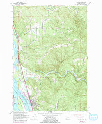
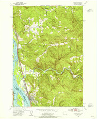
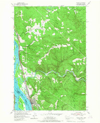
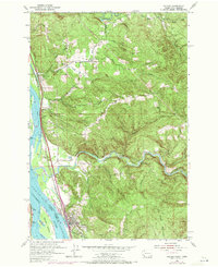
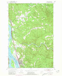
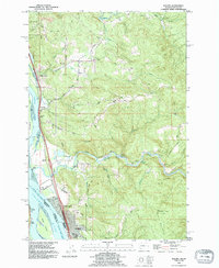
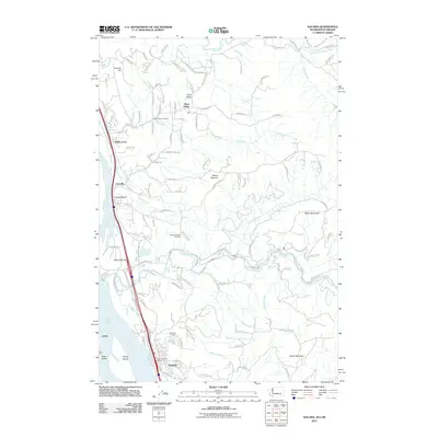
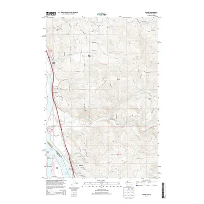
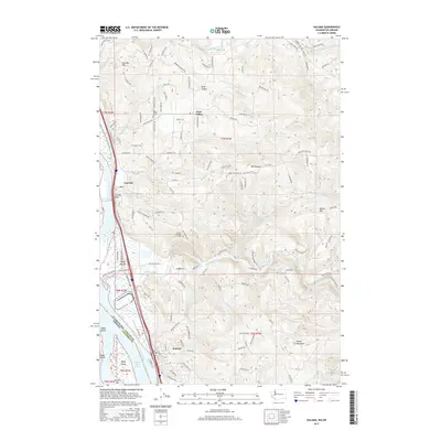
Loading map...1953 Map of Kalama
USGS Topo · Published 1993About this map
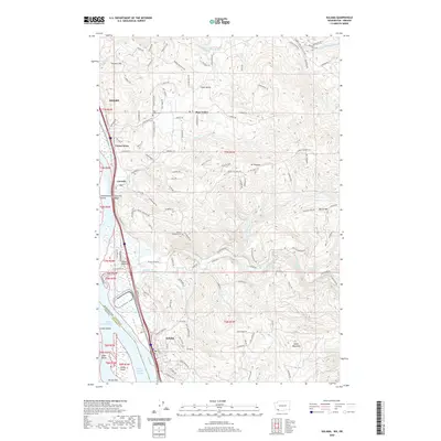
The Columbia River serves as the dominant artery of this region, defining the border between Washington and Oregon. This 1953 survey, updated with 1970 revisions, highlights the industrial and residential growth concentrated along the riverbank in Kalama and Carrolls. The transportation network is dense here, featuring the Burlington Northern railroad and a significant pipeline corridor that follow the river's contour.
Find a feature on this map
39 named features on this map. Tap any name to fly to it.
Don’t see what you’re looking for? This feature index may not catch every label — zoom into the map to look around manually.
Map Details
Date Portrayed1953
Date Published1993
PublisherU.S. Geological Survey
Map TypeTopographic
Scale1:24,000
Physical Dimensions22 x 26.9 inches
Editions of this 1953 Kalama Map
5 editions found
Historical Maps of Kelso Through Time
8 maps found


Featured Locations
Source Details
SourceU.S. Geological Survey
CopyrightPublic Domain