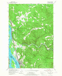
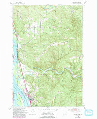
1953 Map of Kalama
USGS Topo · Published 1967About this map
The Columbia River serves as the focal point for this mid-century survey, dividing Washington and Oregon as it flows past the established waterfront of Kalama. The landscape is defined by the convergence of major transportation arteries and industrial water usage, notably the concentrated rail lines of the Great Northern and Northern Pacific, alongside a Union Pacific route under construction. Inland, the rugged terrain is carved by the Kalama River and Coweman River, supporting a Salmon Hatchery and numerous small drainages like Owl Creek and Cedar Creek. Local life is anchored by family-centered sites such as the Rose Valley School and Rose Valley Cemetery, while the river's complexity is illustrated by features like Sandy Island, Cottonwood Island, and the navigation hazards at Elder Rocks and Hunter Bar.
Find a feature on this map
39 named features on this map. Tap any name to fly to it.
Don’t see what you’re looking for? This feature index may not catch every label — zoom into the map to look around manually.
Map Details
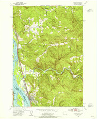
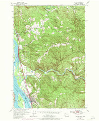
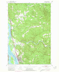
Editions of this 1953 Kalama Map
5 editions found
Other maps of this area

1921 · Kalama
USGS Topo · 1:62,500

1922 · St. Helens
USGS Topo · 1:62,500

1940 · La Center
USGS Topo · 1:62,500

1941 · St Helens
USGS Topo · 1:62,500

1943 · Pigeon Springs
USGS Topo · 1:62,500

1943 · St Helens
USGS Topo · 1:62,500

1948 · Vancouver
USGS Topo · 1:250,000

1950 · Vancouver
USGS Topo · 1:250,000

1950 · Vancouver
USGS Topo · 1:250,000

1953 · Hoquiam
USGS Topo · 1:250,000