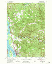
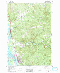
1953 Map of Kalama
USGS Topo · Published 1971About this map
The Columbia River serves as the primary artery of commerce and geography for this portion of the Pacific Northwest, dividing Cowlitz County, Washington, from Columbia County, Oregon. The town of Kalama is situated at the river's edge, supported by the dual infrastructure of the Burlington Northern and Union Pacific RR. This era of the landscape is defined by the winding course of the Kalama River, which moves through narrow valleys toward its confluence with the Columbia, passing landmarks such as Marietta Falls and the Salmon Hatchery.
Find a feature on this map
35 named features on this map. Tap any name to fly to it.
Don’t see what you’re looking for? This feature index may not catch every label — zoom into the map to look around manually.
Map Details
Editions of this 1953 Kalama Map
5 editions found
Other maps of this area

1921 · Kalama
USGS Topo · 1:62,500

1922 · St. Helens
USGS Topo · 1:62,500

1940 · La Center
USGS Topo · 1:62,500

1941 · St Helens
USGS Topo · 1:62,500

1943 · Pigeon Springs
USGS Topo · 1:62,500

1943 · St Helens
USGS Topo · 1:62,500

1948 · Vancouver
USGS Topo · 1:250,000

1950 · Vancouver
USGS Topo · 1:250,000

1950 · Vancouver
USGS Topo · 1:250,000

1953 · Hoquiam
USGS Topo · 1:250,000