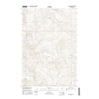
2017 Map of Mount Brynion
USGS Topo · Published 2017About this map
Mount Brynion rises as a central topographic landmark in this section of Cowlitz County, overlooking a landscape defined by the winding Coweeman River and the complex drainage systems of Ostrander Creek. The map documents a region where industrial logging interests and rural residential pockets meet, notably at Headquarters and the community of Rose Valley. Extensive road networks like Logging 1600 Road and Weyerhaeuser Road underscore the importance of timber management in the high ground, while lower elevations near the river are marked by local landmarks such as Schoolhouse Road and Nesbit Loop Road. The detailed contouring illustrates the transition from the river valley floor to the steep, dissected ridges that characterize the western slopes of the Cascades foothills.
Find a feature on this map
42 named features on this map. Tap any name to fly to it.
Don’t see what you’re looking for? This feature index may not catch every label — zoom into the map to look around manually.
Map Details
Editions of this 2017 Mount Brynion Map
This is the sole edition of this map. No revisions or reprints were ever made.
Other maps of this area

1921 · Kalama
USGS Topo · 1:62,500

1941 · Olequa
USGS Topo · 1:62,500

1942 · Toutle
USGS Topo · 1:62,500

1943 · Pigeon Springs
USGS Topo · 1:62,500

1953 · Hoquiam
USGS Topo · 1:250,000

1953 · Toutle
USGS Topo · 1:62,500

1953 · Castle Rock
USGS Topo · 1:62,500

1953 · Mt. Brynion
USGS Topo · 1:24,000

1953 · Pigeon Springs
USGS Topo · 1:62,500

1953 · Rainier
USGS Topo · 1:24,000