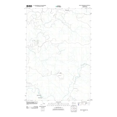
2011 Map of Mount Brynion
USGS Topo · Published 2011About this map
Mount Brynion rises as the central landmark of this Cowlitz County landscape, surrounded by a dense network of timber-related infrastructure and winding river valleys. The topography is defined by the drainage basins of Ostrander Creek and its South Fork, which cut through the terrain north of the prominent peak. The presence of specialized transport routes like Logging 1800 Rd and the settlement at Headquarters reflects the area's long-standing connection to the Pacific Northwest timber industry. To the south, the Coweeman River flows past industrial infrastructure, including the Coweeman Gravel Pit Number One Dam and its counterpart, Coweeman Gravel Pit Number Two Dam. Residential growth is evident in small pockets like Rose Valley Rd and the cluster of streets including Home Town Dr and Rollingwood Dr, showing the transition from industrial forest land to rural residential use.
Find a feature on this map
33 named features on this map. Tap any name to fly to it.
Don’t see what you’re looking for? This feature index may not catch every label — zoom into the map to look around manually.
Map Details
Editions of this 2011 Mount Brynion Map
This is the sole edition of this map. No revisions or reprints were ever made.
Other maps of this area

1921 · Kalama
USGS Topo · 1:62,500

1941 · Olequa
USGS Topo · 1:62,500

1942 · Toutle
USGS Topo · 1:62,500

1943 · Pigeon Springs
USGS Topo · 1:62,500

1953 · Hoquiam
USGS Topo · 1:250,000

1953 · Toutle
USGS Topo · 1:62,500

1953 · Castle Rock
USGS Topo · 1:62,500

1953 · Mt. Brynion
USGS Topo · 1:24,000

1953 · Pigeon Springs
USGS Topo · 1:62,500

1953 · Rainier
USGS Topo · 1:24,000