Old Maps of Harder, Washington for Academic Research
Study the evolution of Harder with 11 high-resolution historic maps. Whether you're teaching, researching, or modeling changes in land use, these maps provide essential visual documentation of urban, environmental, and geographic change.
- Analyze long-term change: Track patterns in development, transportation, and natural features.
- Ideal for environmental or urban studies: Support academic projects with primary historical map data.
- Use in the classroom or lab: Educators and researchers rely on these maps to bring historical context to life.
These maps are a powerful tool for teaching, research, and visualizing how Harder has changed over the decades.
Harder, WA maps
(11)- 1948 Map of Ayer, 1976 Print
 1948 Ayer1976 Print · USGSThe Snake River breaks through the basalt plateau in the late 1940s, serving as a vital corridor for the Union Pacific and various family operations. Researchers can trace the riverfront at Ayer and Magallon or locate named homesteads like the Tucker Farm and Davin Ranch.
 - 1950 Map of Haas
 1950 Haas1950 Print · USGSFranklin County at the midpoint of the century reveals a landscape shaped by the Snake River and competing rail lines. Genealogists and local historians can locate early homesteads like Davin Ranch and Nunamaker Farm alongside rail stops at Sperry and McAdam.
 - 1953 Map of Walla Walla, 1964 Print
 1953 Walla Walla1964 Print · USGSSoutheast Washington enters the atomic and hydroelectric age in the mid-twentieth century as new dams reshape the desert landscape. You can trace the development of the Hanford Works, identify remote rail stops like Novara Siding, and locate the historic Dry Creek Cem.3 unique versions available
 - 1958 Map of Walla Walla
 1958 Walla Walla1958 Print · USGSThe Tri-Cities and Walla Walla region are captured here during the mid-century expansion of atomic energy and river infrastructure. Genealogists and historians can trace the early layout of Richland (AEC), the rural Hatton and Washtucna settlements, and landmarks like Palouse Falls State Park.
 - 1981 Map of Sperry
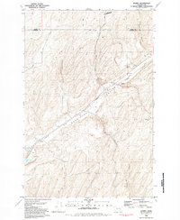 1981 Sperry1981 Print · USGSFranklin County grain-farming and rail history are highlighted here in the early eighties as the industrial corridor follows the dramatic geology of the Washtucna Coulee. Researchers can find Sperry with its Grain Elevators, the settlement of Harder, and a local Cem near Lake Kahlotus.
 - 1983 Map of Connell
 1983 Connell1983 Print · USGSEastern Washington's coulee country is captured here in the early eighties as a landscape of remote rail junctions and massive river engineering. Trace family roots in Connell or Kahlotus, and follow old transport lines like the Old Lind Road Grade and Burlington Northern tracks.
 - 2011 Map of Sperry, 2011 Print
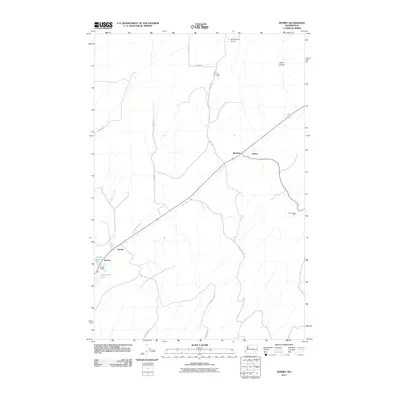 2011 Sperry2011 Print · USGSThe rural agricultural landscapes of Franklin County are shown here in the early twenty-first century. Genealogists and local historians can trace family-named sites such as Ross Farm and Harder Ranch alongside the rail junctions at McAdam and Wacota.
 - 2014 Map of Sperry, 2014 Print
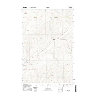 2014 Sperry2014 Print · USGSEastern Washington ranching and transit are captured here in the early twenty-first century as agricultural plateaus meet deep canyon lands. Researchers can locate family-named landmarks like Harder Ranch and Ross Farm or trace the routes through Skookum Canyon.
 - 2017 Map of Sperry, 2017 Print
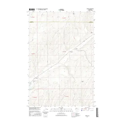 2017 Sperry2017 Print · USGSThe rail-and-ranching landscape of Eastern Washington's scablands is captured here in the late twenty-teens. Genealogists and historians can trace the transit nodes of Sperry and McAdam or the rural outposts of Harder and Wacota near Washtucna Lake.
 - 2020 Map of Sperry, 2020 Print
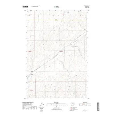 2020 Sperry2020 Print · USGSEastern Washington’s plateau country is captured here during a time of transition from industrial rail corridor to recreational use. Researchers can trace the path of the Columbia Plateau State Park Trail through small hubs like Sperry, Harder, and Wacota.
 - 2023 Map of Sperry, 2023 Print
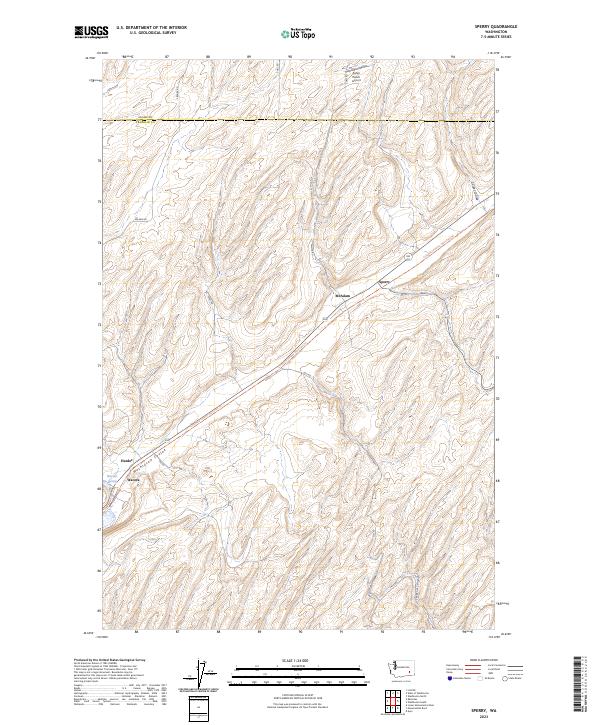 2023 Sperry2023 Print · USGSFranklin and Adams counties are shown in this contemporary study of the Palouse landscape and its converted rail corridors. Researchers can trace the path of the Columbia Plateau State Park Trl through Sperry, Harder, and the Washtucna Coulee.
End of results
Showing maps 1-11 of 11
Top cities near Harder
Frequently asked questions
- What are the different types of historical maps available for Harder?
- What is the oldest map of Harder?
- Where can I purchase historical maps of Harder for my home or office?
- Where can I download high-res historical maps of Harder?
- Are there historical topographic maps available for Harder?
- Is there historical aerial imagery available for Harder?
- Where are historical maps of Harder sourced from?