2000s (21st Century) Maps of Island County, Washington
Explore 105 historic maps of Island County from the 2000s (21st Century). These maps offer a rare glimpse into what life looked like during the 2000s — showing old roads, neighborhoods, homes, and landmarks that have changed or disappeared over time.
Whether you're researching your family's past, planning a metal detecting trip, or studying how Island County's landscape evolved across the 2000s, these high-resolution maps are a powerful tool for exploring the history of this region.
- Focus on a specific era: All maps on this page are from the 2000s, giving you a focused view of this time period.
- See what’s changed: Compare century-old streets, trails, and buildings to today's modern landscape using overlays and satellite layers.
- Research with precision: Use these maps for genealogy, historical research, land use analysis, or educational projects.
- View, download, or print: Maps are fully viewable online in high resolution, and can be downloaded or printed for your own records.
Start exploring Island County's history through authentic maps from the 2000s. This is your window into the past.
Island County, WA maps
(105)- 2011 Map of Port Townsend North, 2011 Print
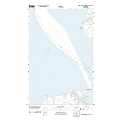 2011 Port Townsend North2011 Print · USGSThe northern reaches of the Olympic and Whidbey peninsulas meet at the entrance to the sound in the early 2010s. Maritime researchers and local historians can locate the Point Wilson Lighthouse, the Jefferson County Fairgrounds, and the quiet waters of Lake Pondilla.
 - 2011 Map of Smith Island, 2011 Print
 2011 Smith Island2011 Print · USGSThe maritime frontier of Island County comes into focus in the early twenty-first century, centered on isolated outposts in the Strait of Juan de Fuca. Nautical researchers can trace the position of the Smith Island Lighthouse and examine the shoals of Partridge Bank.
 - 2011 Map of Nordland, 2011 Print
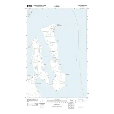 2011 Nordland2011 Print · USGSMarrowstone and Indian Islands are documented here in the early 2000s, showcasing the maritime infrastructure of the Puget Sound entrance. Researchers can trace land use at Fort Flagler, locate the Nordland Post Office, or identify family sites near Sound View Cemetery.
 - 2011 Map of Freeland, 2011 Print
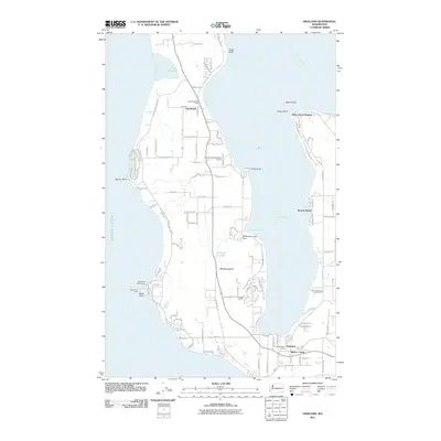 2011 Freeland2011 Print · USGSWhidbey Island in the early twenty-first century reveals a landscape shaped by coastal coves and growing communities. Researchers can trace local development through landmarks like Greenbank, the Bush Point Light, and the Meerkerk Rhododendron Gardens.
 - 2011 Map of Crescent Harbor, 2011 Print
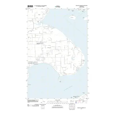 2011 Crescent Harbor2011 Print · USGSWhidbey Island's northern shores are documented here in the early twenty-first century, showing a mix of military history and coastal development. Researchers can trace the legacy of Fort Whitman on Goat Island or locate family-named industrial sites like Kyle's Pit and Krieg Quarry.
 - 2011 Map of Deception Pass, 2011 Print
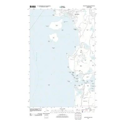 2011 Deception Pass2011 Print · USGSCoastal Fidalgo Island and the northern tip of Whidbey Island are captured here during the first decade of the 2000s. Marine historians and genealogists can trace the Burrows Island Lighthouse, the reach of Anaco Beach, and the iconic Deception Pass Bridge.
 - 2011 Map of Tulalip, 2011 Print
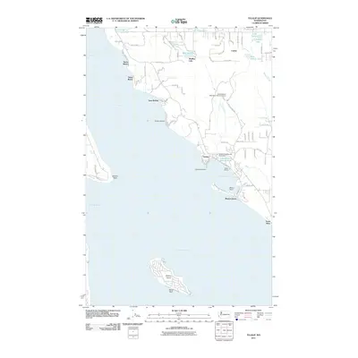 2011 Tulalip2011 Print · USGSCoastal Snohomish County is captured here in the early twenty-first century, showcasing the tribal lands and waterfront settlements. Researchers can trace shoreline developments from Spee-Bi-Dah to Mission Beach and locate features like Gedney Island and the Tulalip Salmon Rearing Pond.
 - 2011 Map of Langley, 2011 Print
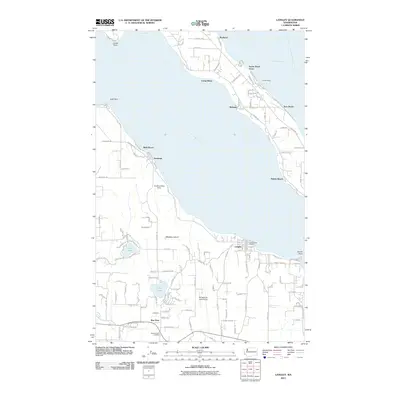 2011 Langley2011 Print · USGSWhidbey Island and Camano Island face one another across the Saratoga Passage during a period of significant coastal residential growth. Local historians can trace the development of Langley and Mabana, alongside landmarks like the Whidbey Air Park Airport and Lone Lake.
 - 2011 Map of Juniper Beach, 2011 Print
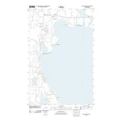 2011 Juniper Beach2011 Print · USGSCamano Island's eastern shoreline and the waters of Port Susan come into sharp focus in the early twenty-first century. Genealogists and local researchers can trace family lands near the Camano Island Pioneer Cemetery or locate homes in beach settlements like New Utsaladdy and Juniper Beach.
 - 2011 Map of Port Ludlow, 2011 Print
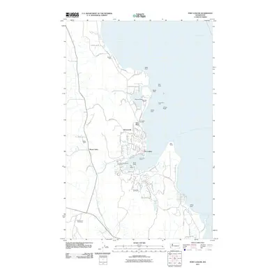 2011 Port Ludlow2011 Print · USGSThis part of the Olympic Peninsula highlights the maritime character of the area in the early twenty-first century. Researchers can trace the development of Port Ludlow, the industrial site at Mats Mats Quarry, and the residential layout around Teal Lake.
 - 2011 Map of Maxwelton, 2011 Print
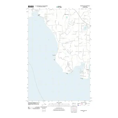 2011 Maxwelton2011 Print · USGSThe southern tip of Whidbey Island is shown here in the early twenty-first century, capturing a landscape of coastal coves and interior lakes. Genealogists and locals can trace property locations along Maxwelton Rd or identify landmarks like Scatchet Head and Possession Point.
 - 2011 Map of Hansville, 2011 Print
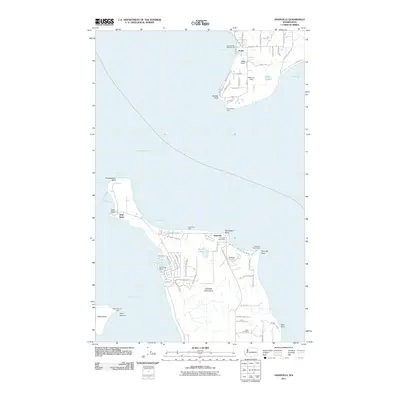 2011 Hansville2011 Print · USGSThe northern Kitsap Peninsula and the shores of Whidbey Island are documented here in the early twenty-first century. Local researchers can locate family landmarks and community sites like Hansville Cemetery, Point No Point Light, and the Hansville Post Office.
 - 2011 Map of Mukilteo, 2011 Print
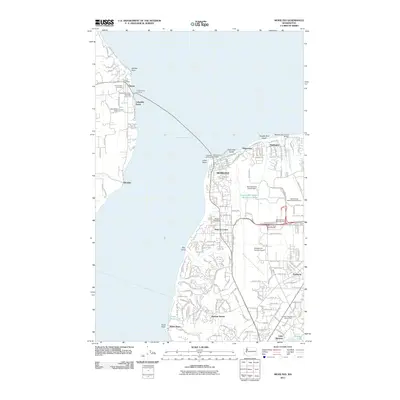 2011 Mukilteo2011 Print · USGSMaritime and aviation history converge at the turn of the decade along the shores of Possession Sound. Researchers can trace the ferry route between the Clinton Ferry Landing and Mukilteo or locate landmarks like the Mukilteo Lighthouse and Snohomish County Airport.
 - 2011 Map of Utsalady, 2011 Print
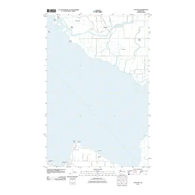 2011 Utsalady2011 Print · USGSCoastal Skagit County and Camano Island are captured here in the early twenty-first century as the river meets the sea. Genealogists and local historians can trace the roads of Fir Island and locate landmarks like Utsalady and Rexville.
 - 2011 Map of Coupeville, 2011 Print
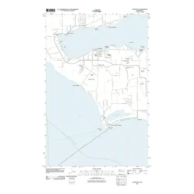 2011 Coupeville2011 Print · USGSWhidbey Island's historic heart and maritime gateways are detailed here during the early twenty-first century. Genealogists and local historians can trace the foundations of Coupeville and find landmarks like Sunnyside Cemetery, Fort Casey, and the old docks at San de Fuca.
 - 2011 Map of Lopez Pass, 2011 Print
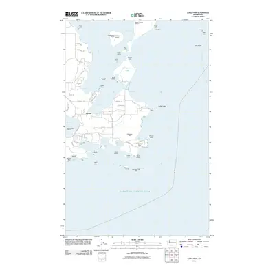 2011 Lopez Pass2011 Print · USGSThe southern tip of Lopez Island and its surrounding archipelago appear in fine detail during the early twenty-first century. Researchers can trace the coastal developments around Islandale, locate private airstrips like Center Island Airport, and identify maritime landmarks including Belle Rock Light and the Mackaye Harbor Public Dock.
 - 2011 Map of Edmonds West, 2011 Print
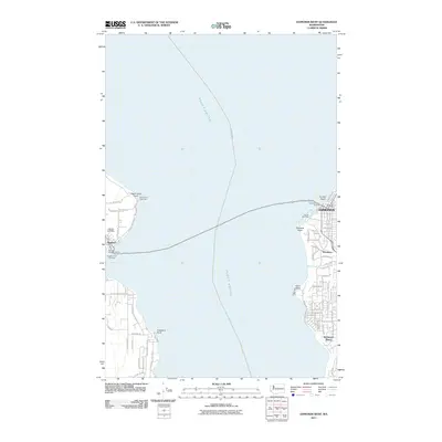 2011 Edmonds West2011 Print · USGSThe Puget Sound shoreline comes alive in this 2011 survey of the maritime corridor between Edmonds and Kingston. Trace the vital ferry connections between Edmonds Ferry Landing and Kingston Ferry Landing, or locate local landmarks like Apple Cove Point Light.
 - 2011 Map of Oak Harbor, 2011 Print
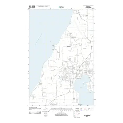 2011 Oak Harbor2011 Print · USGSWhidbey Island in the early twenty-first century reveals a landscape shaped by its naval presence and rugged coastline. Local historians can trace the development of Oak Harbor and find specific local landmarks like Maple Leaf Cemetery and Loers Pond.
 - 2011 Map of Camano, 2011 Print
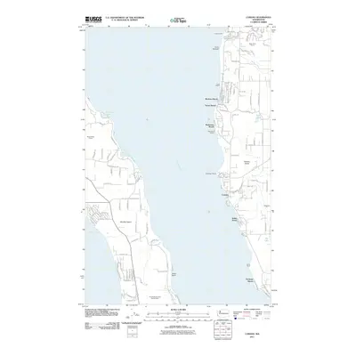 2011 Camano2011 Print · USGSCoastal Washington life in the early 2010s is centered on the sound, where the waters of the Saratoga Passage meet the shores of Whidbey Island. Researchers can trace shoreline settlements from Madrona Beach to Indian Beach or locate local industrial sites like the Miracle Mine Quarry.
 - 2011 Map of Anacortes South, 2011 Print
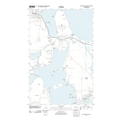 2011 Anacortes South2011 Print · USGSFidalgo Island and the Swinomish Reservation are captured here in the early twenty-first century, showing a landscape of maritime commerce and island settlements. Genealogists and locals can trace the areas around Swinomish Village, Grandview Cemetery, and the Rainbow Bridge.
 - 2011 Map of Gardiner OE N, 2011 Print
 2011 Gardiner OE N2011 Print · USGSThe maritime gateway of the Strait of Juan de Fuca is captured here in the early twenty-first century. Marine researchers and historians can trace the shoreline of Protection Island and locate nearby underwater features like Dallas Bank.
 - 2014 Map of Mukilteo, 2014 Print
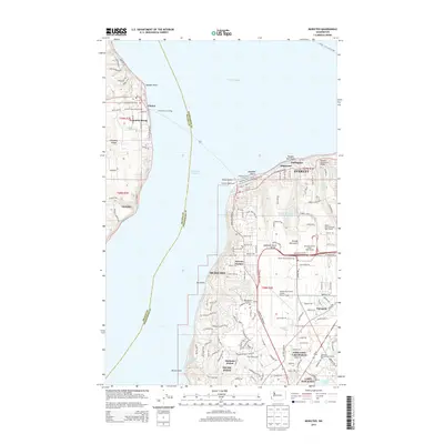 2014 Mukilteo2014 Print · USGSThe maritime gateway between Whidbey Island and the mainland is captured here in the early twenty-first century. Researchers can trace transportation links from the Mukilteo Ferry Landing to the island settlements of Clinton and Glendale, alongside the sprawling grounds of Paine Field.
 - 2014 Map of Hansville, 2014 Print
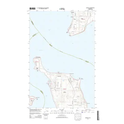 2014 Hansville2014 Print · USGSThe northern tip of the Kitsap Peninsula and southern Whidbey Island are mapped here in the early twenty-first century as maritime hubs and coastal retreats. Genealogists and historians can trace the grounds of Hansville Cem and Eglon Cem or locate the Point No Point Light and Mirth Airport.
 - 2014 Map of Maxwelton, 2014 Print
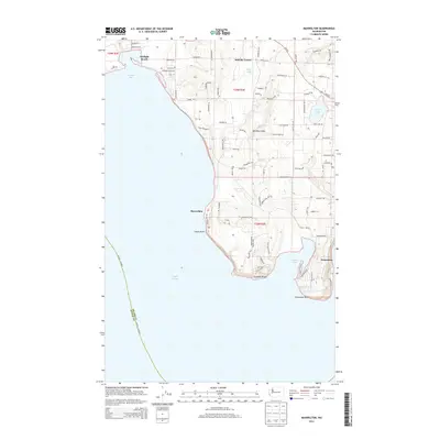 2014 Maxwelton2014 Print · USGSSouthern Whidbey Island is captured in the mid-2010s, showing a landscape of coastal communities and protected bays. Discover the layout of shoreline settlements like Sunlight Beach and Maxwelton, or trace the rugged points of Scatchet Head and Possession Point.
 - 2014 Map of Port Ludlow, 2014 Print
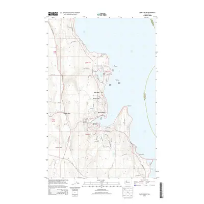 2014 Port Ludlow2014 Print · USGSPort Ludlow and the Jefferson County shoreline are shown here in the early twenty-first century, as maritime recreation and coastal living shaped the landscape. Researchers can locate the Mats Mats PO, trace family names along Beaver Valley, or explore local landmarks like Colvos Rocks Light and Swansonville.
Showing maps 1-25 of 105
Top cities of Island County
- Oak Harbor historical maps
- Freeland historical maps
- Coupeville historical maps
- Langley historical maps
- Clinton historical maps
Frequently asked questions
- What are the different types of historical maps available for Island County?
- What is the oldest map of Island County?
- Where can I purchase historical maps of Island County for my home or office?
- Where can I download high-res historical maps of Island County?
- Are there historical topographic maps available for Island County?
- Is there historical aerial imagery available for Island County?
- Where are historical maps of Island County sourced from?