2020s Maps of Island County, Washington
Explore 42 historic maps of Island County from the 2020s. These maps offer a rare glimpse into what life looked like during the 2020s — showing old roads, neighborhoods, homes, and landmarks that have changed or disappeared over time.
Whether you're researching your family's past, planning a metal detecting trip, or studying how Island County's landscape evolved across the 2020s, these high-resolution maps are a powerful tool for exploring the history of this region.
- Focus on a specific era: All maps on this page are from the 2020s, giving you a focused view of this time period.
- See what’s changed: Compare century-old streets, trails, and buildings to today's modern landscape using overlays and satellite layers.
- Research with precision: Use these maps for genealogy, historical research, land use analysis, or educational projects.
- View, download, or print: Maps are fully viewable online in high resolution, and can be downloaded or printed for your own records.
Start exploring Island County's history through authentic maps from the 2020s. This is your window into the past.
Island County, WA maps
(42)- 2020 Map of Mukilteo, 2020 Print
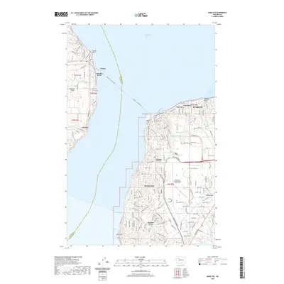 2020 Mukilteo2020 Print · USGSWhidbey Island and the Snohomish mainland meet at the turn of the 2020s, linked by the busy Mukilteo - Clinton Ferry. Researchers can trace the legacy of the sound at Elliot Point, locate the Mukilteo Pioneer Cem, or study the aviation grounds of Paine Field.
 - 2020 Map of Port Ludlow, 2020 Print
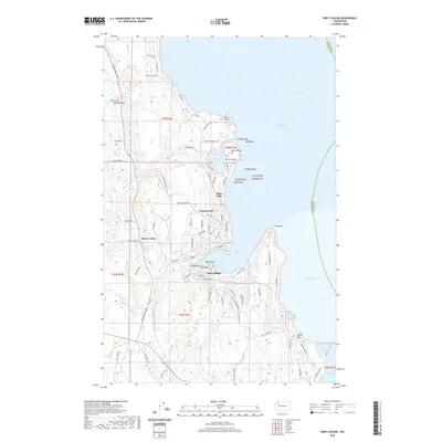 2020 Port Ludlow2020 Print · USGSJefferson County's eastern shore comes into focus in this contemporary study of the Olympic Peninsula's maritime landscape. Researchers can trace local development around Port Ludlow and Mats Mats, or locate geographic landmarks like Tala Point and Teal Lake.
 - 2020 Map of Edmonds West, 2020 Print
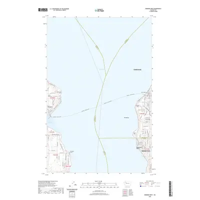 2020 Edmonds West2020 Print · USGSPuget Sound maritime traffic and coastal suburban growth define this region in the early 2020s. Trace the vital Edmonds - Kingston Ferry route between the docks at Kingston and the shoreline communities of Woodway and Richmond Beach.
 - 2020 Map of Maxwelton, 2020 Print
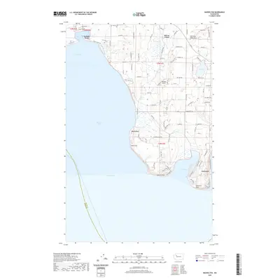 2020 Maxwelton2020 Print · USGSSouthern Whidbey Island is depicted here in the contemporary era, showing a landscape defined by coastal communities and saltwater inlets. Researchers can trace local landmarks like Bayview Cem, the Skagit Valley College South Whidbey Center, and the shores of Deer Lagoon.
 - 2020 Map of Hansville, 2020 Print
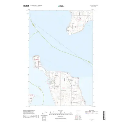 2020 Hansville2020 Print · USGSThe northern reaches of the Kitsap Peninsula meet the waters of the sound in the modern era. Genealogists and local historians can locate family burial sites at Hansville Cem or trace the coastline from Norwegian Point to the historic Point No Point.
 - 2020 Map of Juniper Beach, 2020 Print
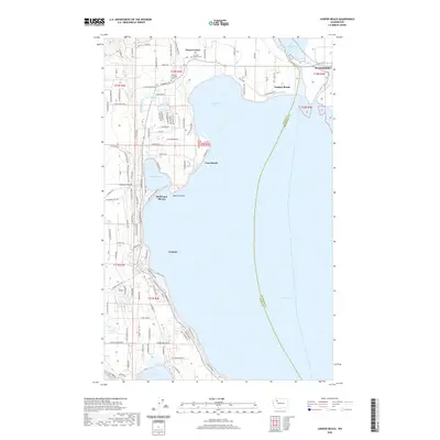 2020 Juniper Beach2020 Print · USGSCamano Island and the mainland near Stanwood are shown in this recent topographic study of the Puget Sound shoreline. Genealogists can locate the Camano Pioneer Cem and Camano Lutheran Cem or trace family roots through the early roads of Terrys Corner.
 - 2020 Map of Oak Harbor, 2020 Print
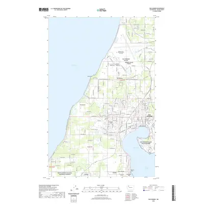 2020 Oak Harbor2020 Print · USGSOak Harbor and northern Whidbey Island appear in 2020 as a blend of strategic military hubs and protected historical lands. Trace the boundaries of Ebey's Landing National Historical Reserve or locate local landmarks like Maple Leaf Cem and Klootchman Rock.
 - 2020 Map of Gardiner OE N, 2020 Print
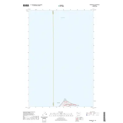 2020 Gardiner OE N2020 Print · USGSThe maritime reaches of the northern Olympic Peninsula are captured in this recent survey, showcasing the waters where the strait meets the sound. Researchers can locate the distinctive shape of Protection Island, trace the spit at Violet Point, and identify the submerged Dallas Bank.
 - 2020 Map of Anacortes South, 2020 Print
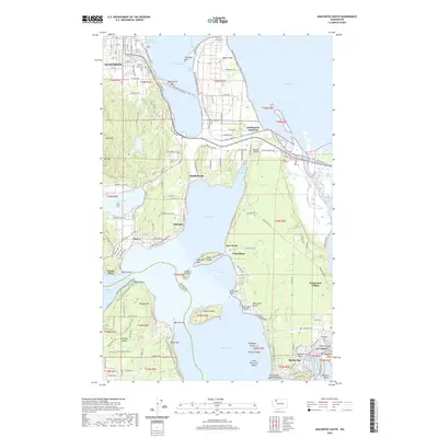 2020 Anacortes South2020 Print · USGSCoastal Skagit County comes alive in this contemporary view of the Fidalgo and Whidbey Island intersection. Genealogists and hikers can trace the Pacific NW National Scenic Trail past Grand View Cem down to the shores of Swinomish Village.
 - 2020 Map of Nordland, 2020 Print
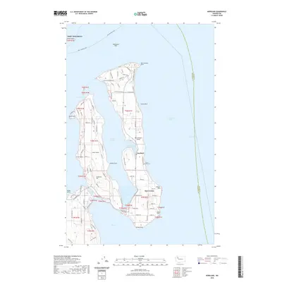 2020 Nordland2020 Print · USGSMarrowstone and Indian Islands are captured in detail during the 2020s, showing the complex shoreline of Jefferson County. Researchers can locate the Sound View Cem, the strategic Anti-Aircraft Battery, and the small community of Nordland along Mystery Bay.
 - 2020 Map of Crescent Harbor, 2020 Print
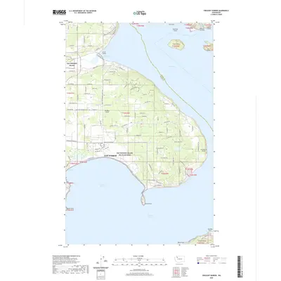 2020 Crescent Harbor2020 Print · USGSWhidbey Island is shown in the modern era as a vital naval hub and residential community surrounded by the waters of the Puget Sound. Genealogists and hikers can trace the Pacific NW National Scenic Trail as it passes near Clover Valley and the Nas Whidbey Island Sea Plane Base.
 - 2020 Map of Coupeville, 2020 Print
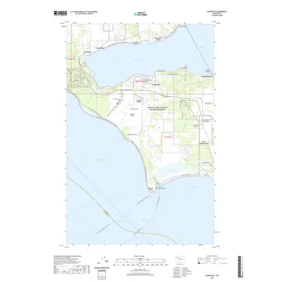 2020 Coupeville2020 Print · USGSWhidbey Island settlement and agricultural heritage are on full display in this contemporary survey of the Central Sound. Researchers can trace historic farm boundaries near Sunnyside Cem and locate landmarks like Admiralty Head or San de Fuca.
 - 2020 Map of Deception Pass, 2020 Print
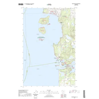 2020 Deception Pass2020 Print · USGSFidalgo Island and the northern tip of Whidbey Island are shown here in the 2020s, a landscape defined by dramatic marine passages and protected wildlands. You can trace the trails of Deception Pass State Park and locate island landmarks like Ben Ure Island and Anaco Beach.
 - 2020 Map of Smith Island, 2020 Print
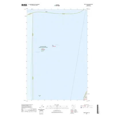 2020 Smith Island2020 Print · USGSThe maritime boundaries of the Salish Sea are captured here in 2020, focusing on the isolated refuge of Smith Island. Maritime historians and researchers can trace the coastal path of the Pacific NW National Scenic Trail and the waters of Partridge Bank.
 - 2020 Map of Tulalip, 2020 Print
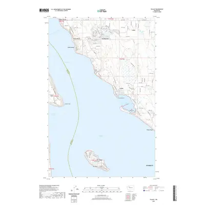 2020 Tulalip2020 Print · USGSCoastal Washington at the start of the 2020s shows the continued growth of waterfront communities across the Tulalip Reservation and Snohomish County. Trace the development of shoreline settlements like Tulare Beach and the isolated community of Hat Island on Gedney Island.
 - 2020 Map of Camano, 2020 Print
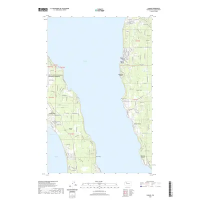 2020 Camano2020 Print · USGSCamano Island and Whidbey Island face one another across the Saratoga Passage in this recent survey of Washington's coastal sound. Researchers can locate residential beach settlements like Madrona Beach and Indian Beach or trace the boundaries of Ebey's Landing National Historical Reserve.
 - 2020 Map of Langley, 2020 Print
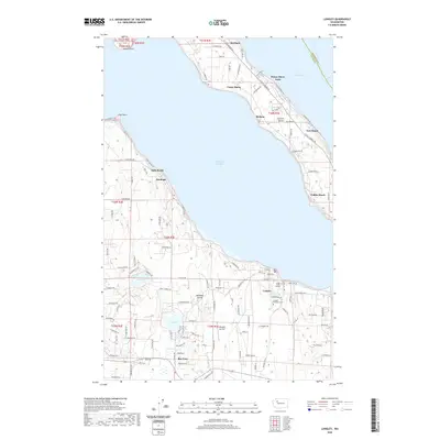 2020 Langley2020 Print · USGSWhidbey Island and Camano Island meet across the Saratoga Passage in the modern era. Researchers can trace local landmarks like Langley Woodman Cem, the Whidbey Air Park, and waterfront settlements from Bells Beach to Tyee Beach.
 - 2020 Map of Utsalady, 2020 Print
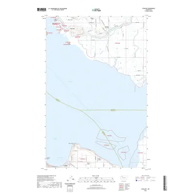 2020 Utsalady2020 Print · USGSThe Skagit River delta meets the Salish Sea in this recent survey of the coastal marshlands and island communities. Genealogists and local historians can trace the roads and waterways connecting Fish Town, Rexville, and the historic port area of Utsalady.
 - 2020 Map of Freeland, 2020 Print
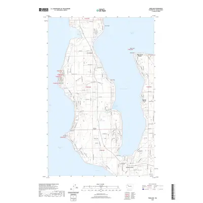 2020 Freeland2020 Print · USGSWhidbey Island is captured here in the twenty-first century, showing the established communities of Freeland and Greenbank along the shores of Holmes Harbor. Trace the coastal development from Baby Island Heights to Bush Point as it appeared in recent years.
 - 2020 Map of Port Townsend North, 2020 Print
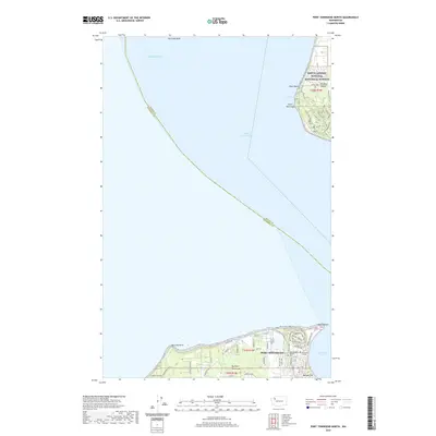 2020 Port Townsend North2020 Print · USGSPort Townsend and Whidbey Island stand as sentinels at the entrance to the Sound in the early twenty-first century. Genealogists and historians can trace the grounds of Fort Worden Military, locate the local Cemetery, or explore the protected lands of Ebey's Landing.
 - 2020 Map of Lopez Pass, 2020 Print
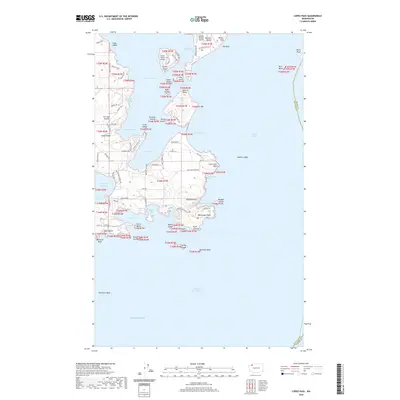 2020 Lopez Pass2020 Print · USGSThe southeastern San Juan Islands are captured here in the contemporary era, showing the rugged coastline where Lopez Sound meets the Rosario Strait. Trace the roads and landmarks of the local waterfront, including Chadwick Hill, Decatur Shores Airport, and Watmough Head.
 - 2023 Map of Smith Island, 2023 Print
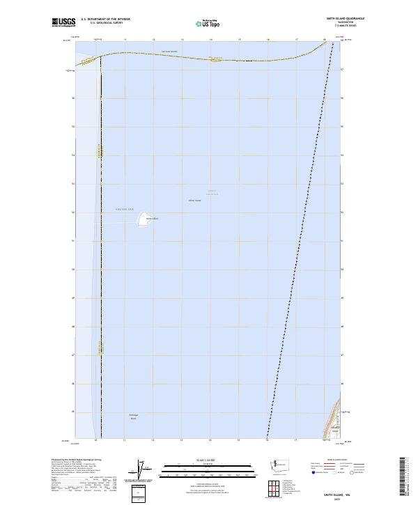 2023 Smith Island2023 Print · USGSThe isolated outcroppings of the San Juan Islands are documented here in the early twenty-first century, surrounded by the Strait of Juan de Fuca. Researchers can trace the boundaries of the San Juan Islands National Wildlife Refuge at Smith Island and Minor Island.
 - 2023 Map of Utsalady, 2023 Print
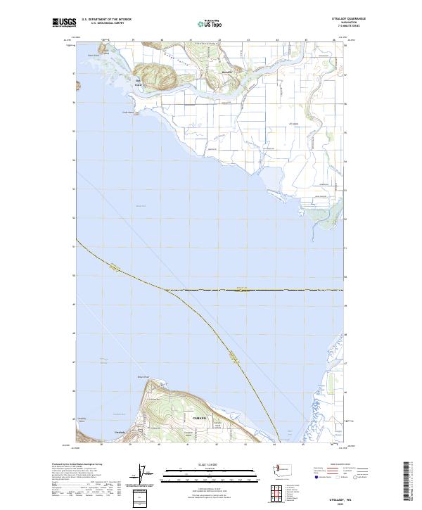 2023 Utsalady2023 Print · USGSSkagit Bay and the northern tip of Camano Island appear here in their modern coastal context. Researchers can trace the intricate delta waterways of Fir Island and locate the historic settlement of Utsalady near Utsalady Bay.
 - 2023 Map of Nordland, 2023 Print
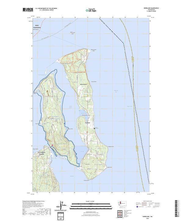 2023 Nordland2023 Print · USGSMarrowstone and Indian Islands are shown in detail during the early 2020s, highlighting the unique maritime geography of Jefferson County. Genealogists and historians can locate View Cem, the community of Nordland, and the strategic Portage Canal.
 - 2023 Map of Port Townsend North, 2023 Print
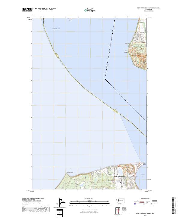 2023 Port Townsend North2023 Print · USGSThe maritime gateway of Port Townsend and the protected shores of Whidbey Island are captured here in the early twenty-first century. Researchers can locate Saint Marys Catholic Cem or trace coastal paths like the Pacific Northwest National Scenic Trl.
Showing maps 1-25 of 42
Top cities of Island County
- Oak Harbor historical maps
- Freeland historical maps
- Coupeville historical maps
- Langley historical maps
- Clinton historical maps
Frequently asked questions
- What are the different types of historical maps available for Island County?
- What is the oldest map of Island County?
- Where can I purchase historical maps of Island County for my home or office?
- Where can I download high-res historical maps of Island County?
- Are there historical topographic maps available for Island County?
- Is there historical aerial imagery available for Island County?
- Where are historical maps of Island County sourced from?