Old Maps of Upper Hoh, Washington for Genealogy
Trace your family roots with 13 historic maps of Upper Hoh. These high-res maps reveal old neighborhoods, homesites, landmarks, and streets — helping you uncover where your ancestors lived and how the area evolved over time.
- Explore historic neighborhoods: Identify where your relatives may have lived in the 1800s or 1900s.
- Compare maps over time: Trace the changes in streets, buildings, and landmarks for multi-generational research.
- Perfect for genealogy & ancestry research: Used by family historians and researchers to map out lineage and migration.
These maps are an incredible resource for exploring your personal connection to Upper Hoh's past.
Upper Hoh, WA maps
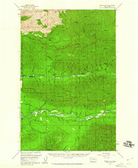
(13)- 1943 Map of Spruce Mountain
 1943 Spruce Mountain1943 Print · USGSJefferson and Clallam Counties during the wartime era show a landscape of deep timber and isolated homesteads. Researchers can locate remote family holdings like the Huelsdonk Ranch and Schmidt Ranch or trace trails to the Bogachiel Guard Station.
 - 1943 Map of Copalis Beach
 1943 Copalis Beach1943 Print · USGSThe Washington coast in the 1940s is detailed here from the Olympic Peninsula to the Columbia River. Trace old beach settlements like Moclips and Copalis Beach alongside landmarks like the Willapa Bay Lighthouse.
 - 1951 Map of Copalis Beach
 1951 Copalis Beach1951 Print · USGSThe Olympic Peninsula's rugged coast and tribal lands are meticulously detailed in the early 1950s. Genealogists and historians can trace the foundations of coastal communities from Taholah to La Push or locate early markers like the James Island Lighthouse.
 - 1956 Map of Spruce Mtn., 1960 Print
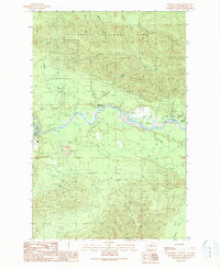
 1956 Spruce Mtn.1960 Print · USGSThe Olympic Peninsula backcountry is revealed in the mid-fifties, showing the deep river valleys of the Hoh and Bogachiel. Researchers can find early homesteads like Huelsdonk Ranch and follow wilderness routes like the Bogachiel-Hoh Trail.3 unique versions available
 - 1957 Map of Copalis Beach, 1968 Print
 1957 Copalis Beach1968 Print · USGSThe Washington coast during the late fifties reveals a landscape of tribal reservations and timber towns linked by the Northern Pacific RR. Trace family history and land patterns near Forks Cemetery, the shingle mill, or coastal landings like Taholah and Oysterville.2 unique versions available
 - 1963 Map of Copalis Beach
 1963 Copalis Beach1963 Print · USGSThe Washington coast in the early sixties reveals a landscape of massive timber reserves, indigenous lands, and quiet seaside villages. Genealogists and historians can trace the foundations of coastal life through sites like Lone Fir Cemetery, the Dismantled RR, and the historic oyster beds of Oysterville.
 - 1988 Map of Forks
 1988 Forks1988 Print · USGSThe Olympic Peninsula's western coastline and timber heartland are documented here in the late eighties, from the high ridges to the Pacific shelf. Local researchers can trace the coastal settlements of La Push and Mora or locate remote sites like Destruction Island.
 - 1990 Map of Winfield Creek
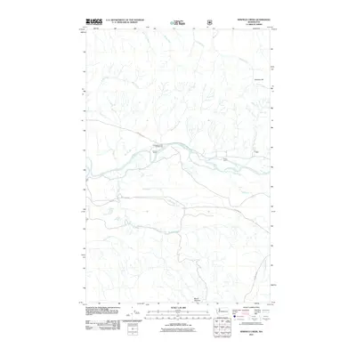
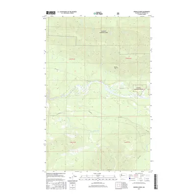
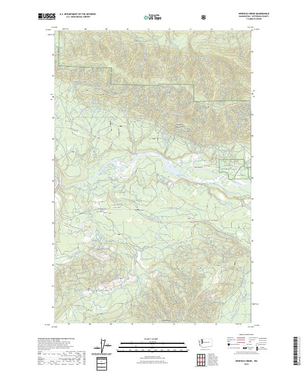
 1990 Winfield Creek1990 Print · USGSThe Olympic Peninsula backcountry is documented here in the early nineties, centered on the Hoh River valley. Researchers can trace forest management boundaries and find recreational landmarks like the Minnie Peterson Campground or the Boat Ramp near Willoughby Creek.
 - 2011 Map of Winfield Creek, 2011 Print
 2011 Winfield Creek2011 Print · USGSCovers Upper Hoh, including Jefferson County, United States, and other nearby areas
 - 2014 Map of Winfield Creek, 2014 Print
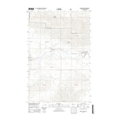 2014 Winfield Creek2014 Print · USGSCovers Upper Hoh, including Jefferson County, United States, and other nearby areas
 - 2017 Map of Winfield Creek, 2017 Print
 2017 Winfield Creek2017 Print · USGSCovers Upper Hoh, including Jefferson County, United States, and other nearby areas
 - 2020 Map of Winfield Creek, 2020 Print
 2020 Winfield Creek2020 Print · USGSCovers Upper Hoh, including Jefferson County, United States, and other nearby areas
 - 2023 Map of Winfield Creek, 2023 Print
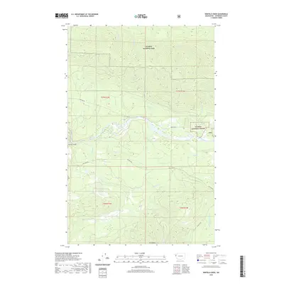
 2023 Winfield Creek2023 Print · USGSJefferson County’s river valleys and protected wilderness are documented here in the early twenty-first century. Researchers can trace the rugged drainage of the Hoh River and identify landmarks like Mt Octopus and the Hoh Mainline.
End of results
Showing maps 1-13 of 13
Top cities near Upper Hoh
Frequently asked questions
- What are the different types of historical maps available for Upper Hoh?
- What is the oldest map of Upper Hoh?
- Where can I purchase historical maps of Upper Hoh for my home or office?
- Where can I download high-res historical maps of Upper Hoh?
- Are there historical topographic maps available for Upper Hoh?
- Is there historical aerial imagery available for Upper Hoh?
- Where are historical maps of Upper Hoh sourced from?