Old Maps of Scenic, Washington for Genealogy
Trace your family roots with 10 historic maps of Scenic. These high-res maps reveal old neighborhoods, homesites, landmarks, and streets — helping you uncover where your ancestors lived and how the area evolved over time.
- Explore historic neighborhoods: Identify where your relatives may have lived in the 1800s or 1900s.
- Compare maps over time: Trace the changes in streets, buildings, and landmarks for multi-generational research.
- Perfect for genealogy & ancestry research: Used by family historians and researchers to map out lineage and migration.
These maps are an incredible resource for exploring your personal connection to Scenic's past.
Scenic, WA maps
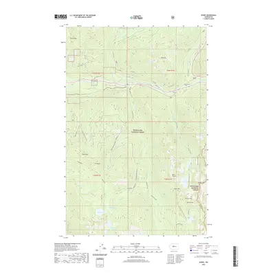
(10)- 1902 Map of Skykomish
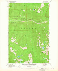
 1902 Skykomish1902 Print · USGSThe central Cascades were defined by the rail corridor at the turn of the century as the high passes were first conquered. Genealogists and historians can trace early mountain settlements like Monte Cristo, Mineral City, and Skykomish along the Great Northern Railway.
 - 1905 Map of Skykomish
 1905 Skykomish1905 Print · USGSThe central Cascades at the start of the century reveal a landscape of high-altitude mining and the engineering of the Great Northern railroad. Trace early mountain settlements like Monte Cristo, the rail siding at Tonga, and the original Cascade Tunnel.7 unique versions available
 - 1957 Map of Wenatchee, 1973 Print
 1957 Wenatchee1973 Print · USGSThe northern Cascades and Columbia River valley appear here in the mid-fifties, showing the region's critical rail and transit corridors. Researchers can trace the routes of the Great Northern RR and Milwaukee Road through settlements like Skykomish, Baring, and Dryden.2 unique versions available
 - 1965 Map of Scenic, 1967 Print
 1965 Scenic1967 Print · USGSIn the mid-1960s, the high Cascades near the King and Chelan county line remained a rugged corridor of rail engineering and wilderness trails. Genealogists and hikers can trace the original Great Northern Railroad alignment, the Cascade Tunnel, and the historic Tonga Ridge Pack Trail.4 unique versions available
 - 1975 Map of Skykomish River, 1977 Print
 1975 Skykomish River1977 Print · USGSThe Cascades meet the river valleys in the mid-seventies, showing the vital rail corridors and mountain towns along the Skykomish River. Researchers can trace the path of the Pacific Crest National Scenic Trail and locate historic sites like State Reformatory Farm No 2 and the Old Cascade Tunnel.2 unique versions available
 - 2011 Map of Scenic, 2011 Print
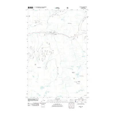 2011 Scenic2011 Print · USGSCovers Scenic, including King County, Chelan County, and other nearby areas
 - 2014 Map of Scenic, 2014 Print
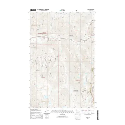 2014 Scenic2014 Print · USGSCovers Scenic, including King County, Chelan County, and other nearby areas
 - 2017 Map of Scenic, 2017 Print
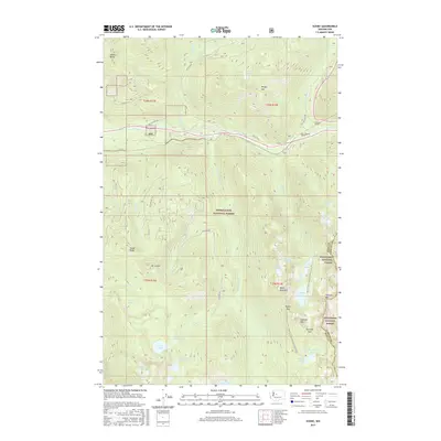 2017 Scenic2017 Print · USGSCovers Scenic, including King County, Chelan County, and other nearby areas
 - 2020 Map of Scenic, 2020 Print
 2020 Scenic2020 Print · USGSCovers Scenic, including King County, Chelan County, and other nearby areas
 - 2023 Map of Scenic, 2023 Print
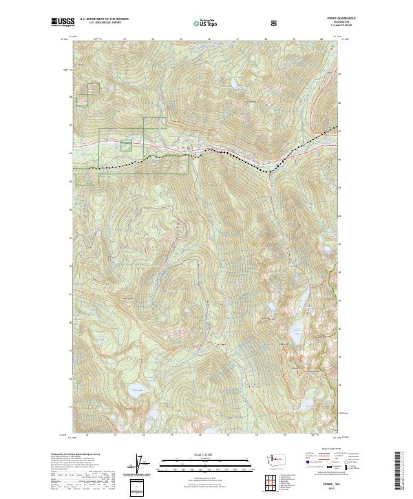 2023 Scenic2023 Print · USGSThe Cascade crest in the early twenty-first century remains a landscape of historic transit and high-country solitude. Trace the path of the Iron Goat Trl and the Old Cascade Hwy as they navigate the falls of the Tye River.
End of results
Showing maps 1-10 of 10
Top cities near Scenic
Frequently asked questions
- What are the different types of historical maps available for Scenic?
- What is the oldest map of Scenic?
- Where can I purchase historical maps of Scenic for my home or office?
- Where can I download high-res historical maps of Scenic?
- Are there historical topographic maps available for Scenic?
- Is there historical aerial imagery available for Scenic?
- Where are historical maps of Scenic sourced from?