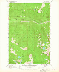
1965 Map of Scenic
USGS Topo · Published 1967About this map
The Great Northern Railroad defines the industrial footprint of this mid-1960s survey, cutting through the high Cascades along the Tye River. The transition from the Old Railroad Grade to the engineering feat of the Cascade Tunnel illustrates the evolving railway path through this difficult terrain. Situated within the Snoqualmie National Forest, the map captures a landscape dedicated to early outdoor recreation and resource management, featuring the Deception Creek Campground and a network of historic paths like the Tonga Ridge Pack Trail.
Find a feature on this map
51 named features on this map. Tap any name to fly to it.
Don’t see what you’re looking for? This feature index may not catch every label — zoom into the map to look around manually.
Map Details
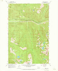
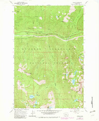
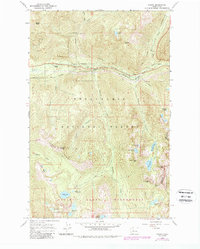
Editions of this 1965 Scenic Map
4 editions found
Other maps of this area

1902 · Skykomish
USGS Topo · 1:125,000

1905 · Skykomish
USGS Topo · 1:125,000

1957 · Wenatchee
USGS Topo · 1:250,000

1965 · Captain Point
USGS Topo · 1:24,000

1965 · Evergreen Mtn
USGS Topo · 1:24,000

1965 · Stevens Pass
USGS Topo · 1:24,000

1965 · Mount Daniel
USGS Topo · 1:24,000

1965 · Skykomish
USGS Topo · 1:24,000
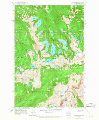
1965 · Big Snow Mtn
USGS Topo · 1:24,000
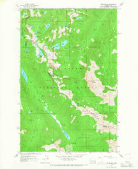
1965 · The Cradle
USGS Topo · 1:24,000