Old Maps of Lodge Creek Estates, Washington for Metal Detecting
Plan your next treasure hunt with 11 historic maps of Lodge Creek Estates. Find old homesites, ghost towns, trails, and gathering spots that may be lost to time — perfect for identifying promising metal detecting locations.
- Locate forgotten sites: Uncover places like long-lost settlements, abandoned rail lines, or gathering spots.
- Plan better hunts: Use map overlays combined with LiDAR or satellite views to narrow in on historically rich areas.
- Made for detectorists: Thousands of hobbyists use these maps to discover relics, coins, and hidden history.
Use these historic maps to boost your research and find new opportunities beneath the surface of Lodge Creek Estates.
Lodge Creek Estates, WA maps
(11)- 1901 Map of Snoqualmie Pass, 1956 Print
 1901 Snoqualmie Pass1956 Print · USGSSnoqualmie Pass and the central Cascades are seen here during the early years of transcontinental rail expansion. Trace the original Northern Pacific route through the Stampede Tunnel and past early mountain stops like Easton, Hyak, and Ronald.2 unique versions available
 - 1903 Map of Snoqualmie
 1903 Snoqualmie1903 Print · USGSThe Cascade Range at the turn of the century was a landscape of high-altitude rail engineering and timber potential. Trace the Northern Pacific RR through the Stampede Tunnel to early mountain settlements like Easton and Lester.6 unique versions available
 - 1957 Map of Wenatchee, 1973 Print
 1957 Wenatchee1973 Print · USGSThe northern Cascades and Columbia River valley appear here in the mid-fifties, showing the region's critical rail and transit corridors. Researchers can trace the routes of the Great Northern RR and Milwaukee Road through settlements like Skykomish, Baring, and Dryden.2 unique versions available
 - 1961 Map of Snoqualmie Pass, 1963 Print
 1961 Snoqualmie Pass1963 Print · USGSSnoqualmie Pass and the surrounding Cascade peaks are shown in the early sixties as the region's rail and water infrastructure matured. Researchers can trace the transcontinental routes of the Northern Pacific RR and locate early mountain outposts like Hyak and Whittier.3 unique versions available
 - 1975 Map of Snoqualmie Pass, 1977 Print
 1975 Snoqualmie Pass1977 Print · USGSThe central Cascades are shown here in the mid-seventies, just as the regional balance between industrial timber, rail transport, and recreation was shifting. Genealogists and hikers can trace old rail stops like Lester and Nagrom, or follow the Pacific Crest National Scenic Trail past Keechelus Lake.
 - 1989 Map of Stampede Pass
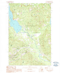 1989 Stampede Pass1989 Print · USGSThe Cascades crossing at Stampede Pass comes into focus in the late eighties, showing a landscape defined by critical rail and water infrastructure. Researchers can locate the Whittier (Site), the deep Stampede Tunnel, and the high-elevation Keechelus Lake.2 unique versions available
 - 2011 Map of Stampede Pass, 2011 Print
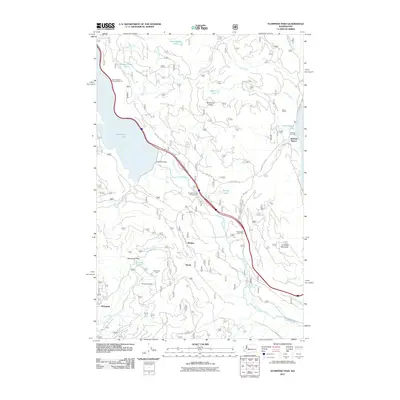 2011 Stampede Pass2011 Print · USGSThe high Cascades at the start of the twenty-first century reveal a landscape shaped by alpine transit and water management. You can trace the path of the Stampede Tunnel and explore mountain outposts like Whittier, Martin, and Bakers Camp.
 - 2014 Map of Stampede Pass, 2014 Print
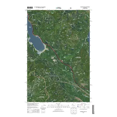 2014 Stampede Pass2014 Print · USGSHigh in the Cascades during the early twenty-first century, this area reveals the complex engineering required to navigate the mountain passes. Researchers can trace the path of the Pacific Crest National Scenic Trail and locate historic transit points like Stampede Tunnel and the settlement of Martin.
 - 2017 Map of Stampede Pass, 2017 Print
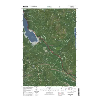 2017 Stampede Pass2017 Print · USGSThe Cascade crest comes into focus during the late 2010s, highlighting the vital rail and trail corridor through Stampede Pass. Historians and hikers can trace the Stampede Tunnel, the Pacific Crest National Scenic Trail, and old railway points like Whittier and Martin.
 - 2020 Map of Stampede Pass, 2020 Print
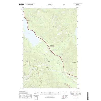 2020 Stampede Pass2020 Print · USGSThe high Cascade crest at the border of King and Kittitas counties is shown here in the 2020s, dominated by the railroad corridor at Stampede Pass. You can trace the engineering of the Stampede Tunnel, locate the settlement of Martin, and follow the John Wayne trail.
 - 2023 Map of Stampede Pass, 2023 Print
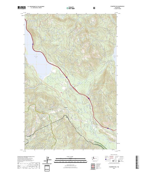 2023 Stampede Pass2023 Print · USGSThe mountain crossing at Stampede Pass in the 2020s remains a vital link between the Puget Sound and the Yakima Valley. Researchers can trace the heritage of the rail line through old stops like Martin and Whittier or follow the John Wayne Trl.
End of results
Showing maps 1-11 of 11
Frequently asked questions
- What are the different types of historical maps available for Lodge Creek Estates?
- What is the oldest map of Lodge Creek Estates?
- Where can I purchase historical maps of Lodge Creek Estates for my home or office?
- Where can I download high-res historical maps of Lodge Creek Estates?
- Are there historical topographic maps available for Lodge Creek Estates?
- Is there historical aerial imagery available for Lodge Creek Estates?
- Where are historical maps of Lodge Creek Estates sourced from?