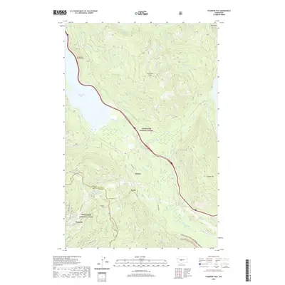
2020 Map of Stampede Pass
USGS Topo · Published 2020About this map
The divide of the Cascade Range is clearly delineated where Stampede Pass crosses the boundary between the Wenatchee National Forest and Snoqualmie National Forest. This high-altitude corridor serves as a critical transit point, evidenced by the presence of the Stampede Tunnel and the Lake Keechelus Snowshed Tunnel, which facilitate passage for the rail line through the high-elevation terrain. Small settlements such as Whittier, Martin, and Stampede are positioned along this vital transport route, reflecting the legacy of railroad operations in the mountains.
Find a feature on this map
46 named features on this map. Tap any name to fly to it.
Don’t see what you’re looking for? This feature index may not catch every label — zoom into the map to look around manually.
Map Details
Editions of this 2020 Stampede Pass Map
This is the sole edition of this map. No revisions or reprints were ever made.
Other maps of this area

1901 · Snoqualmie Pass
USGS Topo · 1:125,000

1903 · Snoqualmie
USGS Topo · 1:125,000

1957 · Wenatchee
USGS Topo · 1:250,000

1961 · Snoqualmie Pass
USGS Topo · 1:62,500

1961 · Easton
USGS Topo · 1:62,500

1961 · Kachess Lake
USGS Topo · 1:62,500

1962 · Lester
USGS Topo · 1:62,500

1975 · Snoqualmie Pass
USGS Topo · 1:100,000

1989 · Easton
USGS Topo · 1:24,000
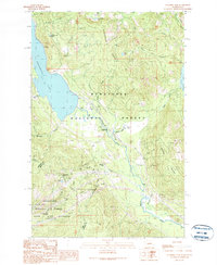
1989 · Stampede Pass
USGS Topo · 1:24,000